Search

DatuBIM

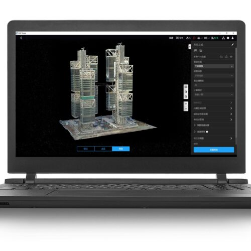
DatuBIM is an automated SaaS cloud platform designed and built for infrastructure construction projects. It enables you to monitor project progress, ensure quality, and control budgets based on actionable project execution metrics extracted from field data. By providing a single source of up-to-date data through the entire lifecycle of the asset built, DatuBIM empowers stakeholders to efficiently manage construction sites from planning through execution and maintenance.

Category

Inquire Now

    By submitting this message, you agree with the privacy policy and the processing of personal data.


    * - required fields

    Available on back-order

    Features

    Optimize your construction projects with DatuBIM and data-driven insight

    DatuBIM is an automated software-as-a-service (SaaS) cloud platform designed and built for infrastructure construction projects. It enables construction companies to monitor project progress, ensure quality, and control budgets based on actionable project execution metrics extracted from field data.

    By providing a single source of up-to-date data through the entire lifecycle of the asset built, DatuBIM empowers stakeholders to efficiently manage construction sites from planning through execution and maintenance. Digitizing and automating monitoring, data analysis and reporting processes bring simplicity and collaboration for your project management.

    DatuBIM 2.0 a non-intrusive, end-to-end service and collaboration platform that delivers automated engineering data analytics within hours of data capture. As-built digital twins and automated multi-dimensional, customized analytics deliver valuable insights for optimizing control and document processes, quality and budget. Built for speed, DatuBIM delivers automated engineering analytics within 24 hours, including automated comparisons with design plans, execution milestones and schedules.

    Specification

    Seamless integration with existing workflows and systems

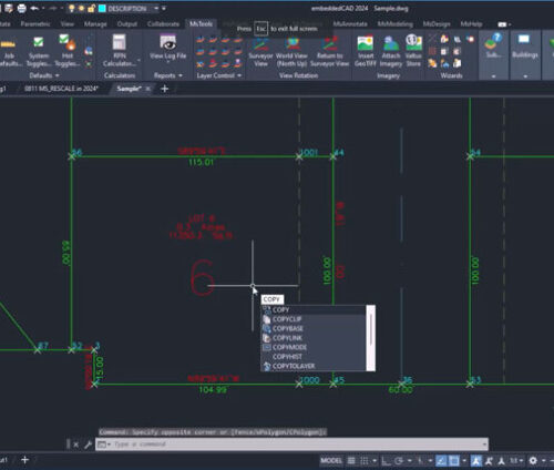
    • DatuBIM seamlessly supports a wide range of file formats, including DXF, LAS, TIF, DWG, XML, DGN, IFC, enabling smooth data integration with your existing workflows
    • Avoid disruption to your established processes as DatuBIM ensures compatibility with both global and local coordinate systems, supporting your specific project requirements

    Download brochure

      By submitting this message, you agree with the privacy policy and the processing of personal data.


      * - required fields

      Inquire price for DatuBIM