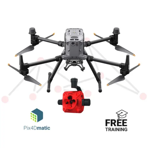
Pix4D provides industry-leading photogrammetry software for drone mapping and 3D reconstruction. It is widely used in surveying, construction, mining, and agriculture to generate accurate maps, point clouds, and digital twins from aerial imagery.
Payment methods will be available after adding the item to your cart.