Industry Applications
تطبيقات الطائرات بدون طيار في مراقبة الهواء وكشف التلوث
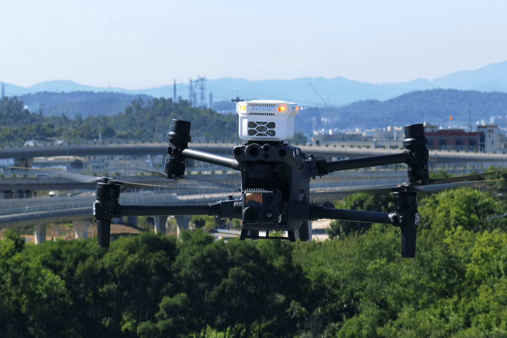
By: Dr. Amin Abd Elraheem (Ph.D., Training Manager) في السنوات الأخيرة، أحدث انتشار الطائرات بدون طيار تحولاً جذرياً في مجموعة
By: Dr. Amin Abd Elraheem (Ph.D., Training Manager) في السنوات الأخيرة، أحدث انتشار الطائرات بدون طيار تحولاً جذرياً في مجموعة

By: Dr. Amin Abd Elraheem (Ph.D., Training Manager) In recent years, the rise of unmanned aerial vehicles (UAVs), or drones,
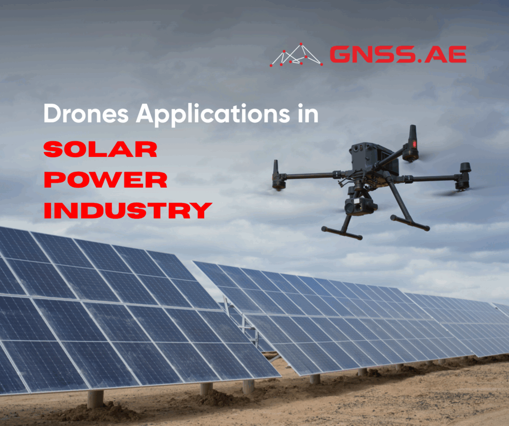
بقلم: د. أمين عبد الرحيم (دكتور مهندس، مدير التدريب) طائرة مع تسارع التحول العالمي نحو الطاقة المتجددة، يواجه قطاع الطاقة
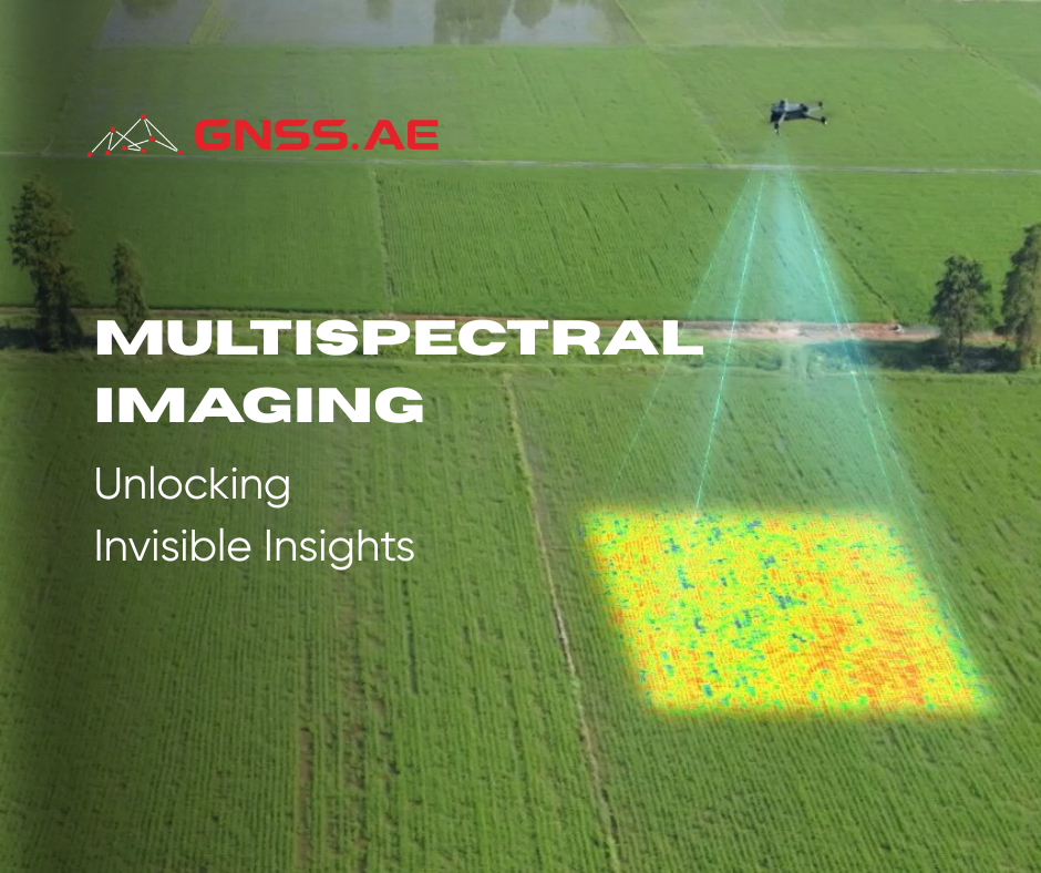
Multispectral imaging (MSI) is a technique for extracting information about objects by analyzing how they interact with electromagnetic radiation across
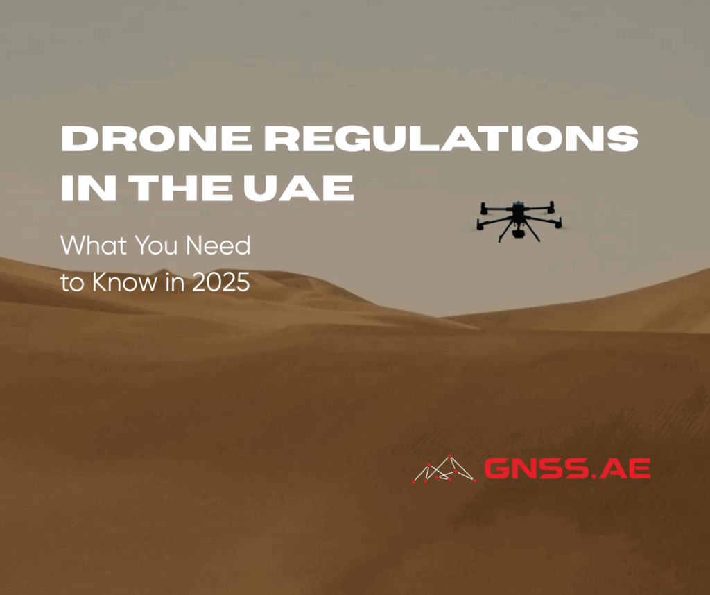
As drone adoption accelerates across various sectors, the United Arab Emirates remains at the forefront of enforcing comprehensive drone regulations
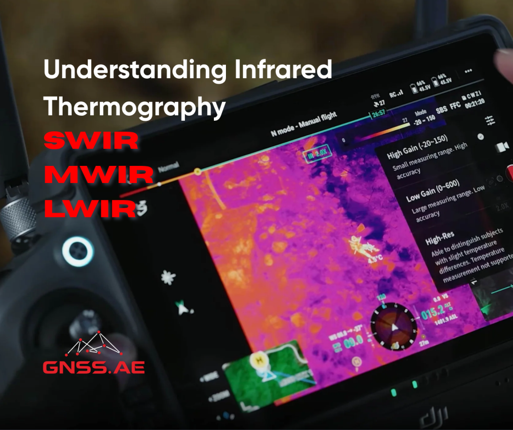
Infrared thermography has transformed a wide range of industries by delivering insight beyond the limits of visible light. It allows
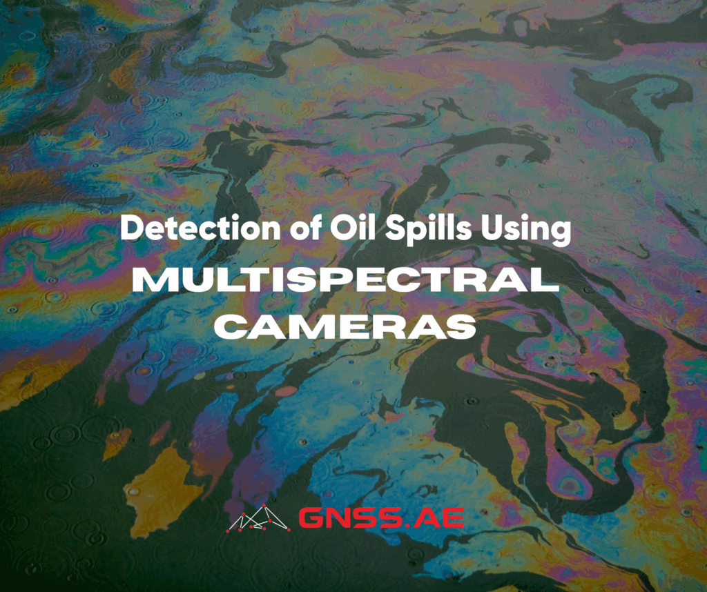
Oil spills represent a significant threat to marine ecosystems, coastal communities and global economies. According to the European Space Agency,
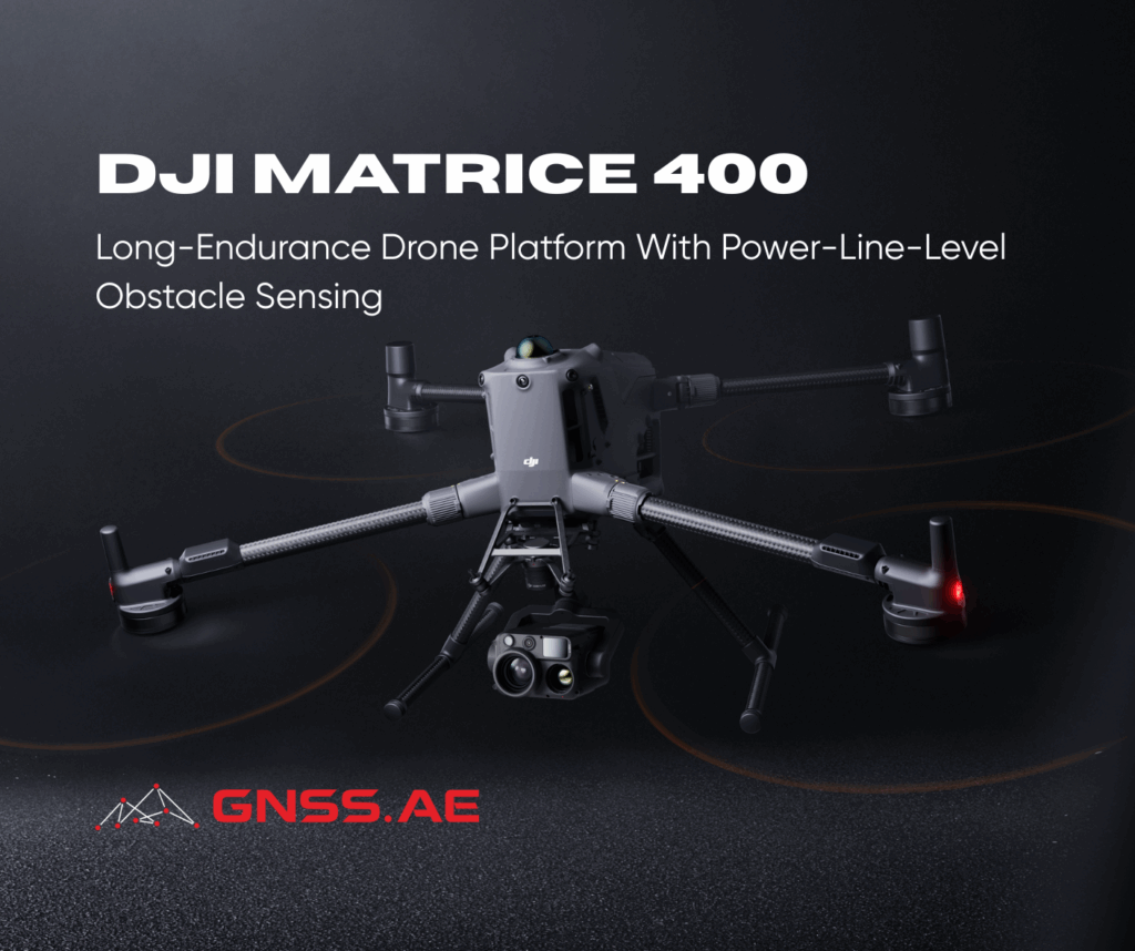
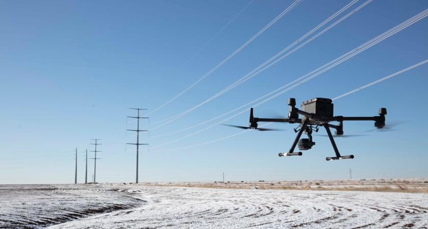
DJI has introduced the DJI Matrice 400, a game-changing heavy lift drone designed to transform enterprise drone operations. Find out
By: Dr. Amin Abd Elraheem (Ph.D., Training Manager) Faster, safer, more efficient and cost-effective operations, achieving 95% detection accuracy As
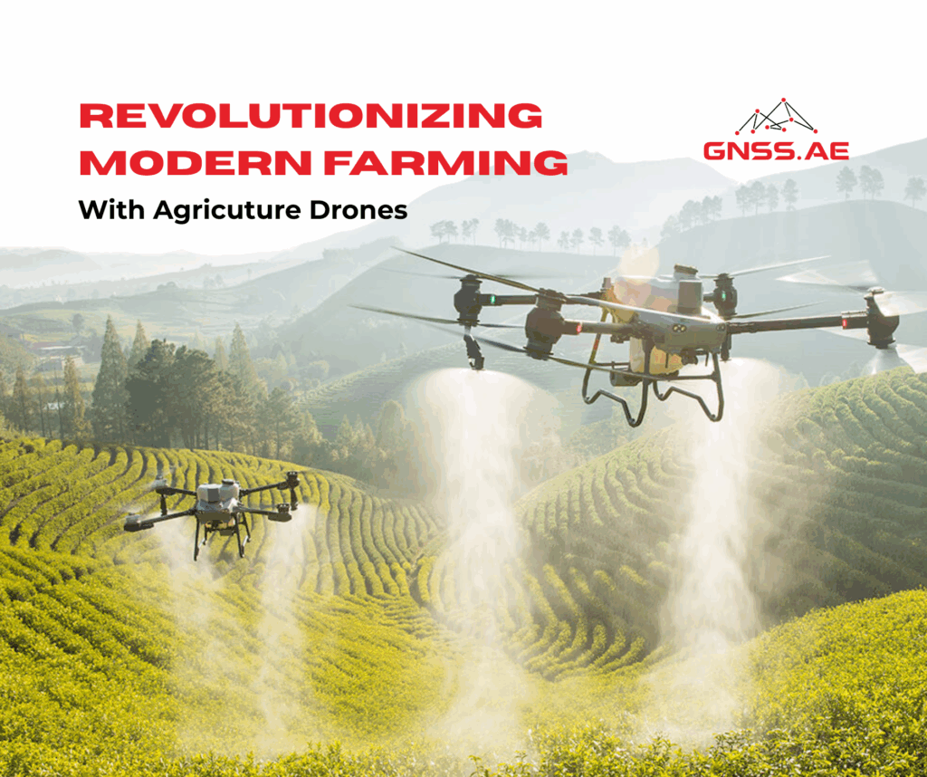
The agricultural sector is undergoing a technological revolution, with drones emerging as a game-changer in efficiency and sustainability. From precision
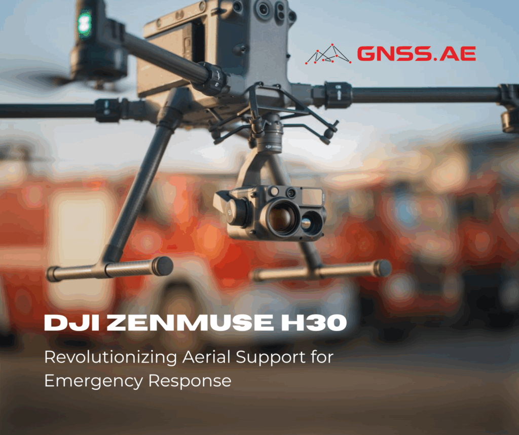
In recent years, drones have increasingly become indispensable tools for public safety operations, enhancing the way emergency teams respond to

The capabilities of modern electronic total stations can be described as virtually limitless — from high-precision measurements to wireless data

DJI has introduced a refreshed version of its trusted enterprise drone controller with the release of the DJI RC Plus
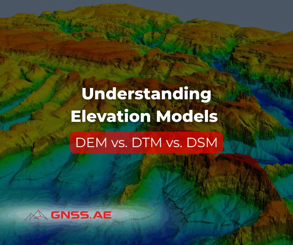
In today’s era of digital infrastructure and precision mapping, elevation data plays a crucial role in shaping how engineers, urban
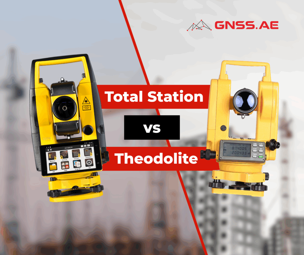
When choosing a surveying instrument, professionals often compare the total station and the theodolite. While they may appear similar at
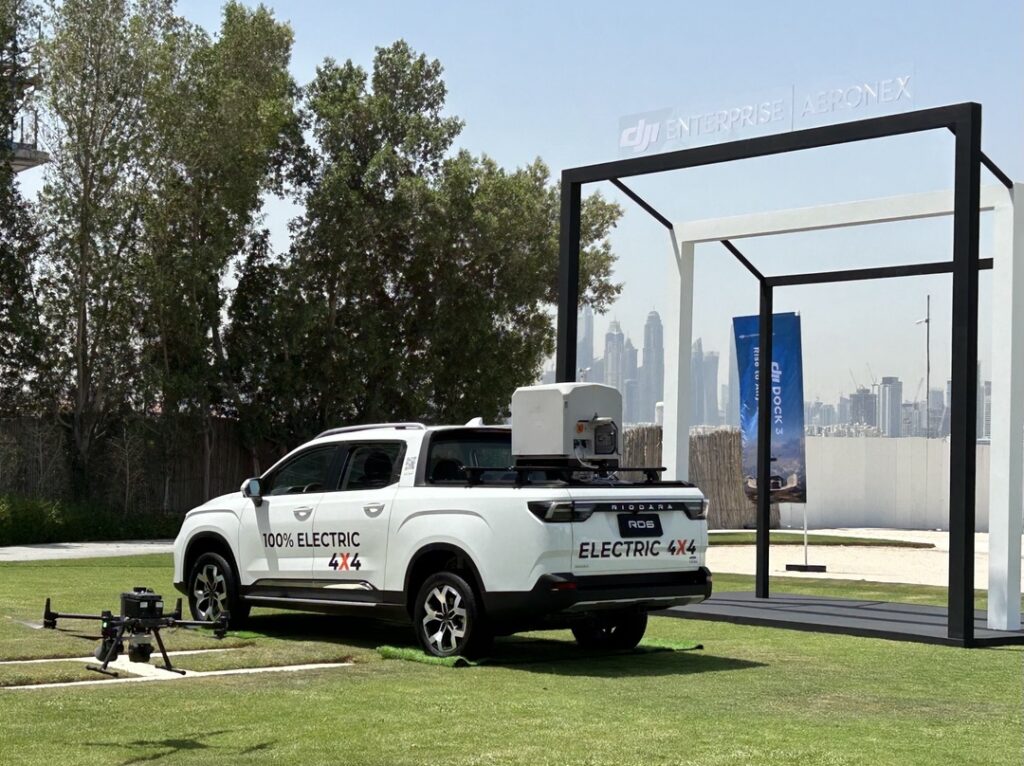
On May 16, DJI Enterprise | Aeronex showcased the next evolution in drone technology with a presentation of the DJI
في عصرنا الحالي، تعتمد جميع القطاعات الصناعية تقريبًا (مثل قطاع الطاقة ومرافقها، والتعدين، والنفط والغاز، والتصنيع، والنقل، والاتصالات) على مصادر
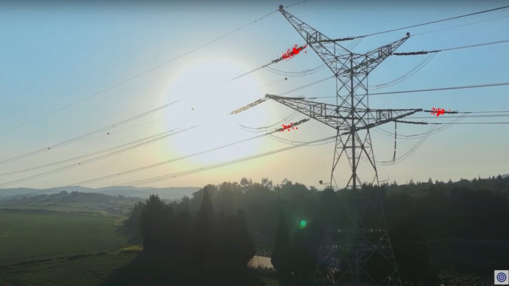
By: Dr. Amin Kamal Abd Elraheem (Ph.D., Training Manager) آفاق جديدة لفحص البنية التحتية لشبكات الكهرباء تُستخدم الطائرات بدون طيار
In this day and age, almost all of the industry sectors (e.g. power & utilities, mining, oil & gas, manufacturing,

Honoring innovation and excellence in public safety Held from May 13-15 at the Dubai World Trade Centre, the World Police

Photogrammetry: Bringing Images to Life As the Middle East pushes the boundaries of innovation, from smart cities and agricultural megaprojects

In modern geodesy and GNSS surveying, there are no small details. Every second, every millimeter, every step matters. That is
By: Dr. Amin Kamal Abd Elraheem (Ph.D., Training Manager) New heights for grids infrastructure inspection Unmanned Aerial Vehicles (UAVs), or

SLAM (Simultaneous Localization and Mapping) is a cutting-edge technology that enables devices to simultaneously build a map of an unknown

This article summarizes the findings from the study “Comprehensive Performance Evaluation between Visual SLAM and LiDAR SLAM for Mobile Robots:

Discover the INNO8 GNSS Receiver: SOUTH’s latest 2024 innovation sets new standards in surveying and mapping. Featuring advanced photogrammetry, augmented

Sniffer4D: Revolutionizing Air Monitoring with Cutting-Edge Drone Technology Introduction In recent years, drones have rapidly transformed from niche technology into
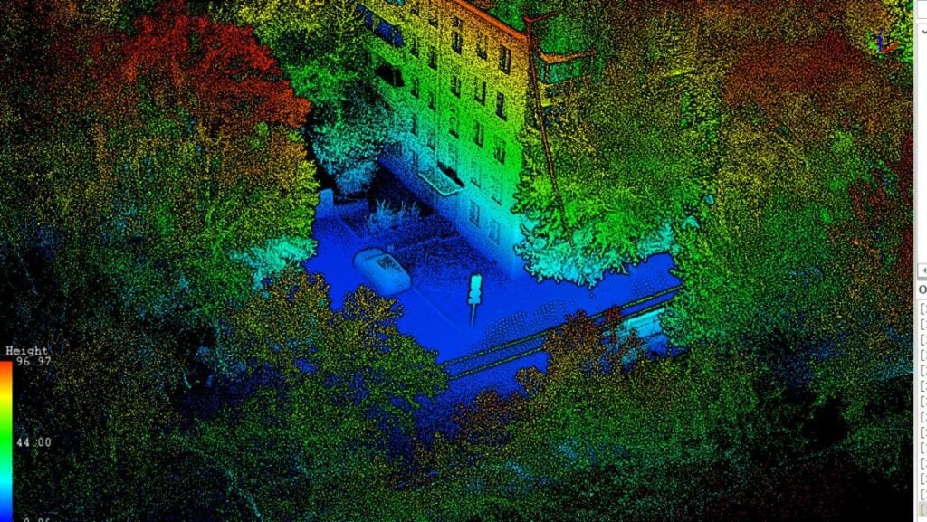
In the era of digital transformation and the development of innovative technologies, mobile laser scanning is emerging as a crucial