Monitoring forests at regional scale involves far more than capturing aerial imagery. Survey teams often need to inspect thousands of square kilometers within limited timeframes, work in remote locations with little or no infrastructure, and produce data detailed enough to reveal disease outbreaks, storm damage, illegal logging, or the effects of wildfires.
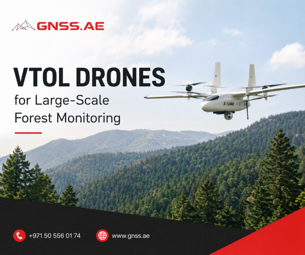
VTOL fixed-wing drones are particularly well suited to these challenges. By combining vertical takeoff and landing with the endurance and efficiency of conventional fixed-wing aircraft, they can cover extensive forested areas while operating from small clearings, forest roads, or other confined sites where traditional aircraft cannot.
Forest monitoring combines several logistical and technical challenges that can quickly make large projects difficult to manage.
Multirotor and conventional fixed-wing drones both play important roles in aerial surveying, but each has trade-offs when used for large forest mapping projects.
Multirotor platforms are easy to deploy and can hover over specific areas, making them useful for inspections and small survey sites. Their limited flight endurance, however, makes covering thousands of square kilometers inefficient.
Conventional fixed-wing drones offer much longer flight times and higher survey efficiency, but they typically require dedicated launch and recovery infrastructure that is difficult to deploy in forested environments.
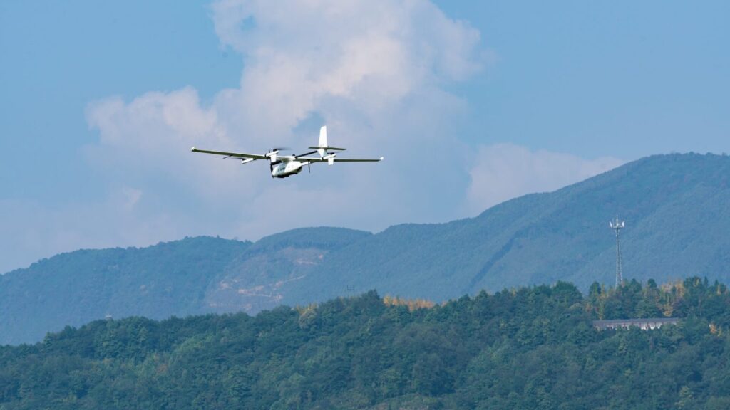
VTOL (Vertical Take-Off and Landing) fixed-wing drones bridge this gap. They combine the operational flexibility of multirotors with the range and endurance of fixed-wing aircraft, allowing survey teams to efficiently map large forest areas without relying on runways or other launch equipment.
Feature | Multirotor UAV | Fixed-Wing UAV | VTOL Fixed-Wing UAV |
Takeoff and landing | Vertical | Requires a runway or launcher | Vertical |
Flight endurance | 30–60 min | 2–6+ hours | 2–6+ hours |
Area covered per flight | Tens to hundreds of hectares | Thousands of hectares | Thousands of hectares |
Operation in confined areas | Excellent | Limited | Excellent |
Energy efficiency | Moderate | High | High |
For large-scale forest surveys, VTOL platforms provide several operational advantages.
Because they do not depend on dedicated launch or recovery infrastructure, survey crews can operate much closer to the target area. This reduces travel time and allows more productive flying hours during each field day.
For RGB-based forest mapping, JOUAV VTOL platforms can be equipped with several high-resolution aerial cameras, including:
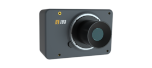
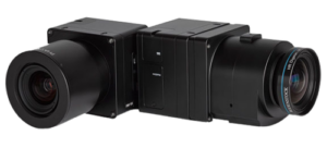
With a ground sample distance (GSD) of 5–10 cm, RGB imagery can often reveal individual tree crowns and visible signs of damage or disease.
Multispectral sensors capture reflected light beyond the visible spectrum, allowing operators to assess vegetation health before damage becomes apparent in RGB imagery.
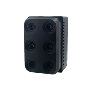
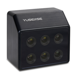
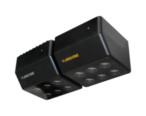
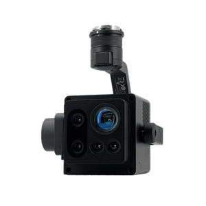
LiDAR sensors actively measure distance using laser pulses, making them particularly valuable for forest monitoring where terrain and vegetation structure need to be mapped beneath the canopy.
For JOUAV VTOL platforms, the JOUAV JoLiDAR-1000 provides a long-range aerial LiDAR solution with a scanning range of up to 1,000 m, up to seven returns, and a pulse rate of up to 1.5 MHz. The system also integrates a 26 MP RGB camera for generating true-colour point clouds.
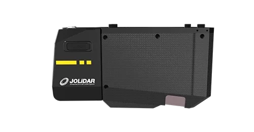
In forest monitoring, the JoLiDAR-1000 can be used to map terrain beneath the canopy, measure canopy height, analyse forest structure, and support biomass estimation.
Thermal cameras detect differences in surface temperature that may not be visible in standard RGB imagery. For forest monitoring, they can complement conventional aerial surveys by identifying wildfire hotspots, assessing post-fire areas, detecting thermal anomalies, and supporting night-time operations.
Thermal payload options include the DJI Zenmuse H30T, DJI Zenmuse H20T, and DJI Zenmuse H20N. These systems combine thermal imaging with visible-light cameras and other sensors, providing additional information for inspection and situational awareness.
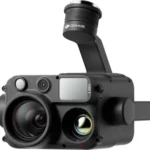
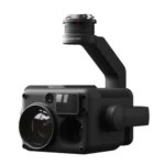
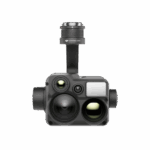
For forest applications, thermal imagery is particularly useful when temperature differences provide information that cannot be obtained from RGB or multispectral imagery alone.
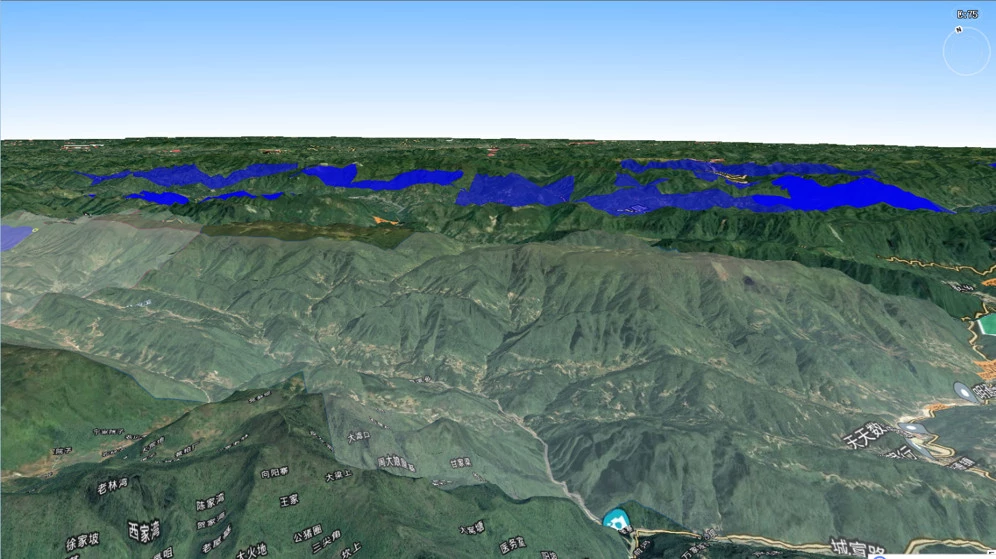
One of the largest documented examples of VTOL-based forest monitoring took place in the Qinba Mountains of Chongqing, China. The objective was to survey approximately 13,000 km² of mountainous forest and identify areas affected by pine wood nematode disease.
The scale of the operation presented significant logistical challenges. The region combines steep slopes, elevations ranging from 300 to 1,000 meters, limited road access, and weather conditions that can change within hours. Covering an area of this size with conventional ground surveys would have taken years.
Challenge: Mapping Complex Mountain Terrain
Two factors had the greatest impact on flight operations.
To address these challenges, the survey teams used JOUAV’s CW Series VTOL fixed-wing drones. Their ability to take off and land vertically eliminated the need for dedicated launch infrastructure while still providing the endurance needed for large-area mapping.
Deployment Strategy
Rather than operating from a single base, the survey was distributed across five counties:
More than ten JOUAV CW Series VTOL drones were assigned to multiple mobile teams working simultaneously throughout the region. Launch sites were selected close to each survey block, minimizing travel time between missions.
This decentralized approach also improved operational flexibility. If poor weather affected one part of the mountains, teams in other counties could often continue flying without interruption.
Results
Over the course of the campaign, the teams completed:
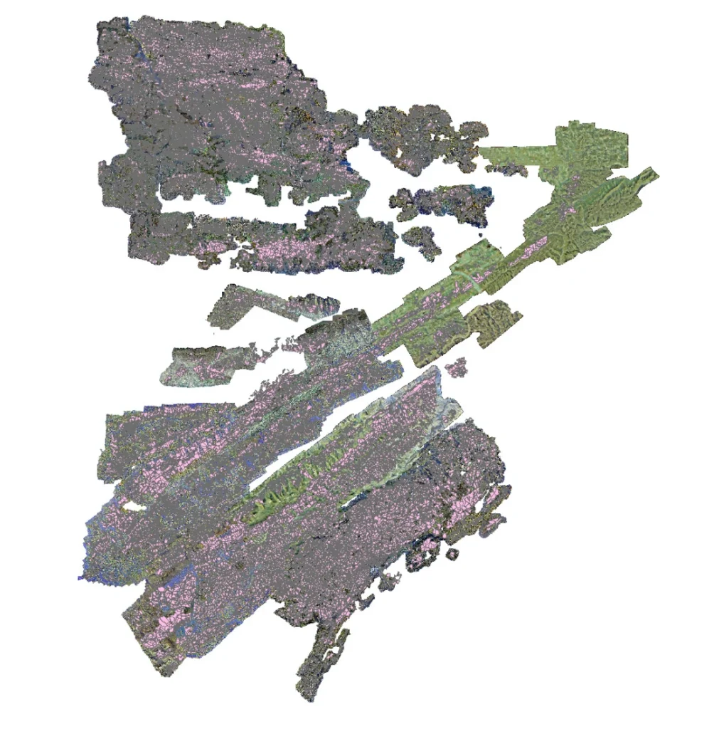
The resulting imagery was processed into high-resolution orthomosaics that enabled forestry specialists to identify infected tree clusters and generate accurate GPS coordinates for follow-up field inspections.
Successful forest mapping depends not only on the aircraft but also on a consistent survey workflow. Careful mission planning, standardized data collection, and efficient processing help ensure that the final dataset is accurate and suitable for long-term analysis.
Flight parameters should reflect the objectives of the project rather than following the same settings for every mission.
Consider the following factors:
Large forest surveys often span several weeks and involve multiple aircraft and field teams. Standardized operating procedures make it much easier to merge all collected data into a single, consistent dataset.
Recommended practices include:
Drone imagery can quickly identify areas that require attention, but it does not eliminate the need for field verification. Suspected disease outbreaks, pest infestations, or other anomalies should be confirmed on the ground before management decisions are made.
Using drones to narrow down inspection areas allows field crews to focus on locations that are most likely to require action, making surveys faster and more efficient.
Large-scale mapping campaigns generate thousands of images. Processing them only after every flight has been completed can delay analysis and slow decision-making.
A more efficient approach is to:
Forest monitoring is rarely a one-time activity. Repeating surveys with the same flight routes, sensors, and processing methods makes it easier to compare datasets collected over months or years and identify meaningful changes.
A standardized workflow also improves data consistency and simplifies long-term trend analysis.
Monitoring forests that cover thousands of square kilometers requires tools that can combine wide-area coverage with reliable, high-quality data collection. VTOL fixed-wing drones meet these requirements by offering long flight endurance, flexible deployment, and support for a wide range of imaging sensors.
Their greatest advantage extends beyond operational efficiency. When integrated into a consistent monitoring program, VTOL drones allow forestry organizations to track changes over time, target field inspections more effectively, and base management decisions on up-to-date spatial data.
As climate change, invasive pests, wildfires, and human activity continue to reshape forest ecosystems, regular aerial surveys are becoming increasingly important. VTOL platforms provide a practical way to collect that information at regional scale and support more informed, data-driven forest management.
https://www.jouav.com/case-study/map-13000km2-forest-60-days.html
VTOL drones combine the vertical takeoff and landing capability of multirotors with the long endurance of fixed-wing aircraft. This allows them to operate in remote forest areas while covering much larger territories than traditional multirotor UAVs.
Coverage depends on the drone model, flight altitude, sensor resolution, and mission requirements. Professional VTOL fixed-wing drones can typically cover hundreds to thousands of hectares in a single flight.
Forest monitoring commonly uses RGB cameras, multispectral sensors, LiDAR scanners, and thermal cameras. The choice depends on whether the goal is mapping, vegetation analysis, canopy measurement, wildfire assessment, or disease detection.
Yes. VTOL drones are particularly effective in mountainous environments because they do not require runways and can launch from small clearings, ridges, or other limited spaces. Their longer endurance also helps cover areas with difficult ground access.
By combining high-resolution RGB imagery with multispectral or thermal data, VTOL drones can identify vegetation stress, unusual canopy patterns, and affected areas before problems become visible during ground inspections. This allows forestry teams to investigate and respond more quickly.