BIM models describe how a project is supposed to be built. Construction shows how it is actually built.
The difference appears early and grows over time — through design changes, installation tolerances, and field decisions made on site.
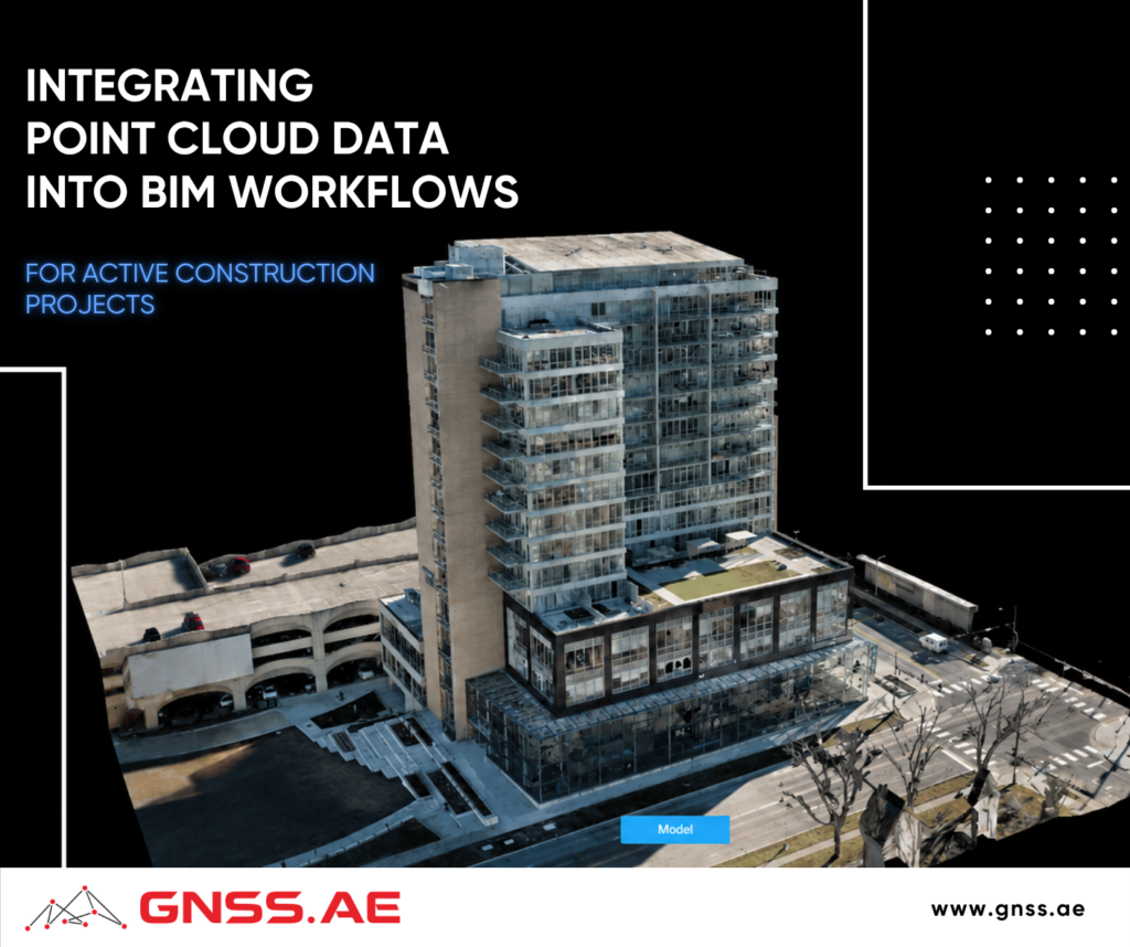
Point cloud data captures that reality. When integrated into BIM workflows, it allows teams to compare design and execution, detect deviations, and keep project information aligned with current site conditions.
This article looks at how that workflow works in practice and which tools are used to support it.
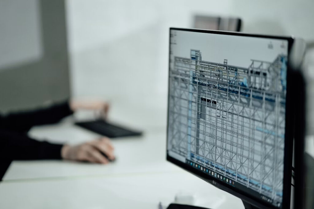
A BIM model represents the intended design, but construction rarely follows that design perfectly. Utility routes may be adjusted, structural elements can shift within acceptable tolerances, and unexpected site conditions often require modifications during installation.
As work progresses, the digital model can gradually drift away from the physical project. When that happens, coordination between trades becomes more difficult, installation conflicts are harder to identify, and discrepancies may remain unnoticed until they result in costly rework.
Reality capture provides an efficient way to verify site conditions at every stage of construction. Rather than relying solely on drawings or manual measurements, teams can compare point cloud data with the BIM model to identify potential issues before subsequent work begins.
Regular scans also create a detailed visual record of the project. Whether captured weekly or at key construction milestones, they support quality assurance, document progress, and contribute to accurate as-built records throughout the project lifecycle.
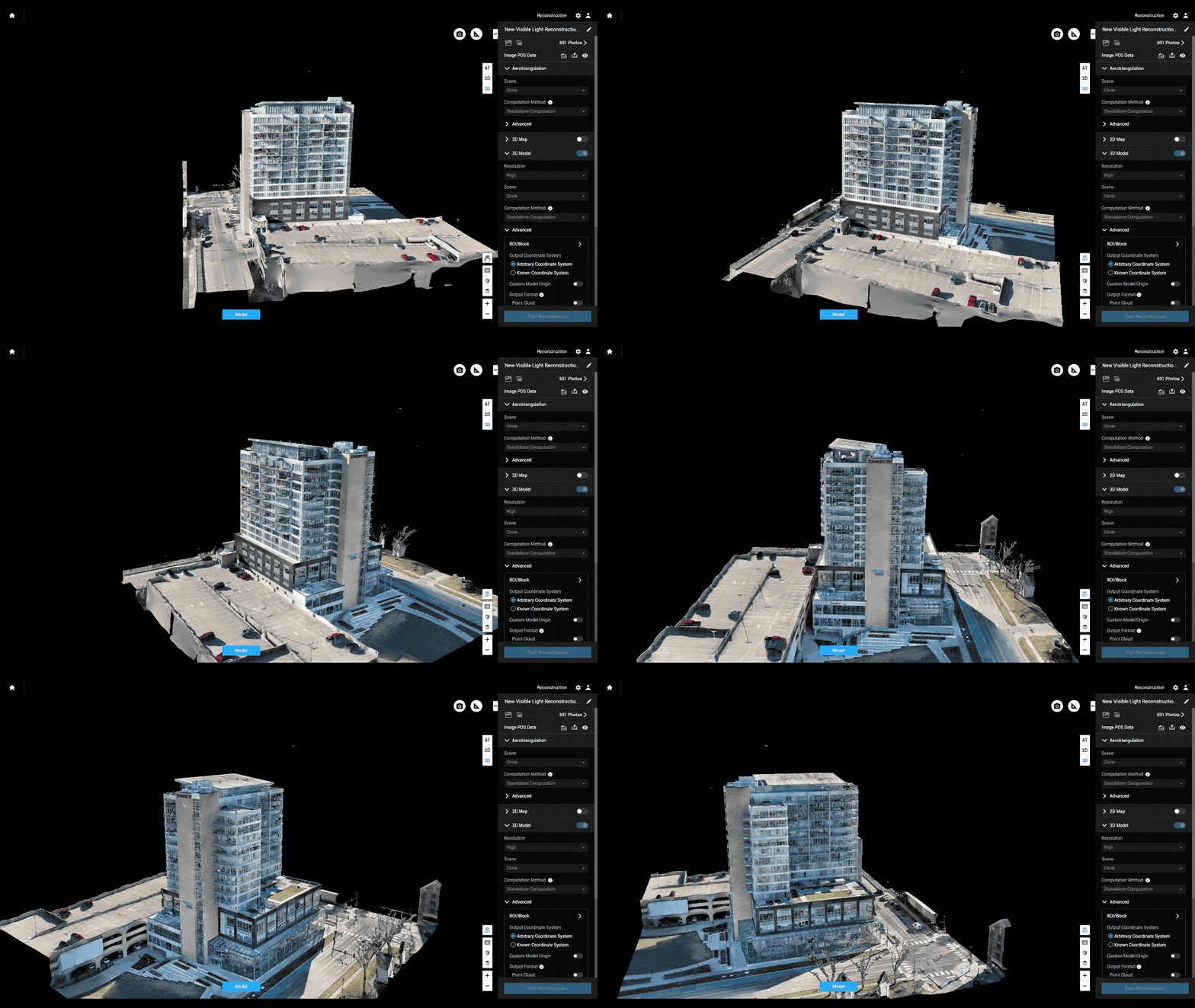
Point Cloud to BIM, often referred to as Scan-to-BIM, is the process of using reality capture data to create, verify, or update a Building Information Model.
A point cloud consists of millions of three-dimensional points that represent the geometry of a scanned environment. It can be generated using terrestrial laser scanners, drone-based LiDAR systems, photogrammetry, or mobile mapping platforms.
On active construction projects, Scan-to-BIM rarely involves creating an entirely new BIM model. In most cases, a design model already exists. The point cloud is aligned with that model to verify completed work, identify deviations, and document as-built conditions.
When differences are detected, project teams can either correct the work in the field or update the BIM model to reflect approved design changes. This keeps the digital model synchronized with the actual state of the project.
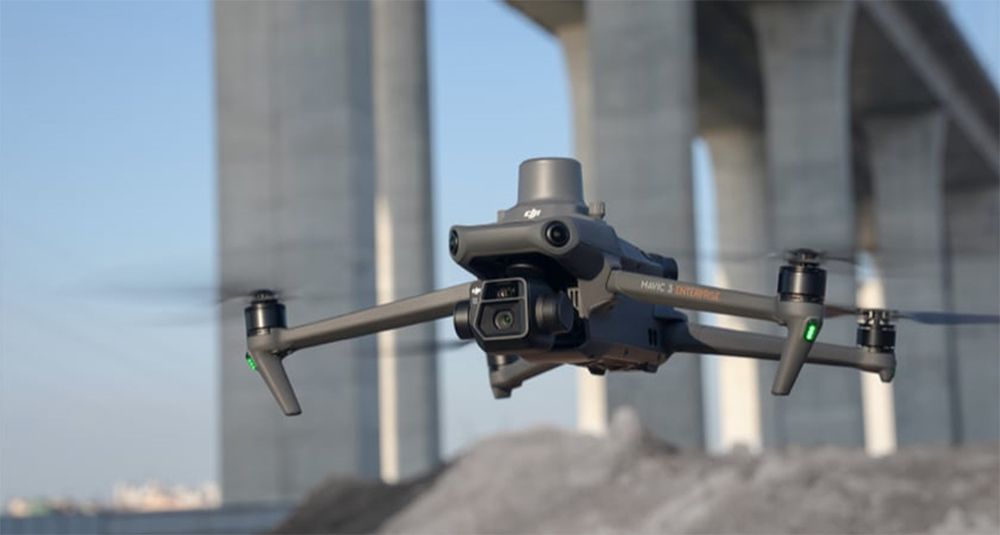
Point cloud data can be captured using several reality capture technologies, each suited to different stages and environments of a construction project.
Terrestrial laser scanners produce dense, highly accurate point clouds and are commonly used for interiors, structural verification, and MEP coordination.
Drone-based photogrammetry offers a fast way to document large construction sites. Modern software converts overlapping aerial images into georeferenced point clouds, orthomosaics, and 3D models.
Drone LiDAR combines wide-area coverage with the ability to capture complex surfaces and areas with limited texture or vegetation.
Many projects also use 360° cameras and mobile mapping systems to document walkable areas and interior spaces.
Turning point cloud data into useful BIM information involves more than simply importing a scan into a modeling platform. The workflow typically consists of several steps, from data capture to engineering analysis.
Reality capture begins with collecting data using drones, laser scanners, or other surveying systems. The choice of equipment depends on the project size, required accuracy, and the type of assets being documented.
The captured images or LiDAR data are processed into a georeferenced point cloud using software such as PIX4Dmatic or Bentley iTwin Capture Modeler.
The point cloud is then cleaned, classified, and converted into engineering-ready information. In PIX4Dsurvey, for example, surveyors can extract terrain models, breaklines, contour lines, and other features for CAD or BIM workflows.
The processed point cloud is aligned with the project’s BIM model. Engineers compare the as-built conditions with the design model to verify installation accuracy, identify deviations, and detect potential clashes before construction progresses further.
Based on the comparison, teams either correct the work on site or update the BIM model to reflect approved changes. The same datasets also provide a reliable record of construction progress and support future as-built documentation.
Once the point cloud has been processed, it can be aligned with the project’s BIM model.
There are several ways to perform this comparison:
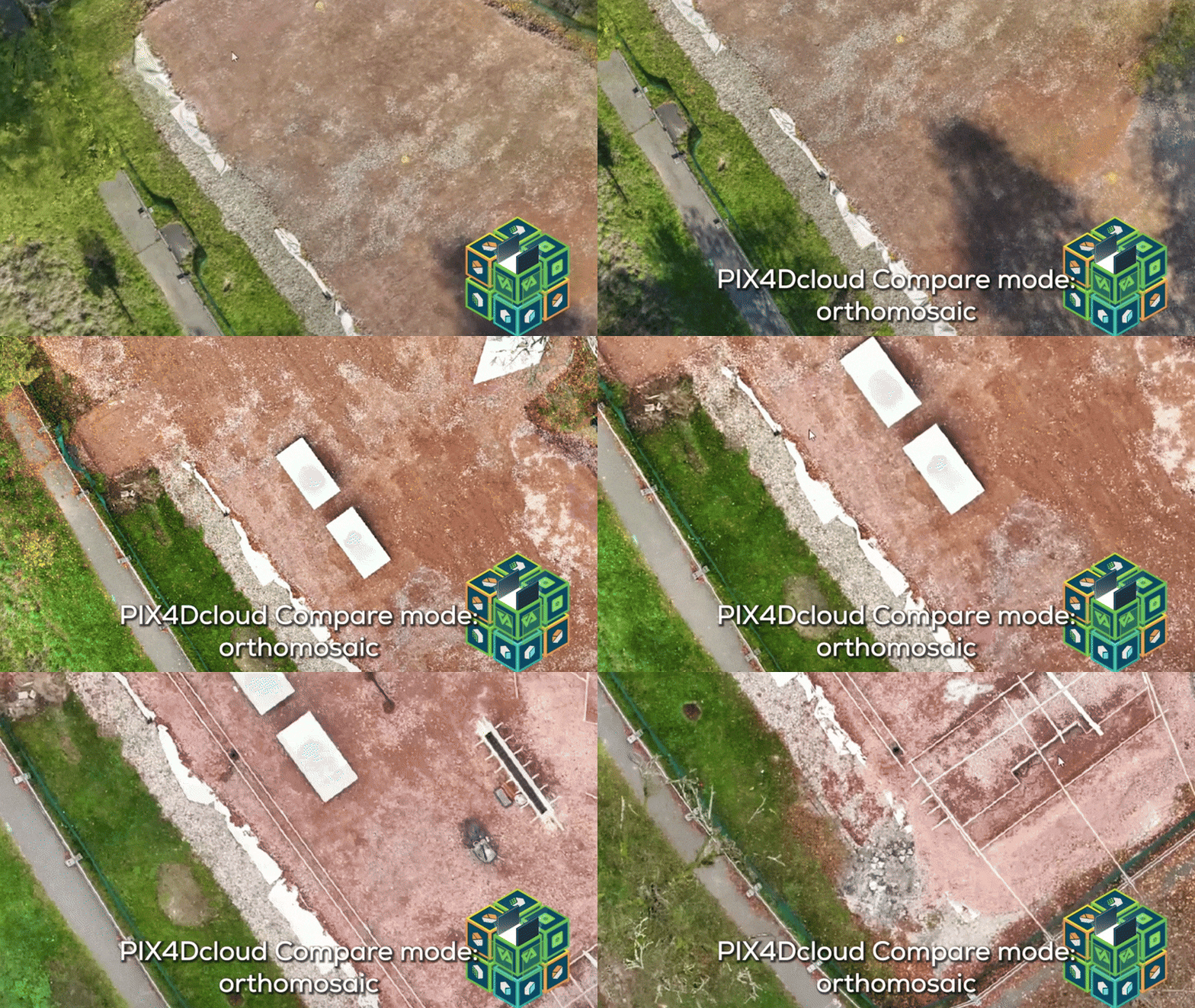
Point cloud data supports different tasks throughout the construction lifecycle. While the workflow remains the same, the information extracted from the data changes depending on the project stage.
Construction phase | Typical applications |
Earthworks | Verify cut and fill volumes, monitor grading progress, compare terrain against design surfaces. |
Foundations & Underground Utilities | Document underground infrastructure before backfilling and verify the location of sleeves, pipes, and penetrations. |
Structural Steel & Concrete | Check column positions, beam elevations, embed locations, and structural alignment before the next construction phase. |
MEP Installation | Compare installed mechanical, electrical, and plumbing systems with coordination models to detect clashes before walls are closed. |
Finishes & Closeout | Create accurate as-built documentation for project handover and future facility management. |
Regular reality capture also provides a visual timeline of the project, making it easier to monitor progress and verify completed work throughout construction.
The quality of a BIM verification workflow depends on the accuracy of the captured point cloud. Selecting the right equipment and survey methodology is essential, especially for projects with strict tolerance requirements.
Several factors influence the final accuracy:
For example, earthworks and site grading can often be verified within a few centimeters, while structural steel installation or MEP coordination may require centimeter-level or even sub-centimeter accuracy
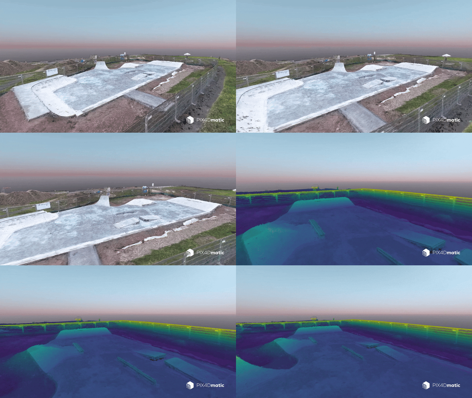
The construction of the world’s first carbon concrete skatepark in Roßwein, Germany, required continuous geospatial documentation throughout the project. Because the skatepark’s complex geometry evolved during construction, traditional surveying methods alone were not sufficient to keep engineering data up to date.
Working with drone photogrammetry, the project team carried out regular UAV surveys using a DJI Mavic 3 Enterprise, supported by Leica and Emlid GNSS equipment for accurate georeferencing. Imagery was processed in PIX4Dmatic to generate dense point clouds, while PIX4Dsurvey was used to extract CAD-ready terrain features such as breaklines and contour lines. Project progress and as-built conditions were then reviewed in PIX4Dcloud.
The workflow enabled weekly site updates with approximately 1–2 cm horizontal accuracy under controlled survey conditions. Engineering teams could compare as-built conditions against the design, generate CAD deliverables directly from point cloud data, and reduce the amount of field verification required throughout construction.
The project illustrates how an integrated drone surveying workflow can support continuous construction monitoring while keeping engineering models aligned with rapidly changing site conditions.
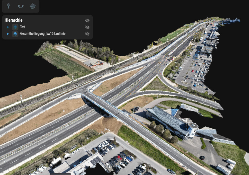
The expansion of Germany’s B29 highway demonstrates how continuous reality capture can support large-scale infrastructure construction. Unlike smaller projects, the primary challenge was managing and processing vast amounts of data collected from multiple sources throughout the construction lifecycle.
The project combined UAV imagery, mobile mapping systems, and ground-based laser scanning to capture the highway corridor from different perspectives. Reality capture data was processed in Bentley iTwin Capture Modeler, integrated in Orbit 3DM, and incorporated into the iTwin platform to maintain a continuously updated digital twin of the project.
This unified environment enabled project teams to track construction progress, compare conditions over time, and coordinate work using a consistent spatial dataset rather than isolated survey campaigns.
According to Bentley, the workflow reduced reality capture processing time by up to 60% and improved overall project delivery efficiency by approximately 20%, while also reducing manual effort required for data alignment and processing. The project demonstrates how multi-source reality capture can scale to long infrastructure corridors and support continuous digital twin updates throughout construction.
Reality capture has become an essential part of modern BIM workflows. By combining point cloud data with existing design models, construction teams can verify completed work, monitor progress, detect deviations early, and maintain accurate as-built documentation throughout the project.
Platforms such as PIX4Dmatic, PIX4Dsurvey, and Bentley iTwin Capture Modeler make it easier to convert reality capture data into information that engineers can use directly. Whether the data comes from drone photogrammetry, LiDAR, or terrestrial laser scanning, the result is a more reliable representation of actual site conditions.
As BIM and digital twins become standard across the construction industry, continuous reality capture is increasingly becoming part of everyday project delivery. Teams that integrate these workflows can reduce rework, improve coordination, and maintain digital records that remain accurate long after construction is complete.