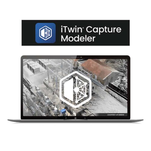
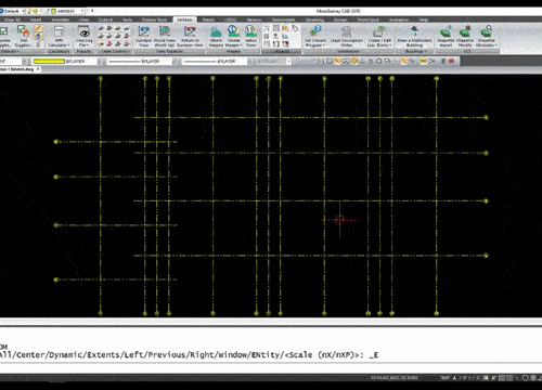
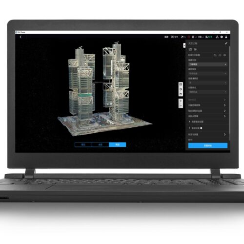
Elevate your drone data processing with GNSS.ae’s PC software. Our advanced solutions offer comprehensive tools for 2D and 3D mapping, drone surveying, LiDAR data processing, orthomosaic creation, and point cloud generation. Designed for precision and efficiency, our software ensures accurate 3D models and seamless workflow integration. Enhance your surveying and mapping projects with GNSS.ae’s innovative tools.
Inquire Now
Read more
Inquire Now
Read more
Inquire Now
Read more
Inquire Now
Read more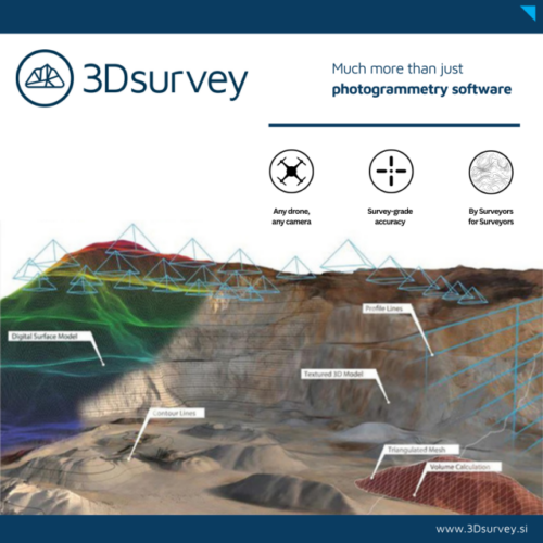
Inquire Now
Read more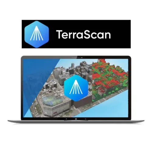
Inquire Now
Read more

Inquire Now
Read more
Inquire Now
Read more
Inquire Now
Read more
Inquire Now
Read more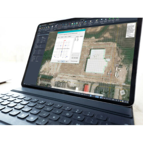
Inquire Now
Read more
Inquire Now
Read more
Inquire Now
Read more
Inquire Now
Read more
Inquire Now
Read more
Inquire Now
Read more
Inquire Now
Read more
Inquire Now
Read more
Inquire Now
Read more
Inquire Now
Read more
Inquire Now
Read more
Inquire Now
Read more