
Understanding GIS Deliverables in Professional UAV Operations
A practical guide for professional drone operations From flying drones to delivering usable geospatial data The commercial UAV market has

A practical guide for professional drone operations From flying drones to delivering usable geospatial data The commercial UAV market has
From its early beginnings as the Global Positioning System (GPS) to today’s advanced multi-constellation GNSS receivers, satellite-based positioning has transformed

In the rapidly evolving field of geospatial technology, selecting the right software solution is critical for project success. In this
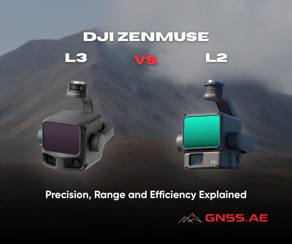
The launch of DJI Zenmuse L3 marks a significant new chapter in DJI’s professional LiDAR payload lineup. Building on the
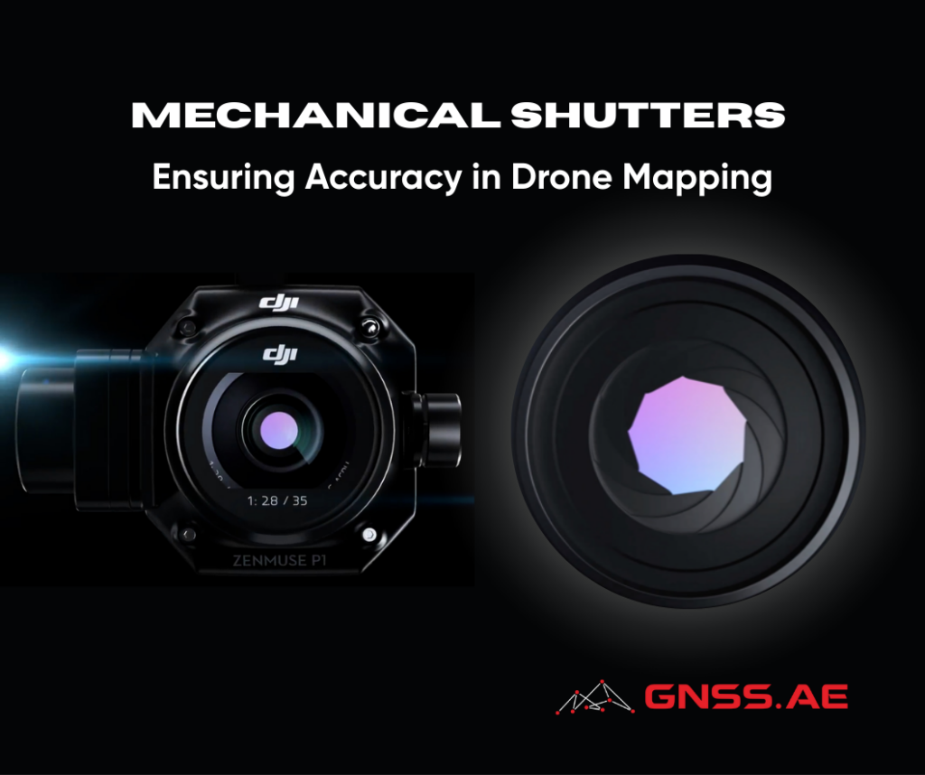
Across multiple industries, drone technology has reshaped how professionals collect data, conduct surveys, and monitor the environment. What once felt
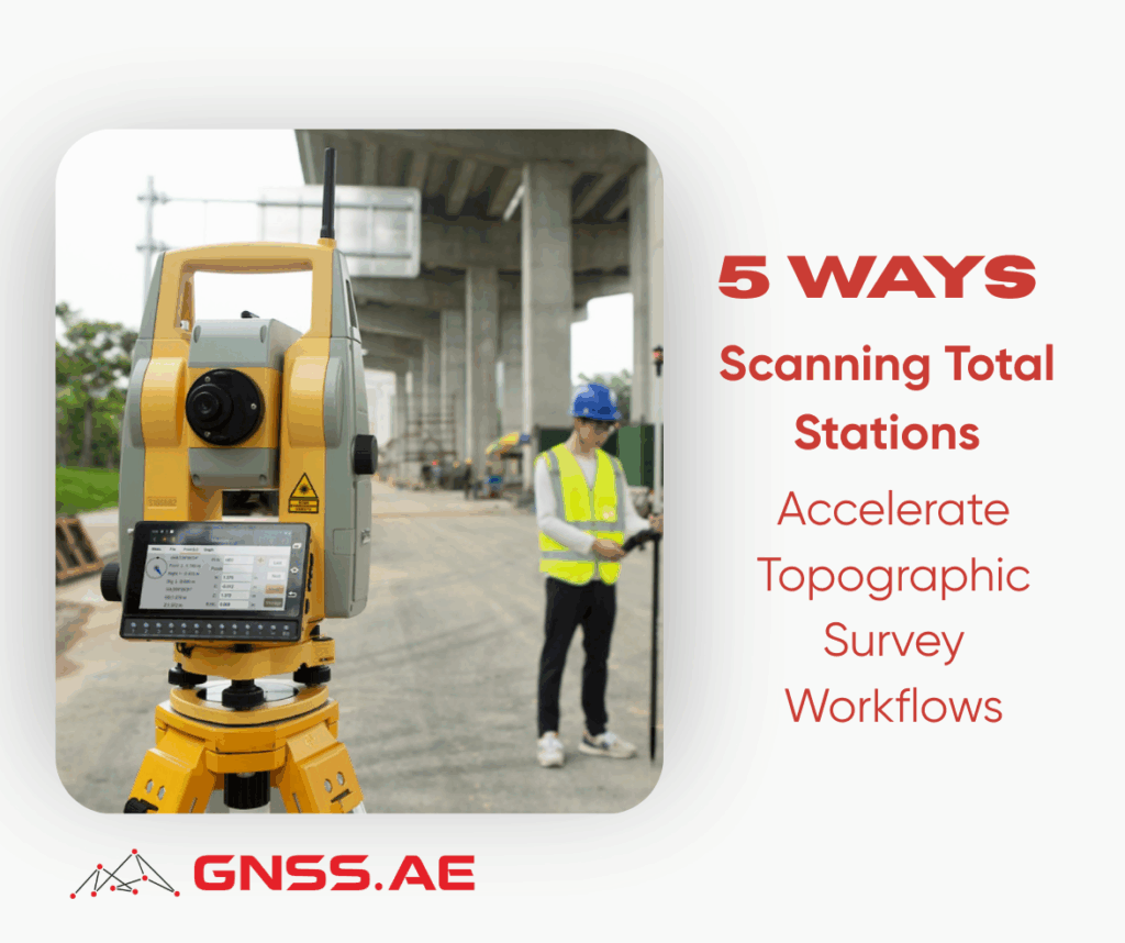
Topographic surveys are essential across commercial real estate, construction, and infrastructure development. These projects demand exceptional precision, full situational awareness,
As modern GIS workflows increasingly depend on centimeter-level accuracy, a solid understanding of geodetics has become essential for professionals working
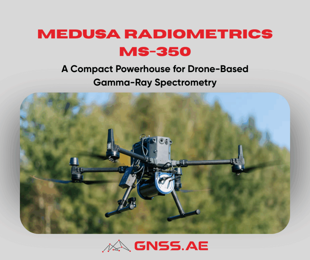
Gamma-ray spectrometry has become an indispensable tool for environmental science, mining, agritech, and contamination assessment. By measuring the energy and

How can cities optimise infrastructure? How do businesses understand customer behaviour through location data? How can governments map and respond

Successful aerial mapping and surveying begin long before the drone leaves the ground. While flying may seem as simple as
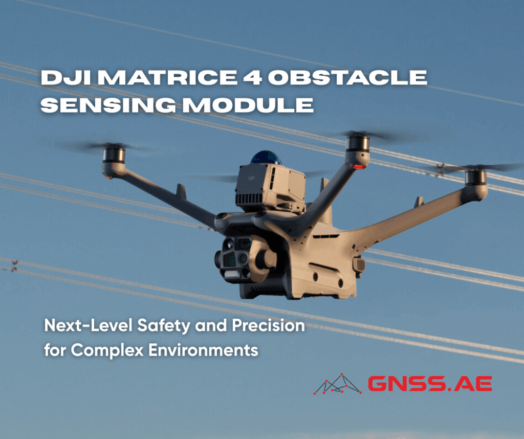
In demanding industrial and inspection scenarios, drone operators face one consistent challenge — ensuring safe and reliable flight in cluttered
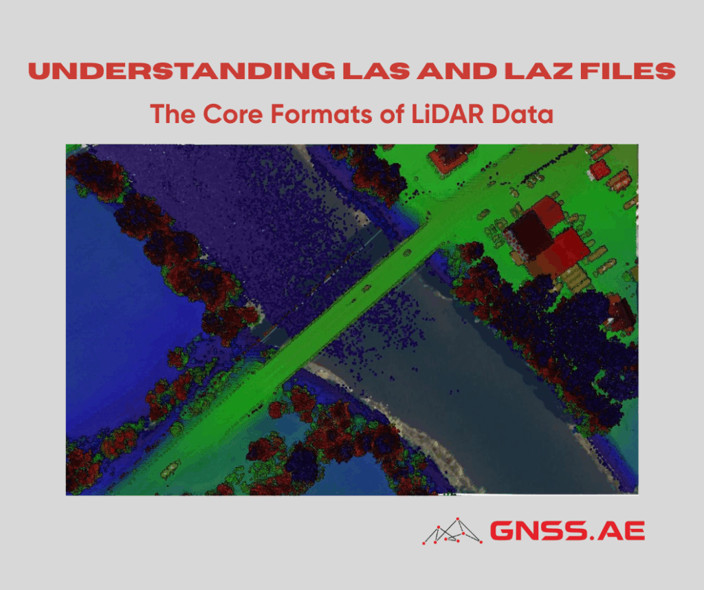
Whether aerial, terrestrial, or underwater — laser scanning technology is becoming an integral part of modern surveying and geospatial workflows.

Global Navigation Satellite Systems (GNSS) play a fundamental role in enabling accurate positioning, navigation, and timing across a wide range
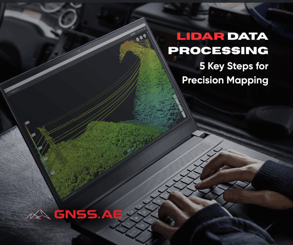
LiDAR (Light Detection and Ranging) has revolutionized the way we map, survey, and analyze spatial data. By capturing millions of
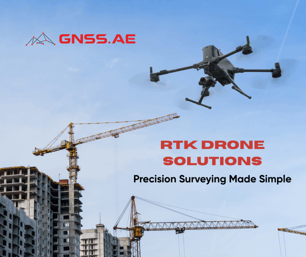
RTK surveying has revolutionized modern construction and infrastructure projects by dramatically improving both efficiency and accuracy. Construction drones equipped with
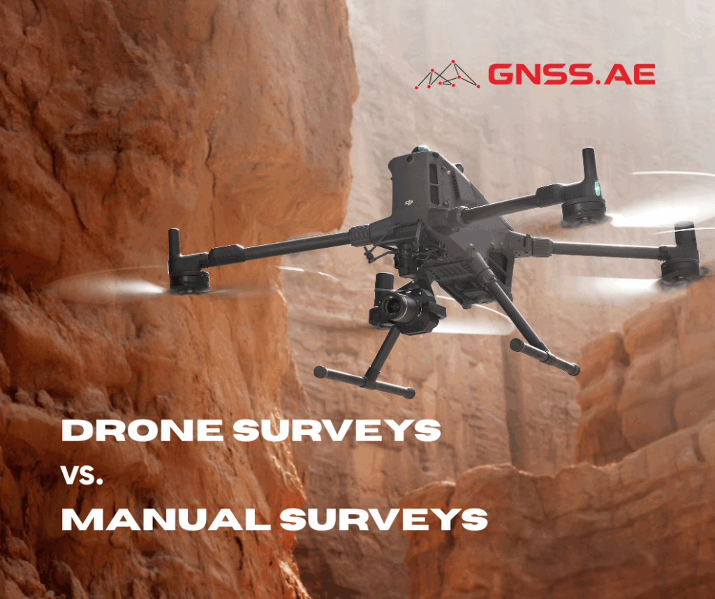
The debate between drone surveys and manual surveys has become increasingly relevant in modern surveying and mapping. As demand for
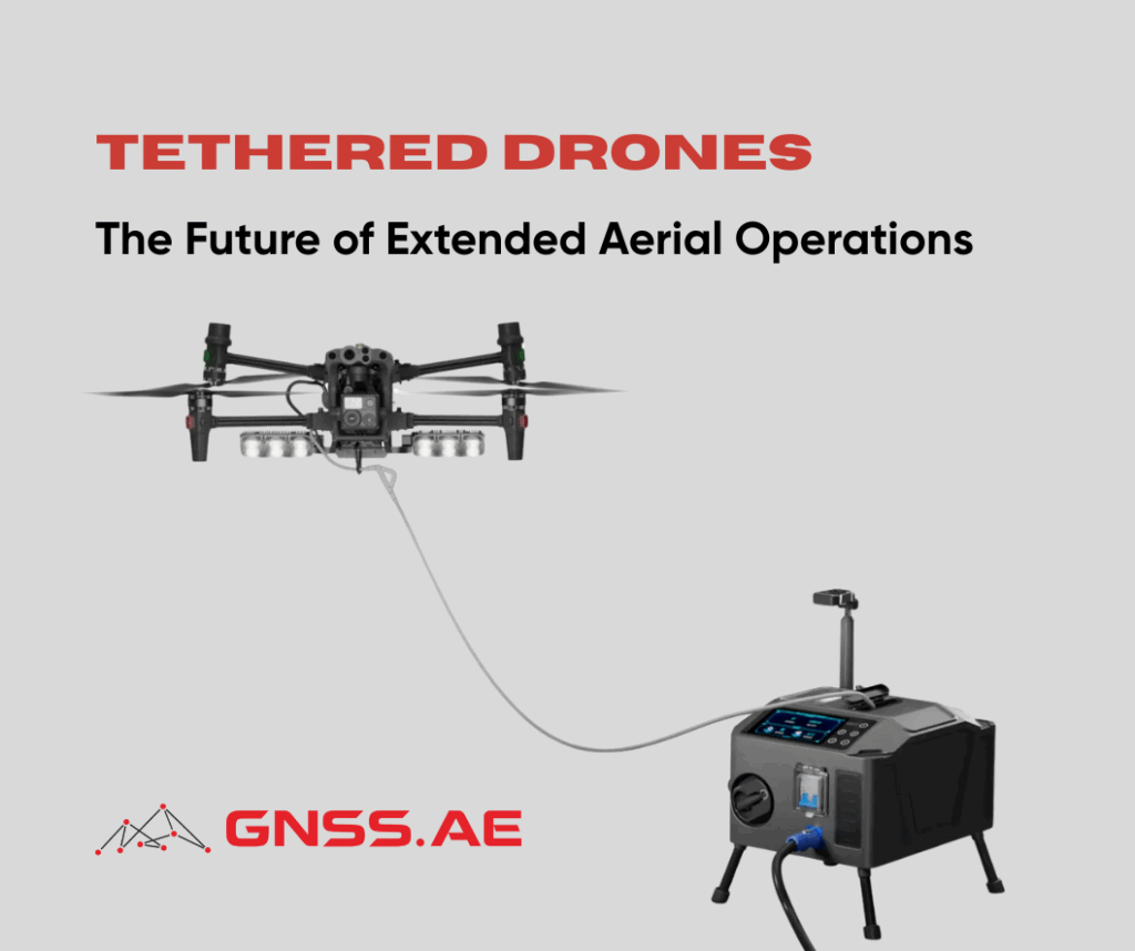
As drone technology continues to evolve, one innovation stands out for its ability to overcome traditional limitations: tethered drone systems.

The commercial drone market in the UAE continues to expand rapidly as businesses across multiple sectors recognize the transformative potential
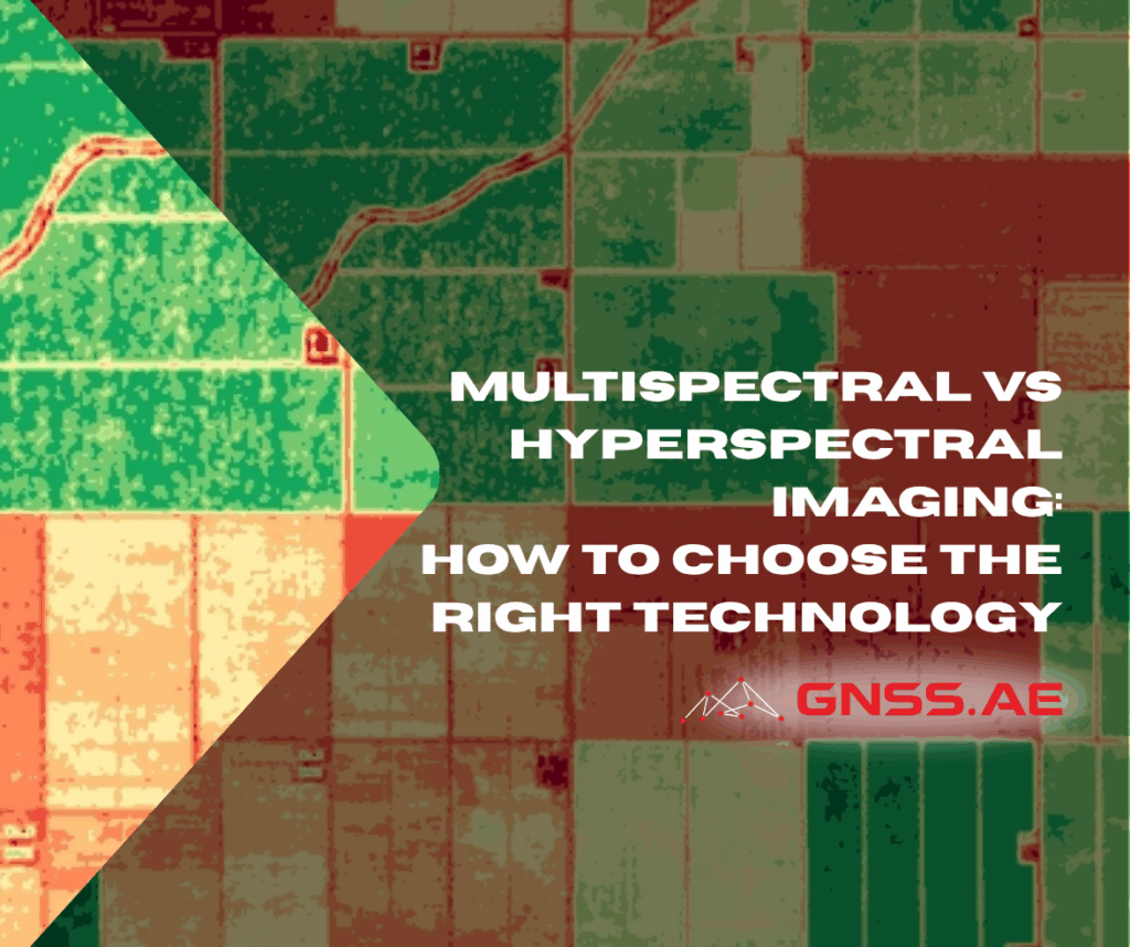
The world of spectral imaging has revolutionized countless industries, from precision agriculture to environmental monitoring. At the heart of this

Industrial environments such as construction zones, oil refineries, and manufacturing plants are inherently hazardous. From structural instability to gas leaks
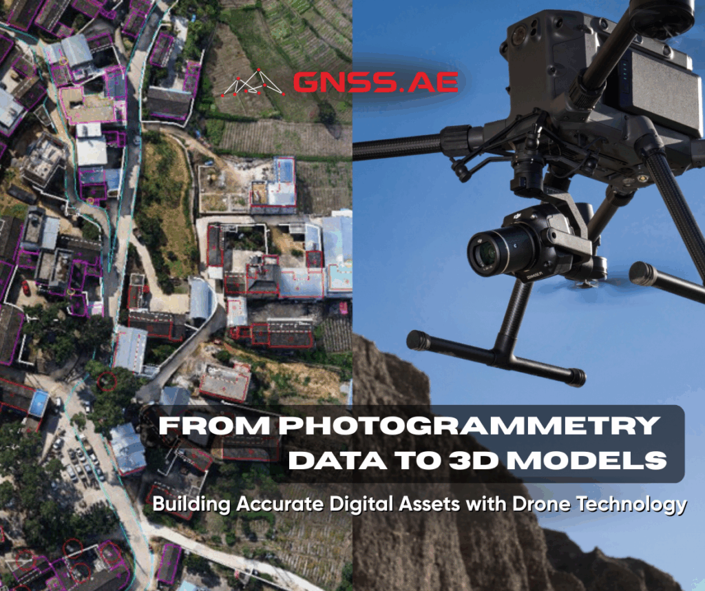
3D models are highly detailed digital assets that provide realistic and accurate representations of their real-world counterparts. When georeferenced, these

As logistics operations expand into remote, mountainous, offshore, or disaster-stricken regions, the demand for powerful and intelligent aerial delivery systems
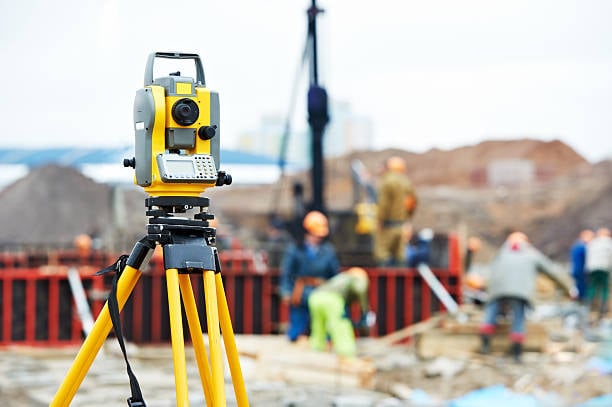
Surveying equipment is designed to minimize human errors and ensure the highest reliability of collected data. In this article, GNSS.AE
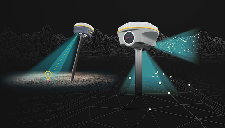
Real-Time Kinematic (RTK) is one of the most advanced technologies in the field of Global Navigation Satellite Systems (GNSS). It
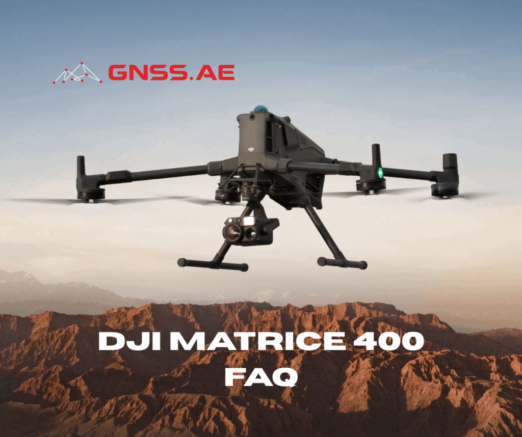
DJI Matrice 400 is emerging as the new standard for enterprise drone operations across industries such as energy, infrastructure, surveying,

Global Navigation Satellite Systems (GNSS) have transformed the field of surveying by enabling professionals to obtain precise coordinates using satellite
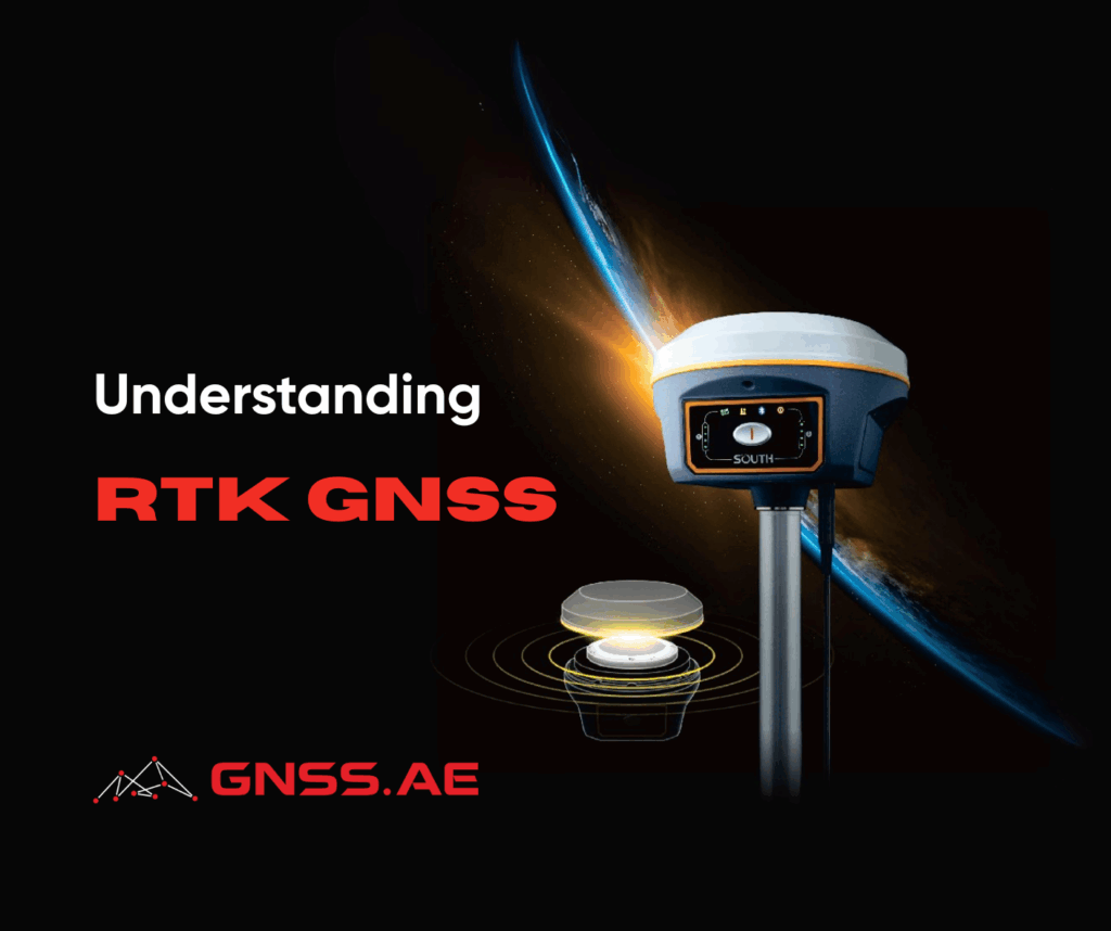
Real-Time Kinematic Global Navigation Satellite System (RTK GNSS) is a high-precision satellite positioning technology that has revolutionized how industries capture
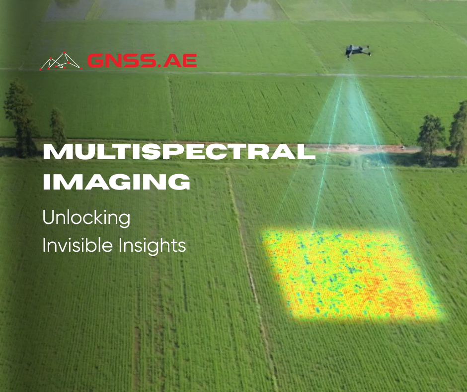
Multispectral imaging (MSI) is a technique for extracting information about objects by analyzing how they interact with electromagnetic radiation across

As drone adoption accelerates across various sectors, the United Arab Emirates remains at the forefront of enforcing comprehensive drone regulations
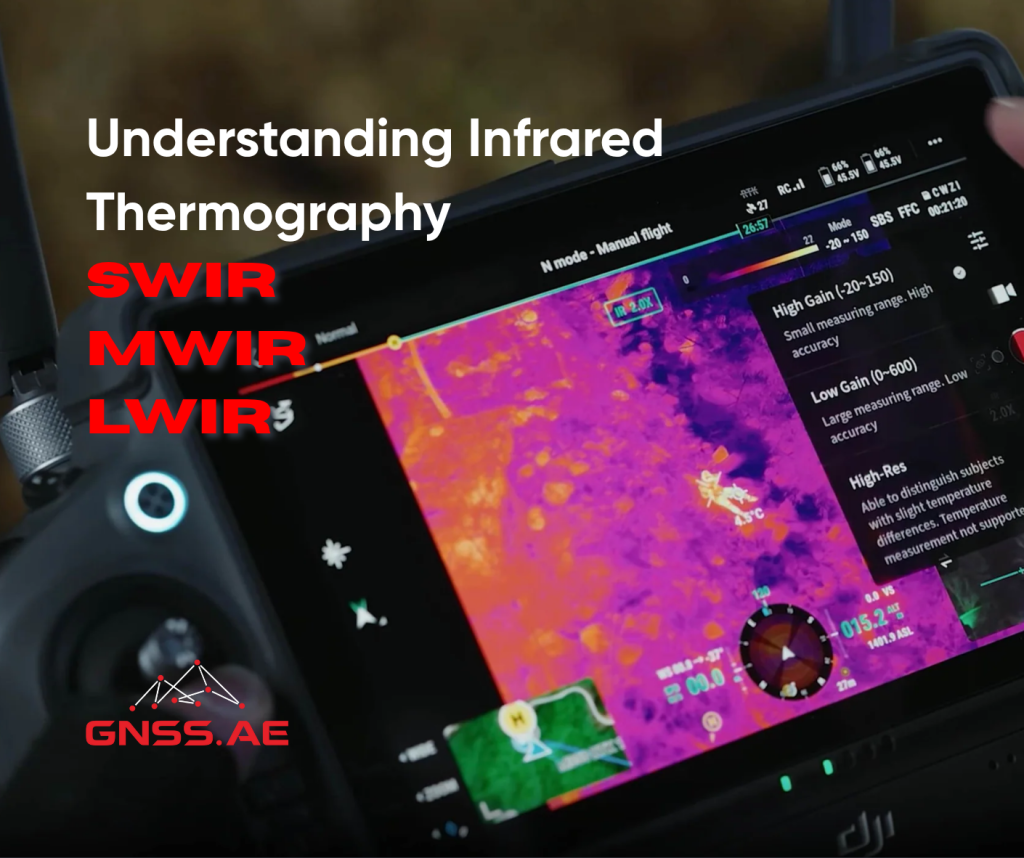
Infrared thermography has transformed a wide range of industries by delivering insight beyond the limits of visible light. It allows

The capabilities of modern electronic total stations can be described as virtually limitless — from high-precision measurements to wireless data
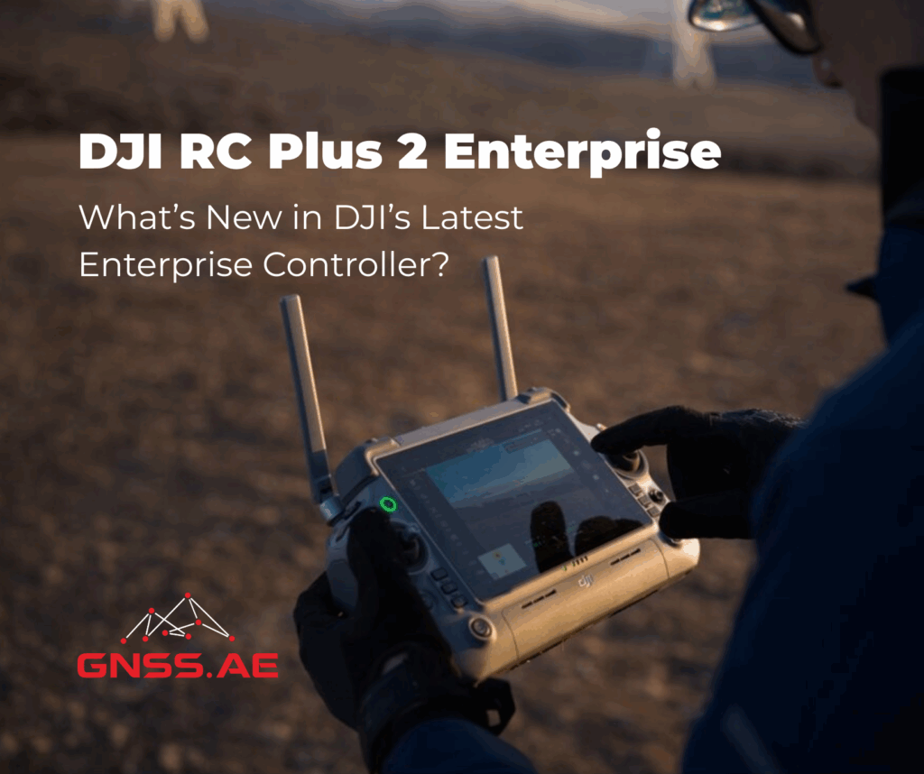
DJI has introduced a refreshed version of its trusted enterprise drone controller with the release of the DJI RC Plus
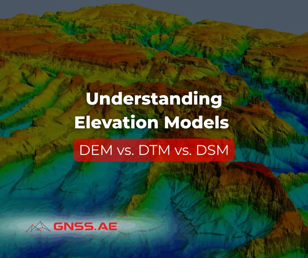
In today’s era of digital infrastructure and precision mapping, elevation data plays a crucial role in shaping how engineers, urban
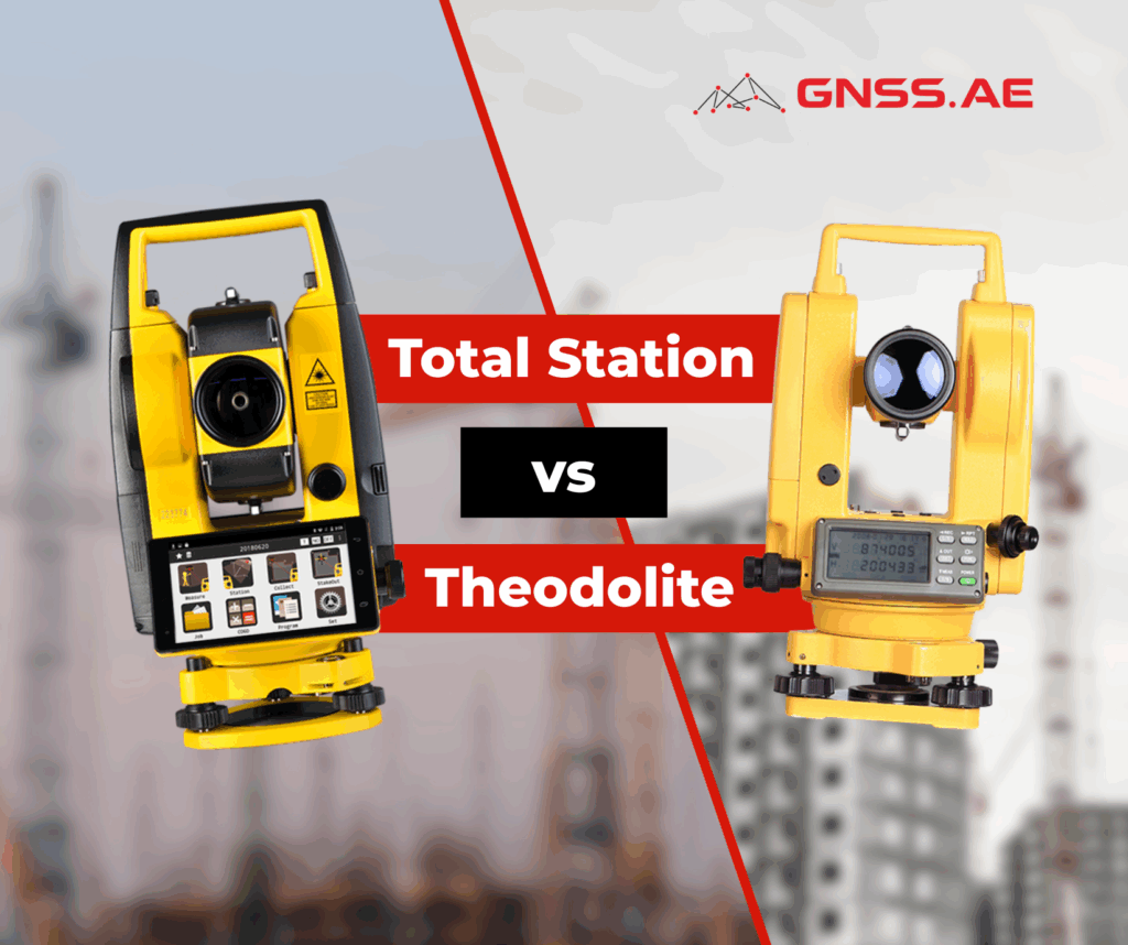
When choosing a surveying instrument, professionals often compare the total station and the theodolite. While they may appear similar at
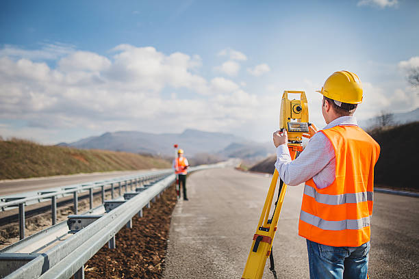
In modern geodesy and GNSS surveying, there are no small details. Every second, every millimeter, every step matters. That is

SLAM (Simultaneous Localization and Mapping) is a cutting-edge technology that enables devices to simultaneously build a map of an unknown

This article summarizes the findings from the study “Comprehensive Performance Evaluation between Visual SLAM and LiDAR SLAM for Mobile Robots:
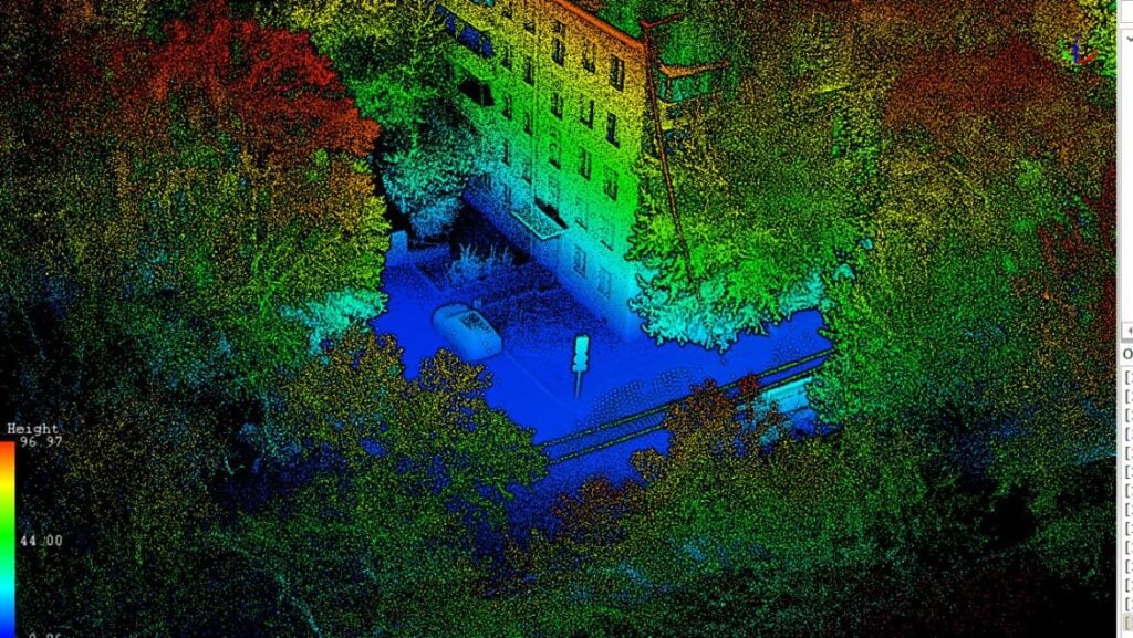
In the era of digital transformation and the development of innovative technologies, mobile laser scanning is emerging as a crucial