Reviews
Pix4D Software Ecosystem: Professional Tools for Drone Mapping and Geospatial Analysis
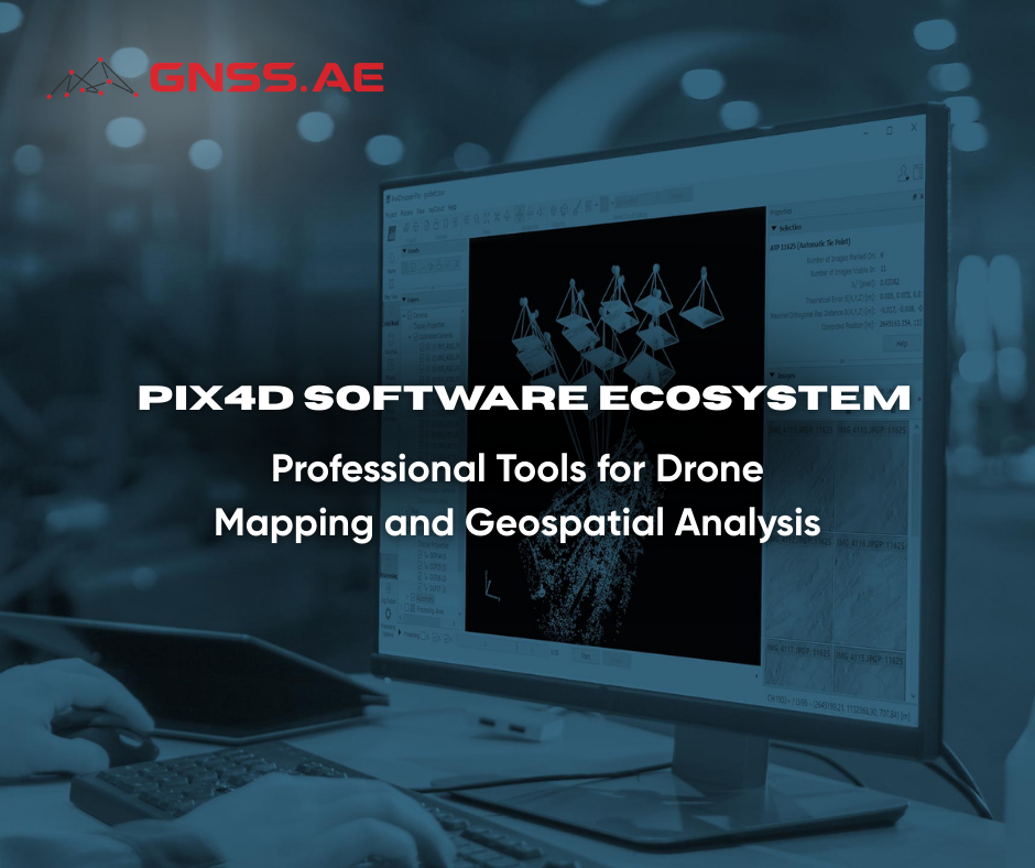
Introduction to Pix4D Pix4D is an established developer of photogrammetry and drone mapping software widely adopted in sectors such as
Introduction to Pix4D Pix4D is an established developer of photogrammetry and drone mapping software widely adopted in sectors such as
In collaboration with the DJI AERONEX regional team, GNSS.AE recently conducted field testing of the DJI Zenmuse L3 LiDAR payload

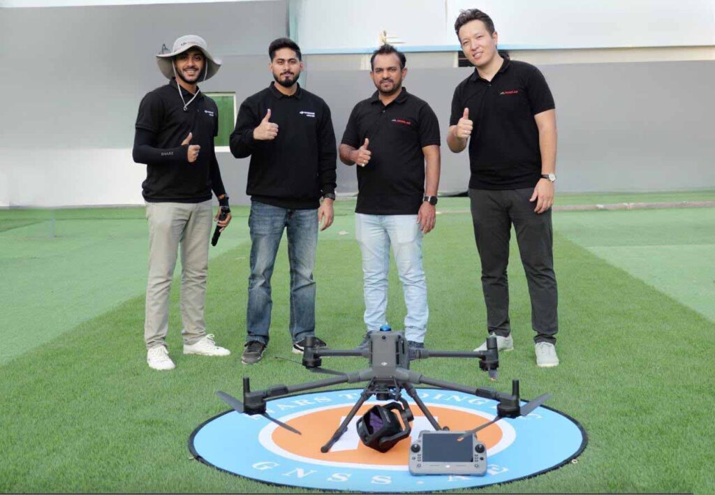
GNSS.AE is proud to announce its official recognition as an authorized DJI Enterprise Partner, received during the DJI AERONEX Summit
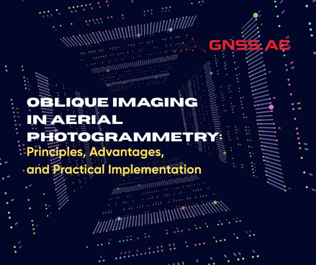
Oblique aerial imaging has become a fundamental component of modern aerial photogrammetry. Unlike traditional nadir imaging, which captures the Earth’s
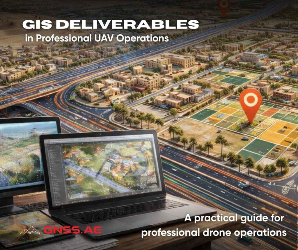
A practical guide for professional drone operations From flying drones to delivering usable geospatial data The commercial UAV market has
From its early beginnings as the Global Positioning System (GPS) to today’s advanced multi-constellation GNSS receivers, satellite-based positioning has transformed
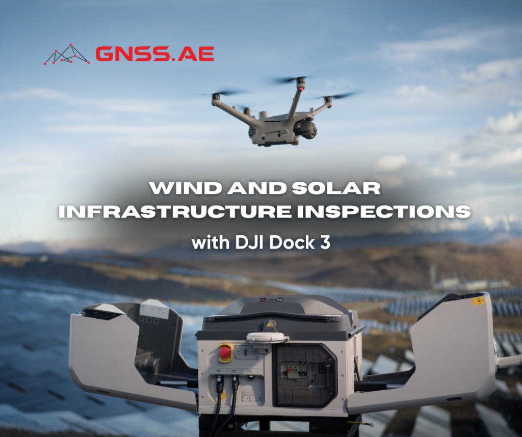
The renewable energy sector is expanding at an unprecedented pace, with wind and solar installations rapidly spreading across remote and
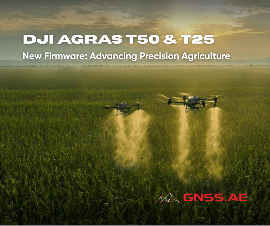
Today’s agricultural sector faces increasingly complex challenges. Farmers worldwide must balance productivity with sustainability amid climate change, rising global food

In the rapidly evolving field of geospatial technology, selecting the right software solution is critical for project success. In this
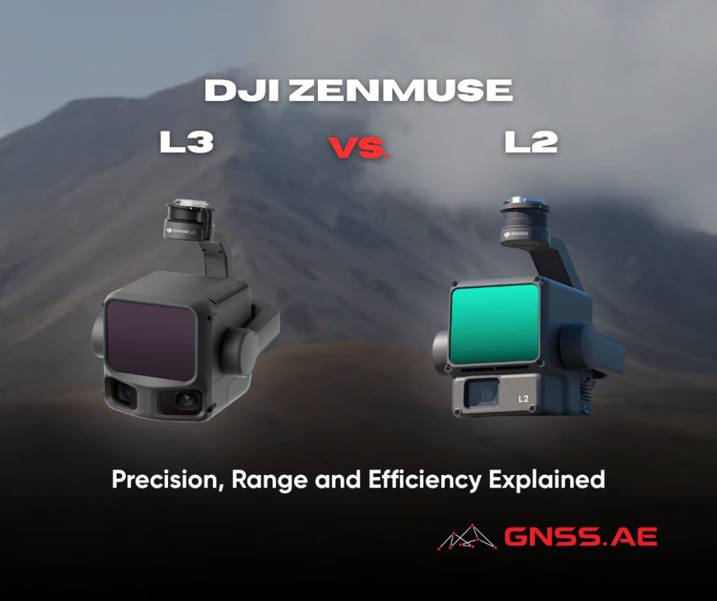
The launch of DJI Zenmuse L3 marks a significant new chapter in DJI’s professional LiDAR payload lineup. Building on the
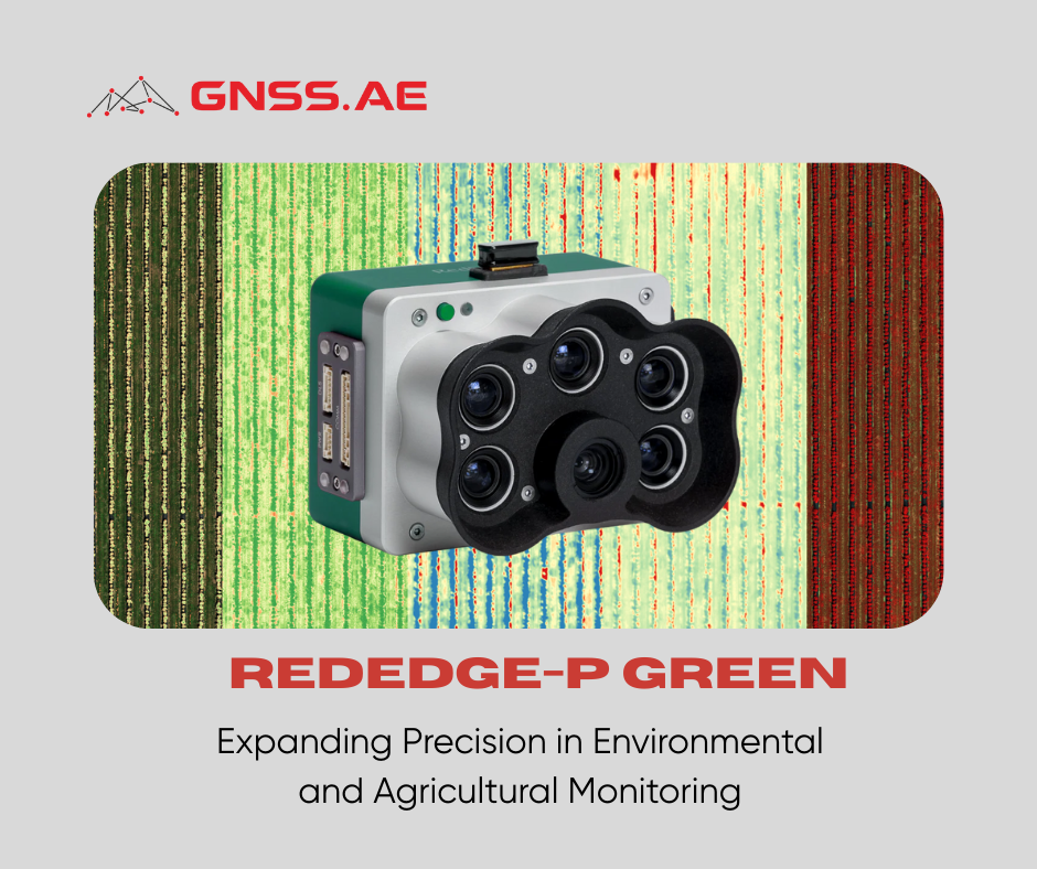
Aerial multispectral imaging has fundamentally reshaped how we assess crops, ecosystems, and environmental change. At the center of this evolution

DJI has officially launched DJI FlyCart 100, marking a significant leap forward in heavy-lift cargo drone technology. As the company’s
Across multiple industries, drone technology has reshaped how professionals collect data, conduct surveys, and monitor the environment. What once felt

As utilities modernize their infrastructure and accelerate digital transformation, UAV-based inspections have become a cornerstone of safe and efficient power
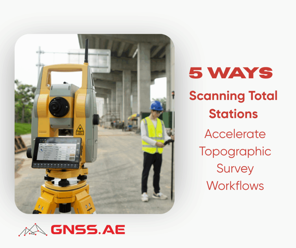
Topographic surveys are essential across commercial real estate, construction, and infrastructure development. These projects demand exceptional precision, full situational awareness,
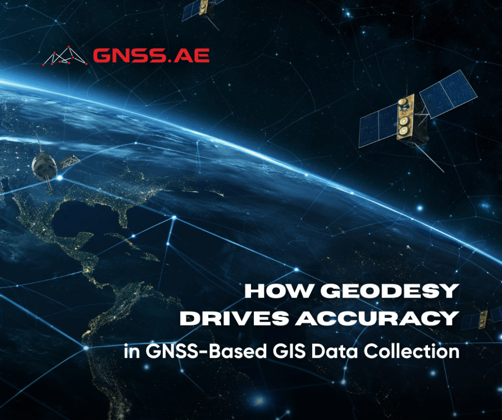
As modern GIS workflows increasingly depend on centimeter-level accuracy, a solid understanding of geodetics has become essential for professionals working

On November 26, GNSS.AE had the pleasure of welcoming our partner SHAREUAV to our Dubai office for an exclusive technology
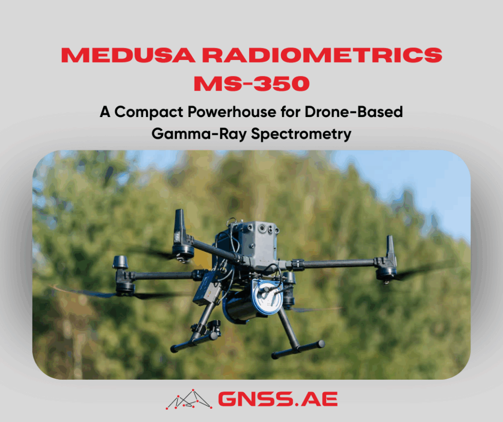
Gamma-ray spectrometry has become an indispensable tool for environmental science, mining, agritech, and contamination assessment. By measuring the energy and
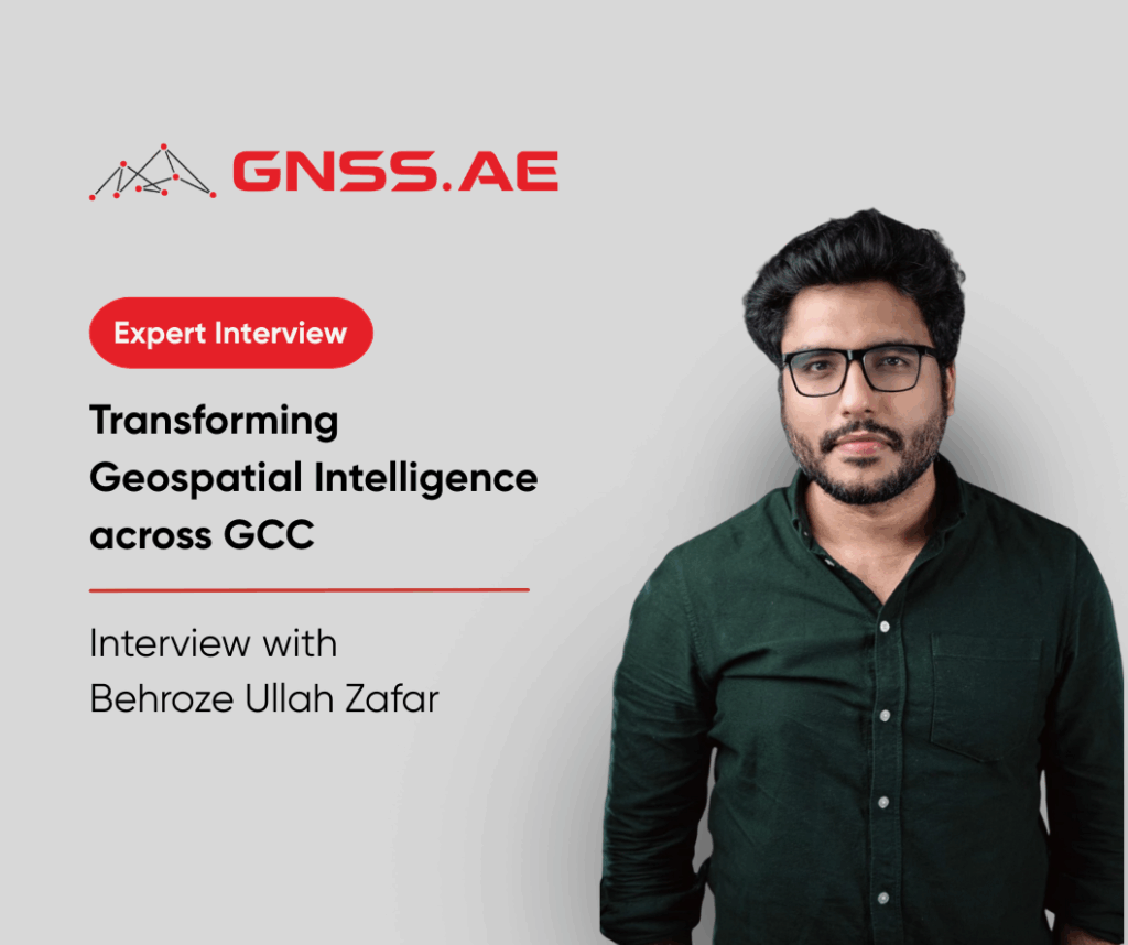
Across the GCC region, spanning the UAE, Oman, and now Saudi Arabia, drone technology is rapidly reshaping how organisations acquire,
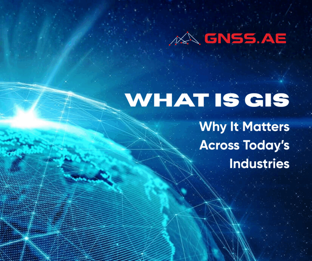
How can cities optimise infrastructure? How do businesses understand customer behaviour through location data? How can governments map and respond
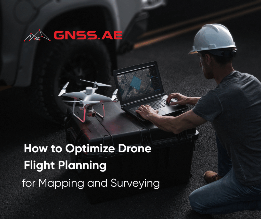
Successful aerial mapping and surveying begin long before the drone leaves the ground. While flying may seem as simple as
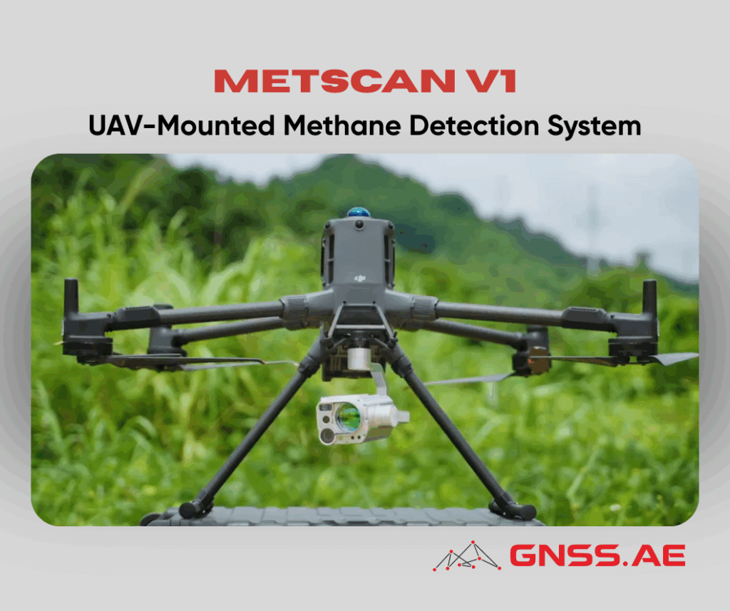
As global energy operators strengthen their commitment to safety, emissions reduction, and operational efficiency, fast and accurate methane leak detection
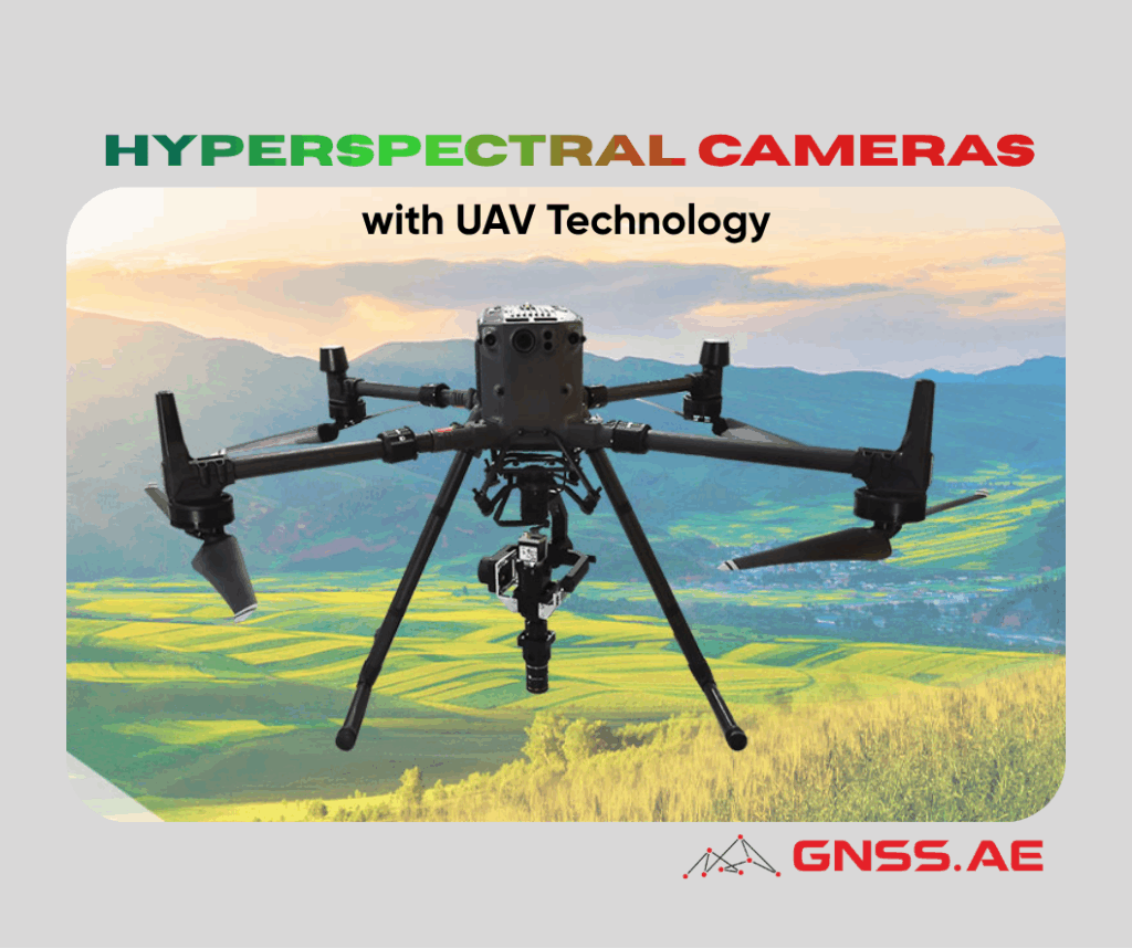
The integration of hyperspectral imaging technology with unmanned aerial vehicle (UAV) systems represents a groundbreaking advancement in environmental and geological
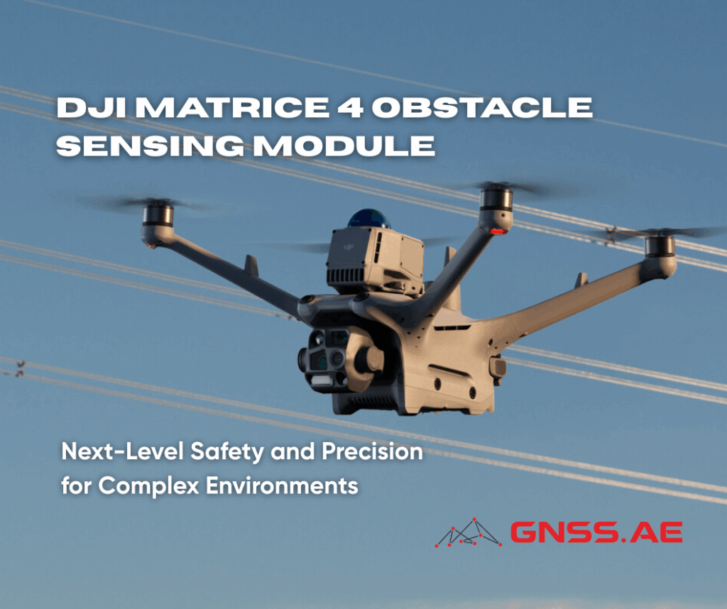
In demanding industrial and inspection scenarios, drone operators face one consistent challenge — ensuring safe and reliable flight in cluttered
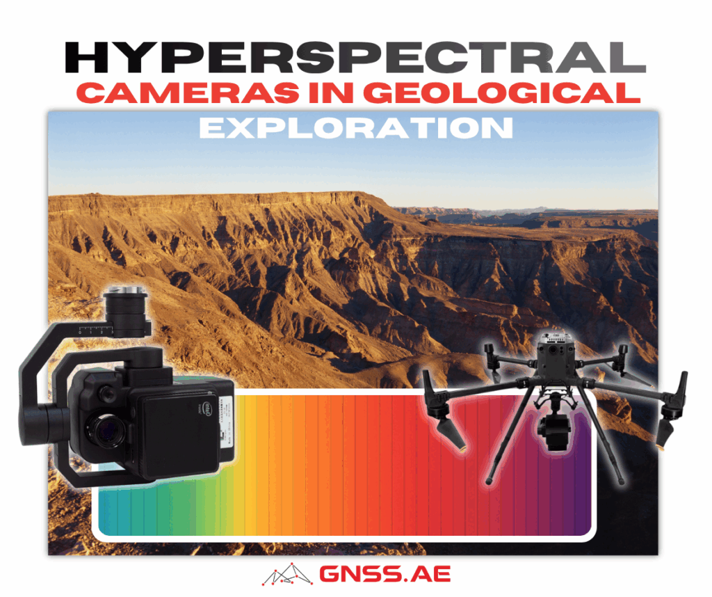
The mining and geological exploration industry has undergone a remarkable transformation in recent decades, driven largely by advances in remote
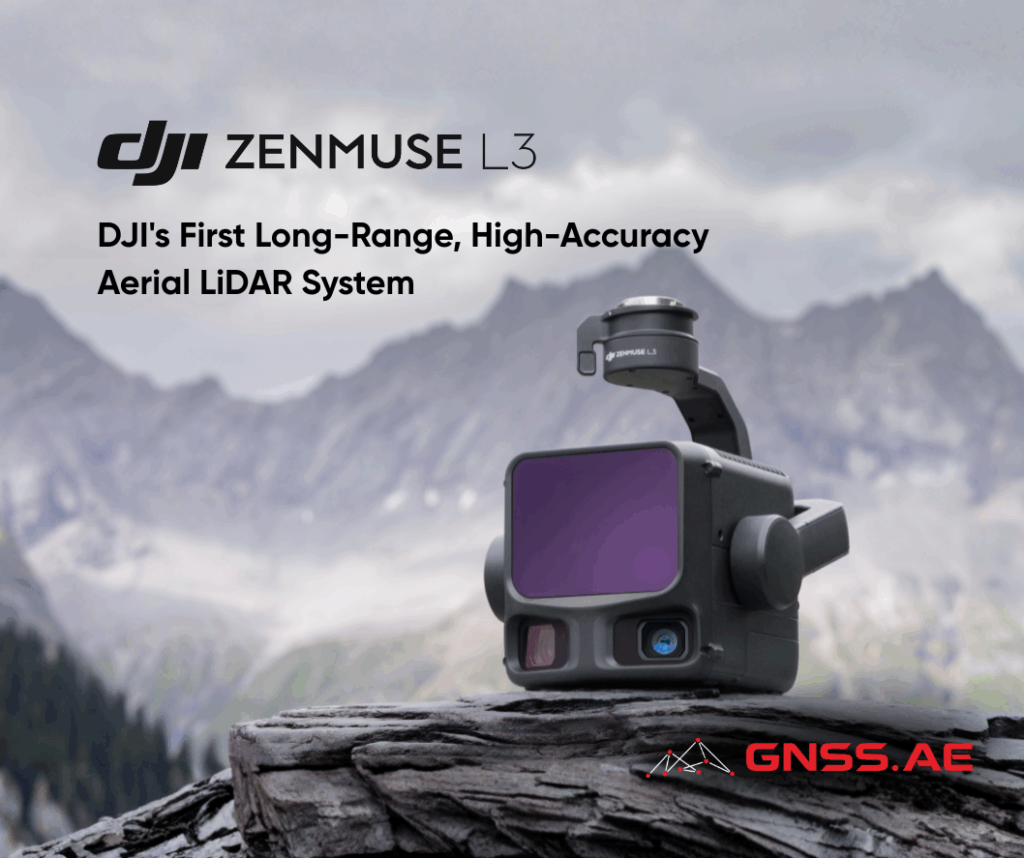
DJI continues to redefine the boundaries of aerial surveying with the launch of DJI Zenmuse L3, its most advanced LiDAR
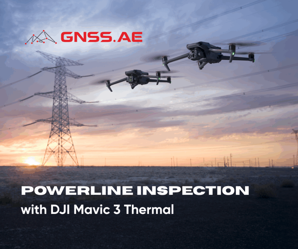
As global electricity demand continues to rise, utility companies face growing pressure to maintain reliable power delivery while ensuring the

In the heart of Saudi Arabia’s rapidly modernizing landscape, drone technology is transforming the way industries operate—from infrastructure inspections to
Whether aerial, terrestrial, or underwater — laser scanning technology is becoming an integral part of modern surveying and geospatial workflows.
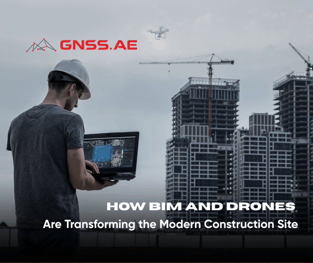
The construction industry, long dominated by traditional, analog processes, is rapidly embracing the digital era. Over the past decade, advanced
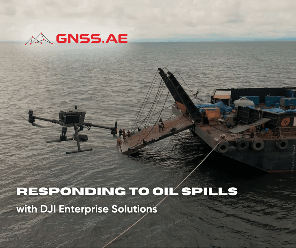
Oil spills are among the most devastating environmental emergencies—posing severe threats to marine ecosystems, coastal communities, and global economies. According
In the rapidly evolving world of geospatial technology and digital infrastructure, drones have redefined how professionals collect, process, and interpret

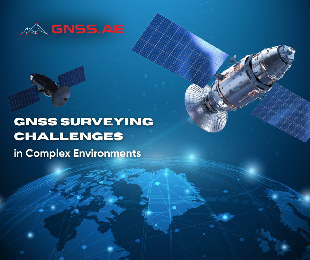
Global Navigation Satellite Systems (GNSS) play a fundamental role in enabling accurate positioning, navigation, and timing across a wide range

Port engineering is undergoing a transformative shift as technology takes center stage in building the future of sustainable maritime development.
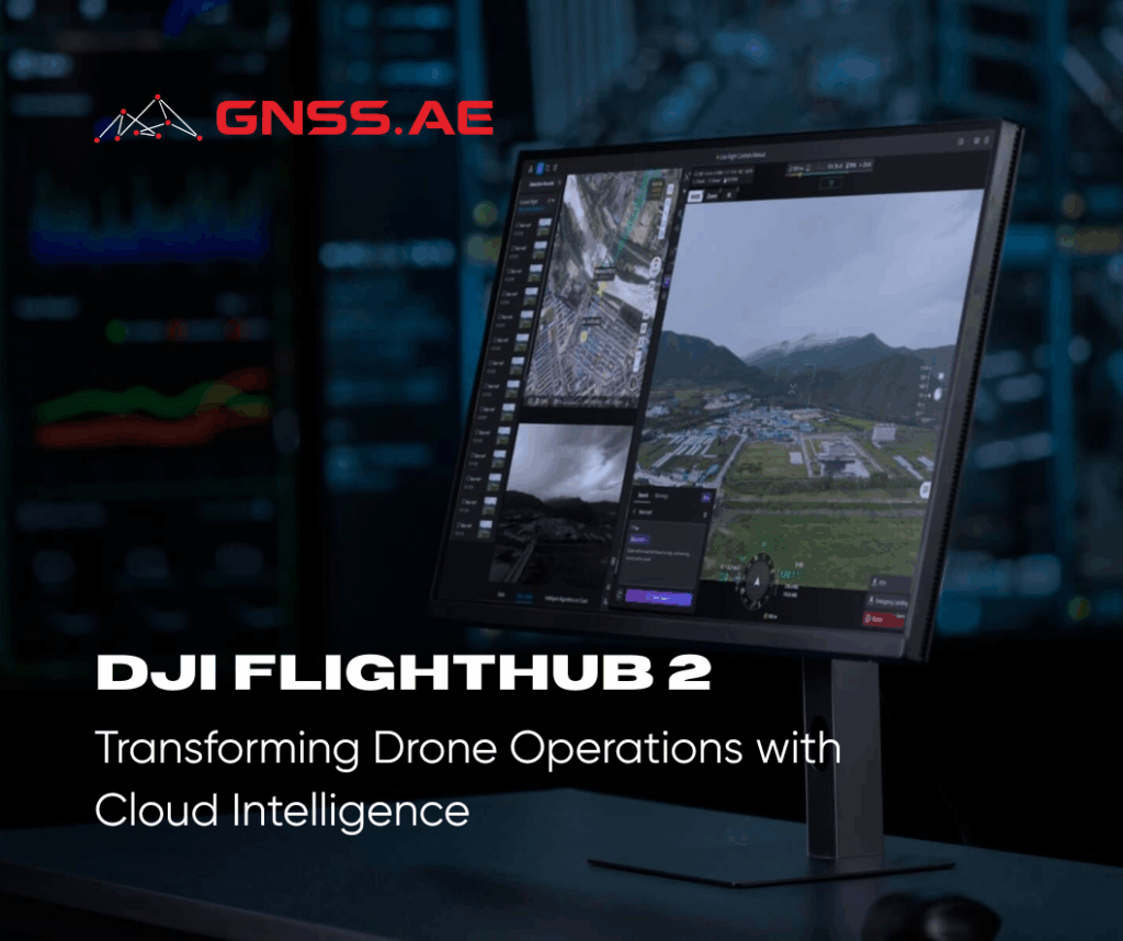
DJI FlightHub 2 represents a major leap forward in drone operations management. By combining intelligent algorithms with a multimodal Large
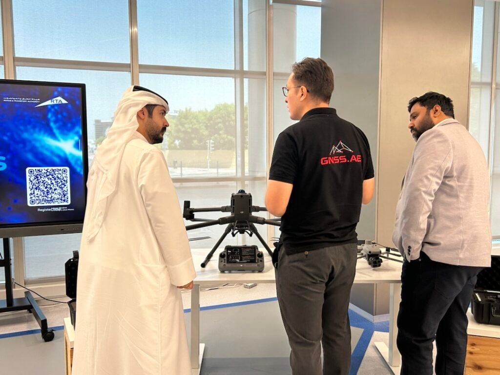
On September 30, GNSS.AE participated in the “Frontiers of Emerging Technologies 2025” event hosted by Roads and Transport Authority (RTA)
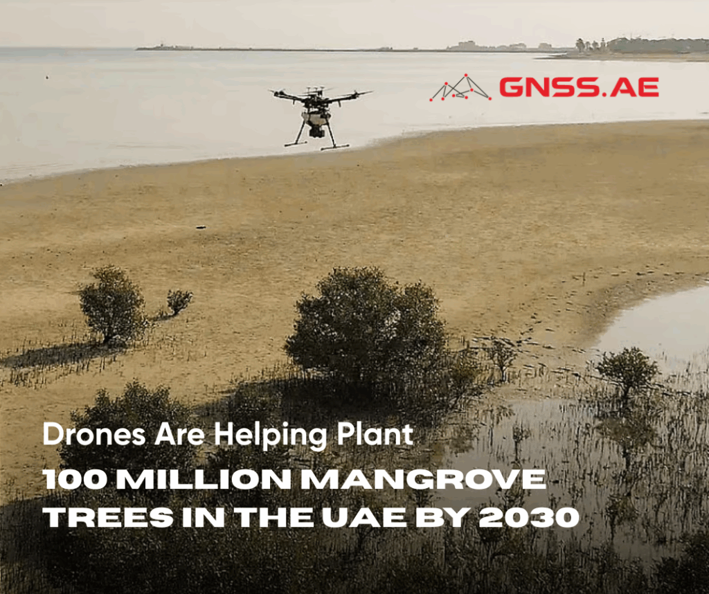
In Abu Dhabi, a groundbreaking environmental project is transforming coastal restoration. The Abu Dhabi Mangrove Initiative (ADMI), led by the
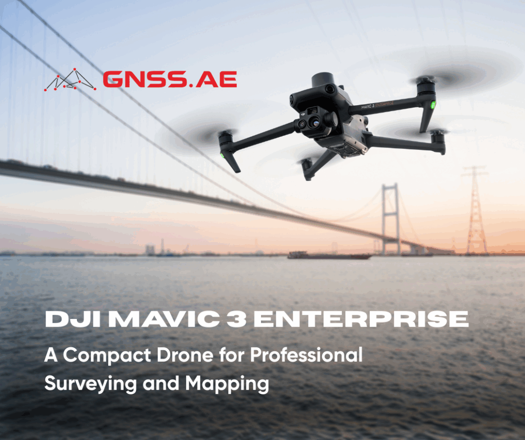
DJI Mavic 3 Enterprise represents the next step in compact drone technology, redefining efficiency in surveying, mapping, and inspection workflows. Engineered
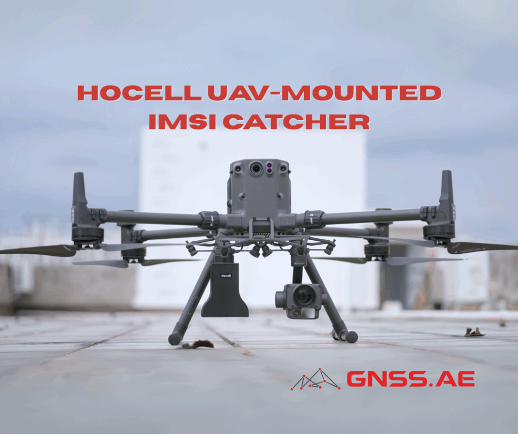
Hocell Drone-Mounted IMSI Catcher is a compact, purpose-built cellular signal-intelligence payload designed to be carried on unmanned aerial vehicles (UAVs).
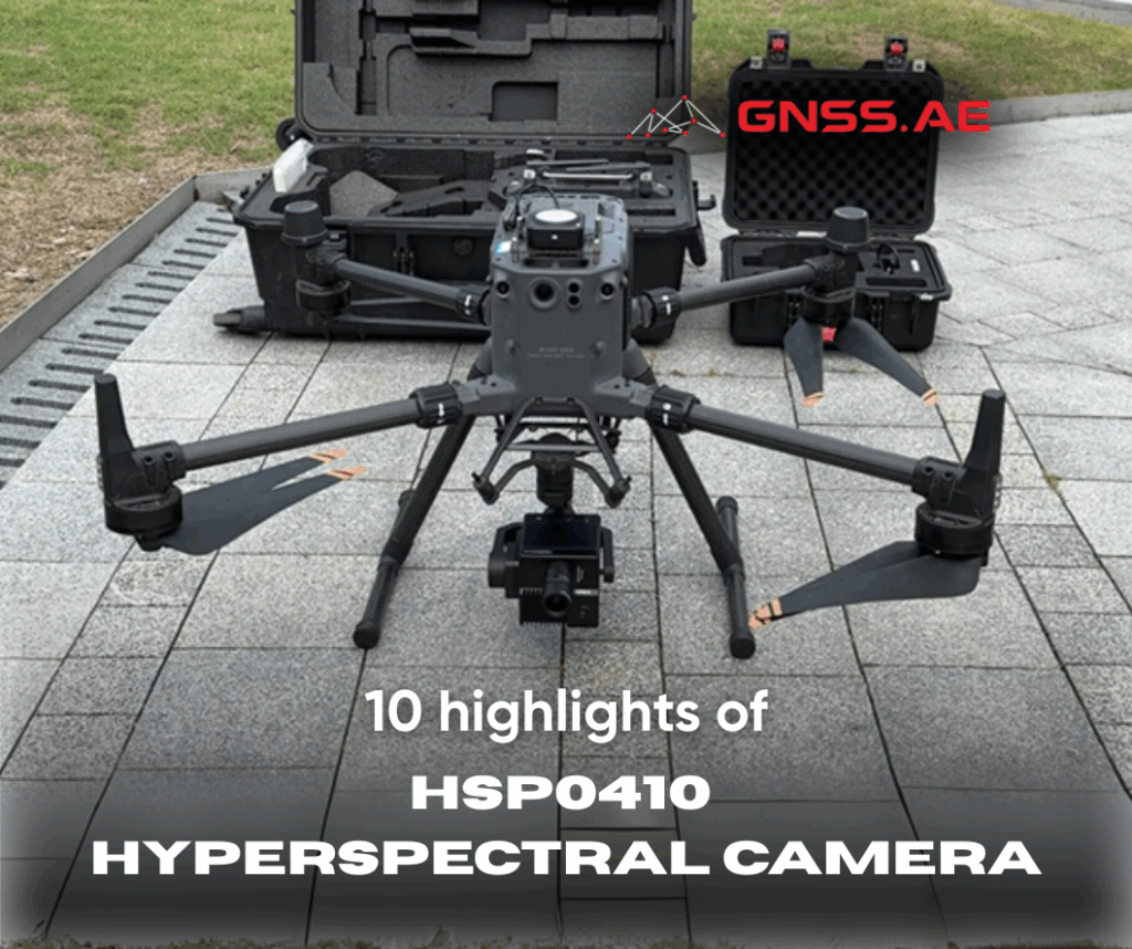
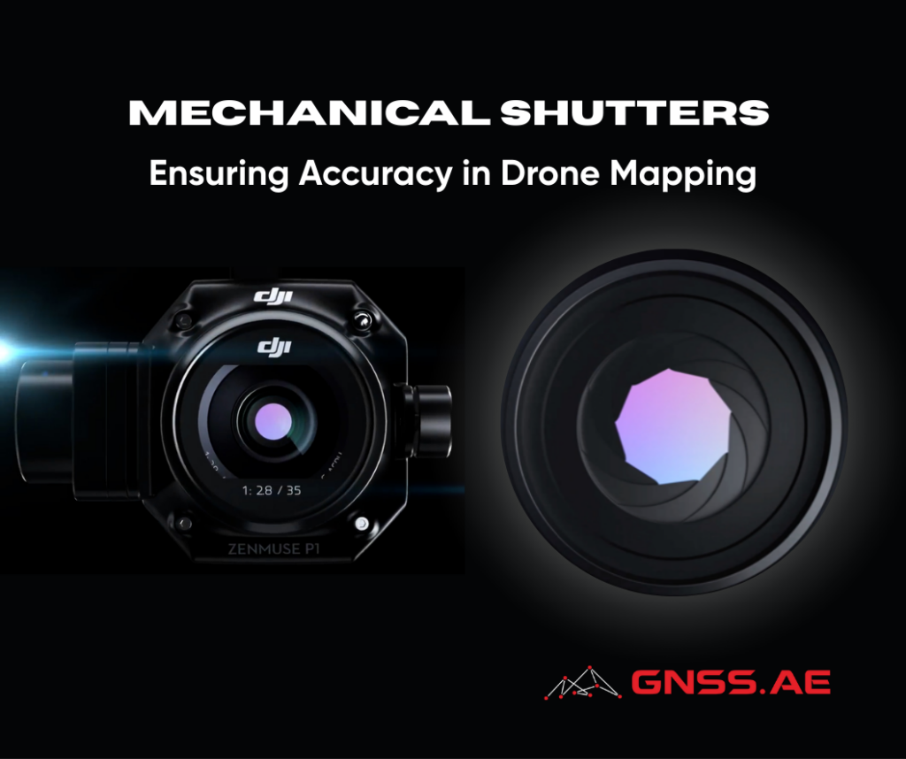
DJI X-Port components are deeply developed and plug-and-play The HSP0410 utilizes a novel optical-mechanical system, resulting in a compact and