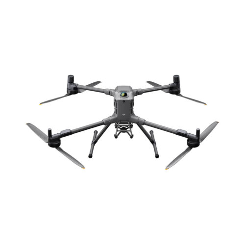
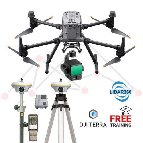
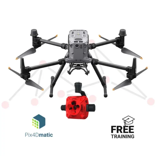
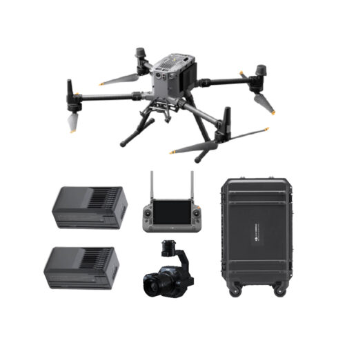
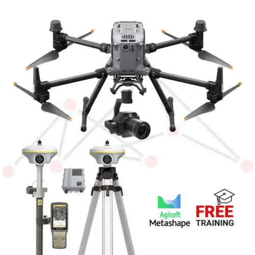
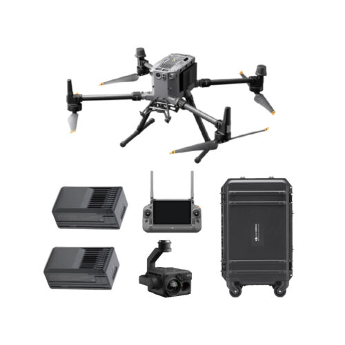
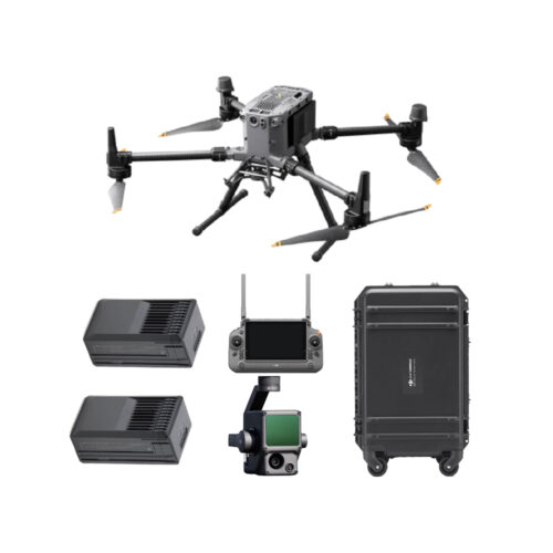
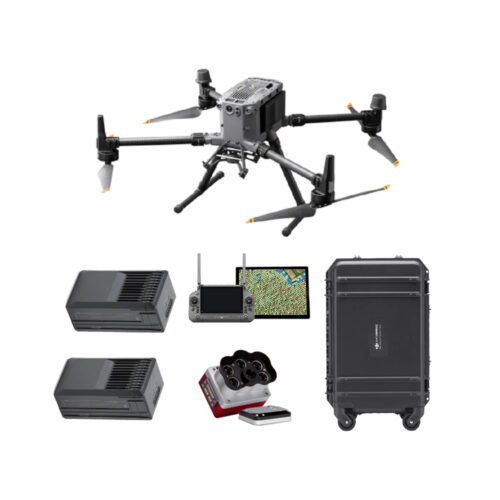
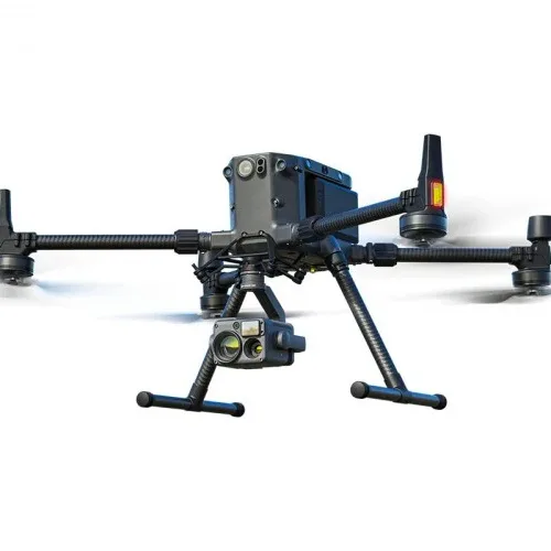
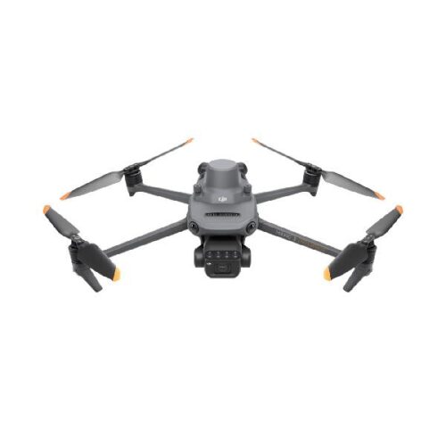
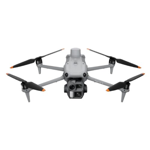
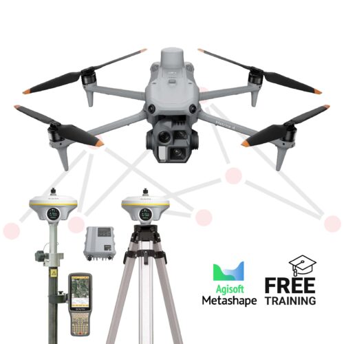
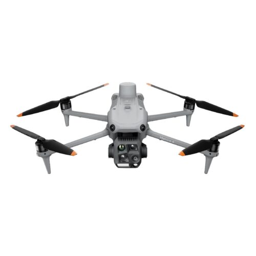
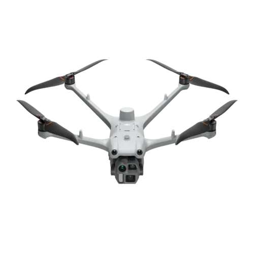
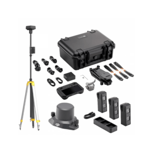
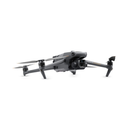
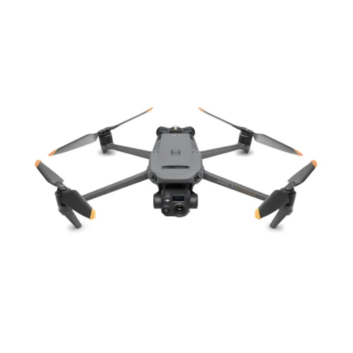
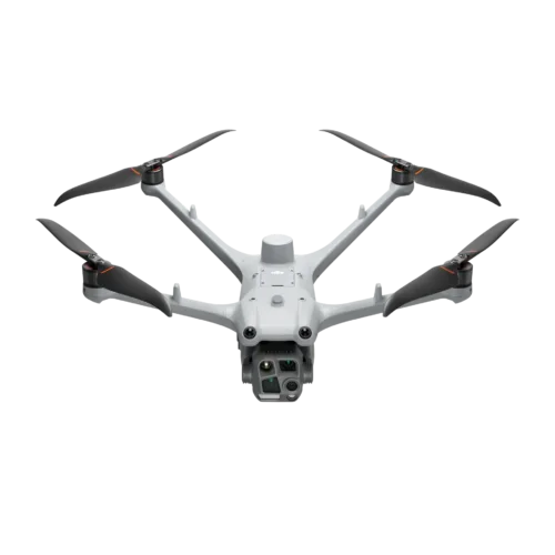
Deliver precision geospatial solutions with cloud-based UAV mapping technology and digital twin capabilities. DJII drones with high-accuracy GPS, photogrammetry workflows, and real-time data processing create detailed topographic surveys, boundary mapping, and construction site monitoring for enhanced project management.