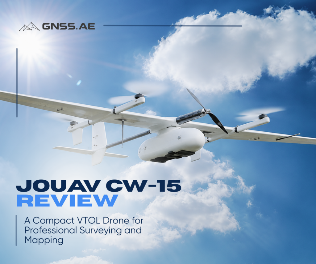
The market for VTOL mapping drones has grown rapidly over the past few years. Alongside large, long-range aircraft designed for demanding enterprise missions, manufacturers are introducing more compact platforms that are easier to deploy without sacrificing professional surveying capabilities.
The JOUAV CW-15 is one of those aircraft. It brings together long-endurance fixed-wing flight, autonomous VTOL operation, and survey-grade positioning in a platform built for everyday mapping work.
In this article, we’ll explore what the CW-15 offers, where it performs best, and whether it’s the right choice for your surveying projects.
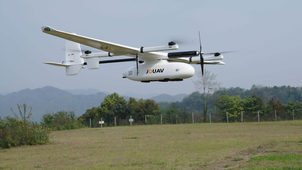
The JOUAV CW-15 is a lightweight VTOL (Vertical Takeoff and Landing) mapping drone designed for aerial surveying and photogrammetry. It is commonly used for topographic mapping, corridor surveys, mining, agriculture, forestry, and infrastructure inspection.
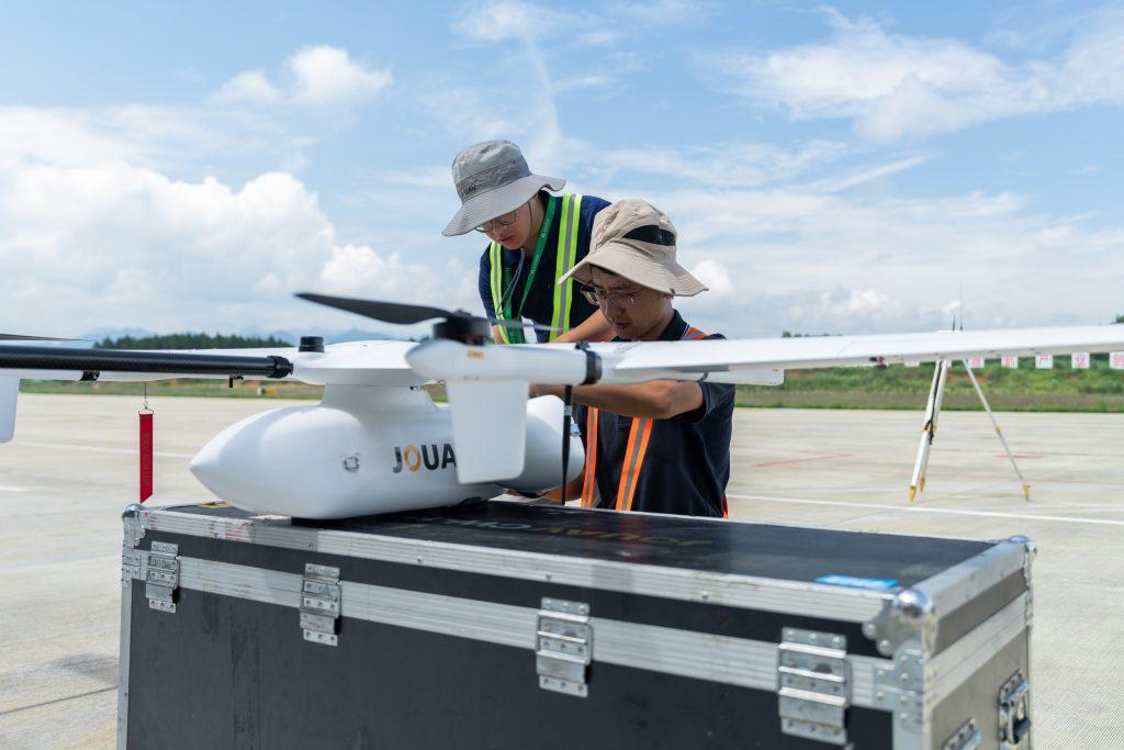
Unlike conventional fixed-wing UAVs that need a runway or catapult launcher, the CW-15 takes off and lands vertically using four dedicated lift motors. After takeoff, it transitions into fixed-wing flight, combining the flexibility of a multicopter with the range and efficiency of a traditional airplane. This allows operators to survey much larger areas while launching from small clearings, roadsides, or temporary field locations.
The platform is aimed at professional users who need more coverage than a multicopter can provide without stepping up to a much larger UAV. It supports high-resolution mapping cameras, automated mission planning, RTK/PPK positioning, and repeatable survey workflows for engineering and geospatial projects.
Specification | JOUAV CW-15 |
Aircraft type | VTOL fixed-wing UAV |
Maximum flight time | Up to 180 minutes |
Maximum mapping coverage | Up to 12 km² (GSD 1.8 cm) or approximately 50 km² at 5 cm GSD in a single flight |
Maximum transmission distance | Up to 100 km |
Takeoff and landing | Fully autonomous VTOL |
Positioning | RTK / PPK |
Wind resistance | Up to 12 m/s |
Cruise speed | Up to 72 km/h |
Maximum takeoff weight | 8 kg |
Operating temperature | -20°C to +50°C |
Assembly time | Approximately 5 minutes |
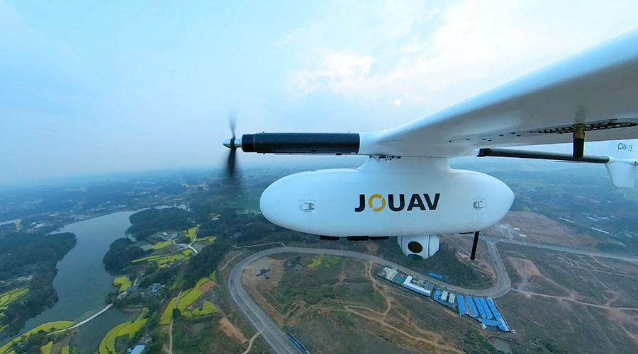
The CW-15 can remain airborne for up to three hours, reducing the number of flights needed to complete large mapping projects. Covering more ground in a single mission also means fewer battery changes, less time spent repositioning crews, and more consistent datasets for processing.
Built-in RTK and PPK support enables highly accurate image positioning while reducing the need for ground control points in many projects. This makes the platform suitable for topographic surveys, digital terrain model generation, volume calculations, cadastral mapping, and other applications where reliable positioning is essential.
Once the aircraft transitions into forward flight, its wings generate lift instead of relying entirely on the motors. This makes the platform far more energy-efficient than a multicopter, allowing it to stay in the air longer and cover larger areas during each mission.
Despite its endurance, the CW-15 is designed for field work. Its modular airframe packs for transport and can be assembled quickly on site. Crews can launch from construction sites, quarry access roads, remote survey locations, or other confined areas where conventional fixed-wing aircraft would be difficult to operate.
The CW-15 is designed for fully automated survey missions. Once the flight plan is uploaded, the aircraft takes off autonomously, follows the predefined route, captures images with the required overlap, returns to the launch point, and lands automatically.
Automation reduces the operator’s workload and helps maintain consistent flight parameters between repeated surveys, improving the reliability of datasets collected over time.
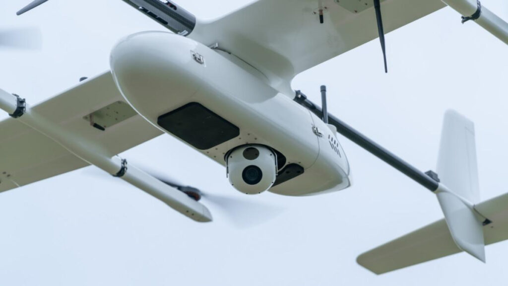
The CW-15 supports multiple payloads for mapping, inspection, and remote sensing, allowing the same aircraft to be used across a wide range of projects.
Depending on the mission, operators can choose a camera optimized for high-resolution photogrammetry, engineering surveys, or multispectral data collection. The selected payload ultimately depends on the required deliverable, whether it’s an orthomosaic, digital surface model (DSM), 3D reconstruction, or vegetation analysis.
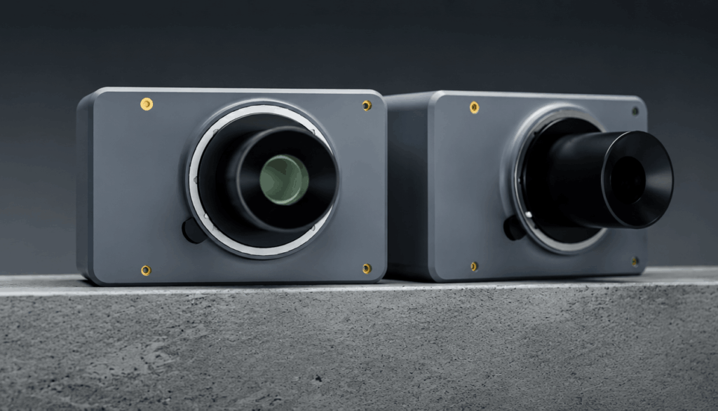
For photogrammetry, the CW-15 is compatible with several professional mapping cameras.
A typical option is the JOUAV CA-103, a lightweight camera developed specifically for aerial mapping. It combines high image quality with low payload weight.
For projects where image quality is the highest priority, the aircraft can also be equipped with Phase One iXM cameras. These medium-format systems are widely used for large-scale mapping, engineering surveys, and government geospatial projects thanks to their exceptional sharpness, dynamic range, and geometric accuracy.
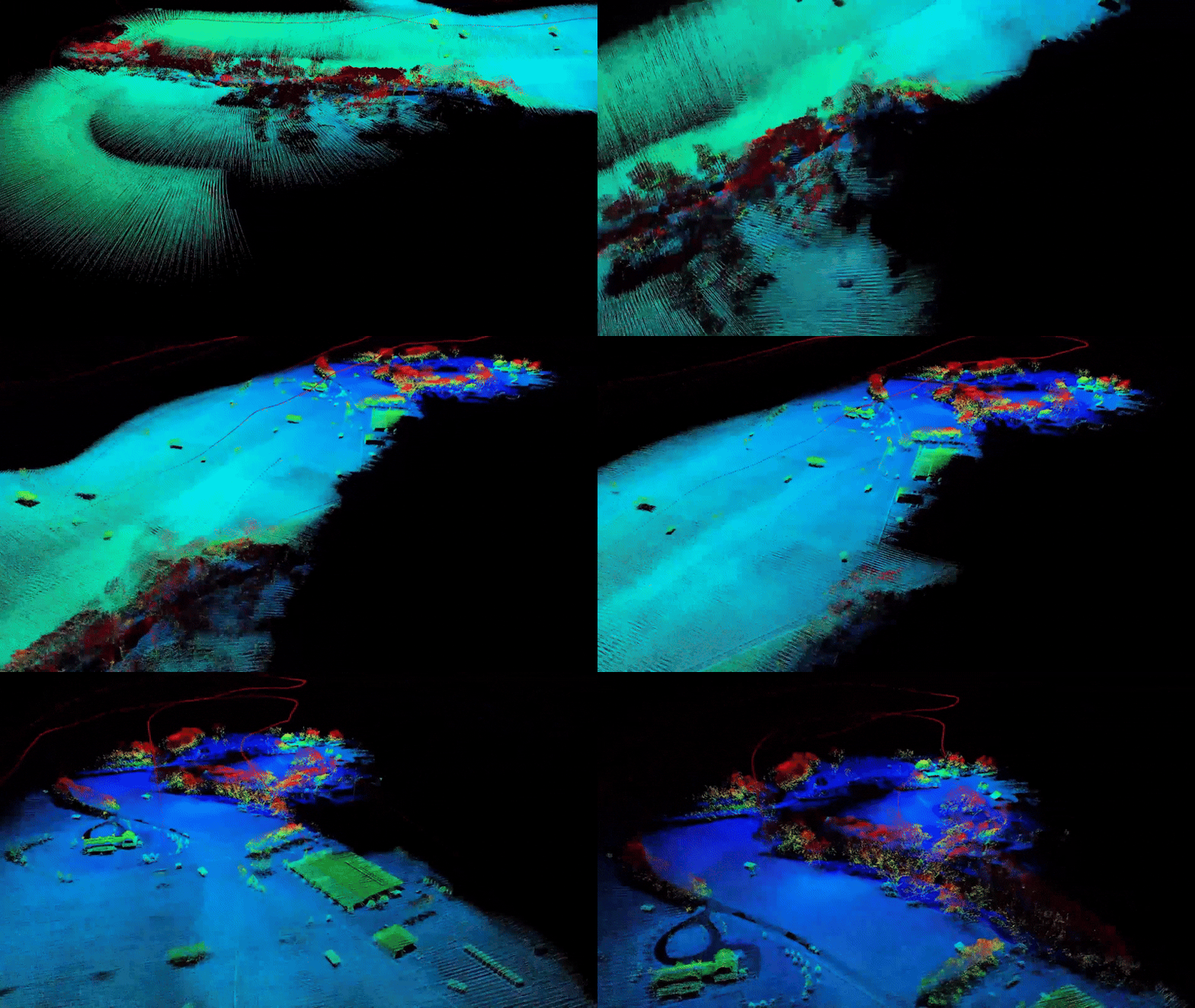
Some surveying tasks require more than image-based photogrammetry. Dense vegetation, complex terrain, or utility corridors often benefit from LiDAR, which measures distance using laser pulses to generate highly accurate 3D point clouds.
The CW-15 platform can be configured with lightweight LiDAR payloads for applications such as forestry, corridor mapping, mining, and terrain modeling. Compared to photogrammetry, LiDAR is less affected by lighting conditions and can capture ground elevation beneath vegetation, making it the preferred choice for many topographic and environmental surveys.
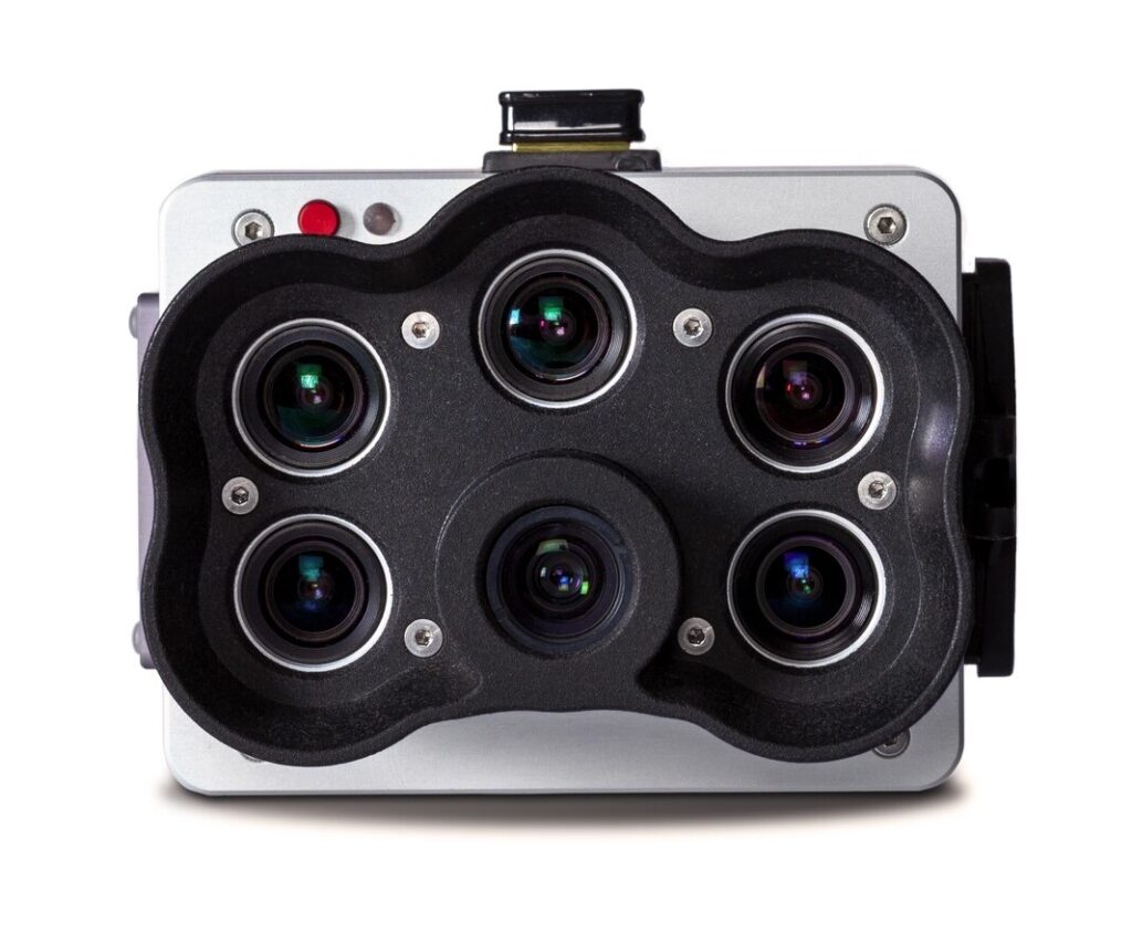
The CW-15 can also be equipped for multispectral surveying, allowing a single platform to support agricultural and environmental monitoring in addition to traditional mapping.
Multispectral sensors capture information beyond the visible spectrum, making it possible to evaluate crop health, identify irrigation issues, monitor vegetation stress, and assess forest conditions. This makes the CW-15 a practical solution for precision agriculture, land management, and environmental research where large areas need to be surveyed efficiently.
Planning a survey with the CW-15 follows the same workflow used by most professional mapping platforms. Operators define the survey area, set parameters such as flight altitude, image overlap, and ground sampling distance (GSD), then upload the mission to the aircraft.
The drone flies the planned route automatically, maintaining consistent image spacing and overlap throughout the mission. This helps prevent coverage gaps and makes it easier to repeat surveys under comparable conditions.
After the flight, the collected imagery can be processed with professional photogrammetry software to generate:
The CW-15 integrates with the software already used by many surveying organizations, including Agisoft Metashape, PIX4D, Bentley iTwin Capture Modeler, and other professional photogrammetry solutions. These applications convert the captured imagery into mapping products for engineering, construction, mining, agriculture, and environmental projects.
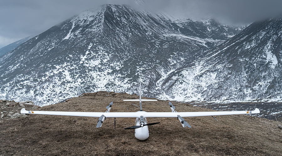
The CW-15 isn’t designed to replace every survey drone. Instead, it fills the gap between compact multicopters and larger long-range VTOL platforms, offering more coverage than a multicopter while remaining easier to transport and deploy than heavier fixed-wing systems.
Its combination of long flight endurance, VTOL capability, and automated mission execution makes it a practical choice for projects where repeated battery changes would slow down fieldwork.
Topographic mapping is one of the CW-15’s primary applications. Its long flight time allows survey teams to cover hundreds of hectares in a single mission, producing high-resolution datasets for engineering design, construction planning, and land development.
Open-pit mines require frequent surveys to monitor excavation progress, calculate stockpile volumes, and update site models.
The CW-15 can capture large mining areas with fewer flights than a multicopter, helping reduce survey time while minimizing disruption to ongoing operations. The collected imagery can then be processed into detailed 3D models, orthomosaics, and volume calculations.
Linear infrastructure projects are particularly well suited to fixed-wing aircraft.
Roads, railways, pipelines, and power transmission lines often extend for many kilometers, making them inefficient to survey with a multicopter. The CW-15’s long endurance enables continuous corridor mapping while maintaining consistent image overlap across the entire route.
Forestry and environmental projects often cover large, remote areas where efficiency is critical.
The CW-15 can be used for vegetation mapping, habitat assessment, watershed management, and environmental monitoring, collecting data across extensive areas without the repeated landings and battery changes required by multicopters.
Equipped with RGB or multispectral cameras, the CW-15 can capture field-scale datasets for crop health assessment, irrigation monitoring, and precision agriculture. Covering more land in a single flight allows operators to complete surveys more quickly during time-sensitive periods.
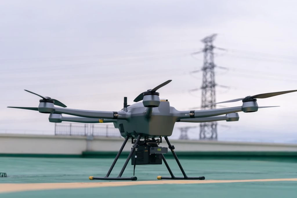
For organizations choosing between a VTOL platform and a conventional multirotor drone, the decision usually comes down to project size rather than image quality.
Feature | JOUAV CW-15 (VTOL) | Professional Multicopter |
Flight endurance | Up to 180 min | Typically 40–60 min |
Coverage per flight | Up to 50 km²* | Typically a few km²* |
Hover capability | Limited | Excellent |
Cruise efficiency | High | Moderate |
Deployment | Requires airframe assembly | Ready to fly in minutes |
Best suited for | Large-area mapping, corridors, agriculture, mining | Small survey sites, inspections, construction monitoring |
Multicopters remain the preferred choice for detailed inspections, confined urban environments, and projects involving frequent hovering. However, once survey areas begin to stretch across several square kilometers, the productivity advantage shifts toward VTOL platforms like the CW-15.
The JOUAV CW-15 proves that an entry-level VTOL doesn’t have to mean limited capability. It combines the flexibility of vertical takeoff and landing with the efficiency of fixed-wing flight, allowing survey teams to cover significantly larger areas than a multicopter while maintaining professional mapping accuracy.
Support for RTK/PPK positioning, compatibility with high-resolution mapping payloads, and autonomous mission execution make it a versatile platform for a wide range of geospatial applications. Whether the task involves surveying a construction corridor, monitoring a quarry, mapping farmland, or producing topographic data for engineering projects, the CW-15 offers a workflow designed around efficiency rather than complexity.
The JOUAV CW-15 can fly for up to 180 minutes, depending on the payload, weather conditions, and mission profile. This extended endurance allows operators to survey large areas in a single flight.
Under typical mapping conditions, the CW-15 can cover up to approximately 50 km² at a 5 cm GSD or around 12 km² at a 1.8 cm GSD, making it suitable for large-scale surveying and corridor mapping.
Yes. The aircraft supports both RTK and PPK positioning, helping improve image geotagging accuracy and reducing the dependence on large numbers of ground control points for many surveying projects.
The CW-15 is widely suited to land surveying, engineering, construction, mining, agriculture, forestry, environmental monitoring, and infrastructure mapping. Its long endurance makes it especially valuable for projects covering large geographic areas.