Real-time kinematic (RTK) positioning has significantly improved drone mapping and already offers higher efficiency than traditional ground-based survey methods. Applying GNSS corrections live during the capture allows users to geotag images with centimeter accuracy, minimizing or removing the need for ground control points (GCPs) in many projects.
Despite this, achieving consistent results in the field is still a challenge. The accuracy depends on continuous correction delivery, stable communication with a base station or NTRIP service, and reliable satellite visibility. Any disruption in these factors can result in a loss of fixed solution, causing parts of the dataset to fall back to lower-accuracy positioning.
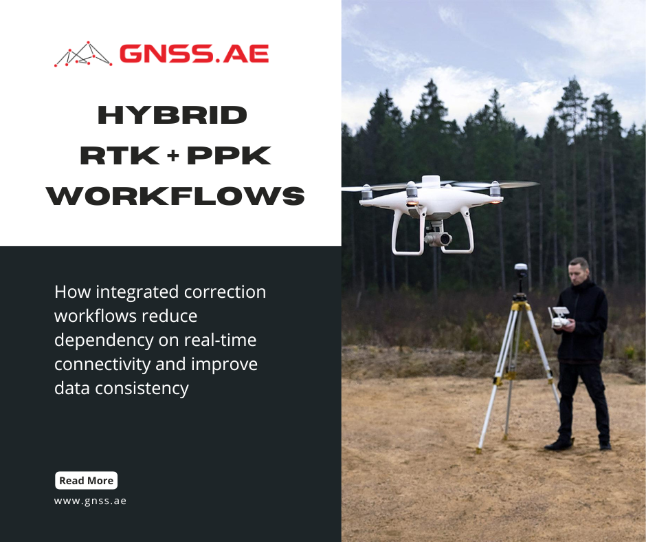
To address this, many survey teams are moving toward a hybrid RTK + PPK workflow. In other words, using RTK during flight with post-processed kinematic (PPK) correction either as a backup or quality check. The goal is not simply higher accuracy, but more consistent and reliable results across the entire dataset.


In practice, RTK and PPK are not competing methods, they are complementary technologies that differ mainly in their timing and dependency of the field conditions during correction.
Parameter | RTK (Real-Time Kinematic) | PPK (Post-Processed Kinematic) |
Correction timing | During flight | After flight |
Connectivity requirement | Continuous (NTRIP or base station link) | Not required during flight |
Field feedback | Immediate accuracy status | No real-time validation |
Sensitivity to signal loss | High | Low |
Processing workflow | Faster, minimal post-processing | Requires additional processing step |
Use case | Standard mapping with stable coverage | Backup, validation, or challenging environments |
RTK is primarily designed for operational efficiency. When conditions are stable, it provides immediate, high-quality geotagging, allowing faster turnaround from data capture to final deliverables.
PPK, on the other hand, is designed for robustness. It records raw GNSS observations during the flight and later combines them with data from a continuously operating reference station (CORS) network or a permanent base station. This allows camera positions to be recalculated after the mission if RTK corrections were interrupted or unavailable.
Rather than replacing RTK, PPK extends its reliability envelope.
A hybrid workflow combines both approaches within a single project:
Rather than assuming RTK will remain stable throughout the entire mission, the hybrid workflow accounts for temporary losses in positioning quality as part of the dataset and final processing.
In practical terms, this hybrid model allows to capture a dataset once and then process it flexibly later on. If RTK performs consistently, the data can be used directly. If inconsistencies appear—such as float solutions or signal drops—PPK can be used to recompute accurate camera positions without returning to the field.
This is especially important for systems like the DJI Mavic 3 Enterprise, which not only supports RTK positioning but also records the raw satellite observations necessary for post-processing. When combined with processing software such as DJI Terra, this creates a workflow where positioning quality can be refined after data capture rather than being fixed at the moment of flight.
Platform / System | Positioning Method | Raw GNSS Logging | Hybrid RTK + PPK Use | Typical Application Scenarios |
RTK (NTRIP / base station) | Supported | Full support | Mapping, construction sites, urban surveys | |
RTK + external GNSS integration | Supported | Full support | Infrastructure inspection, LiDAR mapping | |
RTK multi-GNSS (GPS, Galileo, BeiDou, GLONASS) | Supported | Full support (multi-sensor workflows) | Large-scale mapping, corridor surveys, multi-payload missions | |
LiDAR + GNSS/IMU | Supported | Critical for trajectory correction | Corridor mapping, forestry, power lines |

The hybrid approach is best understood through a practical field workflow. The following sequence reflects how RTK and PPK are combined in real projects.

Before deployment, the operator evaluates GNSS conditions and correction availability. This typically includes checking access to an NTRIP service or setting up a local base station.
Mission planning is carried out as usual, with attention to flight altitude, overlap, and coverage. At this stage, RTK is configured to provide real-time corrections, but no assumption is made that it will remain fixed throughout the mission.

During the flight, the drone receives RTK corrections and tags each image with high-accuracy coordinates. The operator can monitor solution status (fixed, float, or single) in real time.
At the same time, the system records raw GNSS observations. While this dataset isn’t used right away, it becomes essential if post-processing is needed later on. The key advantage of this hybrid workflow is that both data streams are collected simultaneously without disrupting flight operations

In real environments, interruptions are common. These may be caused by:
When RTK corrections are interrupted, the system may switch to a float or autonomous solution. In a purely RTK-based workflow, this would reduce the accuracy of affected images and potentially require a reflight.
However, in a hybrid workflow, those segments aren’t considered lost. The raw GNSS data collected during the flight allows for accurate positioning to be recovered.
If needed, the dataset is post-processed using base station or CORS data. This step recalculates the trajectory and camera positions, replacing or refining the original RTK geotags.
The result is a consistent set of high-accuracy coordinates across the entire dataset, including segments where RTK performance was degraded.

Once positioning data is finalized—whether directly from RTK or refined through PPK—the dataset is processed in DJI Terra. At this stage, the consistency of camera positions directly affects reconstruction quality, influencing alignment accuracy and the reliability of the final model.
In a hybrid RTK + PPK workflow, this step becomes more robust. If RTK corrections were stable, the data can be processed immediately. If parts of the dataset were affected by signal loss or float solutions, PPK can be applied to correct the trajectory and ensure consistent georeferencing across all images.
Earlier updates to DJI Terra introduced integrated PPK processing, allowing raw GNSS observations from both the drone and a base station like the DJI D-RTK 3 to be processed directly within the software. This removed the need for third-party tools and simplified the correction workflow to a sequence of importing images, loading PPK data, and recalculating camera positions before reconstruction.
More recent updates, including DJI Terra 5.2, build on this approach by reducing manual steps and improving overall processing efficiency. Rather than introducing new positioning methods, the focus is on streamlining the workflow—from data preparation to final outputs. A detailed overview of these improvements is available in the article “DJI Terra 5.2, Modify 1.6 and FlightHub 2: Key Updates for Mapping and Inspection Workflows”
The advantages of a hybrid approach to RTK and PPK are more significant where site conditions are less predictable.
Typical scenarios include:
In these cases, relying solely on RTK introduces uncertainty. A hybrid approach provides a controlled fallback, ensuring that data quality does not depend entirely on real-time conditions.
Workflow | Reliability | Accuracy Consistency | Field Dependency |
RTK only | Dependent on signal stability | Can vary across dataset | Requires continuous correction link |
Hybrid RTK + PPK | Higher overall reliability | Consistent across full dataset | Less dependent on real-time conditions |
The operational risk in drone survey is not that the slightly lower accuracy cannot be achieved, but that data must be repeated due to inconsistent results. Hybrid RTK + PPK workflows address this risk directly. By combining real-time positioning with post-processing capability, the workflow ensures that:
This method fits perfectly with the way modern geospatial projects are run. The focus of accuracy has shifted away from perfect conditions in the field to workflows that are robust under changing conditions.
RTK provides speed and efficiency during data acquisition. PPK provides control and recoverability during processing. Together, they create a system where accuracy is not only achieved, but also maintained consistently across the entire project lifecycle.
From a business perspective, this approach directly reduces operational risk. It minimizes the need for costly re-flights caused by incomplete or degraded datasets, improves project turnaround time by reducing uncertainty during field operations, and increases overall data reliability for downstream analysis and deliverables. In large-scale mapping projects, these factors translate into measurable cost savings and more predictable project execution.