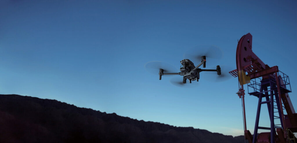
Traditionally, inspection of pipelines, storage tanks, flare stacks and production facilities has been time-consuming and expensive, involving frequent travel to remote sites. Now, as oil & gas companies seek safer and more efficient methods of covering their critical infrastructure, autonomous drones are fast becoming an increasingly practical solution.
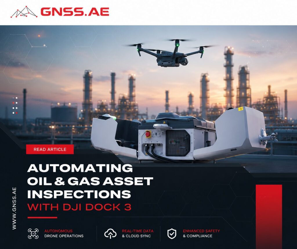
DJI Dock 3, paired with the Matrice 4D Series, allows fully automated inspections that can be scheduled, repeated, and managed remotely. From routine pipeline patrols to alarm-triggered response flights, these systems help teams collect actionable visual and thermal data without sending personnel into the field.
In this article, we’ll examine how oil & gas companies are deploying DJI Dock 3, how inspection missions are planned and automated in FlightHub 2, and what benefits autonomous drone operations can deliver across energy infrastructure networks.
A standart DJI Dock 3 installation includes a reinforced concrete base, dedicated power supply, and satellite internet connection for remote connectivity. In dusty environments, elevating the Dock helps minimize debris accumulation and maintain reliable performance.
Several best practices have emerged from large-scale deployments:
Careful planning during deployment helps ensure reliable autonomous operation while meeting cybersecurity and operational requirements.
Mission planning is one of the most important parts of an automated inspection program. FlightHub 2 allows operators to create standardized missions that can be executed repeatedly with minimal effort.

Many oil and gas companies already maintain GIS databases containing information such as:
Importing this data into FlightHub 2 provides valuable context for route planning and operational awareness.
Once GIS layers are available, operators can design missions that closely follow the assets being inspected.
For pipelines and transfer lines, Linear Missions allow the drone to fly directly along the infrastructure route, ensuring consistent coverage for detecting:
For facilities, tank farms, drilling pads, and processing sites, Area Missions automatically generate systematic flight patterns for inspections, mapping, and documentation.
Flight settings are tailored to specific inspection goals.
For example:
Mission parameters such as altitude, gimbal angle, overlap, image intervals, and return-to-home behavior are saved as part of the mission template, ensuring consistent data collection over time.
Once optimized, missions can be stored in the Task Plan Library and executed whenever needed.
This is particularly valuable for operations requiring frequent inspections, including regulated pipeline monitoring programs where flights may occur every few hours. Instead of rebuilding routes, operators can launch predefined missions with a single command or schedule them to run automatically.
One of the biggest advantages of DJI Dock is the ability to respond automatically to both scheduled inspections and operational events.
A typical workflow includes:
Tasks that previously required hours of driving and inspection can often be completed through a short-automated flight.

Collecting imagery is only part of the process. Large inspection programs often generate thousands of images and hours of video data every week.
Reviewing this information manually can quickly become a bottleneck.
As a result, many organizations are beginning to integrate AI-assisted analytics into their inspection workflows.
These systems can help identify:
Rather than replacing human inspectors, AI tools help prioritize areas that may require closer investigation.
This allows specialists to focus their attention on potential issues instead of reviewing every image individually.
Over time, AI-assisted analysis may also support predictive maintenance strategies by identifying patterns that suggest developing problems before failures occur.

Pipeline inspections remain one of the most common applications for autonomous drone operations.
Regular flights can help detect:
Frequent inspections provide a level of visibility that would be difficult and costly to achieve through ground-based patrols alone.
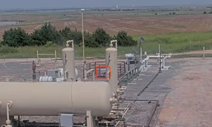
Production facilities contain numerous assets that benefit from routine visual and thermal monitoring.
These include:
Drone-based inspections can reduce the need for personnel to access hazardous areas while providing detailed imagery for maintenance planning.
Environmental protection is an increasingly important component of modern energy operations.
Autonomous inspections can help identify:
By detecting issues earlier, operators can respond more quickly and minimize potential environmental impacts.
Organizations deploying DJI Dock systems consistently highlight four major advantages:
Benefit | Impact on Oil & Gas Operations |
Improved Safety | Reduces worker exposure to hazardous environments, extreme temperatures, hazardous gases, and long-distance travel by replacing many manual inspections with autonomous drone missions. |
Greater Efficiency | Eliminates repetitive field patrols, accelerates inspection cycles, and enables faster response to potential issues through scheduled and on-demand flights. |
Higher Data Consistency | Standardized flight routes and capture settings ensure reliable visual and thermal datasets that support accurate analysis, reporting, and AI-driven anomaly detection. |
Scalability | Allows organizations to expand autonomous inspection programs across multiple facilities, pipelines, and production areas without significantly increasing operational workload. |
The oil and gas industry has long depended on manual inspections to maintain visibility across critical infrastructure. While these methods remain important, they can be difficult to scale as asset networks expand and operational requirements become more demanding.
Autonomous drone dock systems offer a practical alternative by combining repeatable flight operations, remote monitoring, thermal imaging, and data-driven analysis within a single workflow.
As organizations continue to adopt automation, the focus is shifting from periodic inspections toward continuous infrastructure awareness. Combined with GIS integration, AI-assisted analytics, and evolving remote operation capabilities, autonomous drone systems are helping operators improve safety, increase efficiency, and gain a more complete understanding of asset conditions across the energy sector.