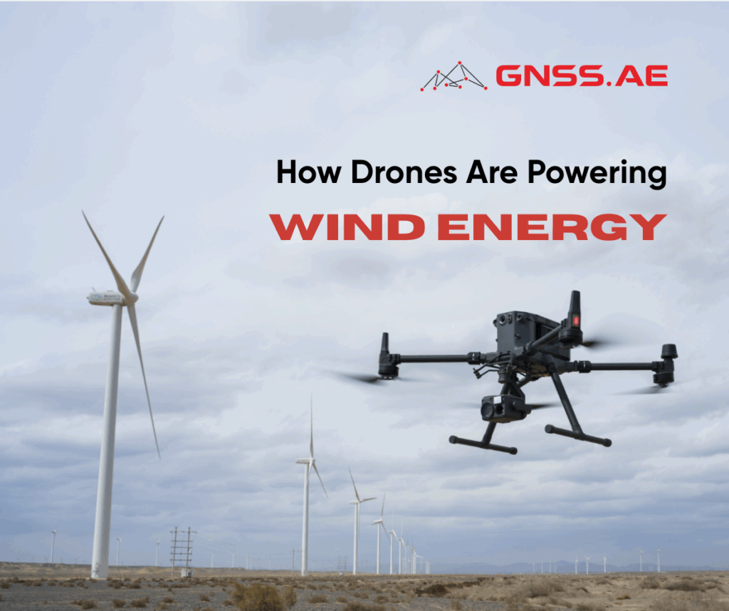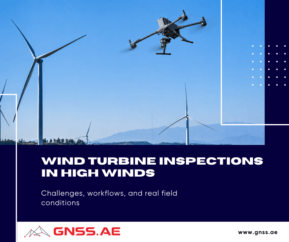
Unlike facade mapping or standard infrastructure surveys, inspections around wind turbines happen inside a constantly changing airflow environment. Wind direction shifts around the tower, turbulence forms near the blades, and gusts become noticeably stronger with altitude.
All of this can have a direct impact on the quality of the inspection. A drone may successfully complete the mission while still producing datasets that are difficult to analyze later: blurred imagery, unstable overlap, thermal inconsistencies, or reconstruction artifacts caused by small aircraft movements during capture.
That is why modern turbine inspection workflows involve much more than simply choosing a drone and flying around the structure.
This article looks at how wind turbine inspections are actually performed in the field — from planning and sensor selection to turbulence management, repeatable missions, and inspection data processing in real operating conditions.
Before takeoff, inspection teams focus on site conditions rather than the flight path alone. Wind farms are often located in coastal, offshore, mountainous, or open-terrain environments where wind conditions can change significantly with altitude. Airflow is further affected by the turbine structure and rotating blades.
Pre-flight planning typically includes:
Mission planning software is commonly used to create repeatable flight paths around turbines. Platforms such as UgCS allow operators to build precise 3D routes around complex structures and replicate the same inspection pattern across multiple inspection cycles. Consistent flight paths make it easier to compare blade condition over time and identify emerging defects.
Environmental conditions also influence inspection quality. Thermal surveys, for example, are sensitive to sunlight, surface temperature, and wind. Direct solar heating can create false thermal signatures, while strong winds may reduce thermal contrast by cooling blade surfaces unevenly. As a result, thermal inspections are often performed early in the morning or near sunset.

Wind turbine inspections are typically performed according to standardized procedures that allow operators to assess multiple turbines within a limited weather window.
In practice, inspection timelines are relatively predictable:
This efficiency comes from repeatable flight procedures, careful mission planning, and high-resolution optical payloads that reduce the need for prolonged close-range flights.
Blade positioning is another important part of the inspection process. Depending on site conditions and inspection requirements, operators commonly use one of several configurations:

Using the same blade positions and flight patterns across multiple inspections helps maintain consistency in the collected data and simplifies comparison between inspection campaigns.

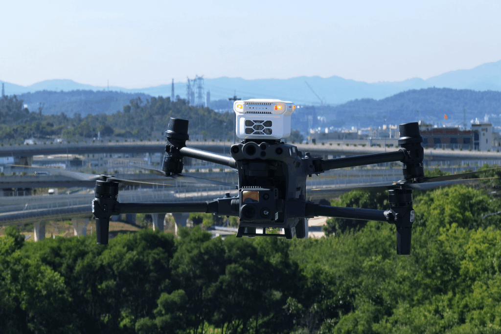
There is no single, general-use drone that can perform all wind turbine inspection tasks. Platforms are chosen according to their flight profile (behavior, endurance, payload), and their ability to stay stable in the face of high turbulence.

The Matrice 400 is currently one of the most capable multirotor enterprise platforms for large turbine inspection workflows, particularly in offshore or high wind turbines.
Its main advantage is operational flexibility. The platform supports heavier payload combinations, long-duration inspection flights, and multi-sensor workflows where operators combine zoom, thermal, LiDAR, or photogrammetry sensors during the same operation.
This becomes particularly useful on large wind farms where teams need:
In practice, the Matrice 400 fits best into:
The Matrice 30T remains one of the more practical inspection platforms for mobile field teams and fast deployment workflows.
Compared to larger enterprise systems, the M30T is easier to transport and deploy, which makes it useful for:
Its built-in thermal and zoom capabilities simplify operations, as teams don’t have to deal with separate payloads or rebalance the aircraft between missions. This is especially helpful when inspections need to be done swiftly in changing weather conditions.
The platform is particularly effective for:

The Matrice 4T is a more compact inspection platform designed around fast deployment and automated workflows.
Despite its smaller form factor, the aircraft supports:
That makes it useful for preliminary inspections, rapid condition assessment, and repeatable inspections where portability matters.
The platform is especially practical for operators who need:
Its compact size also helps reduce logistical complexity during inspections across remote or difficult-access sites.
At the same time, smaller platforms naturally react more aggressively to turbulence and gusts around turbines compared to heavier enterprise aircraft. Because of that, the Matrice 4T is usually better suited for:

For wind turbines, the selected payload can determine the durability of inspection data the UAV team can collect in more unstable environments. Optical zoom systems are still the classic and still the best inspection tool for most turbine operating projects. Long-range zoom can be used to inspect:
without flying dangerously close to the blades.
Payloads such as the DJI Zenmuse H30T are commonly used for this type of workflow, using its zoom, thermal imaging, and low-light capabilities to gather visual and thermal inspection data simultaneously.
Thermal inspection adds another layer of analysis, but environmental conditions heavily influence the results. Wind cooling, direct sunlight, humidity, and surface temperature can all affect thermal contrast and create misleading readings. For that reason, thermal inspections tend to be scheduled during a certain period during the day rather than at whatever time is convenient.
LiDAR serves a different role altogether.
For blade defect detection, high-resolution optical inspection is still more effective. However, LiDAR becomes useful when turbine inspections are part of a larger infrastructure workflow involving:
Systems like the DJI Zenmuse L3 are generally used for larger site modeling and geospatial tasks rather than just for blade inspections.

Wind resistance is the maximum continuous wind speed specified by the manufacturer for which the aircraft can sustain nominal, safe flight. Since turbine inspections are often conducted in coastal regions, open plains, elevated terrain, and offshore environments, this parameter often influences the choice of inspection platform.
However, maximum wind resistance should not be confused with optimum inspection conditions While an aircraft can be fully controllable at its limit, inspection quality may suffer through increasing power consumption, decreasing flight efficiency, and shorter mission endurance.
Therefore, operators typically maintain a safety margin below the published limits whenever possible, especially during detailed blade inspections that require extended hovering and precise positioning.
Typical wind resistance specifications for commonly used inspection platforms include:
Platform | Wind Resistance |
DJI Matrice 4T | 12 m/s |
DJI Matrice 30T | 15 m/s |
DJI Matrice 400 | 15 m/s |
Beyond the published specification, overall aircraft mass, propulsion efficiency, and stabilization performance also influence how comfortably a platform can operate in turbulent conditions around large turbine structures. Larger enterprise aircraft generally provide greater stability and longer endurance when inspections must be conducted in challenging weather conditions.

Conditions around a wind turbine become significantly less stable once the aircraft approaches the blades and nacelle. Airflow interacting with the tower, nacelle, and moving blades creates localized turbulence and changing wind patterns that often differ from the ambient conditions measured at ground level. As a result, operators may encounter sudden variations in wind speed and aircraft stability depending on their position around the structure.
To reduce exposure to these conditions, modern inspection programs increasingly rely on high-resolution zoom cameras. These systems allow operators to capture detailed imagery from greater stand-off distances while still identifying defects such as:
By reducing the need for prolonged close-proximity flights, this approach lowers operational risk and helps prevent accidental contact with turbine components.
The widespread use of high-zoom payloads has also improved productivity in the field. Tasks that previously required multiple close-range passes can often be completed from fewer positions, allowing inspection teams to assess more turbines during a single deployment.
At the same time, inspection workflows have become increasingly standardized. Automated flight paths, repeatable image-capture routines, and AI-assisted analytics platforms help ensure that data is collected in a consistent format across large turbine fleets. This makes it easier to compare results between inspection campaigns and track changes in blade condition over time.

Collecting inspection imagery is only one part of a modern wind turbine inspection workflow. Large wind farms may contain hundreds of turbines, generating thousands of images during a single inspection campaign. Managing, analyzing, and comparing this information over time has become just as important as the data collection process itself.
As a result, many operators rely on specialized inspection management platforms designed specifically for wind energy assets.

The SkySpecs Horizon Platform is designed to provide a centralized view of turbine health across large wind farms. Inspection results from multiple campaigns can be stored, organized, and compared within a single environment, allowing operators to monitor how blade defects evolve over time.
Capability | Description |
Defect Tracking | Monitor blade defects across multiple inspection cycles |
Historical Analysis | Compare inspection results over time |
Asset Management | Centralized management of turbine fleets |
Maintenance Planning | Prioritize repairs and maintenance activities |
Reporting | Generate asset-level and fleet-level reports |
By maintaining a continuous inspection history, Horizon helps operators make more informed maintenance and budgeting decisions while improving long-term asset reliability.

Clobotics IBIS focuses on autonomous inspections and AI-driven blade analysis. Inspection imagery is automatically processed using machine learning algorithms trained to identify common blade defects and classify their severity.
Capability | Description |
Autonomous Inspections | Supports highly automated inspection workflows |
AI Defect Detection | Identifies cracks, erosion, lightning damage, and surface anomalies |
Defect Classification | Categorizes findings by type and severity |
Automated Reporting | Generates standardized inspection reports |
Fleet Consistency | Ensures uniform assessment across multiple turbines |
The platform reduces the amount of manual image review required and enables inspection teams to process large datasets more efficiently.

SkyVisor Wind combines automated inspection workflows with cloud-based data management and reporting tools. The platform organizes inspection imagery at the turbine and blade level, making it easier for engineering teams to review findings and monitor asset condition.
Capability | Description |
Cloud-Based Access | Centralized storage and review of inspection data |
AI-Assisted Analysis | Automated identification of potential defects |
Turbine-Level Organization | Data structured by turbine and blade |
Reporting Tools | Simplified communication with asset owners and contractors |
Multi-Site Management | Supports large wind farm portfolios |
The platform helps streamline collaboration between inspection providers, maintenance teams, and asset owners.

Aerones approaches inspections as part of a broader maintenance and asset management strategy. In addition to inspection data analysis, the platform supports repair planning, maintenance scheduling, and long-term blade lifecycle management.
Capability | Description |
Blade Condition Monitoring | Track blade health over time |
Repair Planning | Support maintenance and repair campaigns |
Lifecycle Management | Monitor asset condition throughout service life |
Maintenance Scheduling | Coordinate maintenance activities |
Historical Records | Link inspection findings with repair history |
Wind turbine inspections are often perceived as a routine UAV task, however, the reality is that these inspections are a complex blend of aerodynamics, precise navigation, and managing data quality.
Around the turbine, even small changes in wind intensity or aircraft position can directly affect the usability of the data — especially in high-zoom or multi-cycle inspections.
This is why the effectiveness of a turbine inspection depends on how well the entire operational chain holds together in real conditions: from site assessment and mission planning, through stable execution near the blades, to consistent reconstruction in post-processing.
In this context, the key factor is whether it can be repeated with the same level of precision under different environmental conditions. That repeatability is what ultimately determines whether inspection data can support reliable engineering decisions over the long term.