
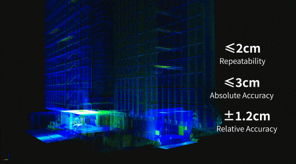

Relative Accuracy

Repeat Accuracy

Absolute Accuracy

Pitch & Roll Accuracy


| Parameter | Value |
|---|---|
| Working Range | 0.5m – 300m |
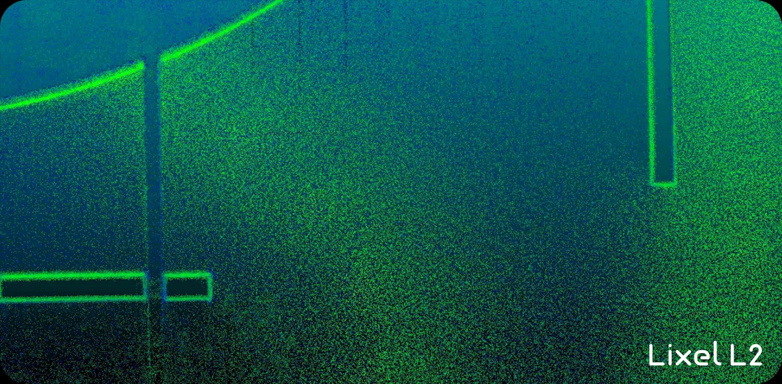
| Laser Class | Class 1/905 nm |
| LiDAR FOV | 360o x 270o |
| Processing Mode | Real-time/Post-Processing |
| Scan Speed | 640,000 points/second |
| Operating Temperature | -20 – 50oC (-4 – 122oF) |
| Power Consumption | < 30w |
| Storage Capacity | 1TB |
| Operating Time | 1.5 hrs |
| Protection Level | IP54 |
| Pitch and Roll Accuracy | <0.015o |
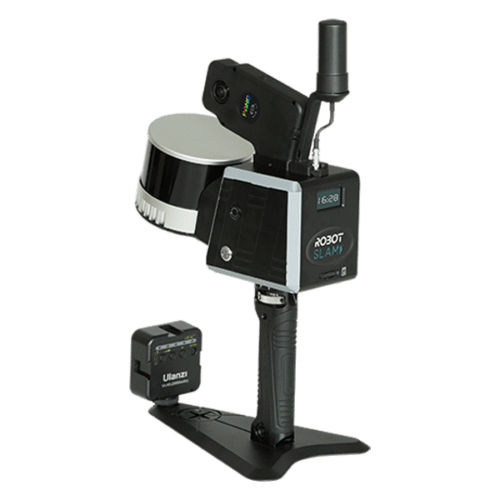
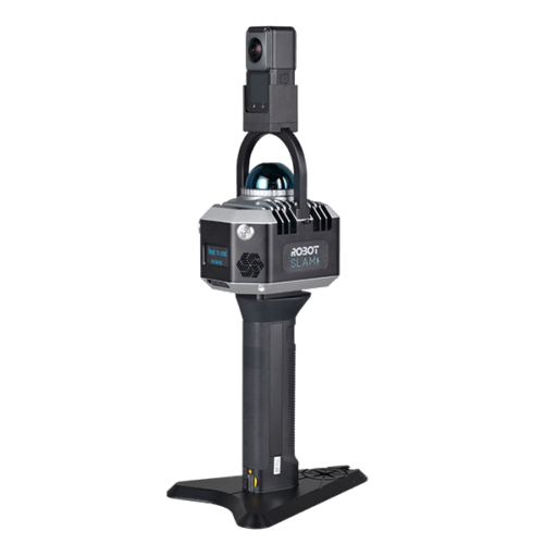
| Number of Cameras | 3 |
| Power Supply | Fast-Lock battery/External Power |
| Handheld Weight | <1.6Kg |
| Visual-Aided Positioning | Supported |
| Real-Time Colored Point-Cloud | Supported |
| 5G Real-Time Transmission | Supported |
| RTK Fusion | Supported |
| Resume Scanning from Breakpoint | Supported |
| Point Cloud Format | .Las |
| Relative Accuracy | +/-1.2cm |
| Relative Accuracy | <3cm |
| Repeat Accuracy | <2cm |
| Battery Capacity | 46.8wh |
| RTK Frequency | BDS: B1l, B2l, B3l
GPS: L1C/A, L2P (Y)/L2C, L5 Glonass: L1, L2 Galileo: E1, E5a, E5b |