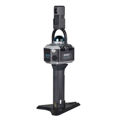

56 MP
360*360 True Panorama

40 Channels, 200,000 points/s
Accuracy 1.2cm
Scanning distance 40m
360° horizontal FOV

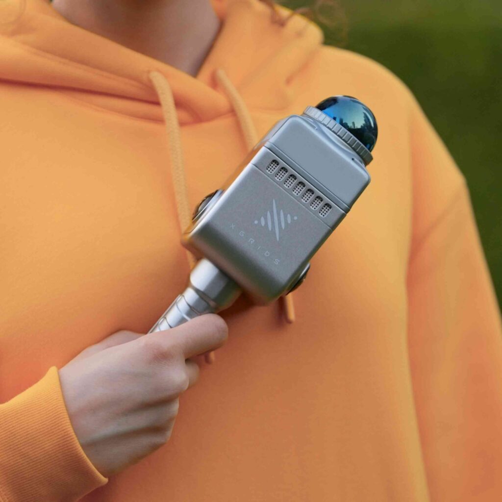
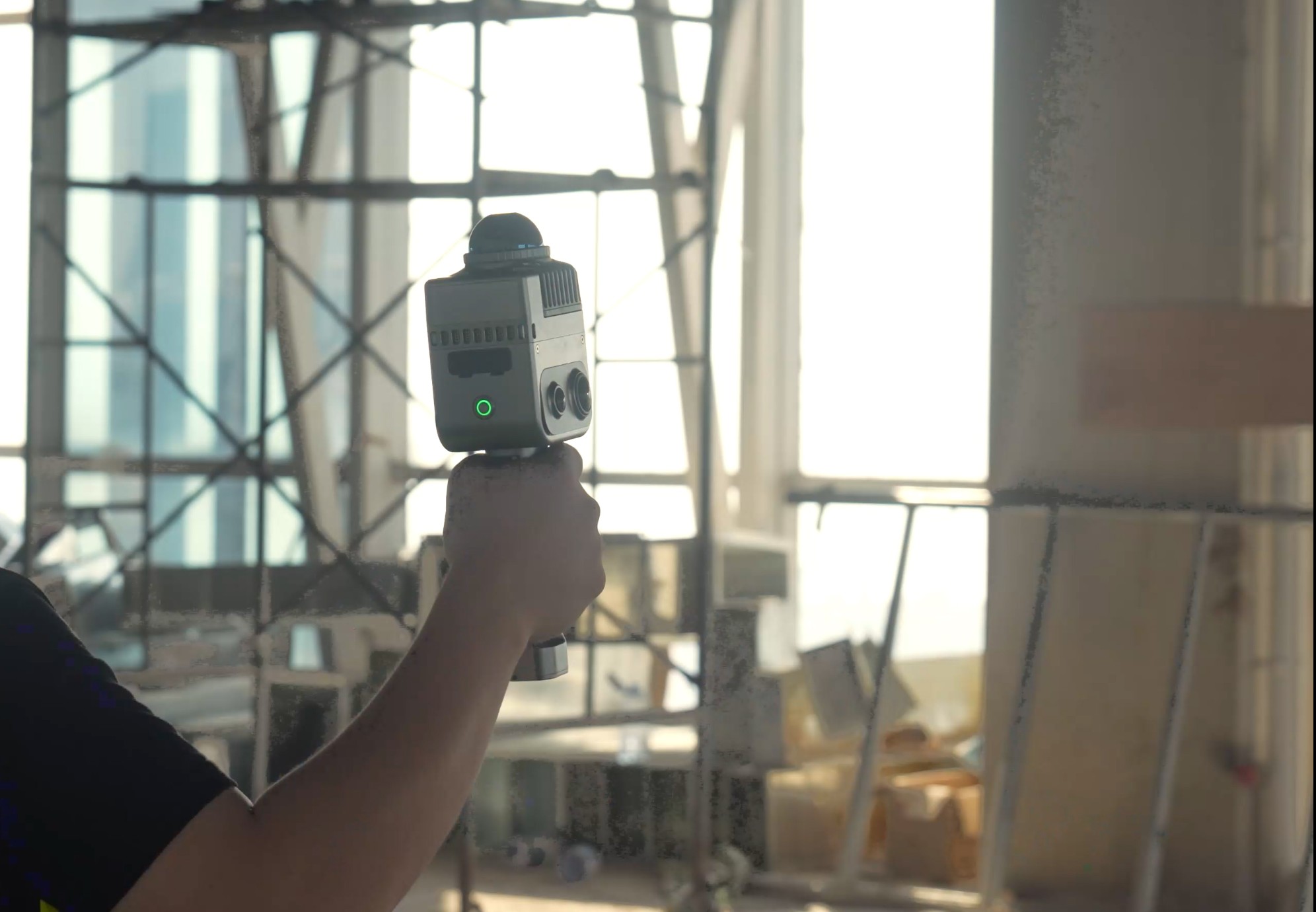
Fast-lock: magnetic buckle


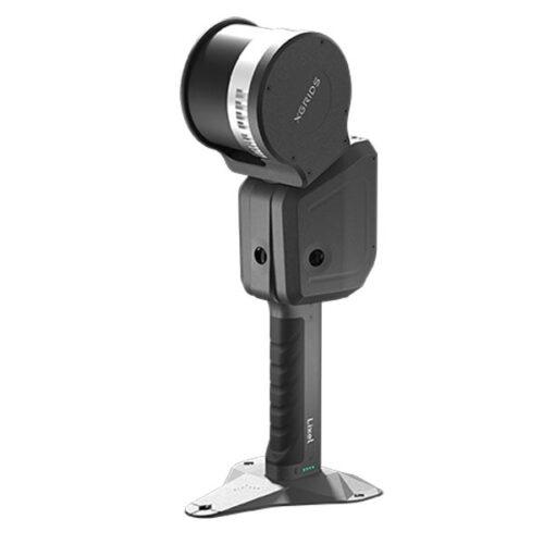
| Parameter | Value |
|---|---|
| Power Input | 14.4V |
| Weight | 1Kg |
| Storage Capacity | TF Card (256 Gb) (replaceable) |
| Operating Temp | -20o – 50oC (-4o – 122oF) |
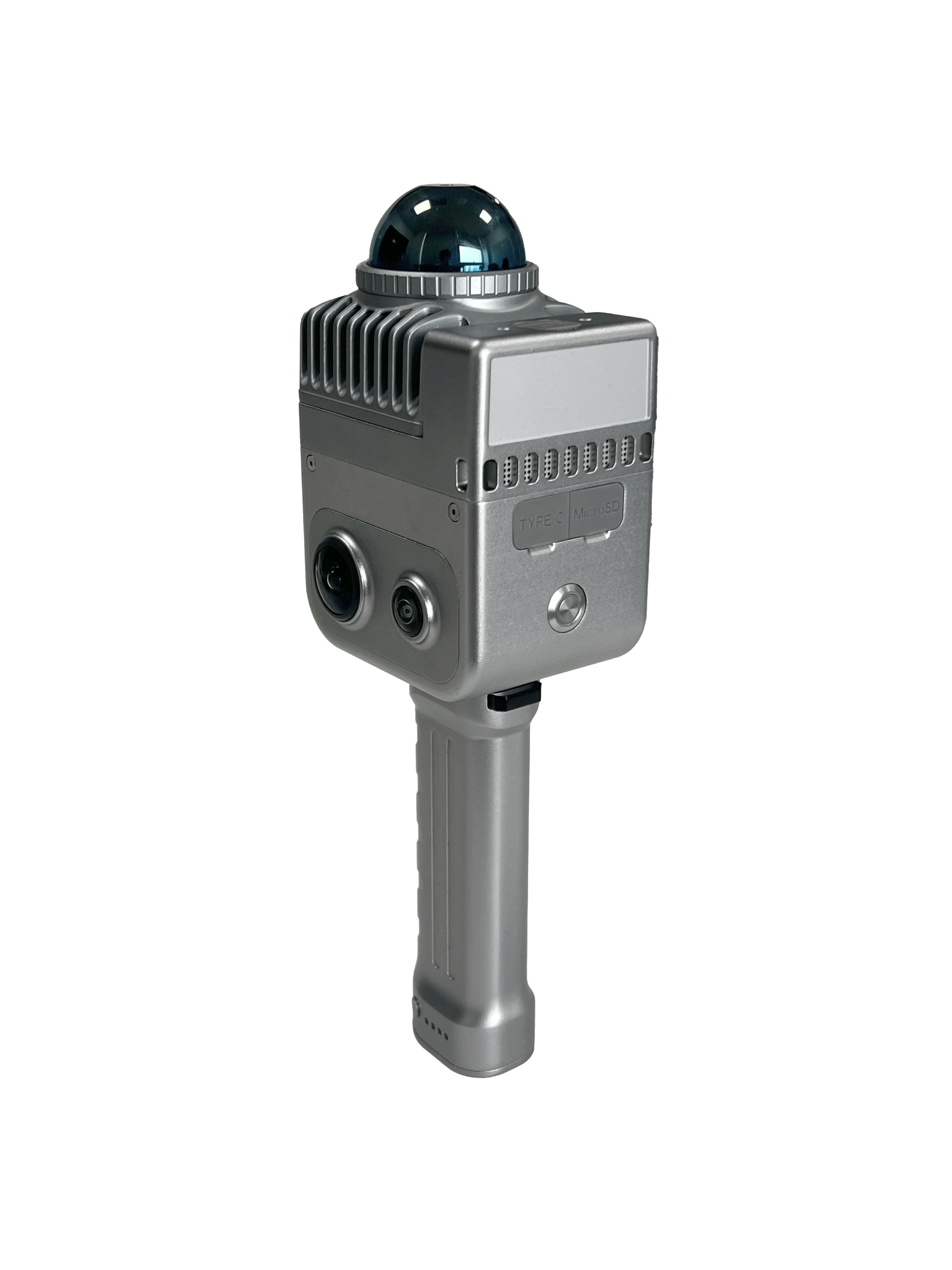
| Product Shell | Navigational Aluminum |
| Operating Time | 1.5 hr |
| Number of Cameras | 4 |
| APP WiFi Distance | 20m (65ft) |
| Power Consumption | < 20W |
| Data Interface | USB 3.1 Gen 2 |
| Connection Mode | WiFi/Bluetooth |
| Protection Level | IP54 |
| Power Supply | Fast-lock battery/External Power |
| Battery Capacity | 28.8 wh |
| Visual-Aid Positioning | Supported |
| RTK Module | Supported |
| Parameter | Value |
|---|---|
| Laser Lines | 40 |
| Relative Accuracy | 1.2cm |
| Repeat Accuracy | 2cm |
| Working Range | |
| 0.1 – 40m @ 10% | |
| 70m @ 80% | |
| Scan Mode | Mobile |
| Resume Scanning from Breakpoint | Supported |
| Laser Class | Class1/905nm |
| Absolute Accuracy | 3cm |
| Horizontal Accuracy | 0.015o |
| LiDAR FOV | 360o *7-+52o |
| Scan Speed | 200,000 points/second |
| Parameter | Value |
|---|---|
| Camera FOV | Color Panorama HDV 360o *360o |
| Camera Resolution | 56 MP |
| Calculating Mode | Real-time calculating/Mixed Calculating |
| Point Cloud Format | .Las |
| Calculating Software | Lixel Studio post-processing software for Windows |
| Cloud point cloud | Supported |
| Parameter | Value |
|---|---|
| K1 Handheld Scanner | 1 |
| Battery | 1 |
| Charger & Converter | 1 |
| Lixel Studio Dongle | 1 |
| Dongle Box | 1 |
| GCP Collection Plate | 1 |
| USB Cable | 1 |
| Product Suitcase | 1 |
| K1 Protective Cover | 1 |
| Transparent Plastic Seal Bag | 1 |
| Shipping Carton Box | 1 |
| 256GB SD Card | 1 |