
Reviews
The Future of Oil & Gas Inspections: DJI Drone Solutions in 2026
Introduction For oil and gas operators, the main hurdle isn’t gathering more data anymore. It’s about getting to the right
Introduction For oil and gas operators, the main hurdle isn’t gathering more data anymore. It’s about getting to the right
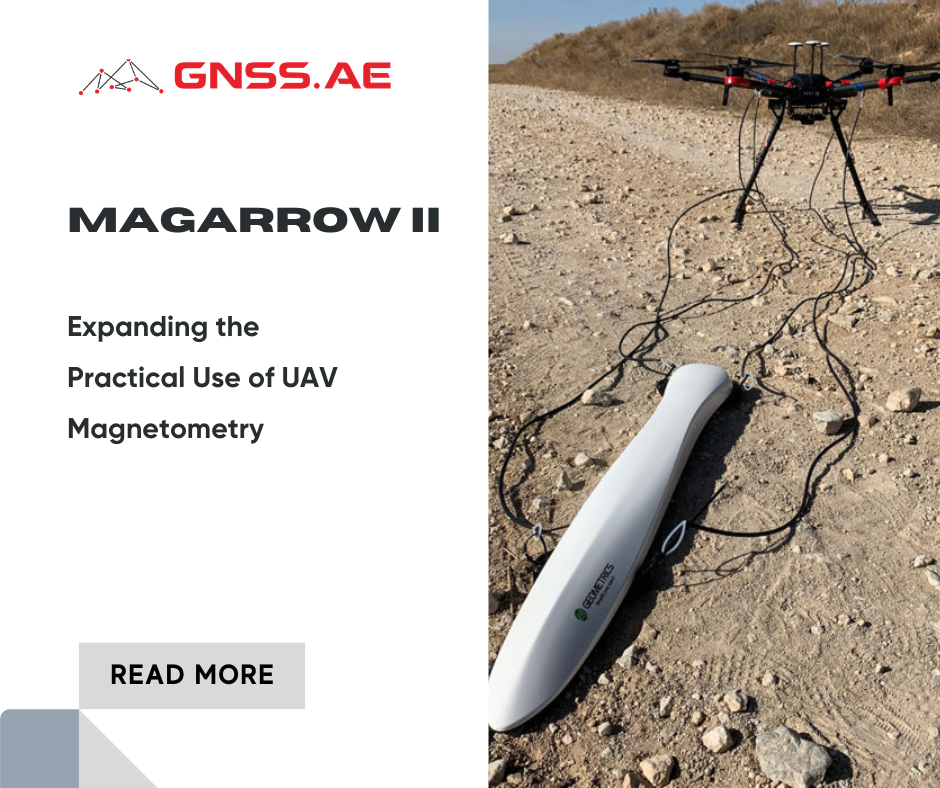
Introduction For many geophysical projects, the main difficulty is not collecting magnetic data but actually getting where you want to
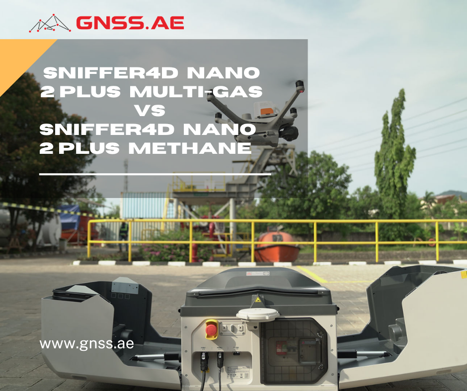
Introduction The application of drone-based gas detection has expanded beyond emergency responders and research initiatives. Today, utility operators, landfill owners,

Introduction As drone delivery technology keeps advancing, the need for smooth coordination and control is becoming just as crucial as
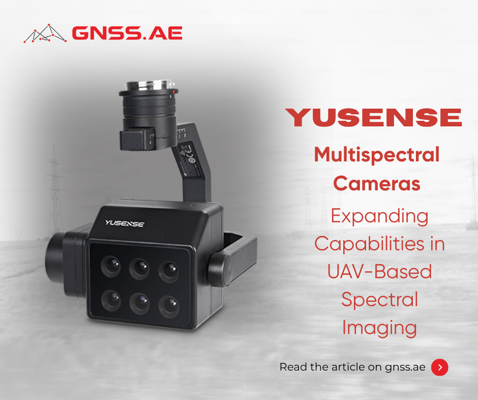
Introduction Multispectral imaging has become an essential part of modern UAV workflows. It allows professionals to go beyond simple visual

Introduction to DJI FlyCart The rapid evolution in drone logistics is reshaping how industries manage cargo delivery, particularly in remote
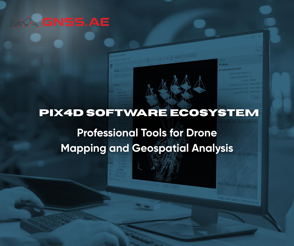
Introduction to Pix4D Pix4D is an established developer of photogrammetry and drone mapping software widely adopted in sectors such as
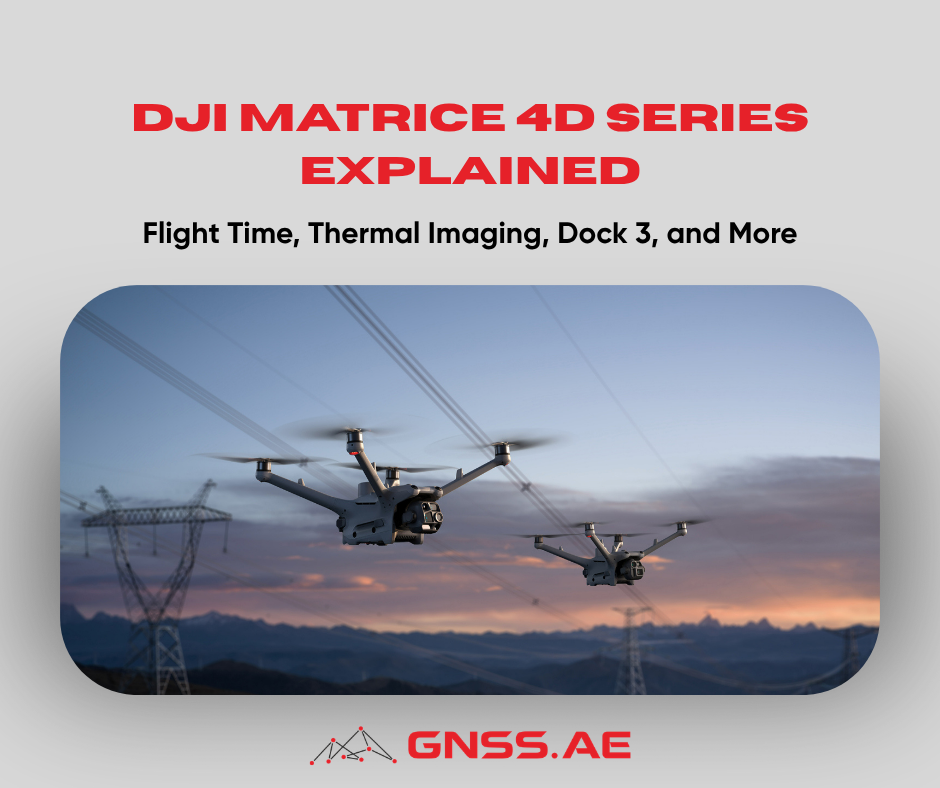
Introduction Enterprise drone programs are changing quickly. Nowadays, inspection teams, emergency responders, surveyors, and utility operators are looking for more

DJI has officially launched DJI FlyCart 100, marking a significant leap forward in heavy-lift cargo drone technology. As the company’s
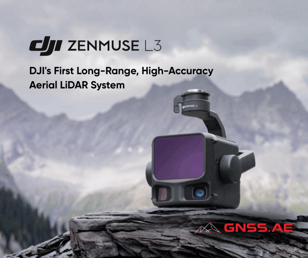
DJI continues to redefine the boundaries of aerial surveying with the launch of DJI Zenmuse L3, its most advanced LiDAR
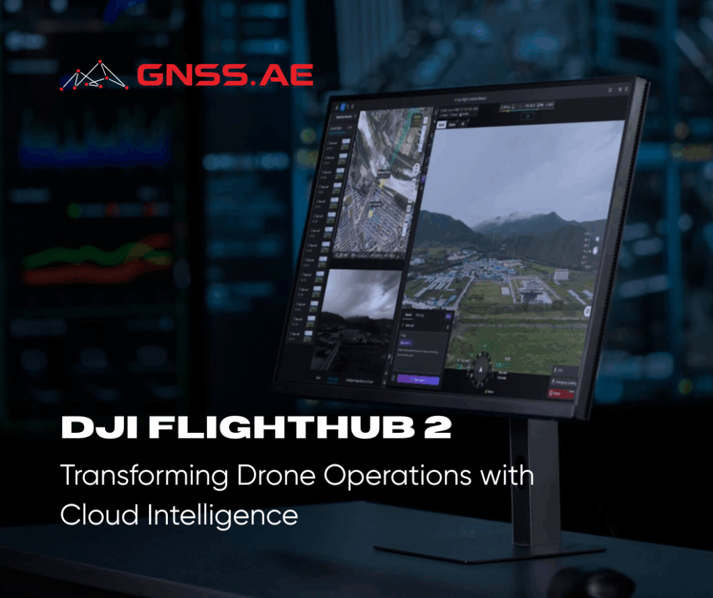
DJI FlightHub 2 represents a major leap forward in drone operations management. By combining intelligent algorithms with a multimodal Large
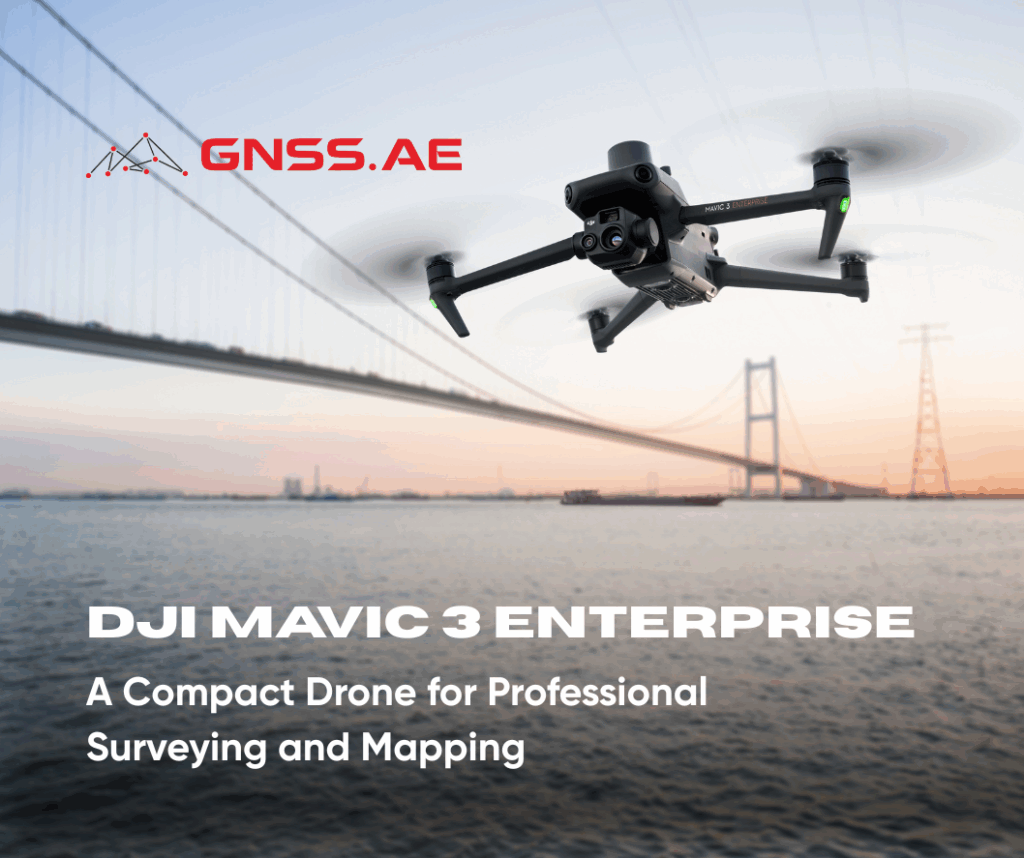
DJI Mavic 3 Enterprise represents the next step in compact drone technology, redefining efficiency in surveying, mapping, and inspection workflows. Engineered
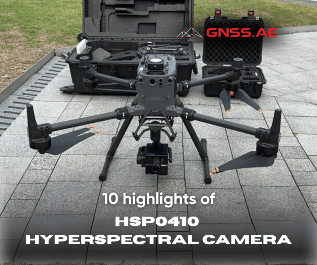
DJI X-Port components are deeply developed and plug-and-play The HSP0410 utilizes a novel optical-mechanical system, resulting in a compact and
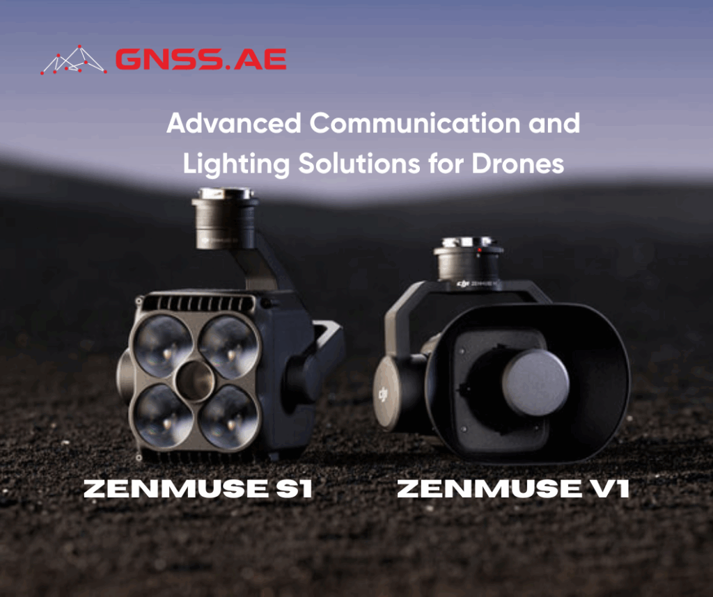
DJI Zenmuse V1 speaker system and S1 spotlight represent significant advancements in drone-mounted auxiliary equipment, engineered specifically for integration with
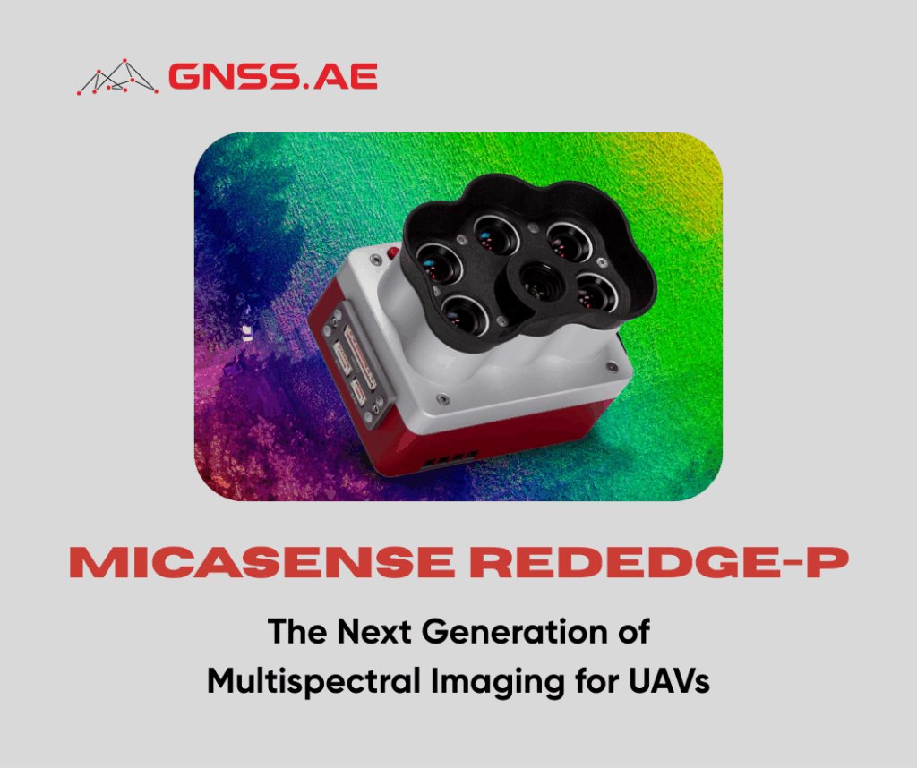
As UAV technology evolves, so too does the ecosystem of advanced sensors and accessories designed to expand their capabilities. In
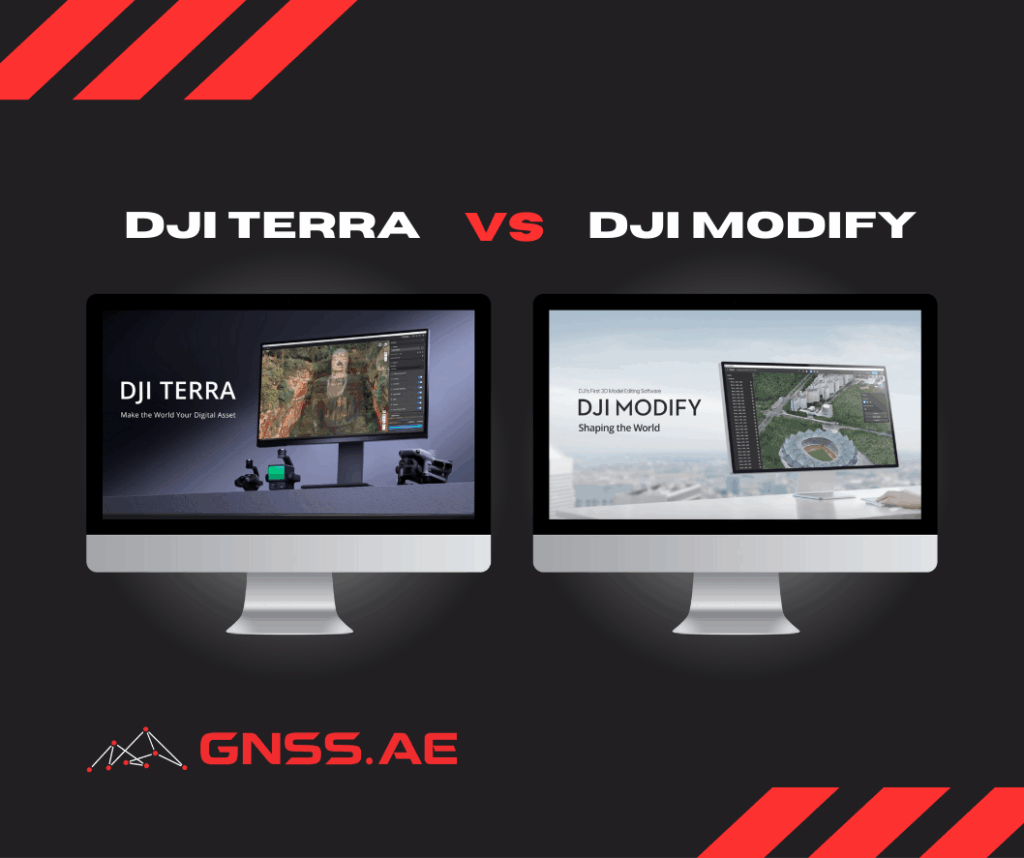
Choosing the right software for drone surveying can be challenging, especially when deciding between DJI Terra and DJI Modify. These
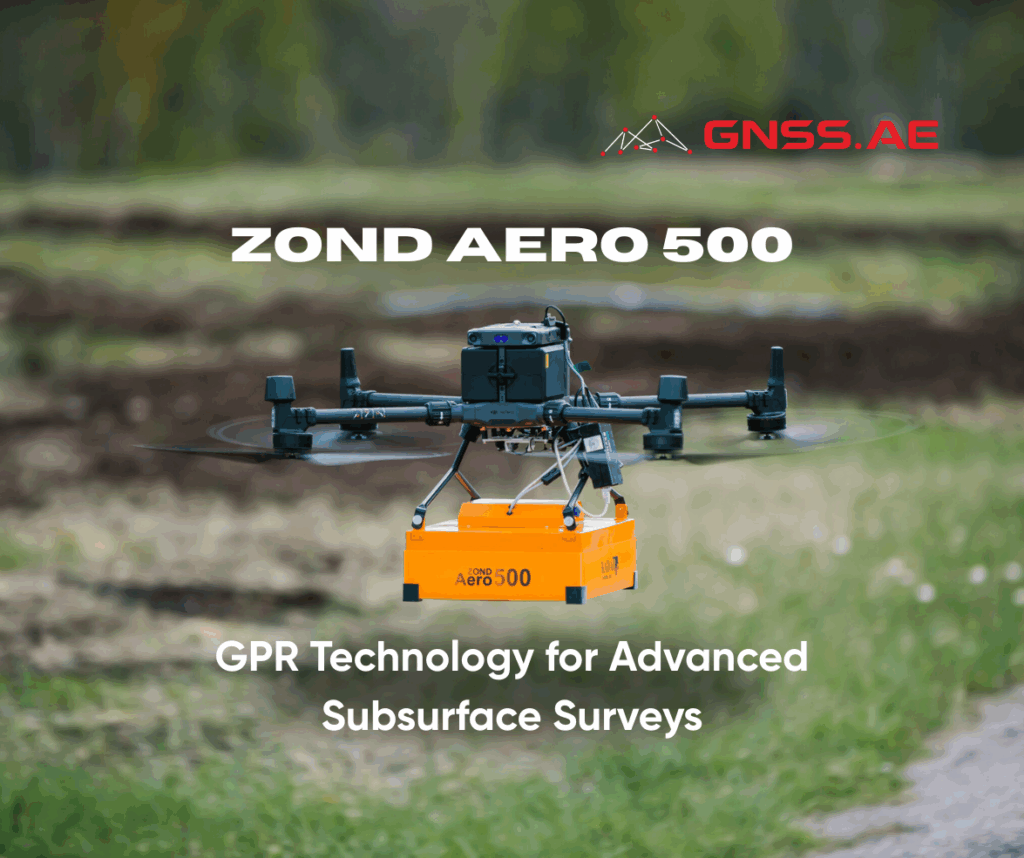
Ground Penetrating Radar has transformed subsurface exploration across multiple industries, enabling professionals to detect underground structures, utilities, and geological features
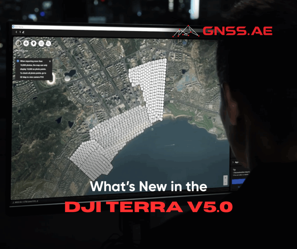
Released July 17, 2025, DJI Terra V5.0 sets a new standard for photogrammetry software with the introduction of 3D Gaussian
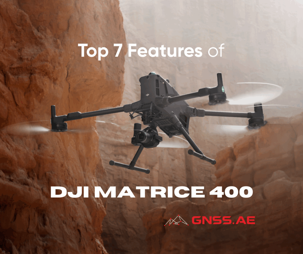
DJI’s latest enterprise drone—DJI Matrice 400—marks a significant milestone for the industrial drone operations. DJI M400 introduces a highly adaptable,
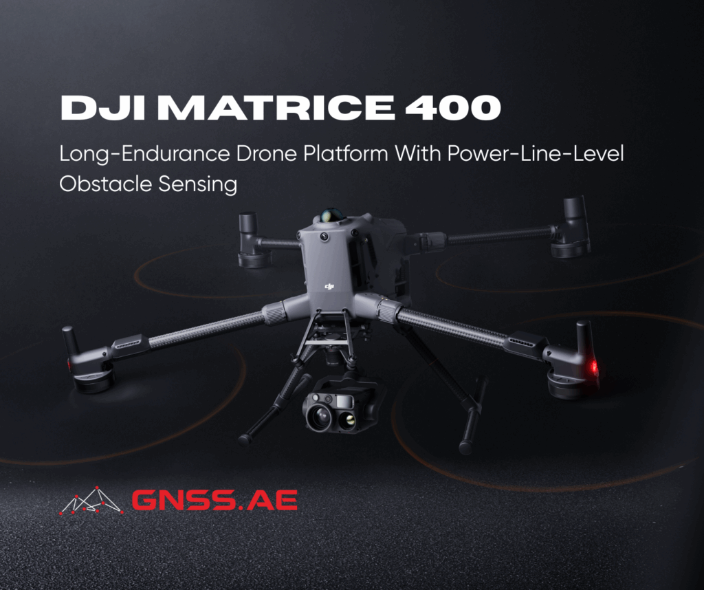
DJI has introduced the DJI Matrice 400, a game-changing heavy lift drone designed to transform enterprise drone operations. Find out
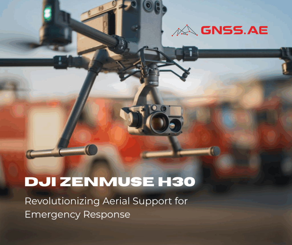
In recent years, drones have increasingly become indispensable tools for public safety operations, enhancing the way emergency teams respond to

Discover the INNO8 GNSS Receiver: SOUTH’s latest 2024 innovation sets new standards in surveying and mapping. Featuring advanced photogrammetry, augmented reality tools, and a cutting-edge IMU for enhanced accuracy, INNO8 redefines efficiency in geospatial workflows. With 1760 channels, Farlink 2.0 support, and seamless integration with SurvStar software, this next-generation receiver is built for professionals who demand precision and performance in challenging environment

Sniffer4D: Revolutionizing Air Monitoring with Cutting-Edge Drone Technology Introduction In recent years, drones have rapidly transformed from niche technology into