Global Navigation Satellite Systems (GNSS) play a fundamental role in enabling accurate positioning, navigation, and timing across a wide range of applications — from surveying and geospatial mapping to precision agriculture and autonomous systems. Yet, users operating along the equator encounter unique environmental and spatial challenges that can significantly degrade positioning accuracy.
This article examines the key factors that complicate GNSS performance in equatorial regions and outlines effective mitigation strategies to ensure reliable, high-precision results.
The equatorial region is characterized by intense ionospheric activity, especially due to the Equatorial Ionospheric Anomaly (EIA) — a belt of irregular electron density distribution that fluctuates during the day. These fluctuations cause phase scintillation, signal delay, and even temporary loss of lock, resulting in positioning errors.
As noted by Mulindwa (2023), the EIA introduces “irregular electron density distribution, causing significant delays and errors in signal propagation.” For real-time GNSS applications such as RTK surveying or drone-based mapping, this can translate into centimeter-level deviations or complete data dropouts during peak solar activity periods.
At equatorial latitudes, the geometric distribution of satellites often leads to lower elevation angles and shorter visibility periods. Signals arriving from near the horizon are more prone to attenuation and atmospheric delay, increasing positioning uncertainty. Additionally, the lower number of high-elevation satellites limits redundancy, which can compromise the precision of computed positions.
Urban environments, dense vegetation, and reflective water surfaces — all common in tropical equatorial zones — exacerbate multipath interference. When GNSS signals bounce off nearby objects before reaching the receiver antenna, they introduce time delays and distortions. This is one of the most persistent sources of positioning error in equatorial cities and coastal zones.
Despite these inherent challenges, several technical and operational strategies can significantly improve positioning performance in equatorial conditions.
Using advanced correction techniques such as Real-Time Kinematic (RTK) and Precise Point Positioning (PPP) helps reduce ionospheric and atmospheric errors. These methods rely on reference stations or precise satellite orbit and clock data to correct the positioning solution in real time.
When implemented through reliable networks, differential correction systems can deliver centimeter-level accuracy — even in challenging ionospheric conditions.
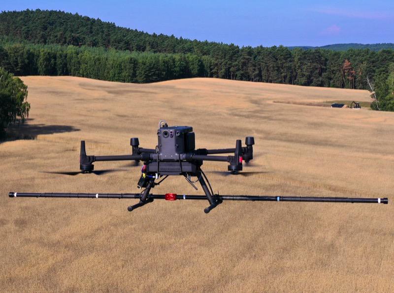
DJI D-RTK 3 utilizes proprietary PPP solution, enabling satellite-based auto convergence.
Modern GNSS receivers capable of tracking multiple satellite constellations (GPS, Galileo, GLONASS, BeiDou) across several frequency bands offer clear advantages in equatorial regions. Multi-frequency measurements allow users to directly model and correct for ionospheric delays, while multi-constellation tracking increases the number of visible satellites, improving positional geometry.
At GNSS.AE, we offer range of RTK GNSS receivers that support full-constellation, multi-frequency capabilities, enabling faster signal acquisition and reliable RTK initialization — essential for high-accuracy applications in equatorial environments.
Proper antenna setup remains one of the simplest yet most effective countermeasures to multipath interference. Conducting a pre-deployment site survey helps identify potential reflective surfaces or obstructions. Where possible, antennas should be mounted in open areas, elevated from reflective materials, and equipped with ground planes or choke rings to suppress unwanted reflections.
Integrating ionospheric models or utilizing real-time ionospheric monitoring services enhances the resilience of GNSS operations. Regional augmentation systems and continuously operating reference networks (CORS) in equatorial zones provide valuable correction data that can help mitigate local disturbances.
Operating GNSS systems along the equator presents distinctive technical challenges arising from ionospheric irregularities, suboptimal satellite geometry, and pervasive multipath effects. However, through the adoption of differential correction techniques, multi-constellation receivers, careful antenna deployment, and ionospheric monitoring tools, users can achieve high levels of positioning accuracy and operational reliability.
As GNSS technologies continue to advance, particularly with innovations in multi-frequency receivers and real-time correction networks, users in equatorial regions are increasingly able to overcome these traditional limitations — unlocking new opportunities for geospatial, agricultural, and infrastructure applications across the tropics.
Note: Insights adapted from Mulindwa, D. (December 25, 2023), “Challenges of GNSS Positioning Along the Equator and Mitigation Strategies for Users”.