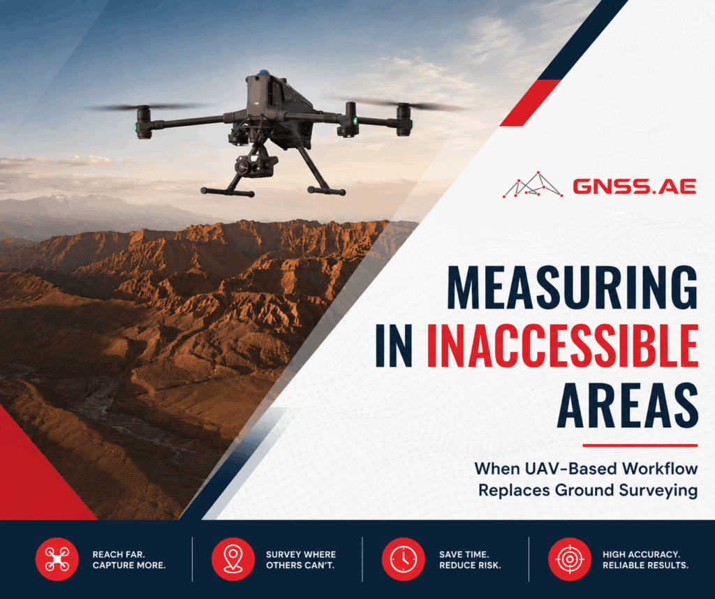
Imagine trying to conduct a survey when the ground beneath you is shifting. That’s the reality on unstable coastal slopes, quarry edges, marshlands, or areas that have recently collapsed. The problem here is no longer how to measure faster. The problem is how to measure at all without sending crews into dangerous areas
In this article, we will look at the main challenges of surveying inaccessible and hazardous environments, where conventional ground methods start reaching their limits, and how modern UAV photogrammetry, LiDAR, GNSS, and aerial mapping workflows help survey teams collect accurate spatial data safely and efficiently.

Traditional survey methods still work well for most projects. But to access challenging terrain, traditional field workflows may not be optimal. These environments may include:
These conditions are often not a question of survey accuracy, but of safe access and efficient field operations.
Thick vegetation can hide important terrain features, while steep or unstable surfaces can make it hard to move around and set up equipment. Wetlands and soft ground not only pose safety risks but also slow down fieldwork significantly. In larger or more hazardous areas, gathering enough topographic points with traditional methods can take a lot of time and manpower. As infrastructure, mining, and environmental monitoring projects push further into these challenging terrains, these limitations become even more critical.

UAV photogrammetry has become one of the most widely used methods for aerial mapping and terrain reconstruction. For open terrain, stockpile measurements, quarry mapping, construction monitoring, and corridor surveys, photogrammetry provides fast data acquisition and highly detailed visual models.
However, inaccessible environments often introduce conditions (e.g., vegetation covering terrain deformation, shadowed cliff areas, etc.), where photogrammetry alone becomes less reliable.
Unlike photogrammetry, LiDAR can actively measure the distance between sensor and ground with laser pulses and can penetrate above ground vegetation layers to construct bare-earth terrain models. Multi-return scanning allows the system to distinguish between vegetation and actual ground surface and can thus demonstrate terrain features which would otherwise be hidden in image-derived models, or require additional information to interpret.
Rather than replacing photogrammetry, LiDAR complements it in areas where conventional aerial imagery reaches its practical limitations.

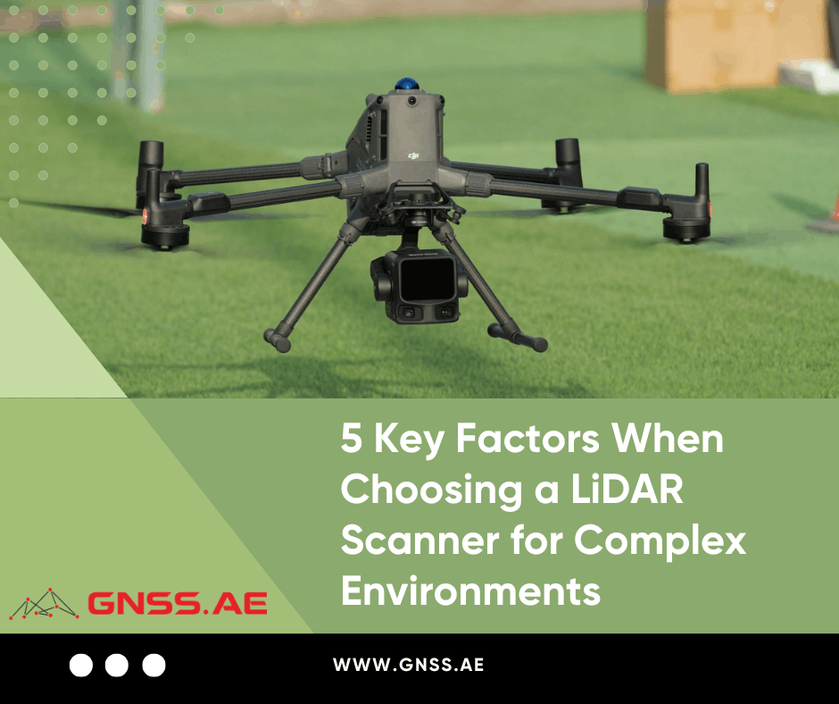
The effectiveness of UAV surveying in hazardous terrain depends heavily on the right combination of UAV platforms, sensors, GNSS positioning, and processing software.
Product | Role in Workflow | How It Optimizes the Process |
UAV platform for large-scale mapping and LiDAR missions | Supports stable long-duration flights in complex terrain, carries heavier payloads, and improves operational efficiency for corridor, quarry, and slope monitoring projects | |
UAV LiDAR payload | Penetrates vegetation to generate accurate bare-earth models, captures dense point clouds, and improves terrain visibility in landslide or forested areas | |
SOUTH GNSS RTK receivers | Ground control and positioning | Improve georeferencing accuracy for UAV datasets and reduce the need for repeated field measurements |
GreenValley International LiDAR processing solutions | Point cloud classification and terrain extraction | Accelerate classification of vegetation, ground, and structures while improving usability of dense LiDAR datasets |
UgCS flight planning software | Mission planning and terrain-following flights | Allows safer route planning in mountainous or inaccessible environments and improves coverage consistency |
Bentley Systems reality modeling software | Engineering modeling and deliverables | Converts UAV data into engineering-ready terrain models, digital twins, and infrastructure datasets |
The key point is that modern UAV surveying is no longer based on a single drone or sensor. Reliable inaccessible-area mapping depends on a complete ecosystem combining aerial acquisition, GNSS positioning, and post-processing workflows.
In inaccessible terrain, a single aerial survey rarely provides the full picture.
Slope instability, erosion, excavation activity, and terrain deformation are dynamic processes that develop over time. To identify movement patterns accurately, survey teams increasingly rely on repeated UAV flights performed at regular intervals and compared against previous datasets.
This multi-temporal approach allows engineers and surveyors to detect subtle terrain changes, measure deformation trends, and monitor how hazardous areas evolve over days, months, or even years.
In practice, this means survey teams can compare multiple point clouds, digital terrain models, and orthomosaics to identify where terrain displacement, material loss, or surface deformation is accelerating.
This workflow is particularly important in:
Modern UAV photogrammetry and LiDAR workflows make this process significantly more practical by allowing repeatable flight paths, consistent data acquisition, and large-scale terrain coverage with reduced field exposure.
Instead of relying on isolated measurements, surveyors can build continuous datasets that reveal long-term terrain behavior and emerging risk patterns over time.
This is especially critical in dynamic environments where conditions evolve continuously and single-pass data is not sufficient for decision-making. A similar principle applies in agriculture, where repeat UAV-based monitoring plays a key role in identifying early-stage vegetation changes and stress indicators in crops. We explored this topic in more detail in our previous article Early Crop Stress Detection: How Soon Can UAV Data Reveal Problems.
A good example of how UAV LiDAR works in real inaccessible environments comes from a recent DJI Enterprise geological monitoring project on the Cantabrian coast of northern Spain.
The area is known for unstable Jurassic cliffs that have shown signs of progressive movement for decades. In one of the monitored zones near the Tazones lighthouse, specialists identified active terrain deformation affecting tens of thousands of square meters. The site included complex slope movement, rockfalls, material displacement, and rapidly expanding cracks across the hillside.
One of the main challenges was dense vegetation, which obscured critical terrain features and made direct field inspection both difficult and potentially unsafe.
To improve terrain visibility and monitoring accuracy, specialists combined UAV surveying, geomechanical analysis, and aerial LiDAR scanning to create a dynamic 4D model of the terrain’s evolution over time.
The workflow used the DJI Matrice 400 platform equipped with the DJI Zenmuse L3 LiDAR payload. Unlike conventional photogrammetry, the LiDAR system was able to penetrate vegetation and generate detailed bare-earth terrain models beneath tree and shrub cover.
This allowed survey teams to identify hidden cracks, scarps, and deformation zones that were difficult to detect using optical imagery alone. The comparison between photogrammetric and LiDAR-based models showed significantly improved terrain visibility and surface definition in vegetation-covered areas.
The project demonstrates how modern UAV LiDAR workflows help survey teams monitor hazardous terrain more safely while improving the completeness and reliability of spatial data collected in difficult environments.
Modern UAV photogrammetry and LiDAR workflows are rapidly changing the way survey teams work in inaccessible and hazardous environments. From slope monitoring and quarry mapping to erosion assessment and infrastructure inspection, aerial surveying helps reduce field exposure, accelerate data collection, and improve terrain visibility in areas where conventional methods become inefficient or unsafe.
At the same time, achieving reliable and accurate results depends not only on using a drone, but on building the right workflow as a whole. UAV platform selection, LiDAR payloads, GNSS positioning, flight planning software, and post-processing solutions all play a critical role in the quality and consistency of the final data.
Choosing the right combination of equipment and software is what ultimately determines how efficient, accurate, and scalable the surveying process will be.
At GNSS.AE, we help professionals build UAV surveying workflows tailored to real operational challenges — from aerial mapping and LiDAR integration to GNSS positioning and data processing solutions for demanding field environments.