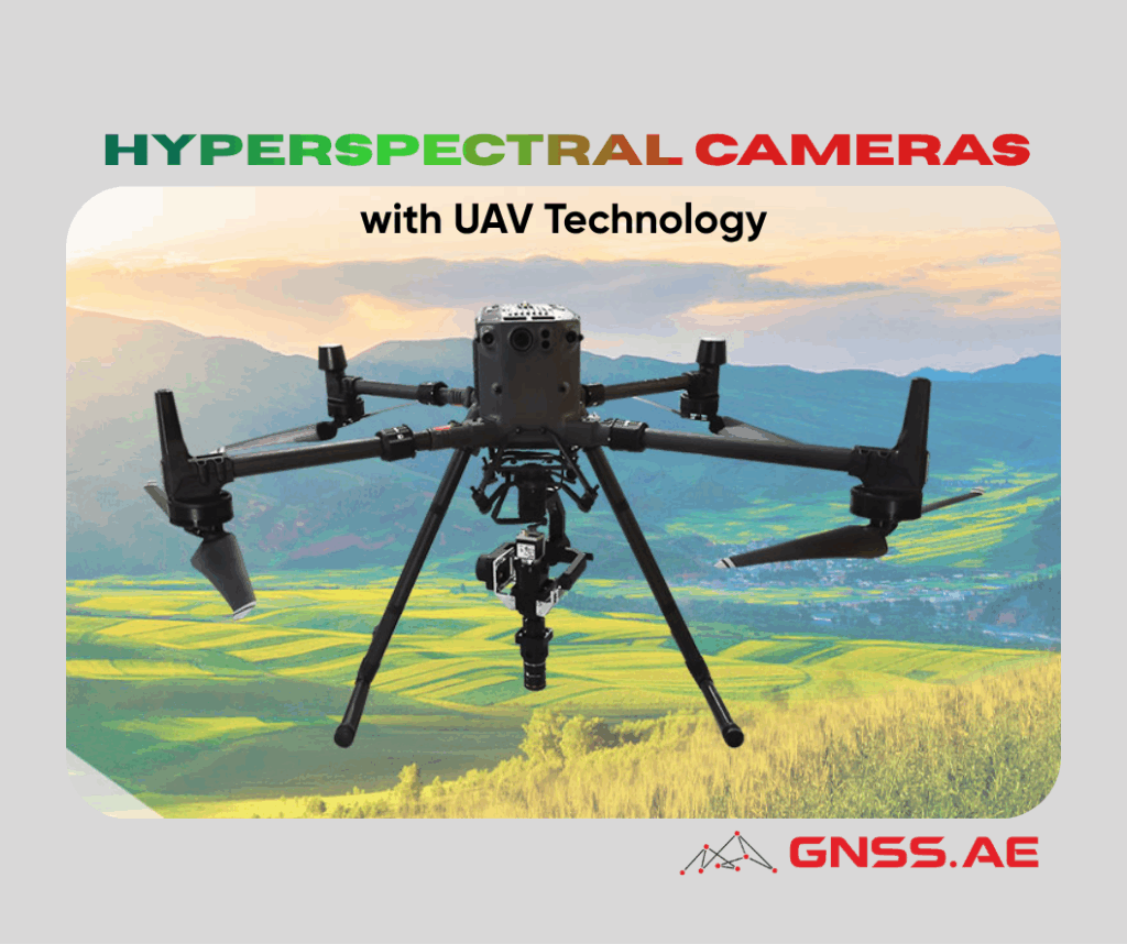
The integration of hyperspectral imaging technology with unmanned aerial vehicle (UAV) systems represents a groundbreaking advancement in environmental and geological monitoring. This powerful combination harnesses the detailed spectral analysis capabilities of hyperspectral cameras with the mobility and efficiency of drone platforms, creating unprecedented opportunities for precision monitoring across diverse applications.
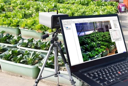
As discussed in our previous article, hyperspectral remote sensing combines two fundamental capabilities: imaging and spectroscopy. Hyperspectral imaging operates by capturing continuous narrow-band images across multiple wavelengths, measuring reflection and radiation characteristics to generate detailed spectral signature curves. Unlike conventional cameras that capture three color bands (red, green, blue), hyperspectral cameras collect data across hundreds of spectral bands, revealing the physical and chemical composition of target objects.

For organizations evaluating whether hyperspectral technology is the right choice for their applications, our detailed comparison guide Multispectral vs Hyperspectral Imaging: How to Choose the Right Technology provides comprehensive insights into the distinctions, advantages, and optimal use cases for each technology.
High Spectral Resolution: The technology distinguishes subtle spectral differences invisible to the human eye, enabling precise identification of materials, substances, and conditions.
Multi-Band Intelligence: By analyzing dozens to hundreds of spectral bands simultaneously, these systems extract comprehensive information about environmental targets.
Spatial-Spectral Integration: Hyperspectral cameras combine location data with spectral characteristics, providing both the “where” and “what” of monitoring targets.
Non-Invasive Measurement: Monitoring occurs remotely without physical contact, preserving the integrity of sensitive environments.
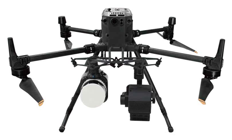
When mounted on UAV platforms, hyperspectral cameras gain remarkable operational advantages. Modern drones can navigate complex terrain and weather conditions, following predetermined flight paths while collecting high-precision spectral data. Advanced systems feature intelligent path planning and dynamic obstacle avoidance, ensuring safe and efficient data collection operations.
Automated UAV nest systems have further enhanced operational continuity. These sophisticated hangars serve as autonomous hubs where drones land, swap batteries automatically, and redeploy for subsequent missions with minimal human intervention, dramatically improving monitoring efficiency and coverage.
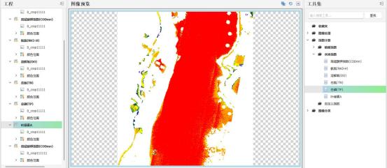
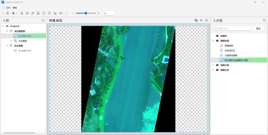
Hyperspectral UAV systems excel at detecting water pollutants including heavy metals, organic compounds, and excess nutrients. Each contaminant produces unique spectral signatures at specific wavelengths, enabling accurate identification and concentration mapping. The technology also monitors algae distribution and growth patterns in real-time, providing early warning of harmful algal blooms while assessing key water quality parameters such as transparency, turbidity, and dissolved oxygen levels.
These systems track atmospheric pollutants including sulfur dioxide, nitrogen oxides, and ozone, mapping their concentration distribution and temporal changes. They identify different aerosol types and monitor their impact on air quality and climate. Additionally, they measure greenhouse gas concentrations, including carbon dioxide and methane, supporting climate change research and mitigation efforts.
By analyzing vegetation spectral characteristics, hyperspectral UAVs accurately calculate coverage and assess ecosystem health. The technology identifies different species through their unique spectral signatures, supporting biodiversity conservation efforts. It also rapidly detects land use changes, helping authorities identify illegal development and environmental degradation.
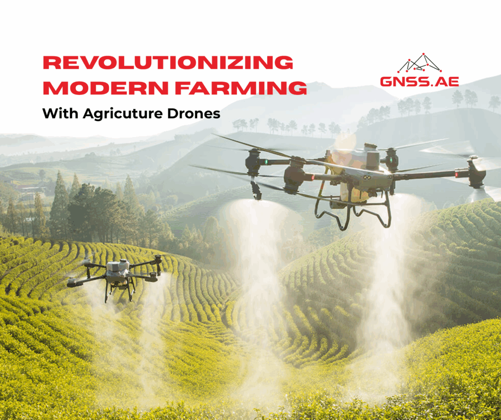
In precision agriculture, hyperspectral UAV systems function as intelligent agronomists. By monitoring vegetation indices, they identify nutrient deficiencies and pest infestations before visible symptoms appear. Advanced systems provide targeted recommendations for fertilization, irrigation, and pest control based on integrated algorithms, helping farmers optimize yields while minimizing resource inputs.
These systems serve as comprehensive forest guardians, conducting rapid inspections across vast wooded areas. Through spectral analysis, they detect early signs of pest infestations, diseases, and fire hazards. Early detection enables timely intervention, preventing the spread of threats and protecting valuable forest resources.
Hyperspectral technology rapidly identifies minerals through their distinctive spectral fingerprints, distinguishing between iron ore, copper ore, and other valuable resources. The systems generate detailed mineral distribution maps and support reserve assessments, providing critical data for exploration and resource planning.
The technology monitors subtle spectral changes that precede landslides, identifies debris flow patterns during events, and tracks ground subsidence, supporting disaster prevention and urban planning initiatives.
Precision and Detail: Hyperspectral systems deliver comprehensive spectral information enabling highly accurate analysis of environmental and geological targets.
Wide Area Coverage: UAV platforms rapidly survey extensive regions, dramatically improving monitoring efficiency compared to ground-based methods.
Real-Time Capabilities: The technology provides immediate feedback on environmental changes, supporting rapid response to emerging issues.
Operational Flexibility: Automated systems maintain continuous monitoring schedules with minimal human supervision.

Data Complexity: The massive data volumes generated by hyperspectral imaging require sophisticated software and specialized algorithms for processing and interpretation.
Environmental Sensitivity: Weather conditions and lighting variations can affect data quality, requiring careful flight planning and calibration procedures.
Equipment Investment: Advanced hyperspectral cameras and UAV systems represent significant capital expenditures, though costs continue to decline as technology matures.
Several advanced systems are currently available that exemplify the capabilities of integrated hyperspectral-UAV technology:
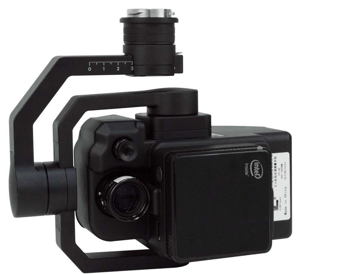
CHN FS60-C Airborne Hyperspectral Camera
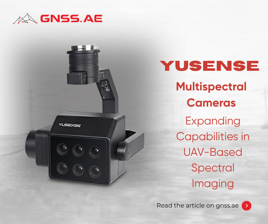
The FS60-C represents a new generation of drone-mounted hyperspectral cameras designed for versatility and precision. Compatible with DJI M350/M300RTK flight platforms, this system addresses diverse application needs across multiple industries. Its capabilities span geological and mineral resource surveys, precision agriculture, crop growth and yield assessment, forest pest monitoring and fire prevention, coastline and marine environment monitoring, grassland productivity assessment, lake and watershed environment monitoring, and remote sensing research. The system also supports meteorological studies, ecological environment protection, mine environment monitoring, water quality testing, soil analysis, agricultural product quality assessment, defense and homeland security applications, and disaster prevention initiatives.
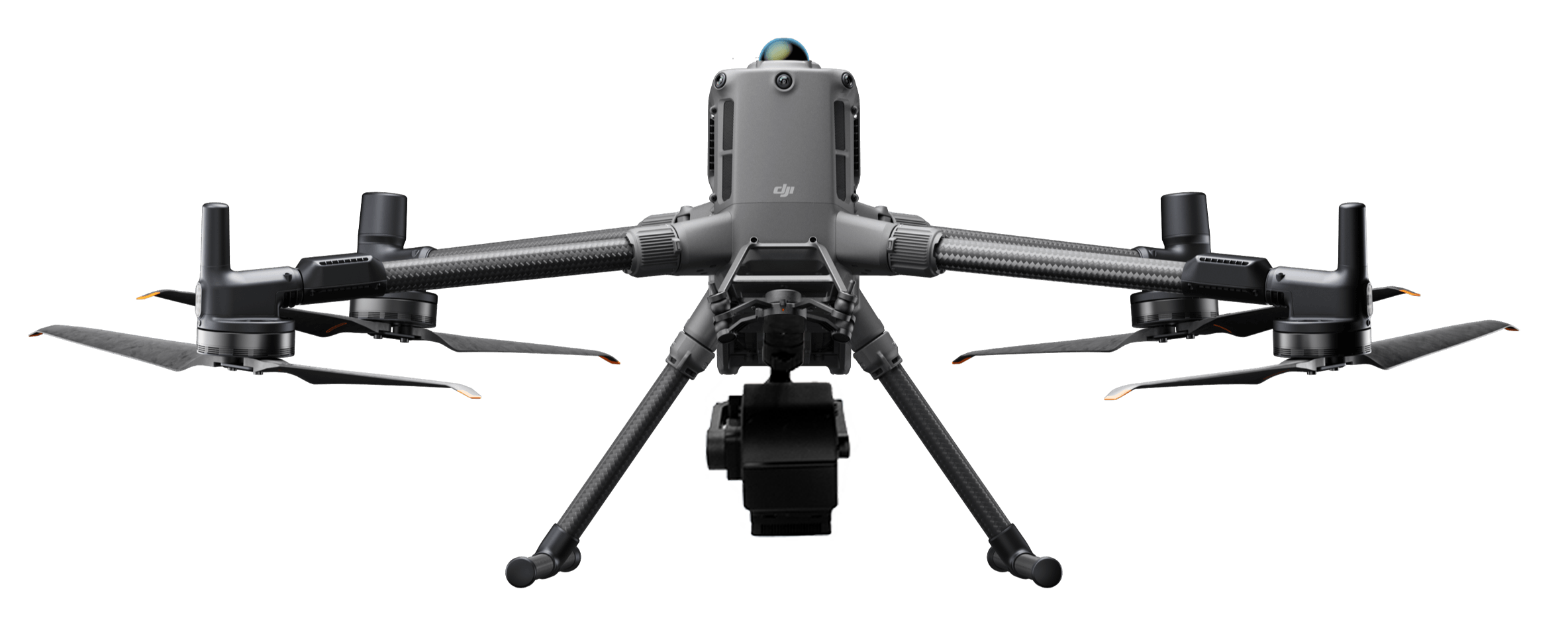
CHN FS60-UC UAV Hyperspectral Measurement System
This comprehensive system leverages the DJI M350/300RTK as its flight platform and features an ultra-high-speed spectral scanning imaging device with exceptional signal-to-noise ratios for stable spectral image acquisition. The system incorporates self-developed image processing algorithms optimized for high efficiency and low power consumption, significantly extending flight time while reducing overall system power requirements.
The FS60-UC excels at real-time measurement of spectral image information from plants, water bodies, soil, and other ground features, making it ideal for precision agriculture, crop assessment, forest health monitoring, coastal and marine environment studies, and watershed monitoring applications. Its compact design houses an imaging spectrometer with spectral resolution reaching 2.5nm.
The complete system includes a high-stability head, hyperspectral camera, embedded data acquisition and processing unit, storage system, wireless image transmission, GPS-RTK navigation, ground receiving workstation, ground control system, and reflectivity calibration board.
CHN FS60-UCR Lidar UAV Hyperspectral System
CHN FS60-UCR series represents the cutting edge of multifunctional UAV detection technology, integrating both lidar and hyperspectral imaging capabilities into a single platform. This innovative fusion enables simultaneous acquisition of lidar point cloud data and hyperspectral imagery, providing complementary datasets that enhance analytical capabilities. The combination of precise three-dimensional structural information from lidar with detailed spectral characteristics from hyperspectral imaging creates powerful synergies for complex monitoring applications, from forest canopy analysis to detailed terrain mapping with material identification.
The convergence of multiple technological trends promises to expand the capabilities and accessibility of hyperspectral UAV systems. Continued sensor development will enhance resolution and accuracy while artificial intelligence and machine learning enable automated analysis and intelligent decision support. Integration with satellite remote sensing and ground-based monitoring creates comprehensive, multi-scale environmental observation networks.
As equipment costs decrease and technology becomes more accessible, hyperspectral UAV systems will see broader adoption across industries and applications. Enhanced algorithms and intelligent systems will support autonomous operation and real-time decision-making, while expanded applications will emerge in fields such as urban planning, infrastructure inspection, and disaster response.
Hyperspectral cameras integrated with UAV technology represent a transformative advancement in environmental and geological monitoring. By combining detailed spectral analysis with efficient aerial platforms, these systems provide unprecedented insights into ecosystem health, resource distribution, and environmental quality. As technology continues to evolve and costs decline, hyperspectral UAV systems will play an increasingly vital role in protecting natural resources, supporting sustainable development, and safeguarding our environmental future.