Geographic Information Systems (GIS) have evolved far beyond their traditional role as tools for mapping and visualizing spatial data. Today GIS is increasingly integrated into engineering, infrastructure planning, asset management, remote sensing, BIM and Digital Twin workflows, providing organizations with a more comprehensive understanding of the built and natural environment.
To explore how these technologies are being applied in modern projects, we spoke with Naseem Latif, GIS Senior Data Analyst at Khatib & Alami in Saudi Arabia, about the practical role of GIS in infrastructure and engineering workflows. In this interview, he shares how GIS, BIM, Digital Twins, geodatabase modeling and spatial analysis are being used to support more efficient and informed project delivery.
According to Naseem, one of the most significant changes in GIS has been its evolution from a primarily mapping and visualization tool into a platform that supports project planning, engineering, analysis and asset management.
In large infrastructure projects, GIS can now contribute throughout the entire project lifecycle, beginning with the collection and management of spatial data and extending into design, construction, and operations.
“The biggest change I have noticed is the move toward 3D GIS, real-time data, cloud platforms, automation, and integration with BIM,” says Naseem. Rather than simply showing the location of an asset, modern GIS can provide a broader understanding of the asset itself, its surrounding environment, its relationships with other infrastructure and how those relationships change.
This shift makes GIS an important component of digital engineering workflows, particularly as projects become increasingly data-driven.
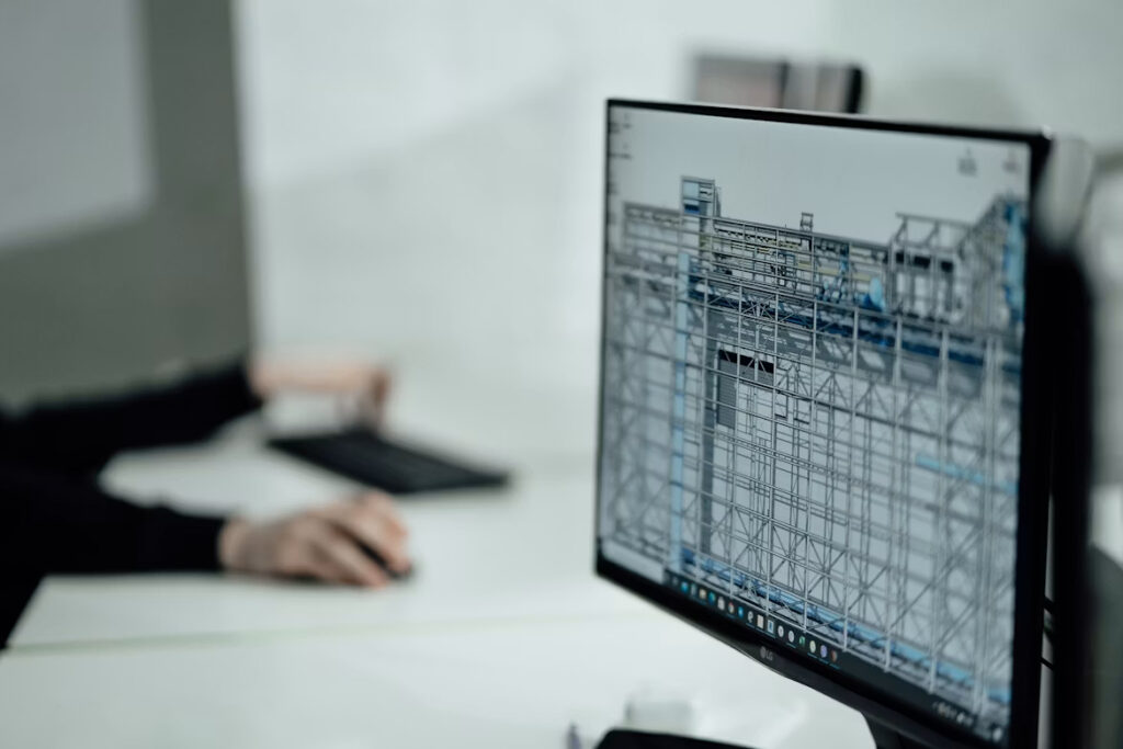
As engineering projects become more complex, the integration of BIM and GIS is becoming increasingly important.
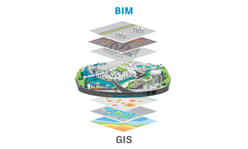
“I see BIM and GIS as complementary technologies,” Naseem says. “BIM provides detailed information about individual buildings and engineering components, while GIS provides the wider geographic and environmental context.”
He explains that BIM may include the detailed characteristics of a bridge, building, pipeline, or utility network, while GIS shows how that asset relates to roads, parcels, terrain, surrounding communities, and other infrastructure.
“When these systems are integrated,” he says, “engineers and planners can make better decisions because they can see both the detailed engineering information and the larger geographic context.”
The integration is especially useful in asset management, where information created during design and construction can continue to support the operational stage of a project.
Digital Twin technology depends on accurate, location-based data, which makes GIS a critical part of the process.
“GIS provides an important geographic foundation for a Digital Twin,” Naseem explains. “It allows different types of information such as buildings, roads, utilities, terrain, imagery, sensors, and infrastructure to be connected to their real-world locations.”
He notes that as new data becomes available throughout the project lifecycle, GIS can be continuously updated.
“During the project lifecycle, GIS can be continuously updated as new survey information, aerial imagery, LiDAR, construction data, or sensor information becomes available,” he says. “This helps keep the Digital Twin synchronized with the actual environment.”
For smart cities, he believes the combination of GIS, 3D models, IoT, real-time information, and analytics can provide a more complete understanding of how urban environments operate.
He adds that these technologies can also help decision-makers test different scenarios before implementing them in the real world.
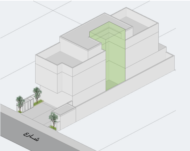
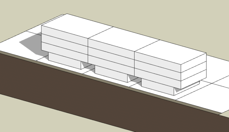
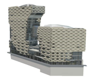
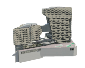
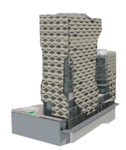
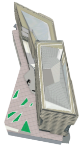
The practical application of these technologies can be seen in Naseem’s work on projects in Riyadh. From building permit modeling to large-scale developments such as KAFD, BIM and Revit data can be transformed into detailed 3D representations that help project teams visualize and understand the built environment.
Working with aerial imagery is a key part of many GIS workflows, but it also presents technical challenges.
“One of the main challenges is maintaining accuracy and consistency when interpreting aerial imagery,” Naseem says. “Factors such as image resolution, shadows, viewing angle, occlusion, elevation differences, and unclear features can make digitizing difficult.”
He adds that consistency becomes even more important when large volumes of features are being digitized.
“Small differences in interpretation can eventually create significant inconsistencies in a large dataset,” he notes.
According to Naseem, modern GIS and photogrammetry tools are helping improve the process through better visualization and automation.
“Modern GIS and photogrammetry tools help by providing better imagery, stereo and 3D visualization, automated feature extraction, AI-assisted classification, and quality-control workflows,” he says. “I believe automation is especially useful for repetitive tasks, while human review remains important for checking the final quality.”
“Geoprocessing is very useful when the same operation needs to be performed on a large number of features or datasets,” Naseem says. “Instead of manually repeating the same steps, I can build a workflow using tools such as Select, Buffer, Clip, Intersect, Spatial Join, Calculate Field, and Dissolve.”
For more complex projects, Python can automate multiple steps into a single workflow.
“The main benefit is not only saving time,” he says. “Automation also improves consistency and reduces human error, because the same process is applied using the same rules every time.”
This makes geoprocessing an important link between GIS analysis and scalable project delivery.
For Naseem, a strong GIS workflow depends on a well-structured geodatabase.
“For a large engineering project, I would first focus on establishing a clear and logical data structure,” he says. “This includes defining feature classes, geometry types, coordinate systems, attribute fields, domains, subtypes, relationships, and naming conventions.”
He also emphasizes the importance of maintaining consistent and reliable data.
“I would consider topology rules, unique IDs, metadata, versioning or editing workflows, backup procedures, and data validation.”
Perhaps most importantly, the data model should be designed around how the information will actually be used.
“A well-designed database should not only store information; it should make the information easy to maintain, analyze, update, and share throughout the project lifecycle,” he says.
A structured data model can therefore have a direct impact on the efficiency and reliability of downstream GIS workflows.
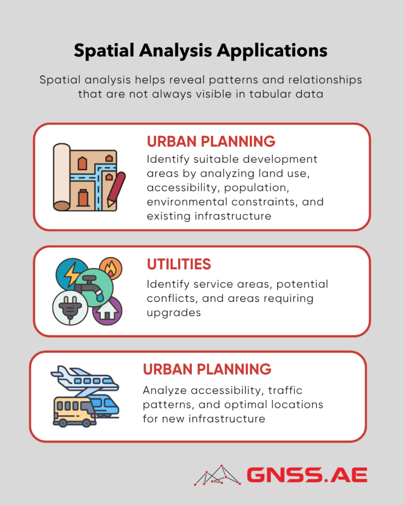
Spatial analysis is one of the most valuable capabilities in GIS because it helps reveal patterns and relationships that are not always visible in tabular data.
“Spatial analysis allows us to understand relationships and patterns based on location,” Naseem says. “This can provide information that may not be obvious from a normal spreadsheet.”
He gives several examples of how it is used in different sectors.
“The main advantage,” he says, “is that GIS allows decision-makers to combine multiple factors and evaluate them together geographically.”
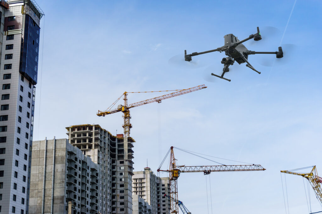
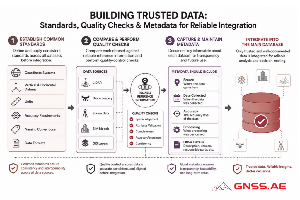
Modern engineering projects increasingly rely on multiple sources of geospatial and design information, including survey data, drone imagery, LiDAR, BIM models and GIS layers. Naseem says the key to successful integration is standardization.
“The first step is establishing common standards for coordinate systems, vertical and horizontal datums, units, accuracy requirements, naming conventions, and data formats,” he explains.
He also stresses the importance of quality control and metadata.
“Before datasets are integrated into the main database, they should be compared against reliable reference information and checked for quality,” he says. “Metadata is also very important because we need to know where the data came from, when it was collected, what accuracy it has, and what processing has been performed.”
These practices help ensure that different datasets can work together reliably rather than becoming isolated information sources.
When asked about the future of GIS, Naseem sees AI as one of the most important developments.
“I think AI-powered GIS will have one of the biggest impacts, particularly for extracting information from imagery, LiDAR, satellite data, and other large datasets,” he says. “AI can significantly reduce the amount of manual work required for feature extraction and classification.”
He also expects cloud-based GIS, Digital Twins, real-time IoT data, advanced 3D visualization and automated geoprocessing to become more important.
Still, he believes the real transformation will come from integration rather than from any single technology.
“The real value will come from integrating GIS, BIM, remote sensing, AI, real-time data, and 3D environments into one connected workflow,” he says. “This will allow organizations to move from simply managing geographic data to using it for prediction, simulation, planning, and better decision-making.”
Naseem Latif’s insights highlight how the combination of GIS with BIM, Digital Twins, aerial imagery, LiDAR, AI, and real-time data is creating new opportunities to understand assets not simply as isolated objects on a map, but as interconnected elements within a constantly changing environment.
As these technologies continue to converge, GIS is increasingly positioned not simply as a mapping technology, but as a foundation for data-driven engineering, digital asset management, spatial intelligence, and smarter decision-making.