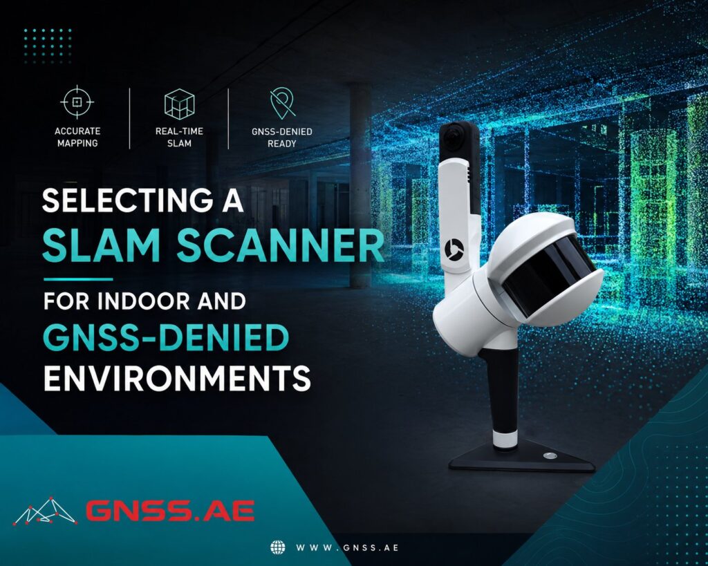
Indoor mapping requires a different approach than surveying in open environments. Inside buildings, factories, tunnels, and underground infrastructure, GNSS signals are unavailable or unreliable, so surveyors need technologies capable of positioning and mapping without satellite data.
SLAM (Simultaneous Localization and Mapping) scanners have become one of the most effective solutions for these environments. However, choosing the right system involves more than comparing maximum range or point rate. This article explains which specifications have the greatest impact on indoor mapping performance and how to select a scanner for different applications.
Unlike outdoor surveying, indoor mapping introduces several challenges that directly affect scanner performance:
These challenges explain why specifications that matter outdoors—such as maximum range or point rate—are often less important than tracking stability, drift control, and point cloud quality when working indoors.
The most important characteristic of any indoor scanner is tracking stability.
A scanner should maintain an accurate trajectory while moving through long corridors, staircases, production halls, or rooms with repetitive layouts.
Poor tracking leads to accumulated drift, causing walls to bend, floors to warp, or duplicate surfaces to appear in the final point cloud.
Reliable loop closure—the scanner’s ability to recognize previously visited areas and correct accumulated error—is therefore one of the most valuable capabilities for indoor mapping.
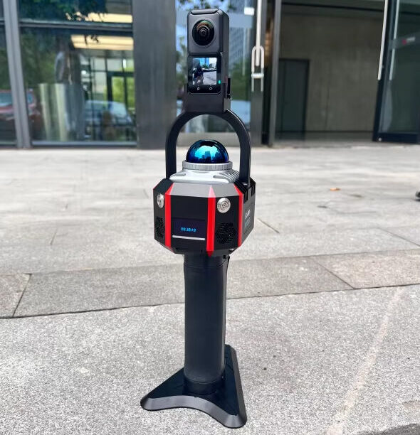
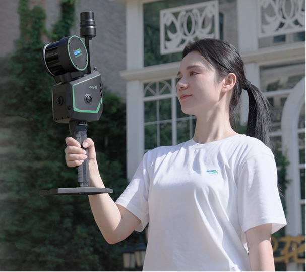
Professional handheld systems such as the South RobotSLAM 32-Channel or GreenValley LiGrip H300 are designed specifically for these scenarios, combining LiDAR with high-grade IMUs to maintain stable positioning throughout extended indoor surveys.
Indoor environments prevent the use of GNSS positioning, so some level of drift is unavoidable. What separates professional SLAM scanners is how effectively they keep that drift under control.
High-end systems combine LiDAR data with precision IMUs and advanced SLAM algorithms to limit cumulative positioning errors. As a result, they remain accurate during longer scans and perform more reliably in corridors, warehouses, and other areas with few distinctive features.
Low drift becomes especially important in large industrial facilities and multi-floor buildings, where even small positioning errors can affect floor plans, BIM models, and engineering documentation.
A larger point cloud does not automatically produce a better survey. The quality of the measurements is usually far more important than the total number of points collected.
A well-captured indoor point cloud should include:
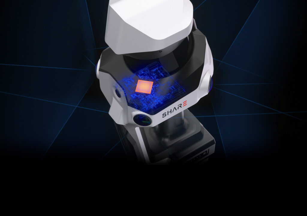
Cleaner data requires less post-processing, making it easier to generate CAD drawings, Scan-to-BIM models, and accurate asset documentation.
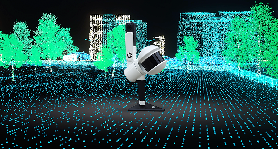
Scan rate is one of the most visible specifications on any SLAM scanner, but its importance depends largely on the type of work being performed.
Higher scan rates allow operators to move more quickly while still capturing dense point clouds. This can significantly improve productivity when documenting airports, warehouses, factories, or other large facilities.
For smaller buildings, offices, or residential properties, however, extremely high scan rates often provide little practical advantage. A mid-range scanner can usually produce results that are just as useful while keeping equipment costs lower.
Rather than chasing the highest specification, it is generally more effective to choose a scan rate that matches the size and complexity of the project.
Many SLAM scanners include panoramic cameras that add color to point clouds and capture visual records of the surveyed environment.
Camera quality is especially important for projects involving:
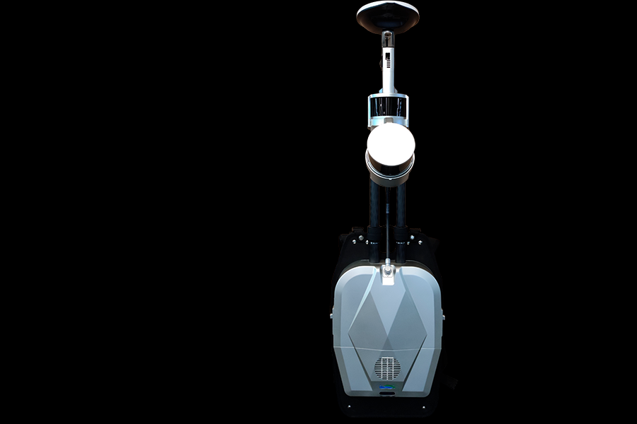
That said, image quality and scanning accuracy do not always go hand in hand. Some professional systems produce highly accurate point clouds but only average panoramic images, particularly in dimly lit environments.
When photos are part of the final deliverable, camera performance should be evaluated alongside the LiDAR specifications rather than treated as a secondary feature.
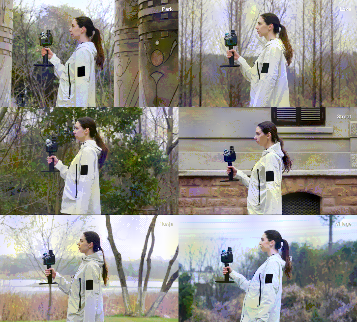
Indoor mapping often requires operators to walk continuously for several hours, sometimes across multiple floors.
On paper, a one-kilogram difference may not seem significant. In practice, it becomes much more noticeable by the end of a long survey.
A lightweight, well-balanced scanner reduces fatigue, makes it easier to maintain a steady walking pace, and helps produce more consistent results throughout the project.
Ergonomics are particularly important for:
Battery life has a direct impact on field efficiency.
Frequent battery changes interrupt the survey and increase the risk of missing areas or having to rescan sections if the scanner powers down before the job is complete.
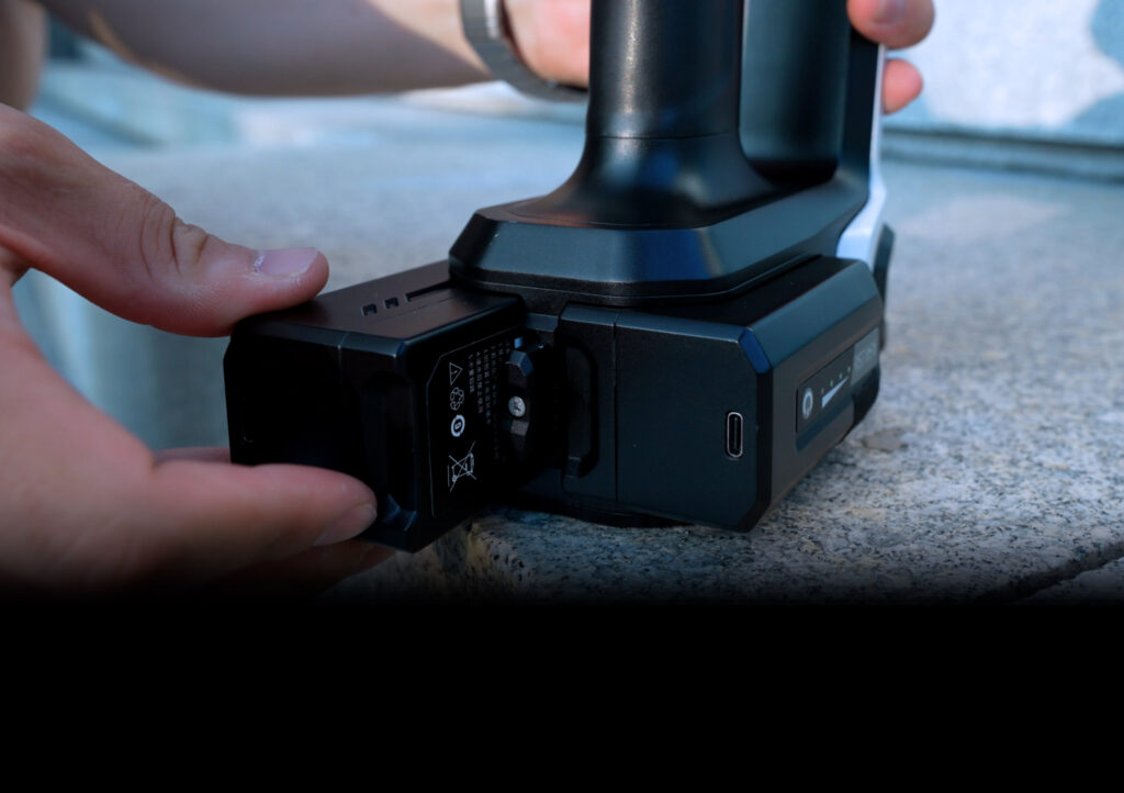
For large indoor projects, systems that operate for around two hours on a single battery typically provide a smoother workflow than those requiring a replacement every 45–60 minutes.
Manufacturers often emphasize maximum scanning range, but indoors it is rarely the deciding factor.
Long-range performance is valuable for topographic surveys, open-pit mines, or large infrastructure projects. Inside buildings, however, most measurements are taken within 30 to 80 meters, so additional range often goes unused.
The same applies to extremely high point density. While dense point clouds may look impressive in specification sheets, they also increase file sizes and processing times without necessarily improving floor plans, BIM models, or other common deliverables.
For most indoor mapping projects, consistent geometry, low drift, and clean point clouds have a much greater impact on the final results than maximum range or the highest point count.
Instead of asking “Which SLAM scanner is the best?”, it is more useful to ask “Which scanner best matches the project?”
For office buildings and commercial facilities, lightweight scanners with reliable tracking and good panorama capabilities often provide the best balance between speed and documentation quality.
For industrial plants, structural stability, low drift, and resistance to repetitive geometry become far more important than camera resolution.
For BIM workflows, clean geometry and sharp edge definition simplify feature extraction and reduce modeling time.
For tunnels, mines, and underground infrastructure, dependable operation without GNSS and strong performance in low-light conditions are essential.
Application | Recommended Scanner | Why it fits |
Office buildings, hotels, residential complexes | Lightweight (1.29 kg), easy to operate, ideal for fast indoor surveys where portability matters more than maximum range. | |
Large commercial buildings, hospitals, universities | Higher point density (640,000 pts/s) and improved tracking make it suitable for long indoor walks and complex floor layouts. | |
Industrial plants, factories, utility corridors | Supports SLAM, RTK-SLAM and PPK-SLAM, offers stable performance in GNSS-denied environments and can be deployed as handheld or backpack depending on site conditions. | |
Mines and underground infrastructure | Long battery life, high scan rate and good low-light performance make it suitable for extended underground mapping missions. | |
Large facilities requiring multiple deployment methods | To meet the demands of continuous data capture in large‑scale environments, the S100 Series adopts a dual‑battery redundant design, delivering up to 3 hours of runtime. |
Choosing a SLAM scanner for indoor environments is less about selecting the device with the most impressive specifications and more about understanding which characteristics influence real-world performance.
For indoor mapping, reliable tracking, low drift, clean geometry, and comfortable operation consistently have a greater impact on project outcomes than maximum range or headline point rates.
As SLAM technology continues to evolve, these practical considerations remain the best indicators of whether a scanner will deliver efficient workflows and dependable results in GNSS-denied environments.
Whether the objective is BIM, facility management, industrial inspection, or infrastructure documentation, selecting the right scanner ultimately comes down to choosing the system that produces consistent, survey-grade data under the conditions where traditional positioning methods no longer work.