In drone mapping projects, LiDAR and photogrammetry have traditionally been treated as two separate workflows. A LiDAR mission focuses on capturing accurate 3D geometry, while a photogrammetry mission is designed to provide high image quality for orthomosaic generation. In many cases, this means flying the same area twice: once for LiDAR, and once for imagery.
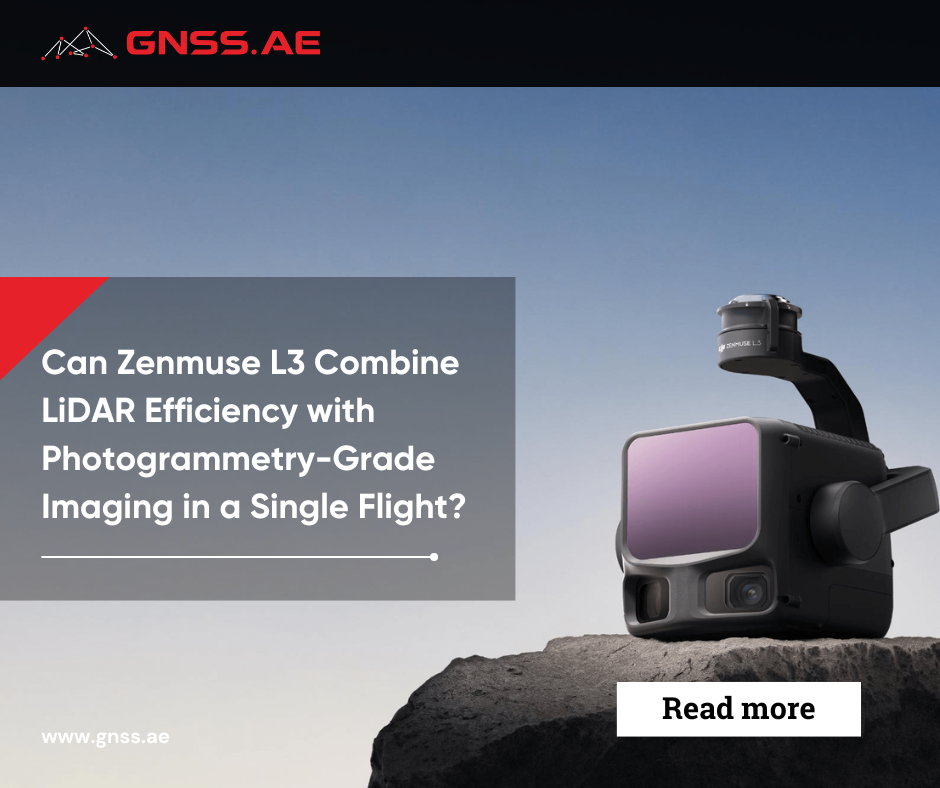
The introduction of the DJI Zenmuse L3 raises a practical question: can the integrated LiDAR sensor and dual 100 MP RGB cameras capture all needed data within a single flight and combine these two workflows?
The key issue is not whether this is technically possible—it is—but whether a single-flight workflow can consistently deliver results that meet the requirements of both LiDAR and photogrammetry outputs.
LiDAR and photogrammetry aren’t just different in how they capture data; they also have distinct approaches to planning flight missions. Each method has its own requirements, which can often clash with one another.
Photogrammetry is primarily used for generating orthomosaics and highly detailed, textured 3D surface models. Its main strength lies in producing visually rich, photorealistic reconstructions based on overlapping imagery. This makes it especially effective for applications such as visual interpretation, mapping, cultural heritage documentation, and any task where surface texture and appearance are critical. However, its performance strongly depends on surface visibility and image quality. As a result, photogrammetry is less reliable in dense vegetation, where ground reconstruction becomes difficult, and in cases involving thin linear structures such as power lines.
LiDAR, on the other hand, is a geometry-driven sensing technology that provides highly accurate and dense point cloud data. One of its key advantages is its partial ability to penetrate vegetation, allowing extraction of ground information and generation of high-quality Digital Elevation Models (DEMs), even in complex forested environments. This makes LiDAR particularly strong for terrain analysis, infrastructure monitoring, and applications such as power line inspection, where geometric accuracy and completeness are critical.
Parameter | LiDAR Survey | Photogrammetry Survey |
Flight altitude | Higher | Lower |
Image overlap | Not critical | Critical |
Flight speed | Higher allowed | Lower preferred |
Lighting conditions | Not critical | Critical |
Primary output | Point cloud | Orthomosaic / 3D mesh |
In summary, photogrammetry is generally optimized for visual and textural reconstruction of surfaces, while LiDAR is better suited for precise geometric modeling and terrain representation under challenging environmental conditions. In modern geospatial workflows, these two technologies are typically integrated to leverage the complementary strengths of both.
The DJI Zenmuse L3 is a purpose-built high-precision integrated mapping payload system that integrates long-range LiDAR, dual high-res RGB cameras, and a next-generation high-precision POS system.
Unlike first-generation systems that optimize LiDAR or imaging quality, the L3 is specifically designed for the simultaneous generation of high-accuracy, tightly-coupled imaging and LiDAR data.
At the heart of this system is a 1535 nm LiDAR module that can detect objects from distances of up to 950 meters, even on targets with low reflectivity (around 10%).
Key LiDAR characteristics include:
This technology allows both detailed topographical reconstructions of difficult environments, as well as efficient long range data collection in unsupported environments. The multi-return functionality for instance will enable detailed ground surface recovery in deeply-canopied areas.

L3 supports multiple scanning strategies, allowing operators to optimize data acquisition depending on terrain complexity and required output quality.
Mode | Characteristics | Best Use Case |
Linear | Uniform point distribution | Standard terrain mapping |
Star-Shaped | Multi-angle coverage | Forests, urban environments |
Non-Repetitive | High angular variability | Powerlines, complex structures |
This flexibility allows a single sensor to adapt across significantly different survey environments without hardware changes.

The system integrates dual 100 MP 4/3 CMOS RGB cameras with mechanical shutters, designed not only for colorization but also for full photogrammetric reconstruction.
Key imaging parameters:
Even at higher altitudes, the system maintains sufficient image density for orthophoto generation and DSM extraction.

One of the system’s key innovations is the extremely accurate POS module, which maintains metric accuracy between the LiDAR and the RGB data.
Reported performance includes:
Time synchronization at the microsecond level makes sure each LiDAR pulse and camera image is tagged with the correct time so no manual alignment would be required in post processing.

The system is optimized for large-area mapping efficiency rather than isolated high-detail capture.
Key operational metrics:
This makes L3 particularly suitable for:

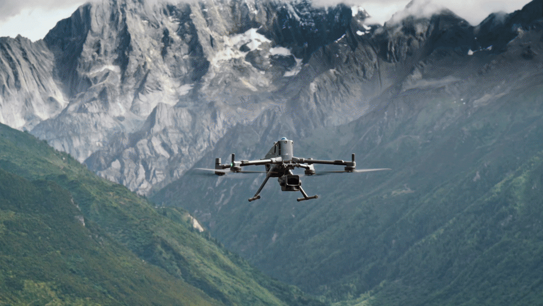
The DJI Zenmuse L3 marks a significant step forward in integrated data capture. It combines a LiDAR sensor with dual high-resolution RGB cameras, which collect point cloud data and high-definition images at the same time.
The L3 improves on prior payloads in both LiDAR performance and image quality; the dual 100 MP sensors are a step in that direction towards photogrammetry quality imaging rather than simple colorization.
The concept behind the L3 is to take everything it needs from a single flight, so it will not need to do a second run. However, the effectiveness of this approach depends on how well one flight profile can satisfy two different sets of requirements.
The main limitation of a single-flight approach becomes clear when considering orthomosaic generation.
High-quality orthophotos require:
These requirements are usually met through well-planned photogrammetry missions. However, in a flight focused on LiDAR, these factors often take a backseat.
While the DJI Zenmuse L3 captures high-resolution images, the flight profile may not provide the overlap or geometry required for precise orthomosaic reconstruction. As a result, the quality of orthophotos can vary depending on the mission design.
Aspect | L3 Single Flight | Dedicated Photogrammetry Flight |
Efficiency | High | Lower |
Image overlap | Limited | Optimized |
Orthomosaic quality | Acceptable / variable | High / consistent |
Control over geometry | Limited | Full |
In practice, L3 imagery can be sufficient for general mapping and visualization. For engineering-grade orthophotos, a dedicated photogrammetry flight often remains necessary.
Despite these limitations, there are many scenarios where a combined LiDAR and imaging workflow is both efficient and sufficient.
Typical use cases include:
In these cases, the ability to capture both geometry and imagery in a single mission reduces operational complexity and overall project time.
There are also scenarios where separate LiDAR and photogrammetry missions remain necessary.
These include:
In these situations, the flexibility to optimize each flight independently outweighs the efficiency of a combined approach.
Even when a single flight does not fully replace photogrammetry, the integration of LiDAR and RGB data provides clear advantages.
The imagery captured by the DJI Zenmuse L3 can be used to:
This reduces the need for additional data collection in many cases and enhances the usability of LiDAR outputs.
Workflow | Field Time | Data Completeness | Flexibility |
Separate flights | Higher | Maximum | High |
Single flight (L3) | Lower | High | Medium |
The key benefit is not replacing photogrammetry entirely, but reducing how often it is required
After data capture, processing workflows still reflect the differences between LiDAR and photogrammetry.
In DJI Terra, LiDAR data and imagery can be processed within a unified environment, particularly for point cloud generation and visualization. However, generating high-quality orthomosaics still requires photogrammetry-specific processing steps.
Software such as Pix4Dmapper remains optimized for image-based reconstruction, offering greater control over overlap, calibration, and output quality. A more detailed breakdown of its role in professional mapping workflows is covered in one of our previous articles Pix4D Software Ecosystem: Professional Tools for Drone Mapping and Geospatial Analysis.
This means that even when data is captured in a single flight, processing workflows may still diverge depending on the required outputs and the downstream system where the data will be used.
The DJI Zenmuse L3 represents a significant step toward integrated data capture. It reduces the need for separate missions and allows both LiDAR and imagery to be collected efficiently in a single flight.
However, it does not fully replace dedicated photogrammetry workflows in all cases.
For projects where efficiency and coverage are the priority, a single-flight approach is often sufficient. For projects requiring consistent, high-precision orthophotos, separate photogrammetry missions remain the more reliable option.
In practice, the L3 is best understood not as a replacement, but as a tool that expands flexibility. It allows survey teams to decide when a single flight is enough—and when additional data capture is justified.