Topographic surveys are essential across commercial real estate, construction, and infrastructure development. These projects demand exceptional precision, full situational awareness, and the ability to capture fine details across large and often complex sites. Traditional methods, while proven, can be time-consuming, labor-intensive, and vulnerable to oversight, especially when stakeholders expect flawless deliverables.
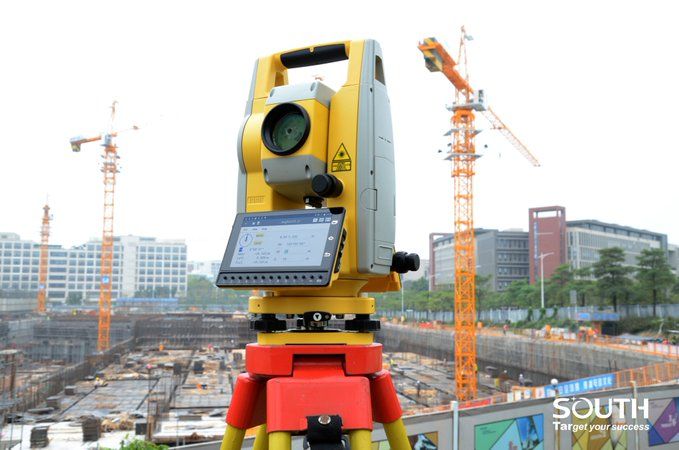
Modern scanning total stations are transforming this workflow. By combining precision measurement with high-resolution 3D scanning, these instruments give surveyors a faster, more comprehensive way to capture topographic information—helping teams meet high standards while dramatically improving efficiency.
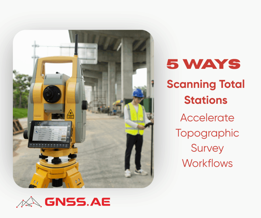
Below are five key ways scanning total stations accelerate topographic surveys and enhance overall project delivery.
One of the biggest advantages of integrating a scanning total station into your workflow is the ability to gather richly detailed data in one efficient site visit.
Advanced total stations with built-in scanning capabilities capture both precise point measurements and dense scan data, eliminating the need for separate equipment or repeated setups. This reduces field time significantly while improving the overall completeness of the dataset.
Instead of returning to the office only to discover a missed feature, surveyors can rely on a full digital reconstruction of the site—terrain, structures, utilities, and environmental features—captured at once.
Every surveyor knows the frustration: an overlooked building edge, a missed utility, or incomplete elevation data that forces a return to site.
Scanning total stations dramatically reduce this risk by capturing thousands to millions of points per second, ensuring that fine details, such as facade elements, design features, curbs, light poles, or even parking lot striping—are included in the dataset.
This level of completeness supports:
Fewer revisits mean better profitability and greater reliability for clients.
Data processing is often a bottleneck in traditional surveying workflows. With modern scanning total stations, field data is optimized for seamless integration into office software environments.
Specialized software can:
These efficiencies lead to faster, more accurate deliverables that meet or exceed industry standards—critical for projects with demanding review processes.
Surveying atypical, intricate, or congested environments can be challenging with traditional manual measurement techniques. Whether it involves irregular structures, dense urban lots, industrial facilities, or locations with limited access, scanning total stations excel where standard methods struggle.
Their ability to produce:
enables surveyors to document complicated sites with confidence and precision. This is especially valuable for renovation projects, facility expansions, or surveys involving uniquely shaped structures.
The productivity benefits of scanning total stations extend across the entire project lifecycle. By capturing more information in less time, surveyors can provide quicker turnaround times and more detailed deliverables—leading to improved client satisfaction and stronger competitive positioning.
Modern software and cloud platforms also enable:
The result is a more transparent workflow and more value delivered throughout the project.
Surveyors who embrace scanning technology gain the dual advantages of precision and efficiency—completing topographic surveys in a fraction of the time while generating significantly richer datasets.
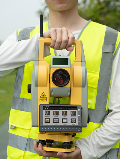
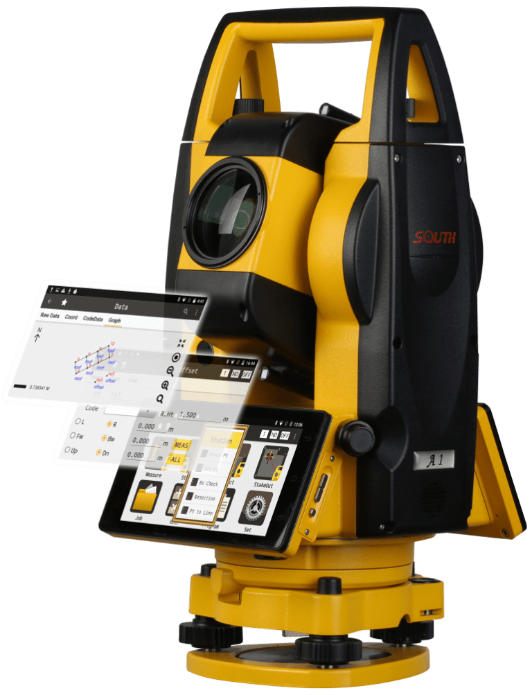
At GNSS.AE, we provide surveyors with cutting-edge South Total Stations designed to deliver exceptional accuracy, efficiency, and reliability for land and topographical surveys. Equipped with advanced measurement technology and powerful scanning capabilities, South Total Stations enable faster data collection, reduced field time, and enhanced confidence in final deliverables.
Upgrade your surveying capabilities and achieve more with our industry-leading equipment.
Discover South Total Stations today and elevate your surveying workflow.