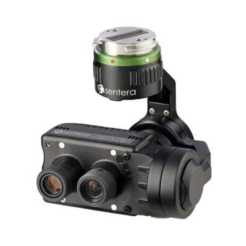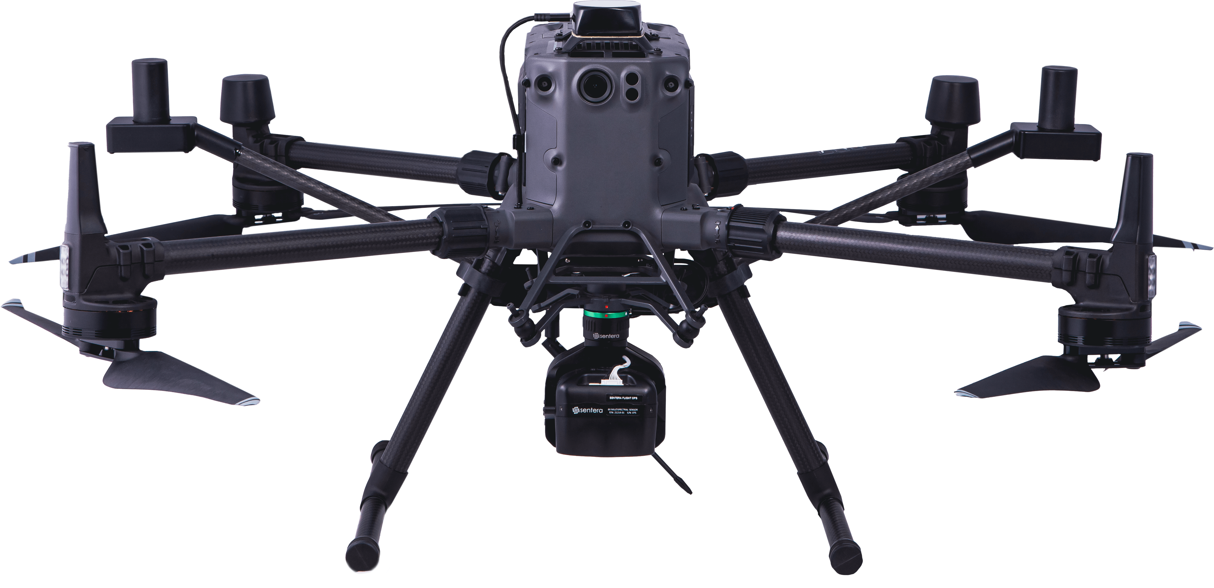
Direct Georeferencing (DGR) System delivers high-precision location certainty in minutes to create aerial view and multispectral maps — no ground control or stitching needed


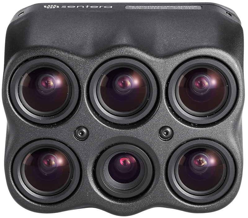
Science-grade multispectral imagery with fast-frame rate performance combined with high radiometric accuracy for more advanced imagery.
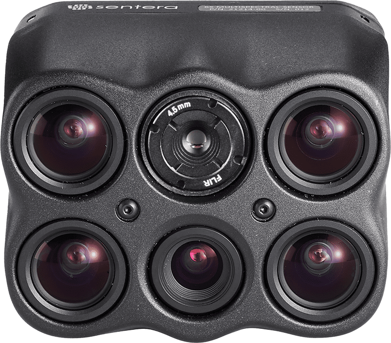
Extend optics with pixel-level temperature measurement across all imagery, delivers even more precise insights to power critical decisions.
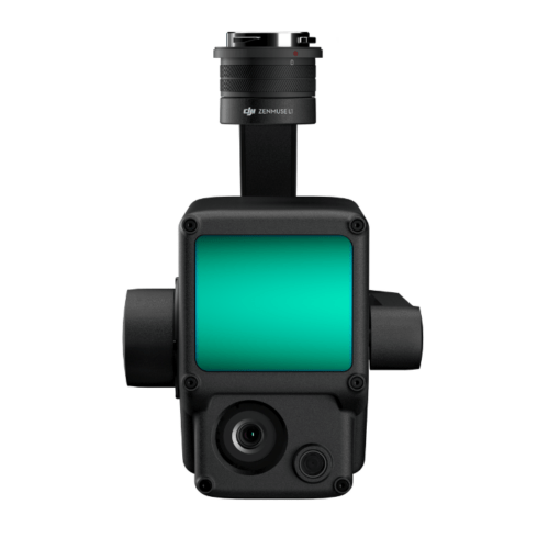
Get sharper imagery with the ultra-high-resolution aerial sensor purpose-built for seamless drone integration.
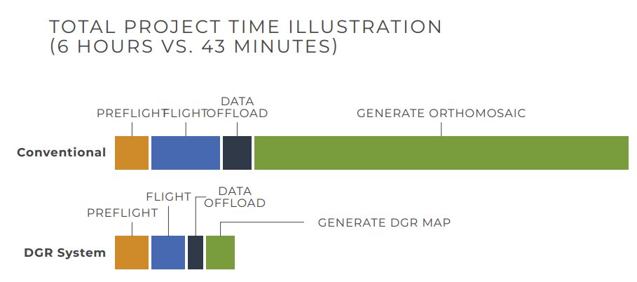
| CONVENTIONAL | DGR SYSTEM | |
| Acres | 150 | 150 |
| Altitude | 120 M | 120 M |
| Flight Time | 45 minutes | 17.5 minutes |
| Image Captures | 1,115 | 129 |
| Data Volume | 29.0 GB | 3.4 GB |
| Post-Processing Time | 5 hours | 10 minutes |
| Total Project Time | 6 hours | 43 minutes |
| 6X Multispectral | 5X 3.2 MP Monochrome Global Shutter
1X 20 MP RGB Electronic Rolling Shutter (Sony IMX147)
4X 3.2 MP Monochrome Global Shutter
|
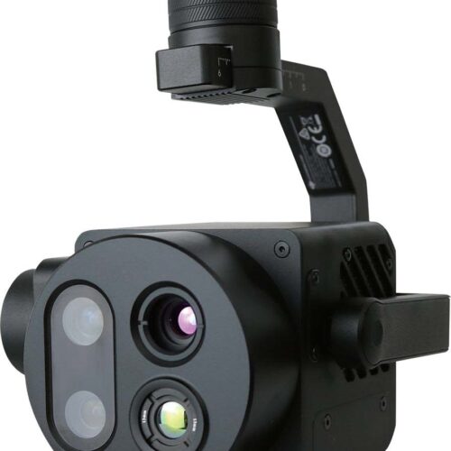
| 6X Thermal | 1X 20 MP RGB Electronic Rolling Shutter (Sony IMX147)
1X FLIR Boson 320 x 256 LWIR, Radiometric
|
| 6X Multispectral |
|
| 6X Thermal |
|
| Dimensions | 65mm x 65mm x 22m (3.13″ x 2.60″ x 2.66″) |
| Weight | 290 grams |
| Power | 15W |
| Frame Rate | 5 fps |
| Image Format | JPEG, TIFF, RAW |
| Storage | 512 GB Internal PCIe NVMe |
| Interfaces |
|
| Compatible Drones |
|
Inquire price for Sentera DGR System