Surveying equipment is designed to minimize human errors and ensure the highest reliability of collected data. In this article, GNSS.AE explores the main types of surveying instruments, their functions, and key applications in construction surveying, land planning, and geodesy.
Modern surveying instruments include a wide range of devices that differ in their working principles, technical capabilities, and areas of application. Compact, lightweight, and user-friendly, they provide high-precision measurements and are widely used in topographic surveys, engineering projects, and construction monitoring. Most are equipped with surveying software for automated data collection, processing, and storage.
For measuring distances within line of sight, surveyors typically use laser distance meters and measuring tapes. These can be standalone devices or integrated into electronic total stations. To determine distances between remote objects without direct visibility, specialized equipment such as GNSS receivers is required.
To obtain precise elevation differences between two points, even across large distances, surveyors use levels. Depending on the type of level and the method applied, professionals can achieve highly accurate results.
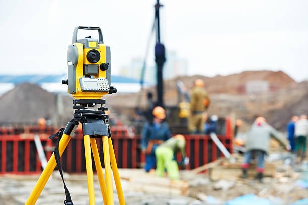
The primary modern tool for measuring angles is the electronic total station. Its predecessor, the optical theodolite, is still occasionally used but is considered an older opto-mechanical instrument.
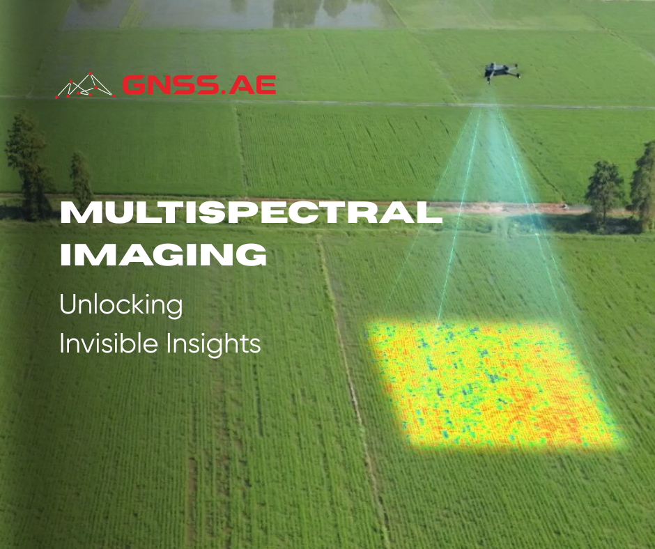
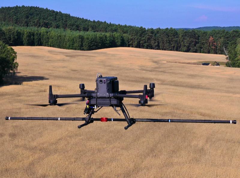
Today, built-in navigators in everyday devices no longer surprise anyone. This has become possible thanks to Global Navigation Satellite Systems (GNSS), which provide positioning anywhere on Earth. Modern GNSS surveying equipment can determine precise geographic coordinates with centimeter-level accuracy. This technology is indispensable for construction projects, land surveying, and infrastructure development.
Surveying tasks differ by purpose and scale. Depending on whether the work involves topographic mapping, cadastral surveys, or construction layout, surveyors use the following instruments:
Total Stations
A total station is one of the most advanced and versatile surveying instruments, combining angle and distance measurement with advanced functions such as 3D scanning, area calculation, and volume measurement. Widely used in construction surveying, mining, and deformation monitoring, total stations are essential in modern geodesy.
Theodolites
A theodolite is a classic surveying tool for measuring angles, distances, and elevations. While reliable, it requires more operator expertise and a larger crew compared to a total station, making it less efficient for modern land surveying.
Laser Distance Meters
Compact and portable devices popular among builders, architects, and designers. Their main advantage is accuracy combined with ease of use and affordability. They work by measuring the time a laser beam takes to travel to a target and back, with errors typically limited to a few millimeters.
Levels
Optical and digital levels are widely used in construction surveying to transfer elevations, check height differences, and monitor settlement. Their affordability and simplicity make them indispensable in road construction and building projects.
GNSS Equipment
GNSS receivers are among the most commonly used tools in modern geodesy and surveying. They provide centimeter-accurate coordinates for mapping, topographic surveys, precision agriculture, and machine control systems. GNSS instruments can be all-in-one receivers or setups with external antennas.
Tripods
A surveying tripod ensures stable mounting for total stations, GNSS receivers, laser scanners, and levels. Stability is critical in avoiding measurement errors, making tripods an essential accessory in all geodetic surveys.
Survey Poles (Prisms and Antenna Poles)
Surveying poles (prisms and antenna poles) are used to mark points and hold reflectors or GNSS antennas. Telescopic poles allow adjustable height up to 5 meters, while sectional poles are lightweight and compact, suitable for both total stations and GNSS surveys.
Laser Measuring Tapes
A compact and reliable surveying tool, the laser measuring tape is used indoors and outdoors to measure distances, areas, and volumes, and even perform indirect calculations using the Pythagorean theorem.
Cable Locators
Cable locators detect underground utilities such as pipelines and cables. They are crucial for preventing accidents during excavation and construction surveying.
When selecting surveying instruments, consider:
Methodology – Different tasks require different approaches. For example, surveying a large forested area is best done using UAVs with LiDAR sensors for fast and accurate data capture.
Accuracy – Ensure the instrument meets the project’s precision requirements.
Reliability – Equipment should perform consistently under various conditions.
Mobility – Portability and ease of use in the field are essential.
Cost – Balance budget with required functionality.
Service availability – Ensure local support and maintenance are accessible.
Additionally, consider whether instruments can be integrated into a single workflow and whether the surveying software supports upgrades for extended functionality.