Smart drone surveying software. Survey efficiently with drone data
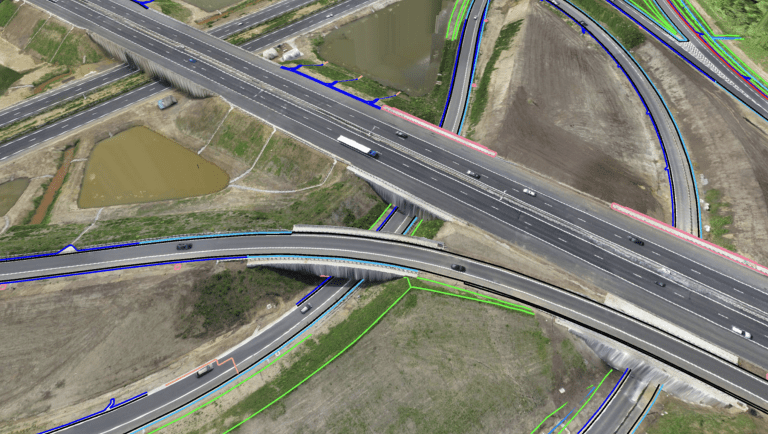
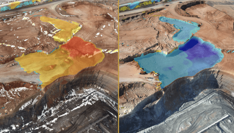
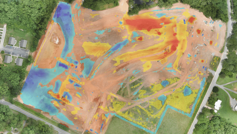
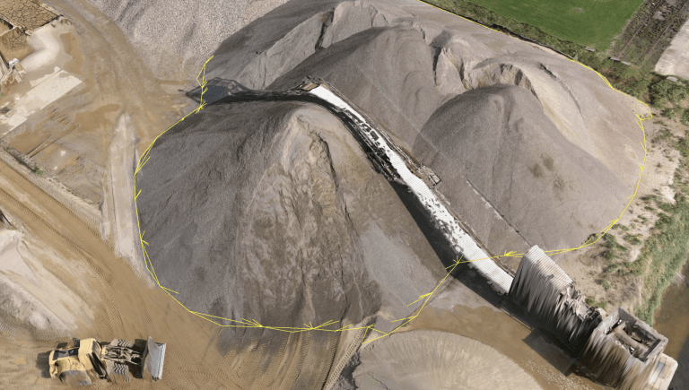
Powerful analysis and visualisation of your drone surveys. Virtual Surveyor is ideal for civil construction, infrastructure, mining and quarrying projects of any size. From road surveying to topography mapping, volume calculations and cut/fill mapping, Virtual Surveyor gives you the tools to quickly and accurately track and optimise your project as it takes shape.
Inquire Now


Creating a topographic survey with a drone is a completely different process compared to a terrestrial survey with the boots on the ground.
A topographic surveyor models the outside world by measuring as few points and lines as possible, while surveying with a drone requires flightplanning, piloting, an entire logistic operation and photogrammetry.
Another big challenge is that the orthophotos, elevation models and point clouds coming out from the photogrammetry process differ completely from what the engineers expect the surveyor to deliver. Civil or mine engineers want a lightweight but meaningful CAD model that they can load directly in their CAD design software packages.
The Kardia mine in West Macedonia saves big bucks with more accurate volume measurements using drone surveying. The surveying team operates the following workflow on a monthly basis:
A survey with a drone adds additional complexity to your workflow. It is important to understand where you are as a surveyor in the entire workflow.
Inquire price for Virtual Surveyor