Create, share, and consume high quality 3D reality models
Inquire Now
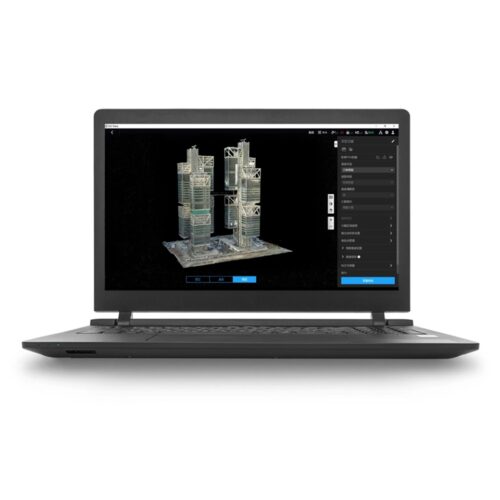
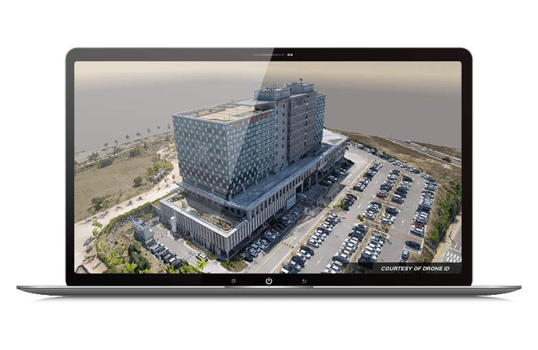
To improve how you design, construct, operate, and collaborate, add real-world digital context to your projects so you can quickly address infrastructure challenges and make informed decisions. iTwin Capture Modeler enables you to automatically generate multiresolution 3D models at any scale and precision.
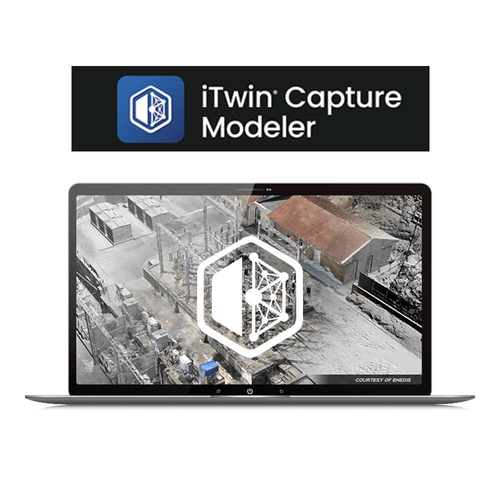
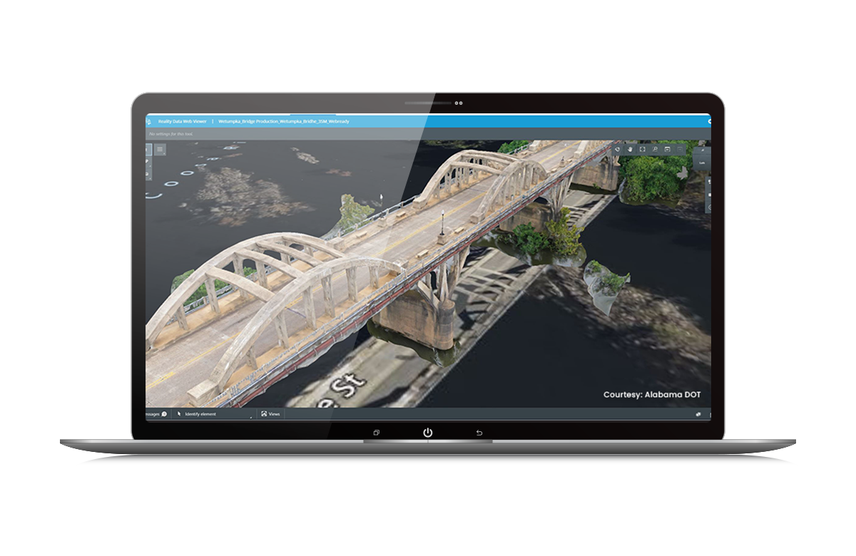
Visualize and add value to reality meshes of any size with Bentley’s iTwin Capture Modeler Viewer.
The Reality Modeling WorkSuite is a sales bundle that offers you access to Bentley’s most popular reality modeling applications iTwin Capture Modeler and Reality Data Management, at a discounted price. Reality capture through 3D photogrammetry or laser scanning can be difficult. Save time with Bentley’s solutions and continually produce high-fidelity 3D reality models.
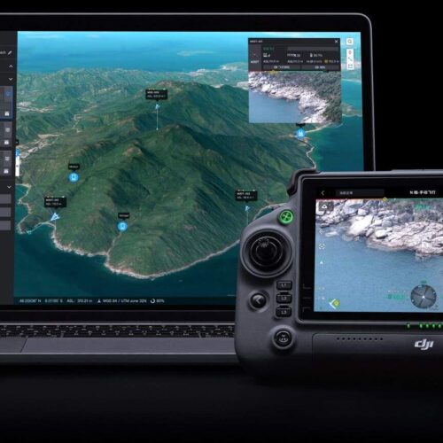
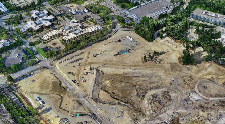
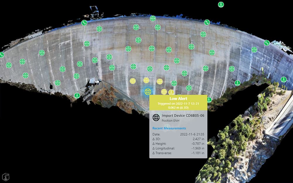
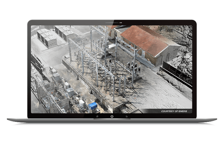
Bentley’s reality modeling software can handle any size, and from many sources including point cloud, imagery, textured 3D mesh, and traditional GIS resources. You can integrate and combine all your reality data into one single digital context. Easily visualize and navigate 3D mapping data real-time in full 2D and 3D. Take advantage of automated measurements and extract features for asset inventory, terrain creation, and asset verification and attribution. Add real-world context throughout the lifecycle of projects in design, construction, and operations.
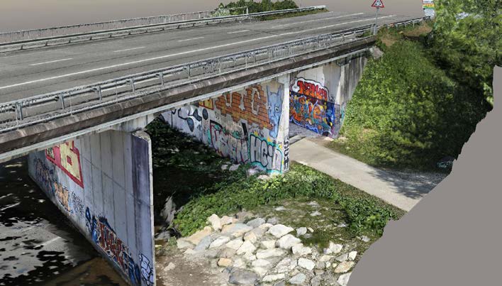
iTwin Capture Modeler offers the highest fidelity and most versatile desktop capabilities for creating reality data that will serve as the digital context for design, engineering, construction, and operations workflows. It allows you to reliably and quickly produce reality meshes of any scale at the best quality on the market by using photographs or LiDAR point clouds. It is available in two versions: iTwin Capture Modeler and iTwin Capture Modeler Center. iTwin Capture Modeler Center enables you to create unlimited clusters to quickly process projects as large as entire cities.
| Capabilities | Itwin capture Modeler | Itwin capture Modeler center |
|---|---|---|
| Imagery dataset size per project | Unlimited | Unlimited |
| Scanned point clouds limitation per project | Unlimited | Unlimited |
| Mesh export formats (3MX/3SM/DGN/I3S/OBJ/FBX/STL/DAE/OSGB/Cesium) | ✓ | ✓ |
| Colored point cloud export (LAS/OPC/POD) | ✓ | ✓ |
| True orthophoto / 2.5D digital surface model (TIFF/GEOTIFF/KML) | ✓ | ✓ |
| Georeferencing | ✓ | ✓ |
| SDK | ✓ | ✓ |
| Parallel (cluster) processing for unlimited scalability | Up to 2 engines | ✓ |
| Process several jobs in parallel | Up to 2 engines | ✓ |
| AI feature extraction | ✓ | ✓ |
The Reality Modeling WorkSuite sales bundle includes iTwin Capture Modeler and Reality Data Management.
iTwin Capture ModelerProduce 3D models of existing conditions for infrastructure projects, derived from photographs and/or point clouds. These highly detailed, 3D reality meshes provide precise real-world context for design, construction, and operations decisions throughout the lifecycle of a project. Develop precise reality meshes affordably with less investment of time and resources in specialized acquisition devices and associated training. You can easily produce 3D models using photos taken with an ordinary camera and/or LiDAR point clouds captured with a laser scanner, resulting in fine details, sharp edges, and geometric accuracy. Dramatically reduce processing time with the ability to run two iTwin Capture Modeler instances in parallel on a single project. Input
Calibration / Aerotriangulation (AT)
Georeferencing
Scalability
Computation
Editing
Output and Interoperability
Viewing
Measurement and Analysis
Bentley CONNECT
|
Reality Data ManagementReality Data Management is a cloud service for storing, managing, and sharing reality data. Better collaborate when you share visuals of the 3D reality mesh with your teams. Reality Data Management, a cloud-based service, extends Bentley’s ProjectWise connected data environment to securely manage, share, and stream reality meshes, and their input sources, across project teams and applications increasing team productivity and collaboration. It enables you to stream large amounts of reality modeling data without the need for high-end hardware or complex IT infrastructure. Reality Data Management is accessible through Bentley’s software applications, such as MicroStation, Bentley Descartes, and much more. UAV companies, surveying, and engineering firms leveraging reality modeling in-house can quickly access their 3D reality meshes generated with the iTwin Capture Modeler. Collaborate in real timeCapture and share real-time changes; collaborate on latest documents anywhere and anytime over mobile and desktop devices. Connect project participants through an instant-on cloud serviceUse a secure cloud-based portal to work from any location and gain built-in data backup and recovery, without needing to install or maintain any software. Connect your entire supply chain with ease, using the secure platform to efficiently collaborate without opening your firewall. Find documents quicklyAccess your latest files and favorite content based on your requirements for accurate document retrieval. Employ trusted file sharingEliminate the redundancy and confusion often caused by documents stored on multiple sites and with different applications. Put files in a project contextCreate and manage file sharing with user, workgroup, and team folder structures. |
Inquire price for Bentley iTwin Capture Modeler (formerly ContextCapture)