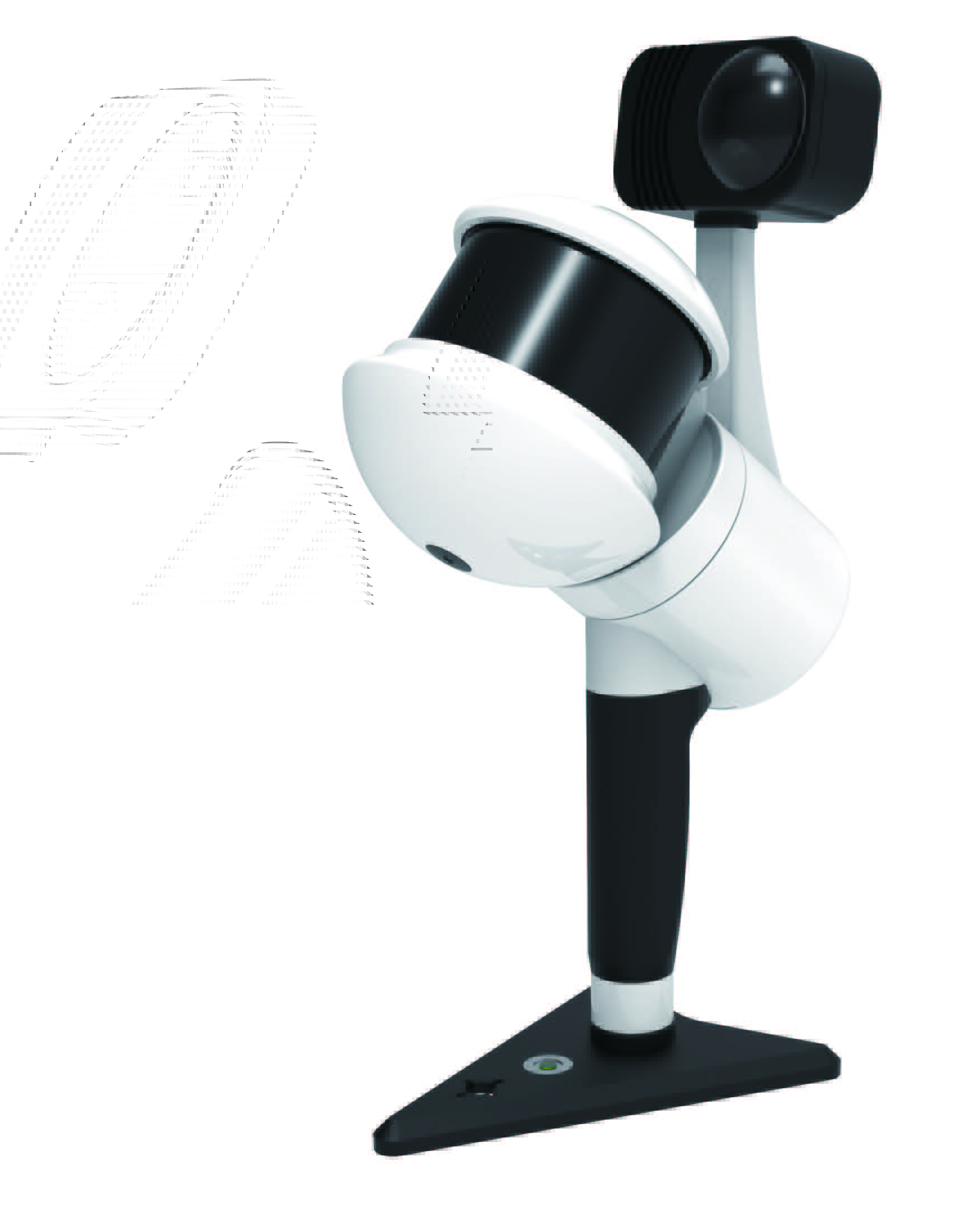
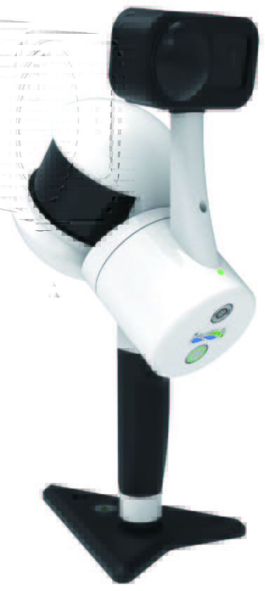
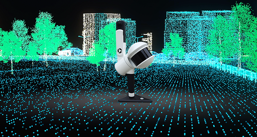
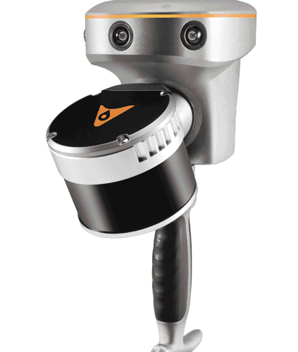
LiGrip H300 integrates multiple high-precision mapping methods, including SLAM, PPK-SLAM, and RTK-SLAM, allowing you to swiftly acquire point cloud data with absolute coordinates. Combined with LiDAR 360 and LiDAR 360MLS software, the LiGrip H300 can provide a one -stop solution on mapping, mining, forestry, road component survey and other scenarios.


Scan Rate 640,000 pts/s

Scan Range up to 300 m

Laser Accuracy up to ± 1 cm

Multi-Platform Compatibility
Point clouds with absolute coordinates can be obtained by bringing in GCP control points (if point clouds with absolute coordinates are not required, they can be directly collected).
Suitable for areas with CORS signals, it allows you to directly obtain accurate point clouds with absolute coordinates.[In some regions, this feature is not available, please consult your local sales or partners for details]
Point clouds with absolute coordinates can be obtained by bringing in GCP control points (if point clouds with absolute coordinates are not required, they can be directly collected).
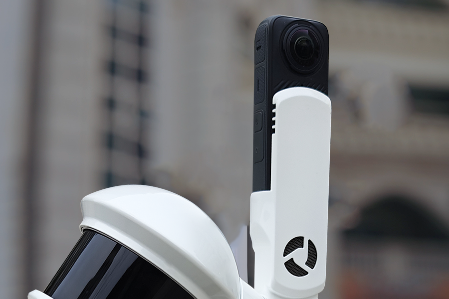
Supports 6K images and high performs in indoor and low-light environments
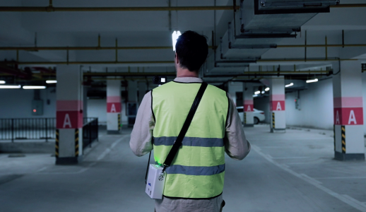
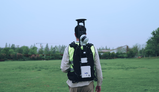
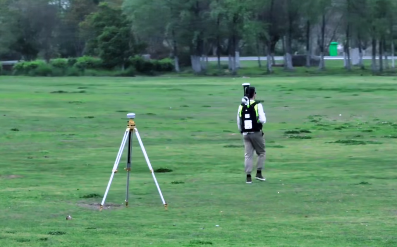
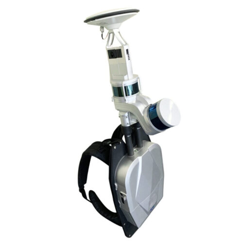
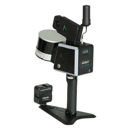
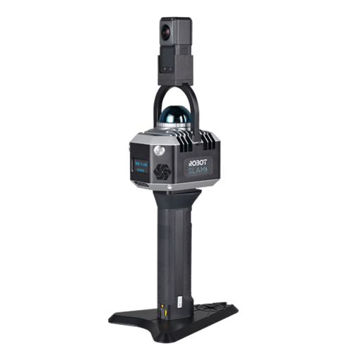
The H300 enhances data collection flexibility and efficiency with its support for handheld, backpack, vehicle, and aerial platforms.
| Dimensions | 195×125×350 mm | Voltage | 15.2 V | |
| Battery Pack Dimension | 134×64.6×167 mm | Storage | 512 GB | |
| Handheld Weight | 1.58 kg (Including Tripod and Camera) | Battery Capacity | 5870 mAh | |
| IP Rating | IP54 | Single Battery Life | 180 mins | |
| Port | USB, Ethernet | Continuous Scanning Duration | Up to 55 mins | |
| Suitable Environments | Versatile for a wide range of indoor and outdoor applications | Operating Temperature | -20℃ ~40℃ | |
| Equipment Storage Temperature | -40℃ ~70℃ | Battery Storage Temperature | Recommended storage temperature 22℃ ~30℃ [1] | |
LiDAR Sensor Parameters |
||||
| Scan Rate | 640,000 pts/s | Detection Range | Up to 300 meters | |
| Range Accuracy | 1 cm | FOV | 280° (Horizontal)×360° (Vertical) | |
Camera Parameters |
||||
| Camera Type | Insta X4 | Image Resolution | 11904×5952 | |
| Data Format | MP4 INSV | Video Resolution | 7680×3840 | |
| 95×60×55 mm (including heat dissipation structure) | ||||
RTK Module [2] |
||||
| Satellite System | GPS+BDS+Glonass+Galileo+QZSS, supports 5 constellations and 16 frequencies | |||
| RTK Accuracy | 1 cm+1 ppm | RTK/PPK Protocol | NTRIP | |
| 97×71×30 mm | Weight | 190 g | ||
| RTK Data Format | .rtk | GNSS Raw Data Format | .log | |
| Compatible with | LiGrip H300, and LiGrip H120 | |||
Mapping Method |
||||
| Mapping Principles | RTK-SLAM, PPK-SLAM, SLAM | Real-time Processing | Support | |
Data Results |
||||
| Relative Accuracy | ≤1 cm | Absolutely Accuracy | ≤5 cm[3] | |
| Point Cloud Format | LAZ (real-time processing), LiData (post- processing) | |||
| [1] B58 battery storage temperature: Recommended storage temperature 22 ℃ ~30 ℃ ; 20 ℃ ~50 ℃ less than 1 month; -20 ℃ ~40 ℃ less than 3 months; -20℃ ~20℃ less than 12 months; [2] It needs to be purchased separately; [3]The greater the number of feature points in the scanned scene, the better the feature quality, and the higher the point cloud accuracy. It is recommended to follow the recommended operating methods to obtain high-precision point cloud results. |
||||
Backpack Kit |
||||
| Dimensions | 760×500×270 mm (folded), 1100×500×270 mm (expanded) |
|||
| Material | Aluminum Alloy + Carbon Fiber | |||
| 3.2 kg | ||||
| Compatible Handheld Models | H300, H120 | |||
| Absolute Accuracy | ≤5 cm | |||
| *In areas with no GPS coverage or weak signals, we recommend using the handheld mode for higher efficiency. | ||||
Vehicle-Mounted Kit |
||||
| Supported Vehicle Types | Sedan, SUV | |||
| Kit Weight | 3.6 kg | |||
| Kit Dimensions | 340×305 ×360 mm | |||
| Mounting Method | Suction Cup + Safety Rope | |||
| Maximum Vehicle Speed | 40 km/h | |||
Drone-Mounted Kit |
||||
| Supported Drone Models | M300/M350 | |||
| 330 g (including bracket, power cord, GNSS antenna, RTK module) | ||||
| Take off Weight | 2.45 kg (including handheld, control box) | |||
| Power Supply Mode | Powered by Drone | |||
| 388×70×140 mm | ||||
| Working Durance | 25 mins | |||
Pay securely with your Card, Apple Pay, or Google Pay via Paymob.
![]()
A payment link, also known as a checkout link, is a shareable URL that allows customers to make payments online.
Cash/Cheque payment/Bank transfer
Inquire price for GreenValley LiGrip H300 Rotating Handheld SLAM LiDAR System