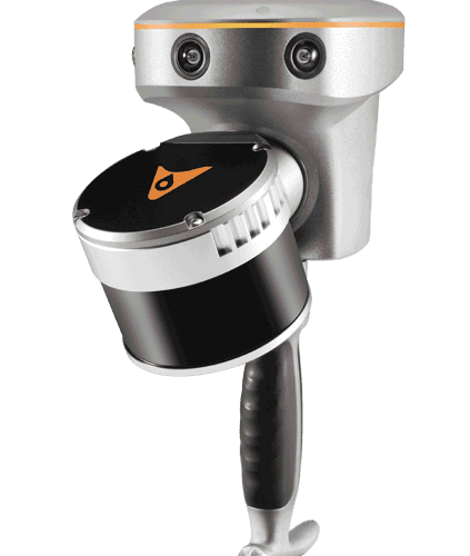
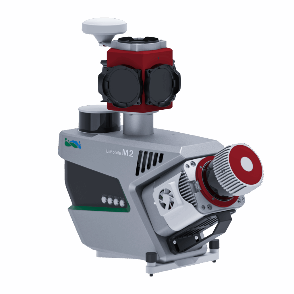
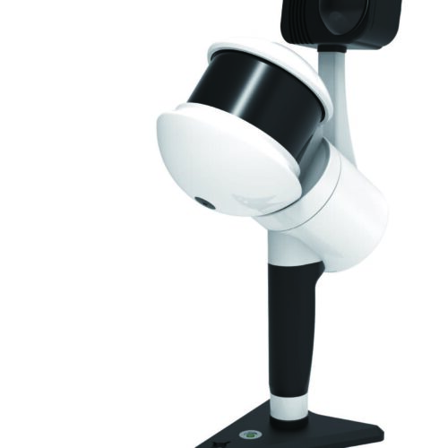
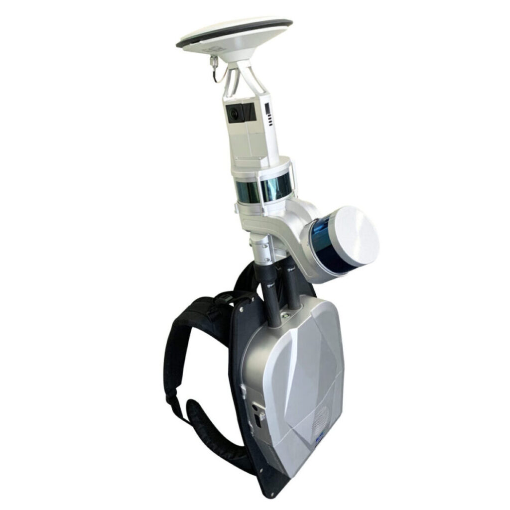
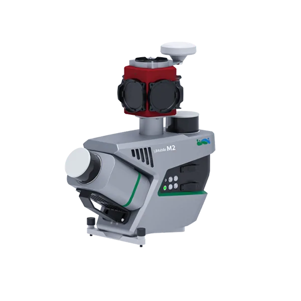
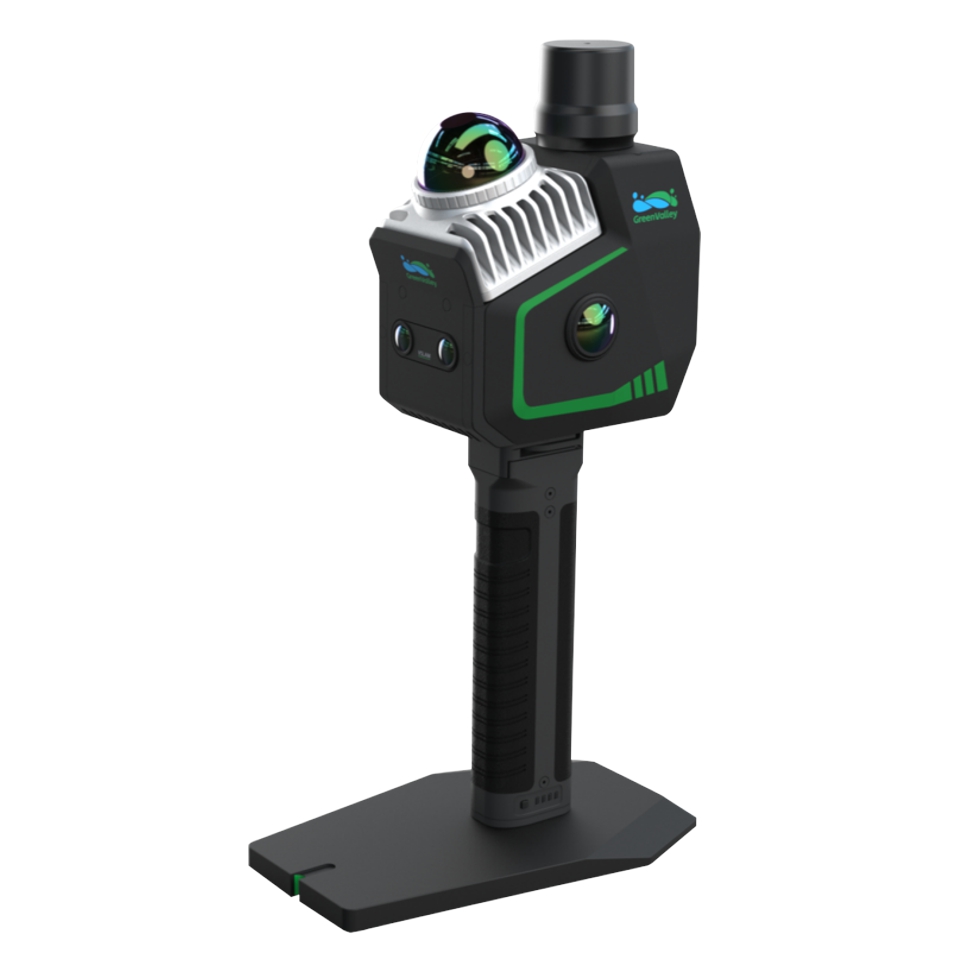
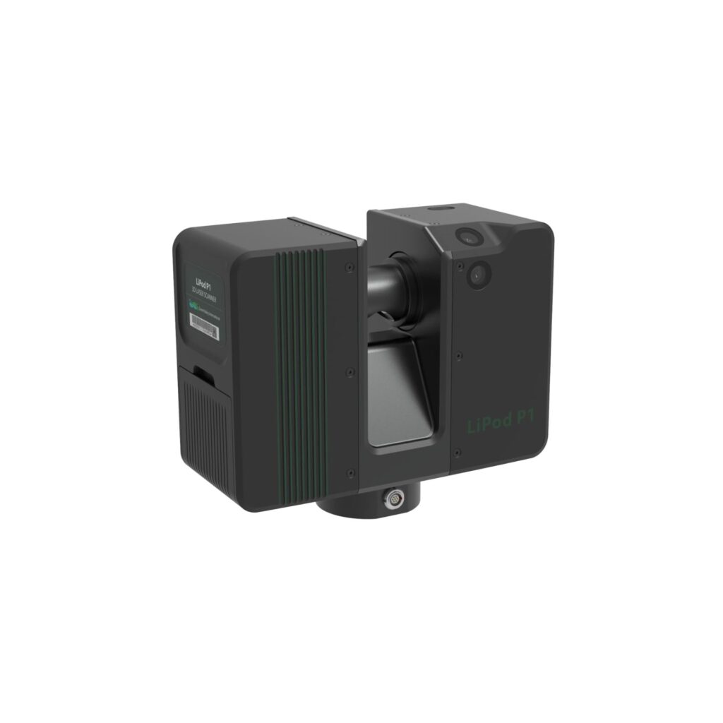
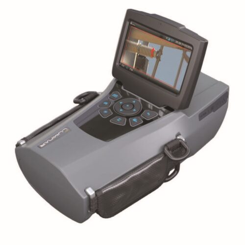
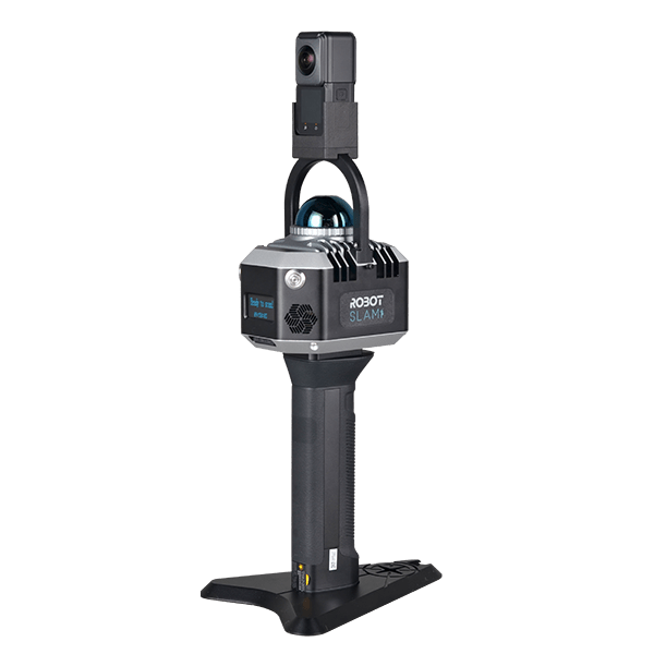
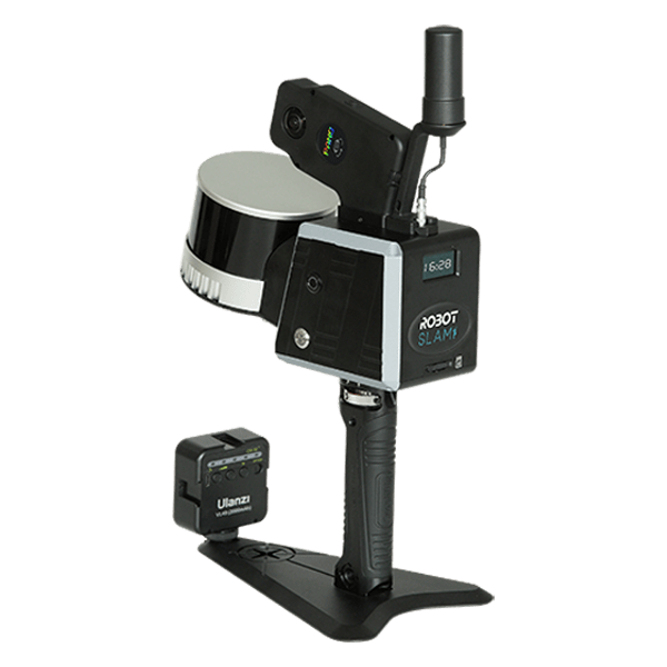
The LiDAR 3D scanner can be combined with a variety of technologies to achieve 3D scanning. In mobile mapping systems, it can be combined with SLAM technology or GNSS technology. Mobile SLAM LiDAR Scanners provides high accuracy digital mapping for large infrastructure projects, while limiting traffic disruption and increasing safety. Compared to conventional surveying, it saves on time and costs. Its high speed allows it to survey large areas quickly and efficiently, avoiding delays and traffic snarls. It also requires less manpower than traditional surveying methods, reducing the potential for human error and ensuring the highest level of accuracy.
