Reviews
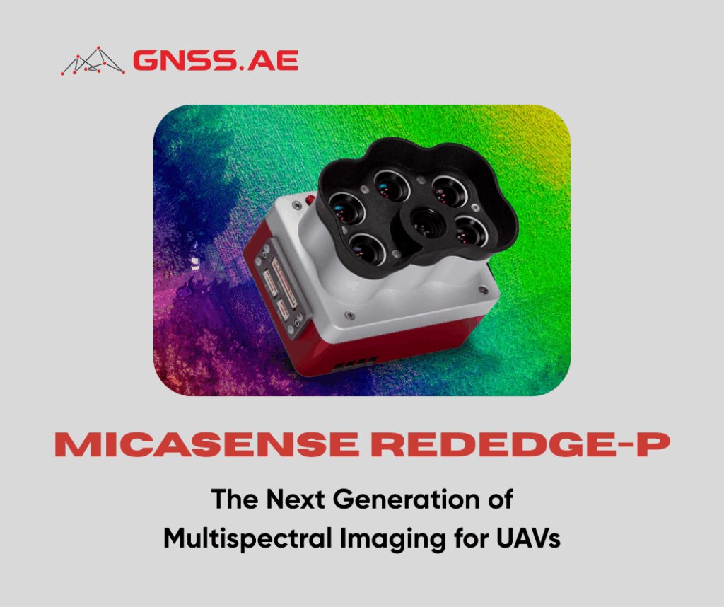
MicaSense RedEdge-P: The Next Generation of Multispectral Imaging for UAVs
As UAV technology evolves, so too does the ecosystem of advanced sensors and accessories designed to expand their capabilities. In
As UAV technology evolves, so too does the ecosystem of advanced sensors and accessories designed to expand their capabilities. In
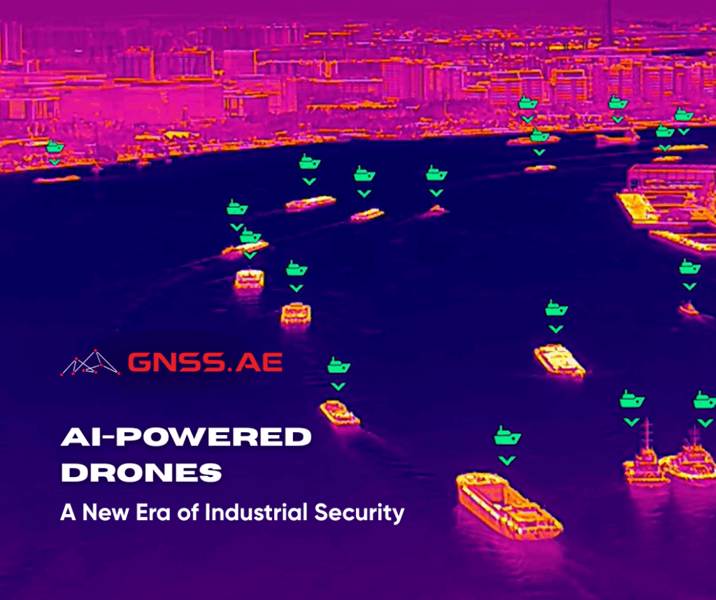
AI-powered drones are redefining the standards of industrial security and operational safety. From mining areas and oil & gas facilities
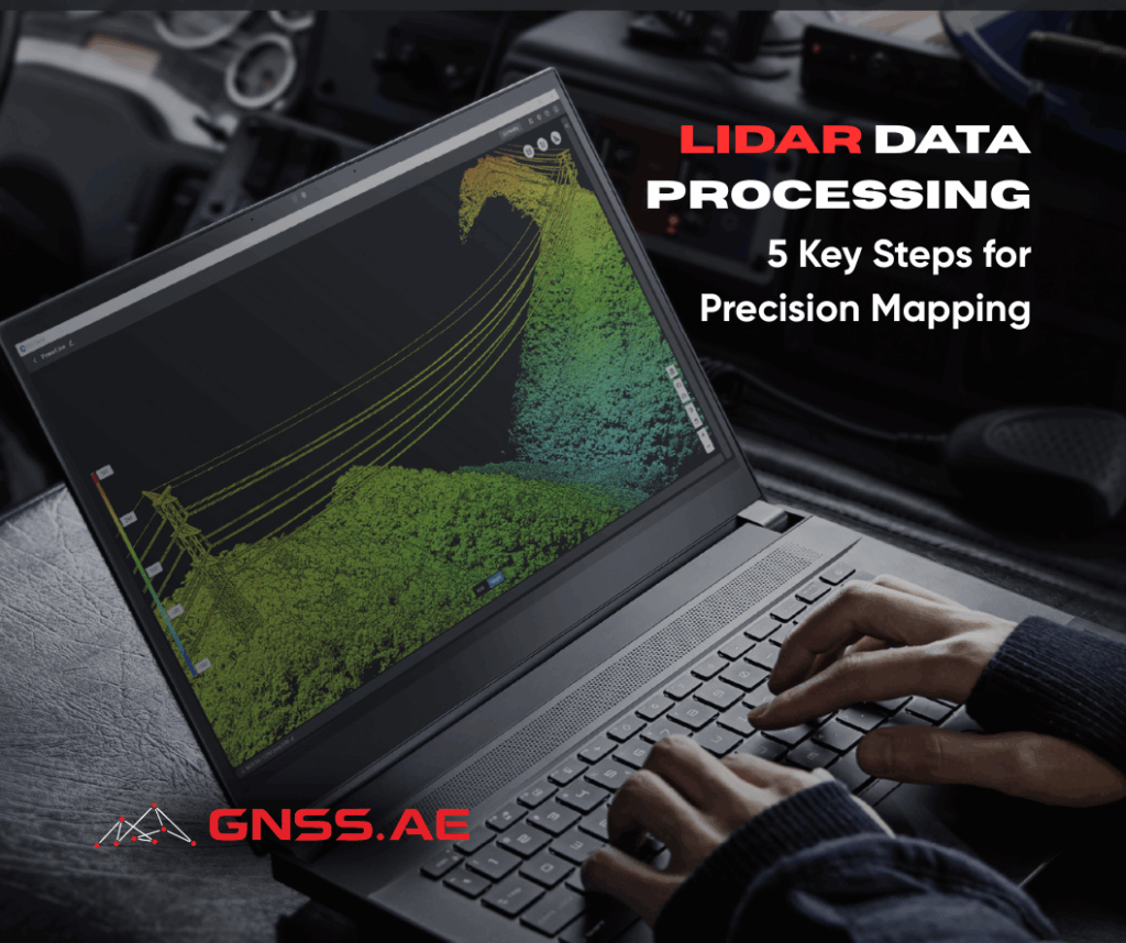
LiDAR (Light Detection and Ranging) has revolutionized the way we map, survey, and analyze spatial data. By capturing millions of
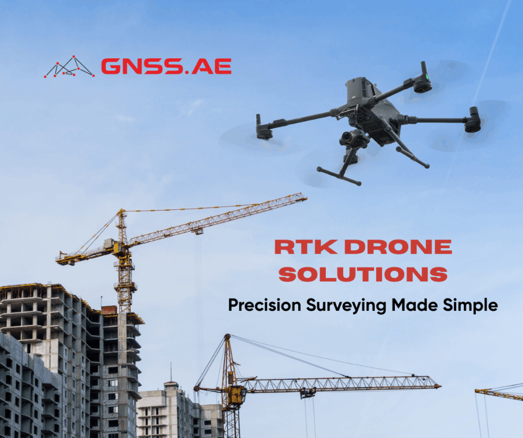
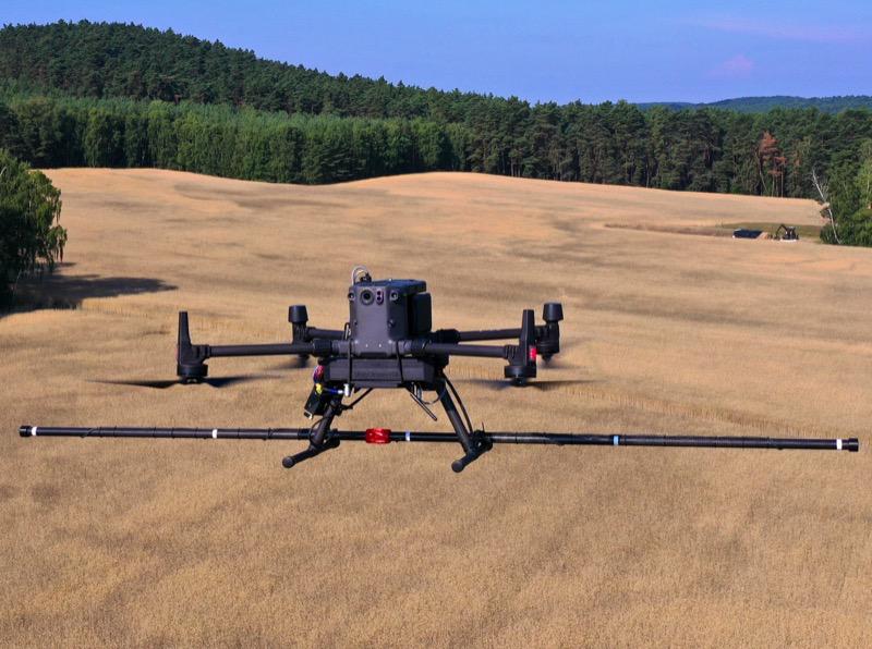
RTK surveying has revolutionized modern construction and infrastructure projects by dramatically improving both efficiency and accuracy. Construction drones equipped with
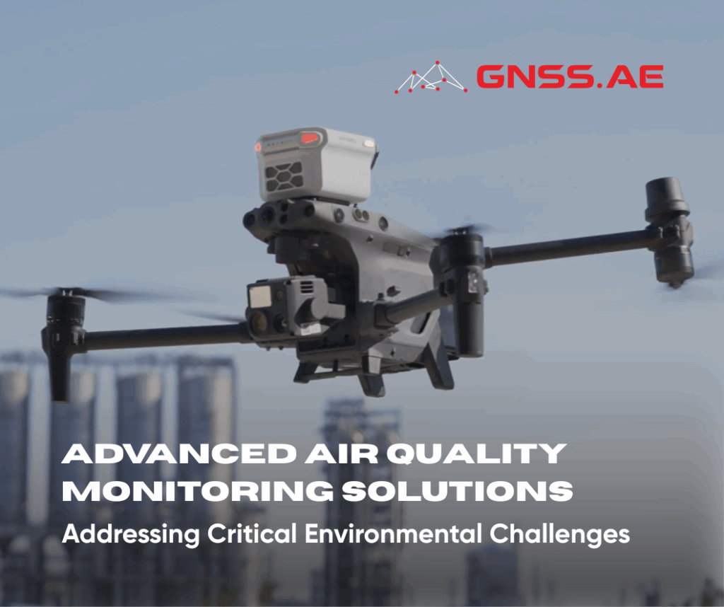
Air quality degradation in the United Arab Emirates represents a significant environmental and public health concern. Recent data from IQAir
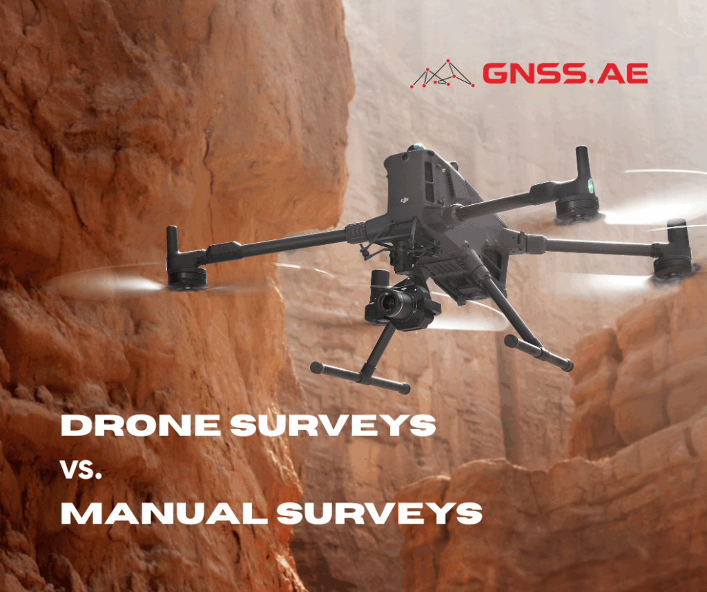
The debate between drone surveys and manual surveys has become increasingly relevant in modern surveying and mapping. As demand for
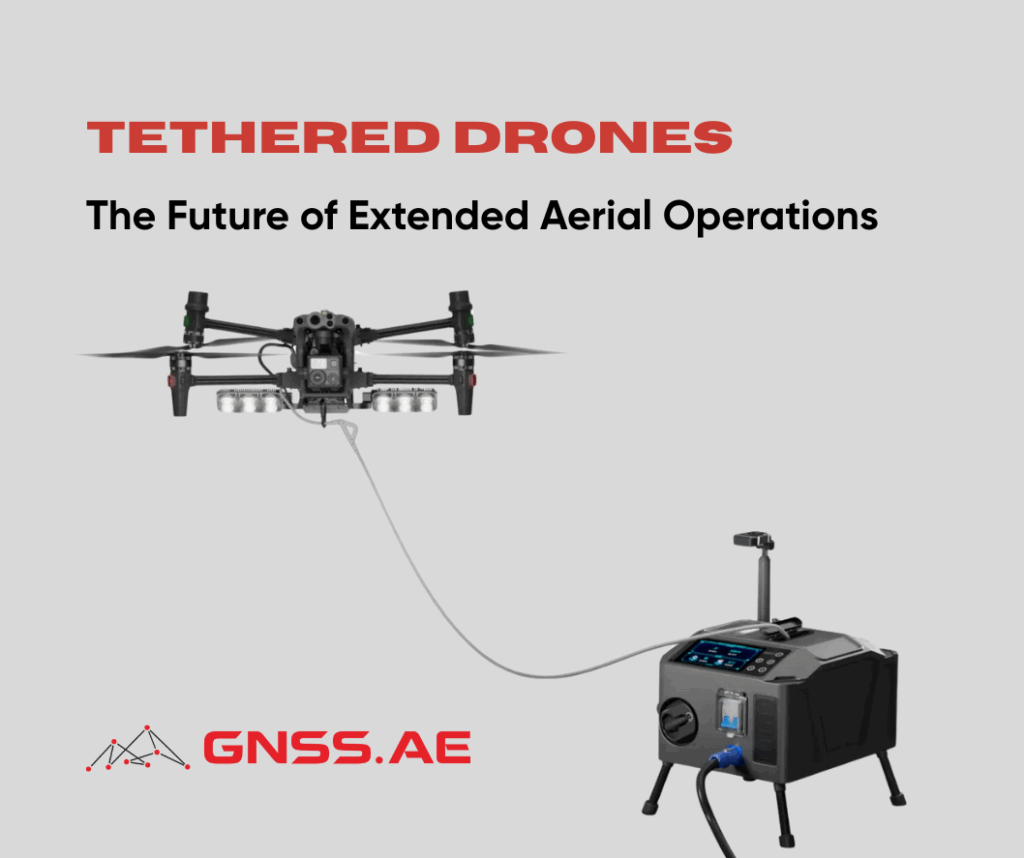
As drone technology continues to evolve, one innovation stands out for its ability to overcome traditional limitations: tethered drone systems.
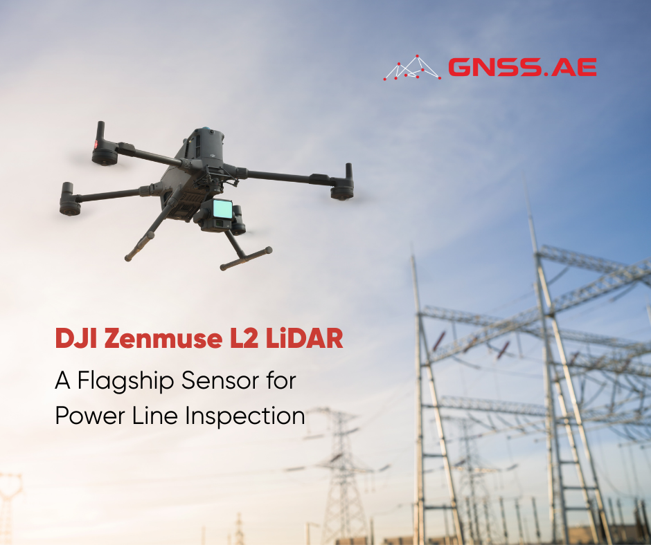
LiDAR technology has become indispensable in the modern electrical industry. During power line inspections, field teams frequently encounter significant challenges
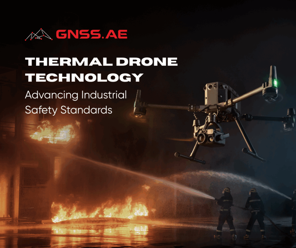
Industrial facilities face constant threats from equipment failures, gas leaks, and structural deterioration. A single undetected anomaly can trigger catastrophic
The oil and gas industry stands as a global powerhouse, fueling the engines of modern civilization. Yet this essential sector
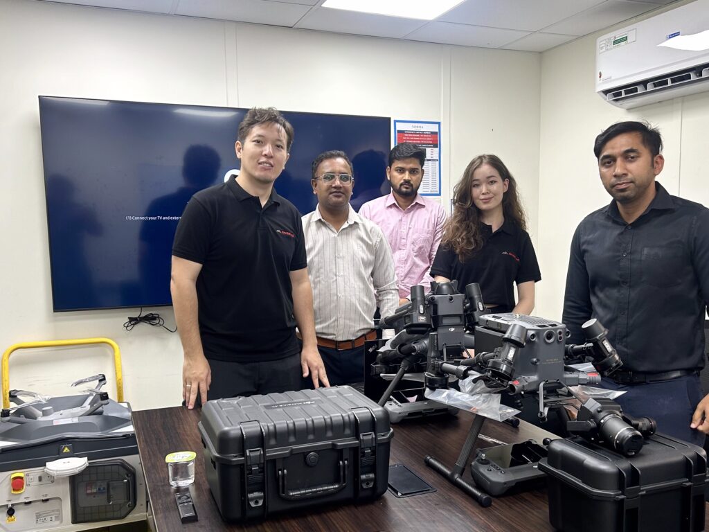
On August 19, GNSS.AE had the privilege of conducting a comprehensive on-site product demonstration for Sobha Construction, one of the
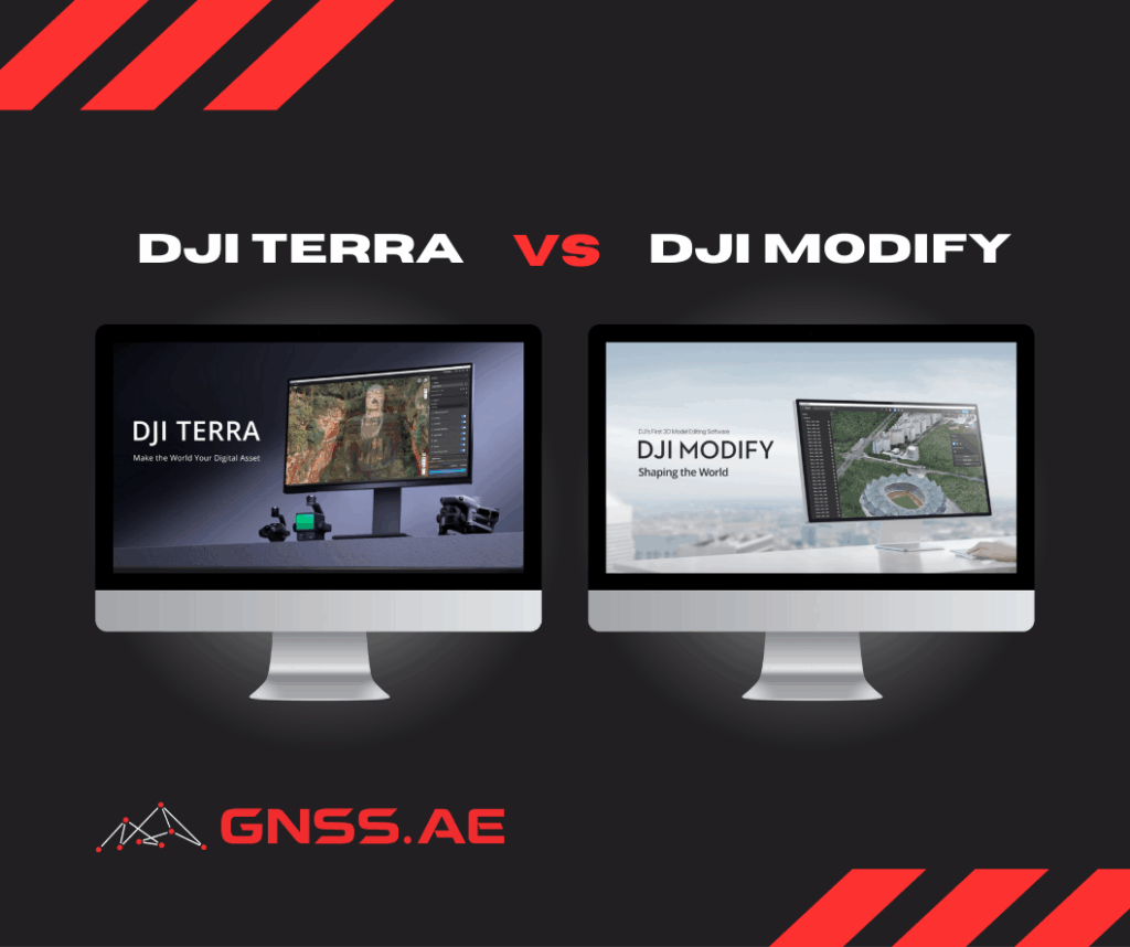
Choosing the right software for drone surveying can be challenging, especially when deciding between DJI Terra and DJI Modify. These
The mining industry, one of the world’s most critical sectors, is undergoing a dramatic transformation through the integration of drone
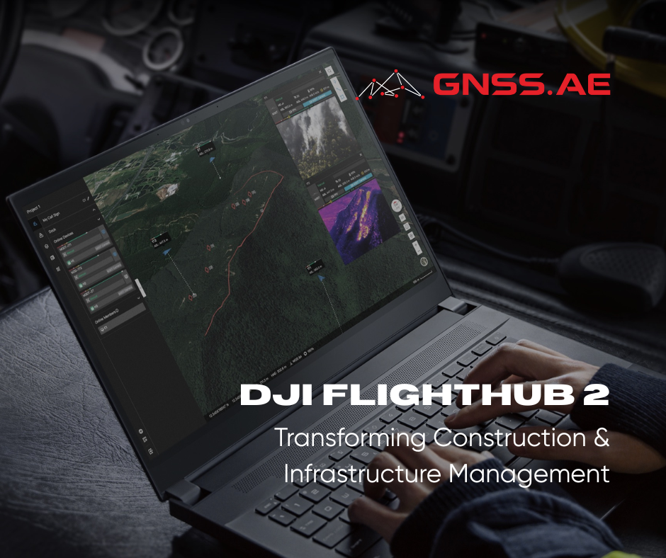
The architecture, engineering, and construction (AEC) industry is experiencing a digital revolution, and DJI is leading the charge with significant
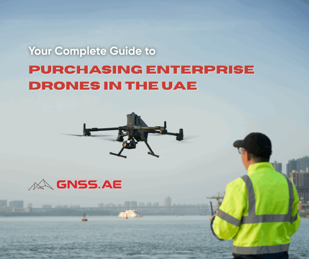
The commercial drone market in the UAE continues to expand rapidly as businesses across multiple sectors recognize the transformative potential
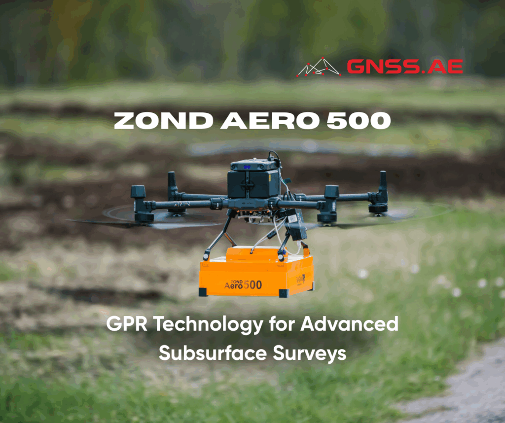
Ground Penetrating Radar has transformed subsurface exploration across multiple industries, enabling professionals to detect underground structures, utilities, and geological features
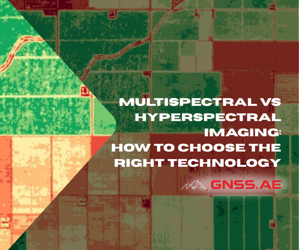
The world of spectral imaging has revolutionized countless industries, from precision agriculture to environmental monitoring. At the heart of this
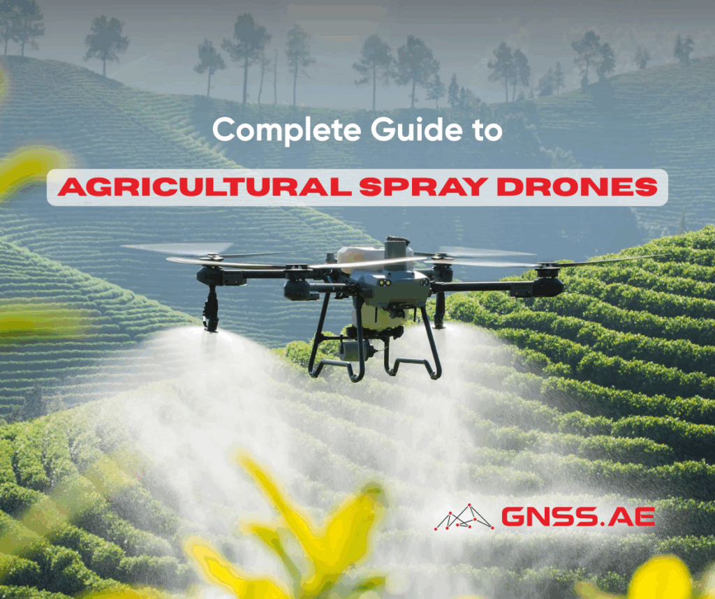
Agricultural spray drones are transforming modern farming by offering farmers an innovative and efficient method for applying pesticides, fertilizers, and
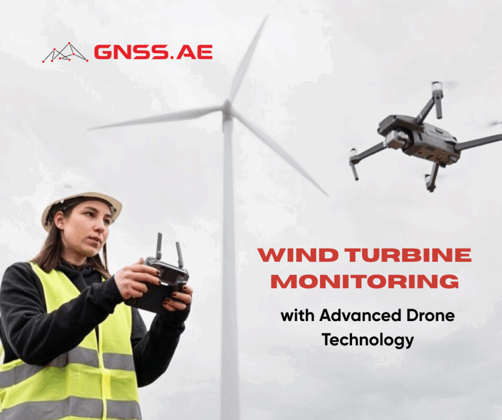
As the global energy transition accelerates toward renewable sources, wind energy has emerged as a cornerstone of sustainable power generation.

On July 28, GNSS.ae welcomed our strategic partner Soarability to our Dubai headquarters for an intensive collaboration session focused on
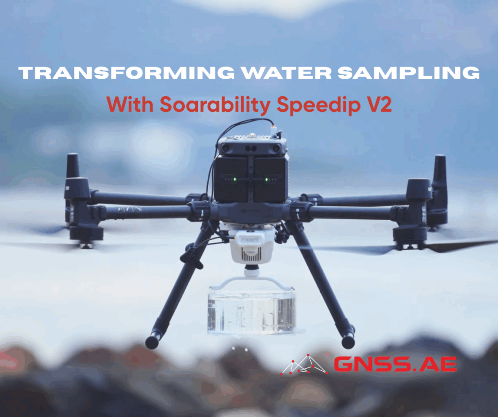
Environmental monitoring and research professionals frequently encounter significant challenges when conducting liquid sampling operations. Traditional collection methods, including manual sampling
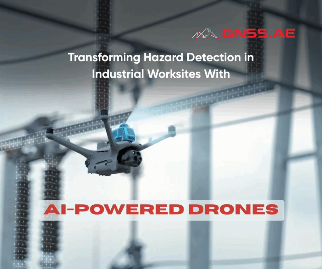
Industrial environments such as construction zones, oil refineries, and manufacturing plants are inherently hazardous. From structural instability to gas leaks
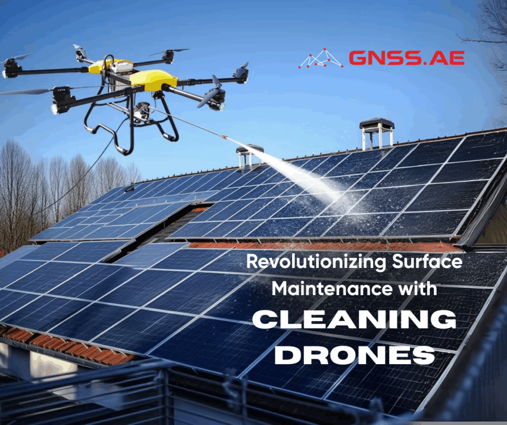
In today’s era of automation and smart technology, cleaning drones have emerged as a game-changing solution for exterior building maintenance.
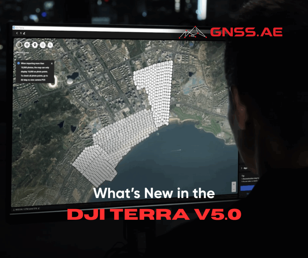
Released July 17, 2025, DJI Terra V5.0 sets a new standard for photogrammetry software with the introduction of 3D Gaussian
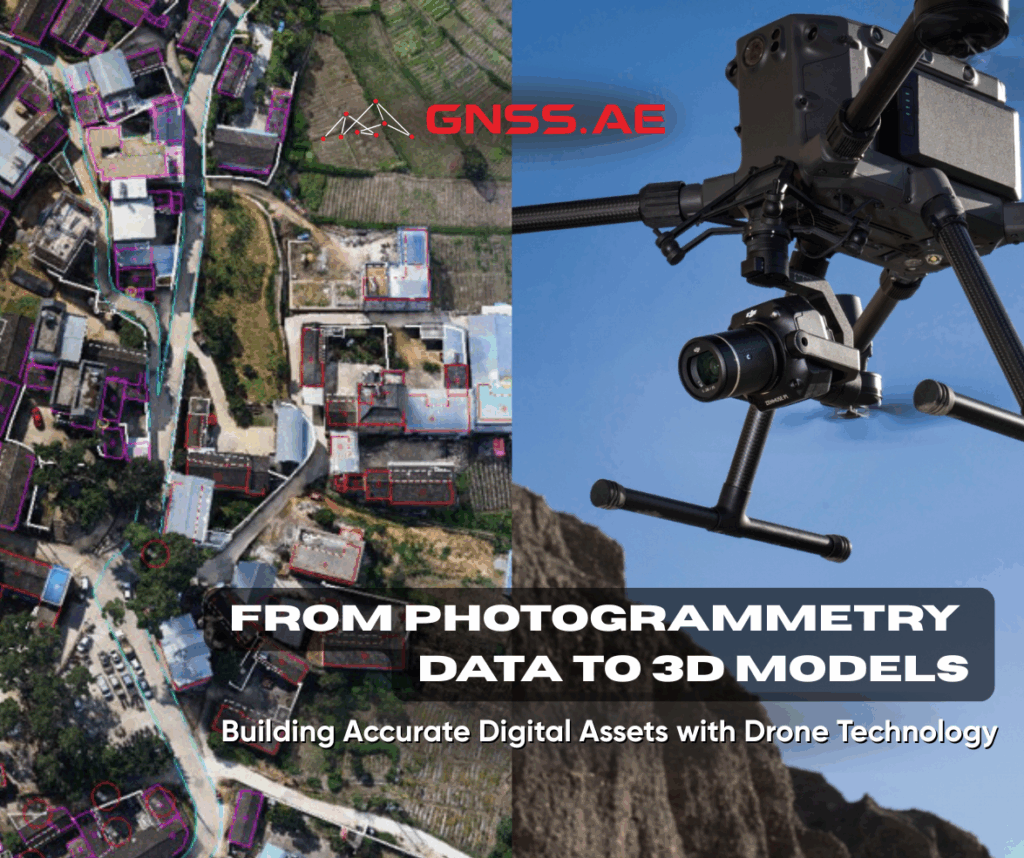
3D models are highly detailed digital assets that provide realistic and accurate representations of their real-world counterparts. When georeferenced, these
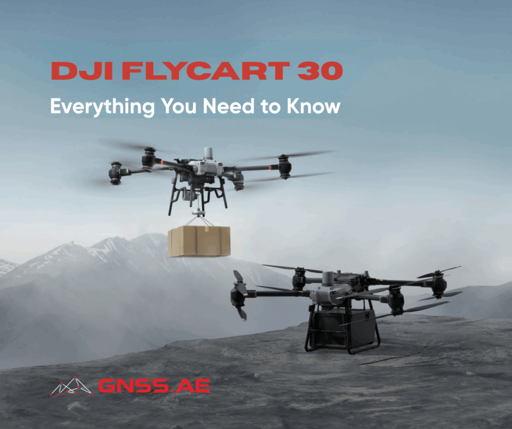
As logistics operations expand into remote, mountainous, offshore, or disaster-stricken regions, the demand for powerful and intelligent aerial delivery systems
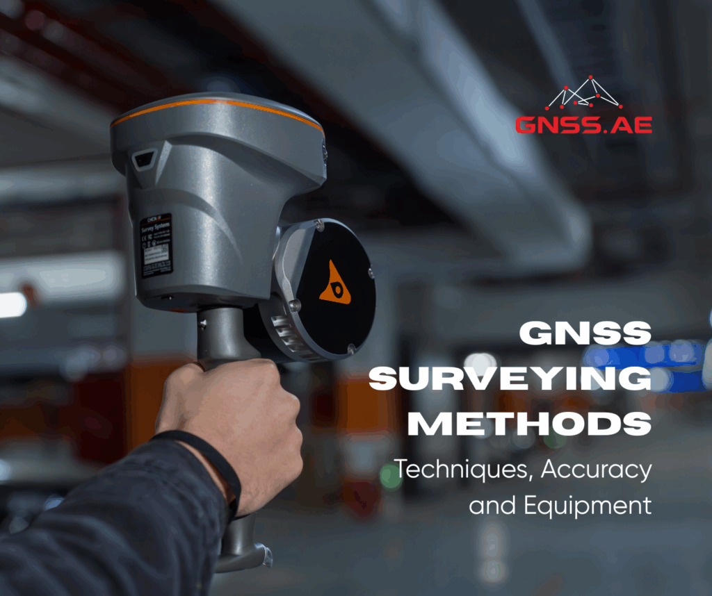
Surveying equipment is designed to minimize human errors and ensure the highest reliability of collected data. In this article, GNSS.AE
لطالما كان القياس المغناطيسي، أي قياس التغيرات في المجال المغناطيسي للأرض، ركنًا أساسيًا في الاستكشاف الجيوفيزيائي. وقد كانت المسوحات المغناطيسية،
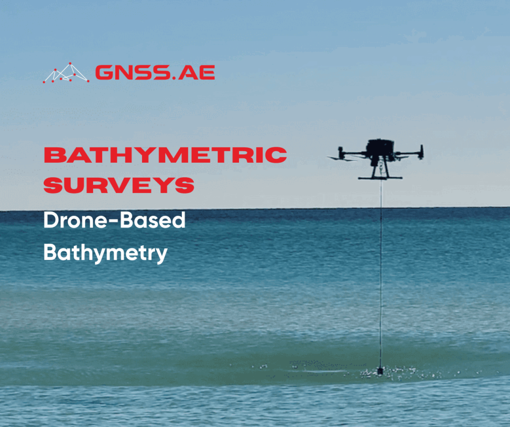
Bathymetry is the science of measuring water depths and mapping underwater landforms. Bathymetric surveys, also known as fathometric surveys, are
Real-Time Kinematic (RTK) is one of the most advanced technologies in the field of Global Navigation Satellite Systems (GNSS). It
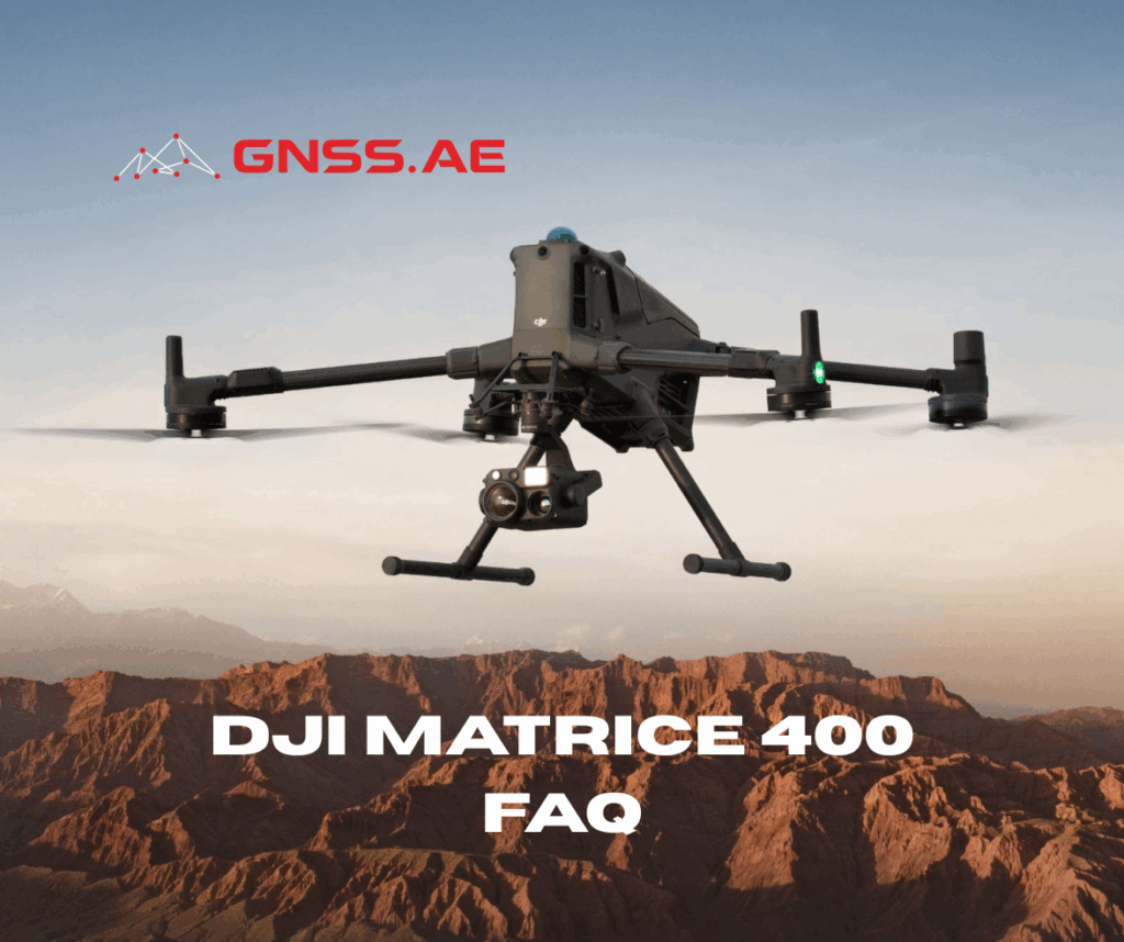
DJI Matrice 400 is emerging as the new standard for enterprise drone operations across industries such as energy, infrastructure, surveying,
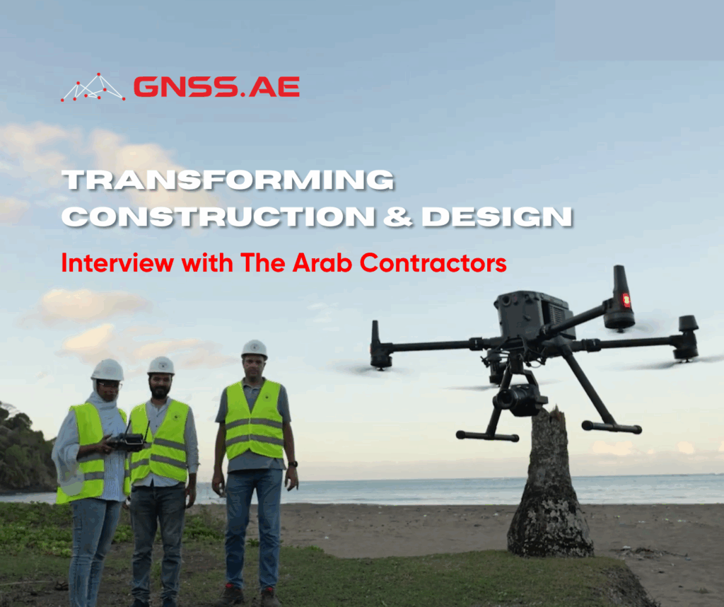
The Arab Contractors is a leading Egyptian construction and contracting company, established in 1955. With a strong presence across the
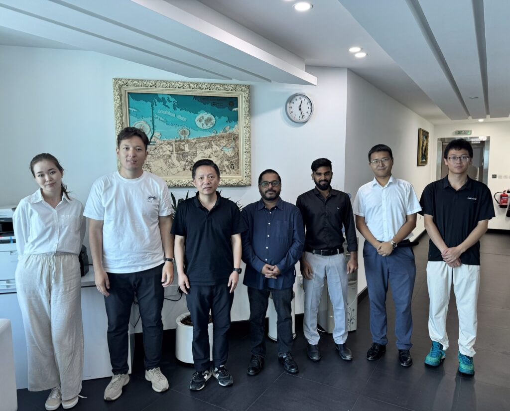
On July 1, the GNSS.AE team had the pleasure of welcoming our strategic partner, CHCNAV, for a live product demonstration
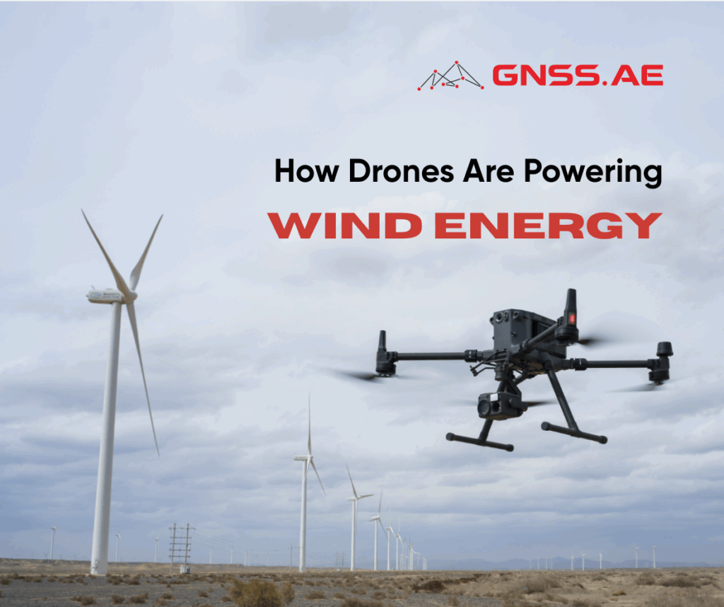
Wind energy is undergoing a transformative shift, powered by technological advancements and bold regional initiatives. From the heights of turbine
Magnetometry, i.e. the measurement of variations in the Earth’s magnetic field, has long been a cornerstone of geophysical exploration. Traditionally
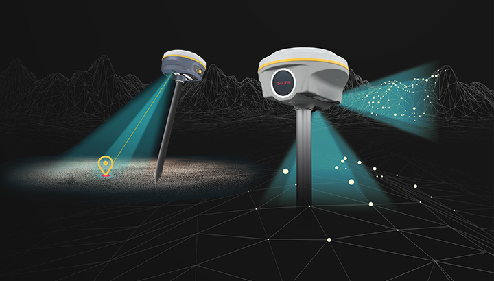
Global Navigation Satellite Systems (GNSS) have transformed the field of surveying by enabling professionals to obtain precise coordinates using satellite
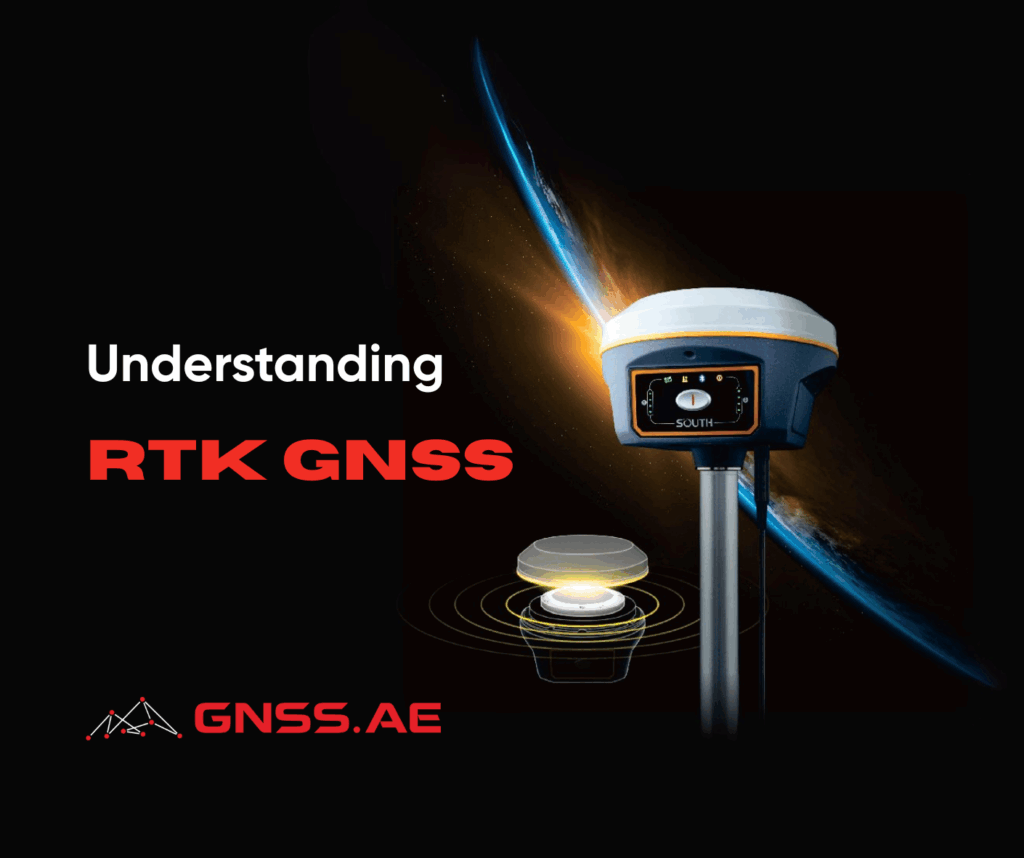
Real-Time Kinematic Global Navigation Satellite System (RTK GNSS) is a high-precision satellite positioning technology that has revolutionized how industries capture
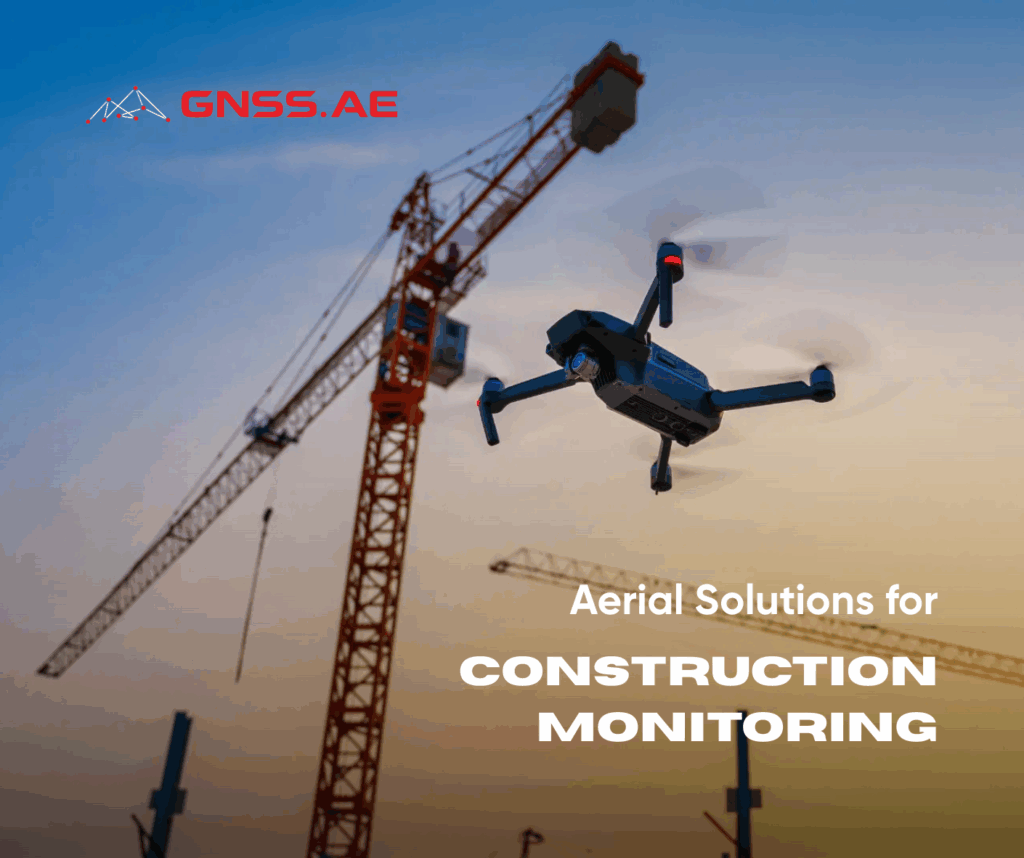
As the construction industry gradually embraces digital transformation, one technology stands out for its ability to deliver cost-effective, timely, and
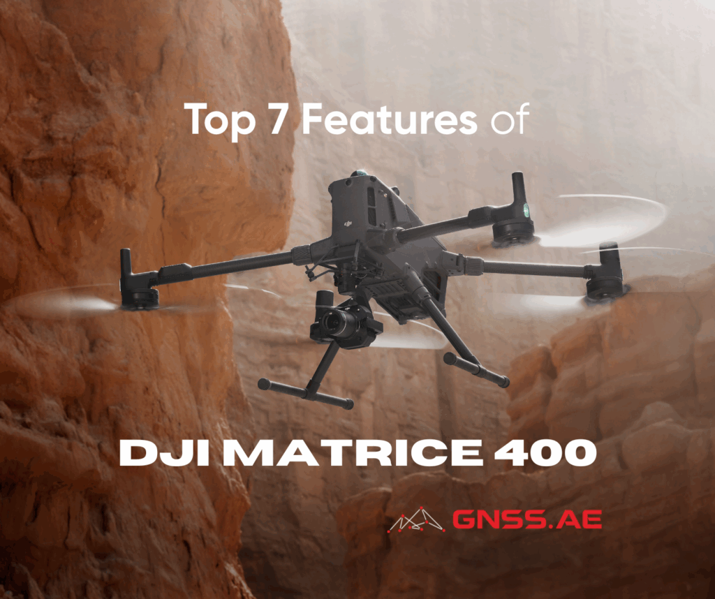
DJI’s latest enterprise drone—DJI Matrice 400—marks a significant milestone for the industrial drone operations. DJI M400 introduces a highly adaptable,
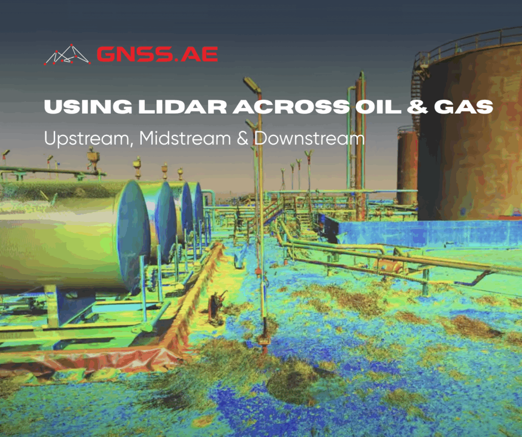
LiDAR (Light Detection and Ranging) has emerged as one of the most transformative geospatial technologies in the oil and gas