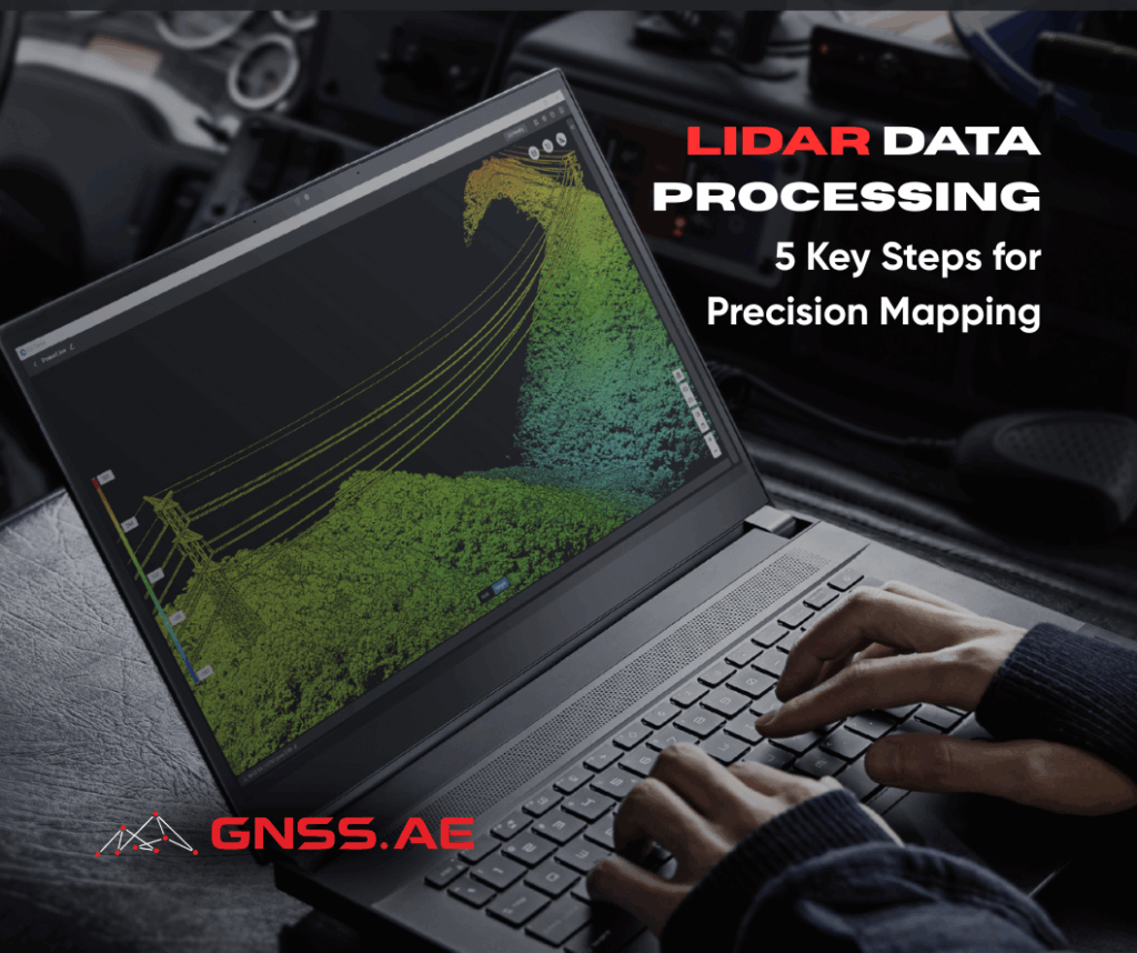
LiDAR (Light Detection and Ranging) has revolutionized the way we map, survey, and analyze spatial data. By capturing millions of laser points with remarkable precision, LiDAR enables the creation of highly detailed three-dimensional models of terrain, vegetation, and built environments. Today, it is an indispensable technology in industries such as construction, urban planning, environmental management, and forestry.
But how exactly do you process LiDAR data to achieve accurate, actionable results? In this article, we outline five essential steps in the LiDAR data processing workflow.
The first step is ensuring you have the right hardware and software for your project. LiDAR data collection typically requires a combination of drones, sensors, and specialized processing platforms.
Use a high-precision LiDAR sensor, such as the DJI Zenmuse L2, to capture accurate point cloud data.
Deploy a professional drone like the DJI Matrice 350 RTK, integrated with reliable processing software such as DJI Terra, for efficient data capture and management.
Proper preparation ensures that the entire workflow runs smoothly and that the data collected will meet project objectives.
Once your equipment and software are ready, the next step is field data collection. This involves scanning the target area using drones or other LiDAR-equipped platforms.
Choose a drone with stable flight performance, especially for challenging terrain and environmental conditions.
Follow a carefully planned flight path to maximize coverage and ensure uniform data density.
The output of this stage is a point cloud dataset, which forms the foundation for further processing and analysis.
Raw LiDAR data often contains “noise” such as unwanted reflections from vehicles, buildings, or other irrelevant objects. Cleaning and filtering the dataset is crucial to improve accuracy.
Use professional software such like DJI Terra or LiDAR360 to simplify and automate the filtering process.
Separate ground surfaces, vegetation, and man-made structures to prepare the data for modeling.
This results in a refined, high-quality dataset ready for analysis.
At this stage, the cleaned point cloud is transformed into usable geospatial products. Advanced LiDAR processing software can extract detailed information and generate various models.
Create Digital Terrain Models (DTM), Digital Surface Models (DSM), or Digital Elevation Models (DEM) depending on project needs. Learn more about Elevation Models in our detailed article.
Analyze features with precision, ensuring critical details are accurately identified for engineering, planning, or monitoring purposes.
Careful processing at this stage ensures that your data delivers reliable insights.
The final step is validation—checking that the processed data meets accuracy standards and project requirements.
Cross-verify models with ground control points or project specifications.
Identify and correct any errors before using the results in decision-making.
Verified datasets can then be confidently applied across use cases such as infrastructure development, irrigation management, land surveying, or urban planning.
LiDAR data processing delivers a powerful combination of precision, efficiency, and reliability for modern mapping and surveying. By following these five steps—preparation, data collection, cleaning, processing, and verification—you can ensure accurate outputs that drive successful project outcomes.
With the right combination of cutting-edge sensors, professional drones, and advanced processing software, LiDAR technology continues to set the standard for accurate spatial data collection and analysis.