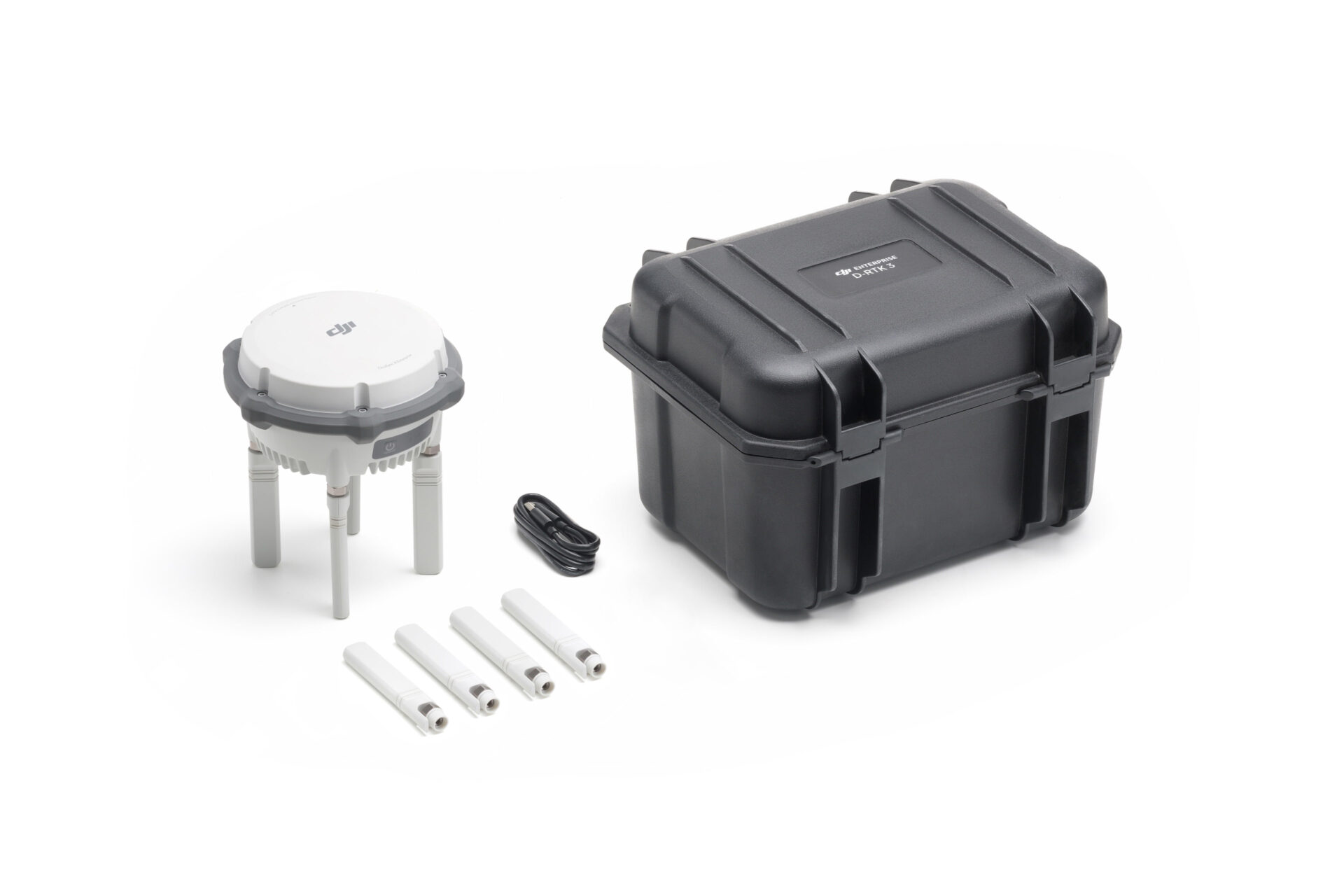
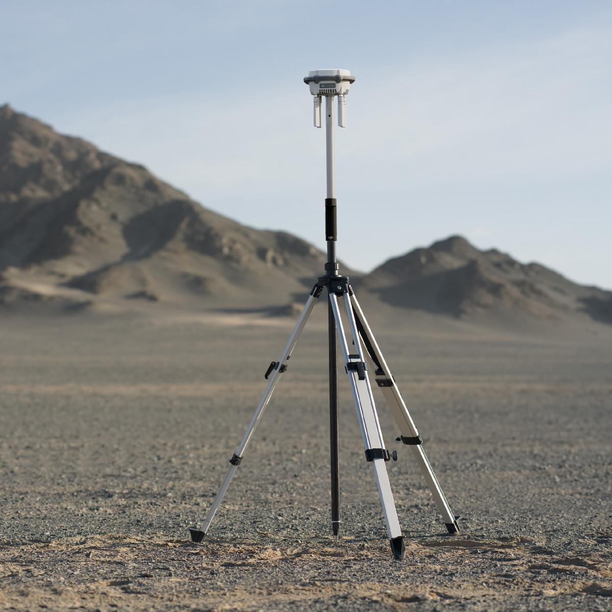
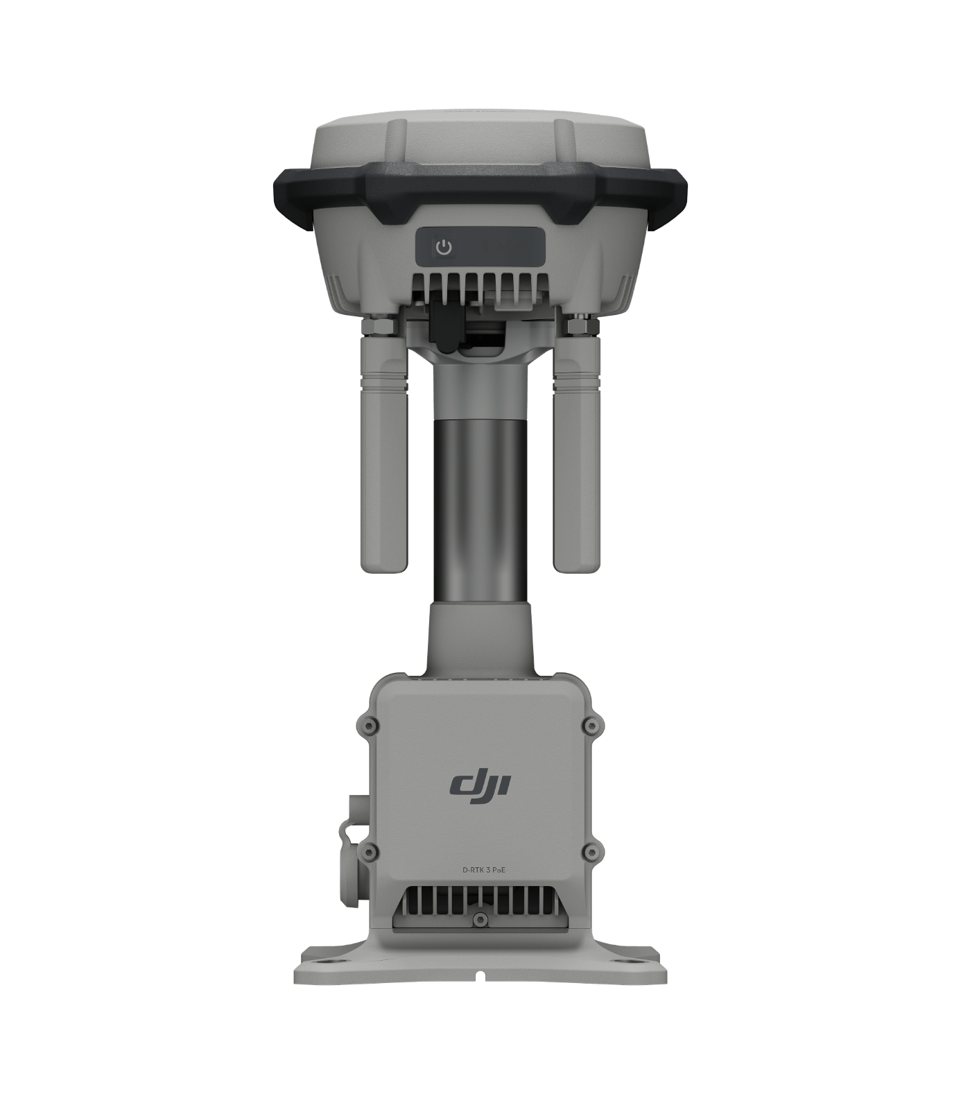
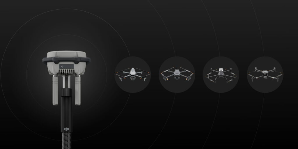
The new D-RTK 3 Multifunctional Station integrates high-performance antennas and receiver modules capable of tracking and resolving data from major global satellite navigation systems, and it supports multiple data transmission links. With these outstanding features, it can serve as a base station to provide centimeter-level positioning for multiple drones simultaneously or extend the operational range of drones and DJI Dock 3 in relay station mode.
AED 5,952.00
Available on back-order

Besides serving as a base station, D-RTK 3 can also be used as a rover station to collect control point coordinates, enhancing the accuracy of UAV aerial survey and improving survey precision.
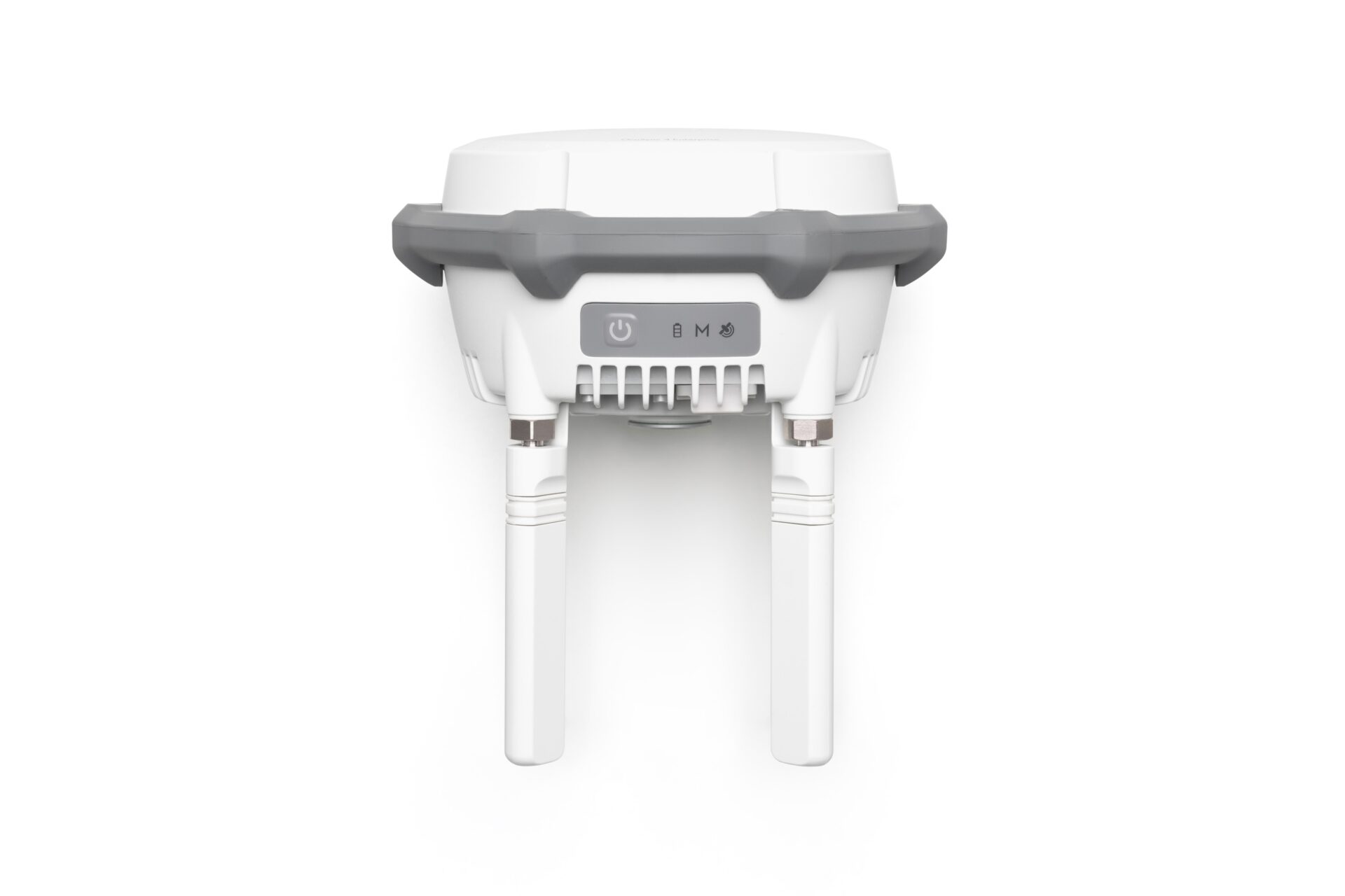
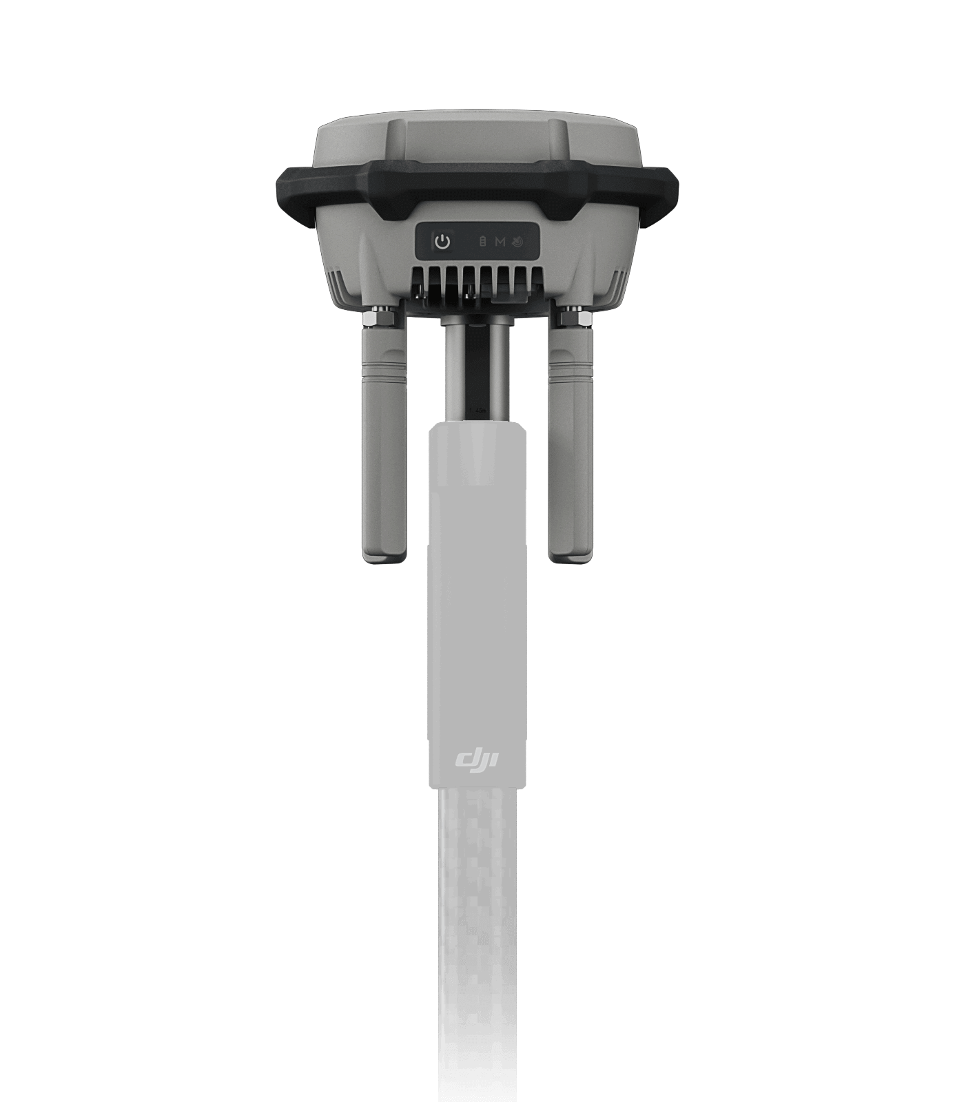
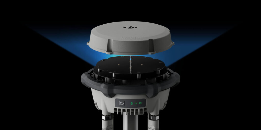
D-RTK 3 uses an air dielectric antenna with a filtering design, effectively tracking low-elevation satellites. The antenna phase-center accuracy is maintained within millimeter level, ensuring strong resistance to multipath interference and enabling high-precision positioning even in complex environments.
With its built-in receiver module, D-RTK 3 can receive satellite data from five major satellite systems across nineteen frequency points. Compared to network RTK, D-RTK 3 provides more accurate and stable positioning results under ionospheric effects.
D-RTK 3 utilizes DJI’s proprietary PPP solution, enabling satellite-based auto convergence*. It provides free decimeter-level positioning even in challenging network conditions.
* Currently supports BeiDou PPP-B2b only.
D-RTK 3 can receive RTCM data and automatically obtain coordinates and correct positions through the network. When used outdoors, it can achieve centimeter-level precision positioning without pre-measuring the setup point location.
Install the new DJI Enterprise app on an Android device to measure ground control point coordinates without third-party tools. When used with DJI drones supporting RTK, the DJI solution can efficiently complete an entire high-precision surveying workflow.
D-RTK 3 has a built-in high-precision inertial measurement unit, allowing the control point to be measured when the pole is held at an angle without a tripod or ensuring the base station is vertical, significantly improving operational efficiency in complex measurement environments.
Rover measurement results can be exported as control point files via the DJI Enterprise app and imported into DJI Terra without the need for additional format adjustments. With powerful algorithms, high-precision results can be easily generated.
Enterprise:
Agriculture:
Professional Filmmaking:
* Currently, only manual D-RTK 3 position calibration is supported. Please refer to official updates for future feature enhancements.
Relay Station Mode [2]:
Rover Station Mode:
* See the tested compatibility phone list on the download page for details.
| GNSS Frequency |
|
|---|---|
| System Accuracy* |
* Measurement accuracy depends on various factors. This value is obtained under normal conditions with an unobstructed view, good satellite distribution, low ionospheric activity, and no electromagnetic interference or multipath effects. |
| Satellite-Based Precise Point Positioning* | Supported Frequencies: BDS B2b, GALILEO E6**, L-BAND**
* Measurement accuracy depends on various factors. This value is obtained under normal conditions with an unobstructed view, good satellite distribution, low ionospheric activity, and no electromagnetic interference or multipath effects. |
| Differential Data Transmission Format | When used as a base station or relay station, records RTCM 3.2 raw observation data in DAT format.
In rover station mode or in calibration mode for base and relay stations:
|
| Initialization Reliability | >99.9% |
| Video Transmission System | O4 Enterprise |
|---|---|
| Operating Frequency |
Operating frequency allowed varies among countries and regions. Please refer to local laws and regulations for more information. |
| Transmitter Power (EIRP) |
|
| Bluetooth |
|
| Max Transmission Distance (unobstructed, free of interference) | Base Station Mode
Measured in an unobstructed outdoor environment free of interference. The above data shows the farthest communication range for one-way, non-return flights under each standard. Always pay attention to RTH reminders in the app during your flight. |
| Max Transmission Distance in Relay Station Mode (unobstructed, free of interference) | FCC
SRRC
CE
Measured in an unobstructed outdoor environment free of interference. The above data shows the farthest communication range for one-way, non-return flights under each standard. Always pay attention to RTH reminders in the app during your flight. The relay station should be placed in a elevated, unobstructed location to ensure clear communication between the remote controller and the aircraft. |
| Max Transmission Distance (unobstructed, with interference) |
Data is tested under FCC standards in unobstructed environments of typical interference. Only to serve as a reference and provides no guarantee as to the actual flight distance. |
| Max Transmission Distance (obstructed, with interference) |
Data is tested under FCC standards in unobstructed environments of typical interference. Only to serve as a reference and provides no guarantee as to the actual flight distance. |
| Relay Station Range Extension Effect | Relay Station Performance Enhancement:
The relay station must be deployed in an elevated, unobstructed location free of interference. |
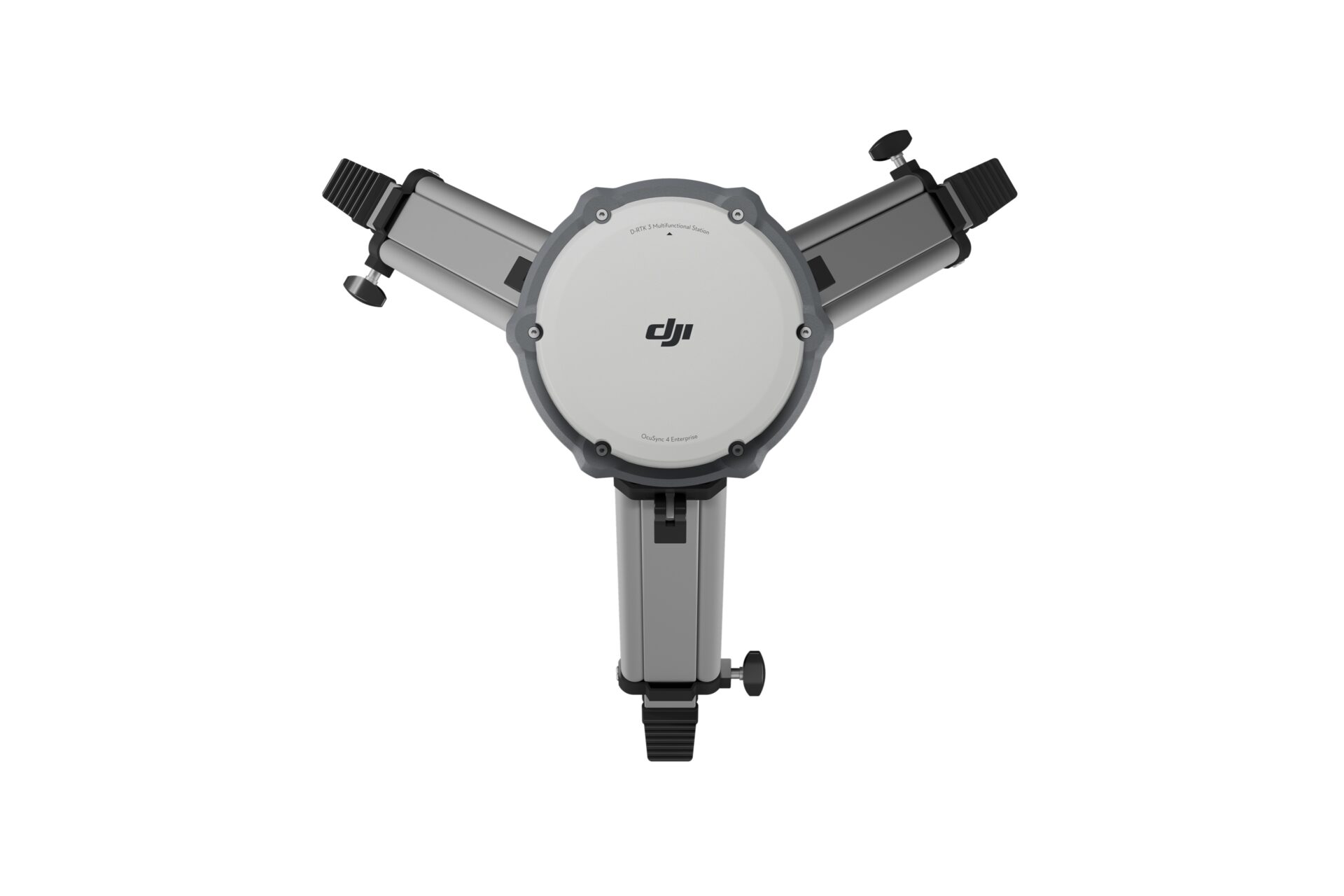
| Antenna | OcuSync 4 directional antennas× 4, 2T4R
The antenna uses a standard reverse polarity SMA connector. |
| Others | D-RTK 3 Relay Fixed Deployment Version: Compatible with DJI Cellular Dongle 2 |
| Power | D-RTK 3 Multifunctional Station:
* Maximum power consumption without heating. When connected to a USB-C power supply above 9V, maximum power consumption with heating is 36.5 W. D-RTK 3 Relay Fixed Deployment Version:
** Max power consumption without heating. When connected to a PoE power supply of Type 4, maximum power consumption with heating is 36.5 W. |
|---|---|
| Power Output Port |
|
| Supported Power Adapter | D-RTK 3 Multifunctional Station:
|
| Battery Operating Time (Under Normal Temperature)* | D-RTK 3 Multifunctional Station:
D-RTK 3 Relay Fixed Deployment Version:
* Battery performance may decrease in low temperatures; it is recommended to use power adapters that support the USB PD 3.0 protocol. |
| Ethernet Cable Requirements |
|
| Battery |
|
| Operating Temperature |
1. In normal temperature environments, charging power will be limited if the device shell temperature exceeds 48°C (118.4°F). Full power charging will resume after cooling. |
|---|---|
| Altitude | 6000 m |
| Protection Rating |
* Please ensure all rubber seals are securely installed for optimal performance. |
| Drop Resistance | D-RTK 3 Multifunctional Station: 2 m drop with pole |
| Dimensions |
|
| Weight |
|
Inquire price for DJI D-RTK 3 Multifunctional Station