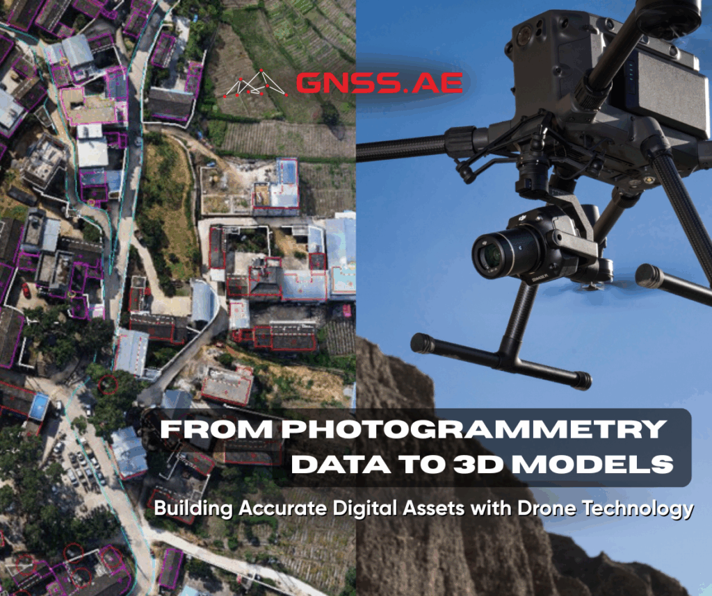
3D models are highly detailed digital assets that provide realistic and accurate representations of their real-world counterparts. When georeferenced, these models become powerful tools for planning, analysis, calculations, and enhanced decision-making—benefiting industries such as AEC, public safety, oil and gas, and heritage conservation.
In the Middle East and North Africa (MENA), the 3D mapping and 3D modeling market is experiencing significant growth. This trend is driven by increasing adoption of advanced geospatial technologies across sectors like urban planning, construction, and defense. According to the 2024 market report by Horizon, the 3D mapping and modeling market in the MEA region is projected to reach US$ 398.4 million by 2030, with a compound annual growth rate (CAGR) of 9.1% from 2025 to 2030.
Key factors contributing to this growth include the rising demand for accurate and real-time spatial data to support smart city initiatives and infrastructure development projects. In parallel, advancements in drone technology, LiDAR, and photogrammetry have improved the efficiency and precision of 3D mapping processes, making them more accessible and cost-effective for regional enterprises. Government investment in digital transformation and sustainable development goals further fuels market momentum, promoting the use of 3D geospatial data in policy-making and environmental monitoring.
Drones are central to this transformation—enabling fast, safe, and accurate data capture for 3D modeling.
Leveraging drones for 3D modeling presents several advantages over traditional data collection methods:
Efficiency & Speed
Drones can rapidly survey large areas from the air, significantly reducing the time required for data collection. This efficiency is critical for projects needing timely or frequent updates.
Cost-Effective
Drone-based 3D modeling eliminates the need for manned aircraft or extensive ground-based equipment, offering a more budget-friendly solution.
Accessibility
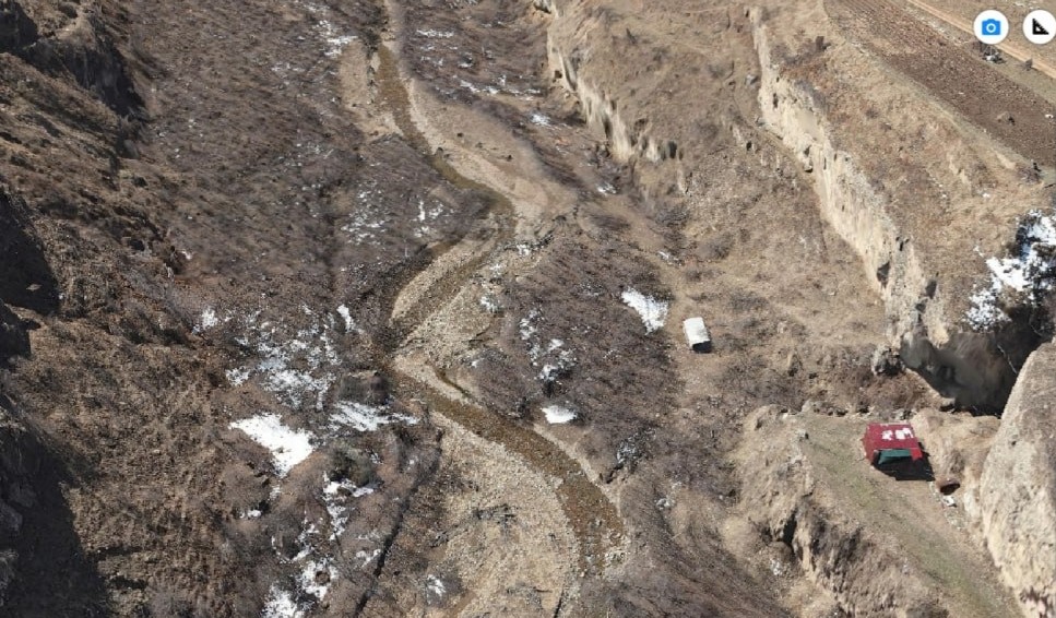
Drones can reach difficult or hazardous locations, such as steep terrain, active construction zones, or disaster-affected areas, with ease.
High-Resolution Imaging
Equipped with high-resolution cameras, drones capture detailed imagery that contributes to the creation of accurate and realistic 3D models.
A wide range of sectors can leverage drone photogrammetry for enhanced outcomes:
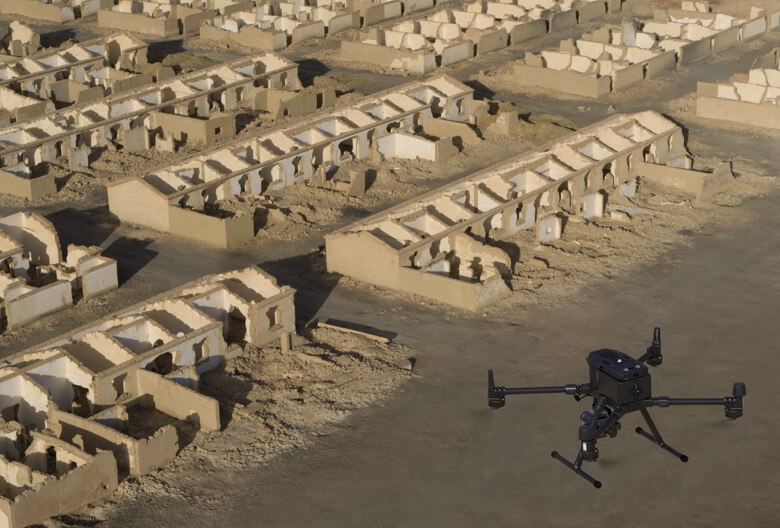
Image Overlap
Overlapping imagery provides multiple angles for each point, improving depth perception and model accuracy.
Flight Pattern
Preset flight paths help ensure consistent, high-resolution coverage. If your drone lacks automation, plan your flight carefully.
Altitude
Lower altitudes yield higher resolution but slower coverage. Choose altitude based on the level of detail needed.
Processing Software
The quality of your final model depends on both the data captured and the software used for processing.
Lighting Conditions
Fly during midday with vertical sunlight for optimal clarity. Avoid early morning or late afternoon flights to minimize shadows.
The camera is pointed directly downward.
The camera is angled for side views.
Recommendation: Use a hybrid approach—Nadir for contextual mapping, and Oblique for structural detail.
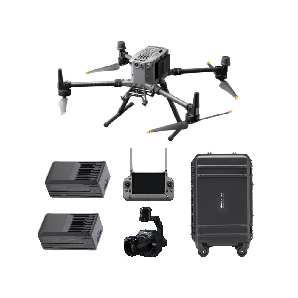
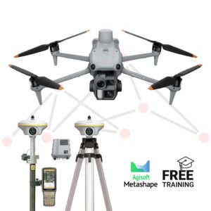
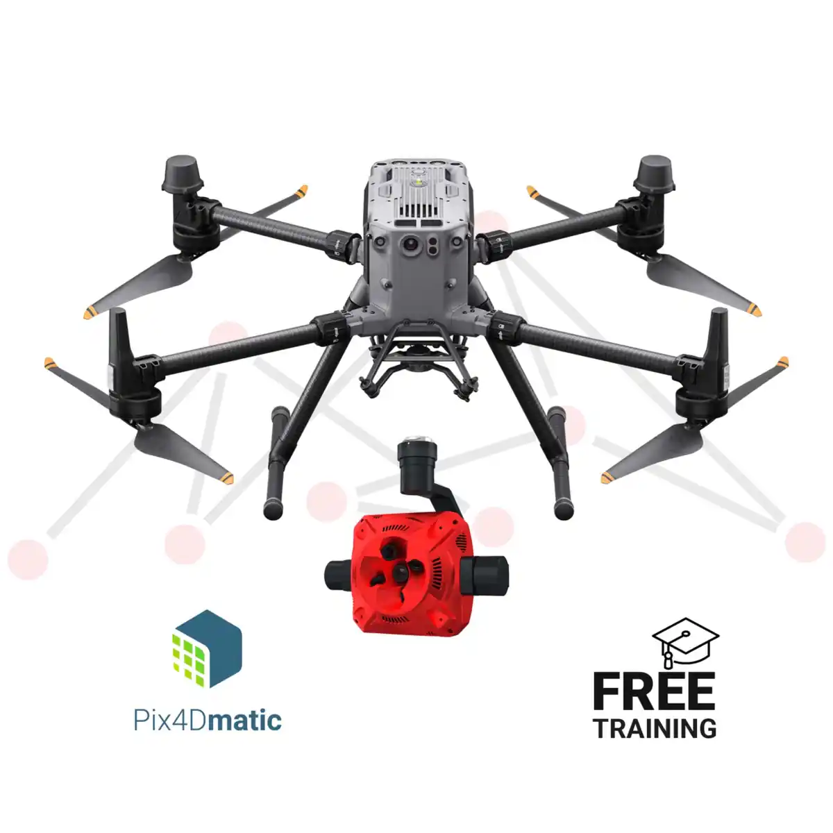
At GNSS.ae, we offer complete photogrammetry solutions tailored for professional and enterprise use—combining high-performance drones, high-resolution cameras, GNSS receivers, and industry-leading processing software. Our product bundles are designed to streamline aerial data capture and 3D modeling workflows across sectors such as construction, surveying, oil and gas, and public safety. Whether you’re launching your first drone-based mapping project or scaling up an existing operation, GNSS.ae provides the tools and expertise to support accurate, efficient, and scalable geospatial data acquisition.

3D models are powerful digital assets that serve a variety of industries by offering rich, realistic visualizations. Drones streamline the capture of this data with speed, safety, and precision. By following the outlined photogrammetry workflow, professionals can produce highly detailed, data-rich 3D models that support smarter decision-making and efficient project execution.