Sniffer4D consists of a multi-gas detection hardware and powerful analytic software. This system is able to measure and visualize real-time 3D gas concentration distributions. By providing timely & actionable information, Sniffer4D helps first responders, oil & gas industry, environmental agencies, and researchers improve work efficiency, mitigate risks, and reduce costs.
Simplified workflow | Flexible sensor configuration
Compatible with various mobile platforms | Reliable and comprehensive data set
Real-time data transmission and analysis (4G) | Generates 2D/3D spatial distributions in real-time | One-click delivery of results
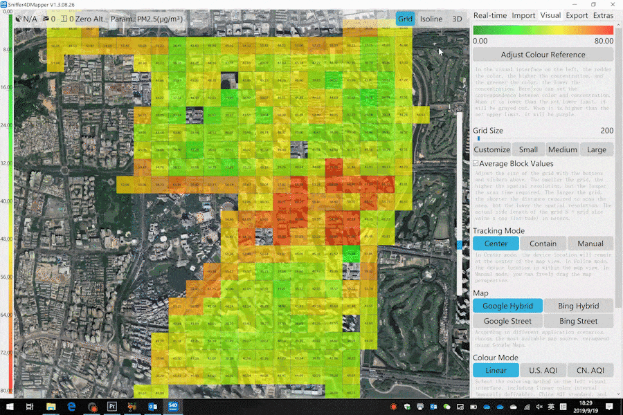
Captures spatial distributions of gases and particles
Generates 2D/3D concentration maps in real time
Significantly improves work efficiency and reduces risks and costs
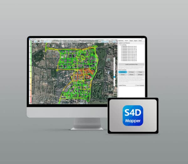
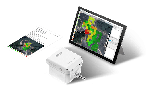
Sniffer4D Mapper visualises and analyses Sniffer4D data in real time, providing intuitive information (e.g. 2D/3D pollution distribution, PDF mission reports) for decision makers.
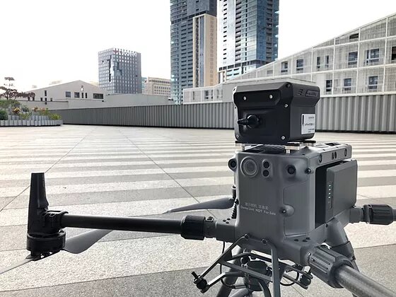
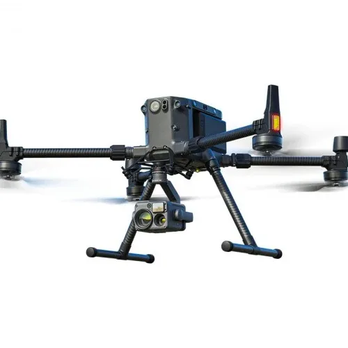
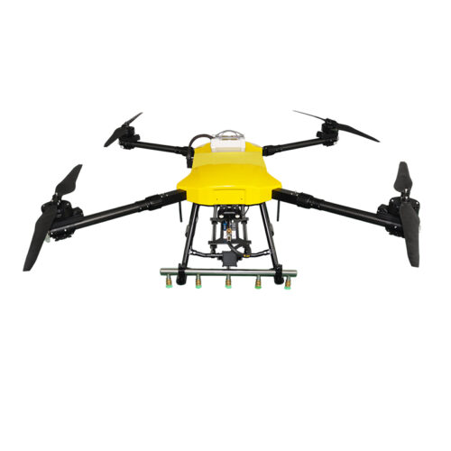
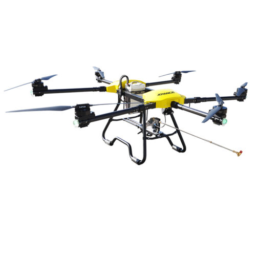
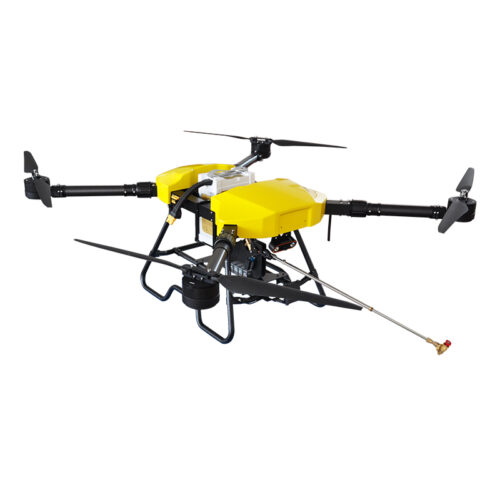
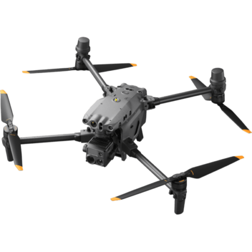
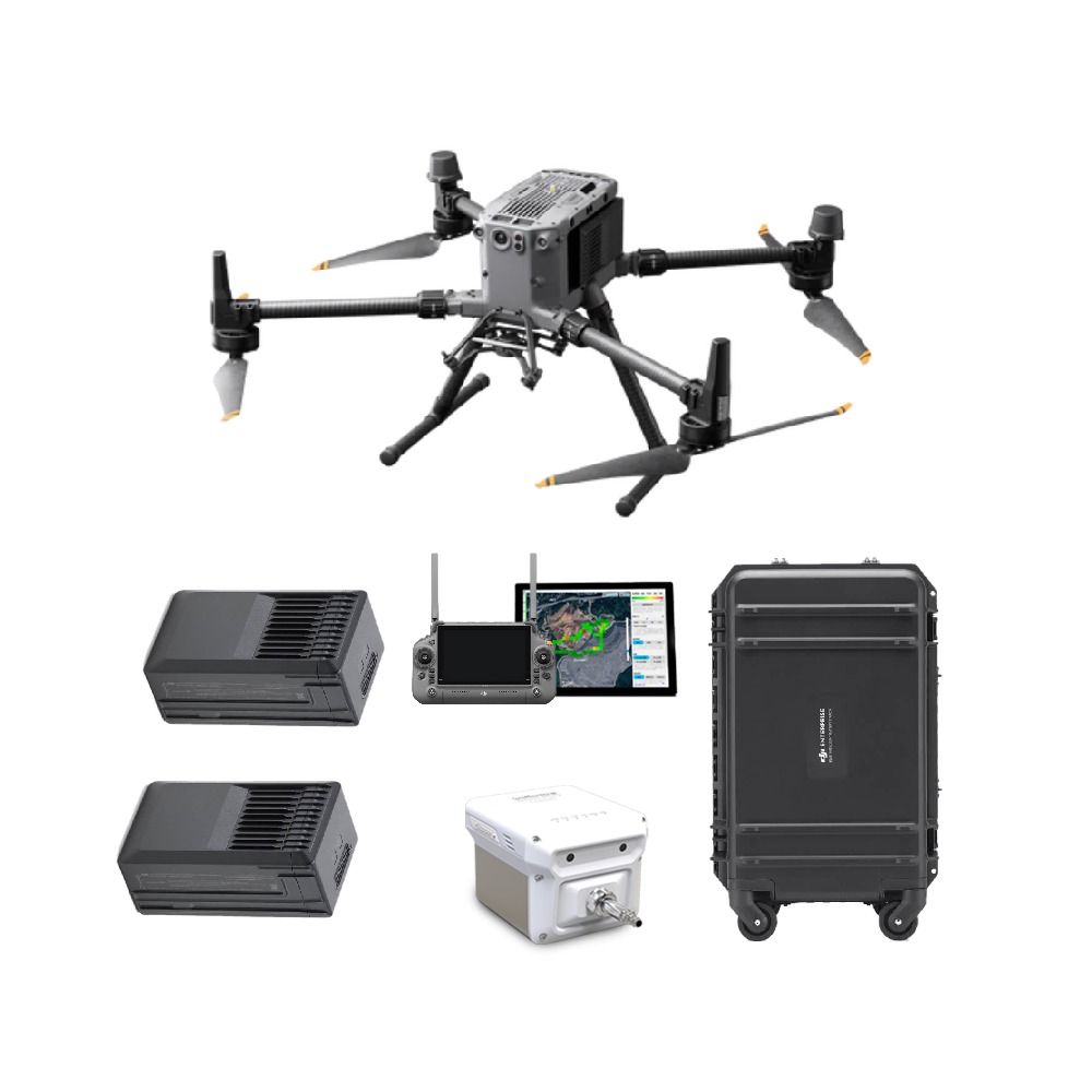
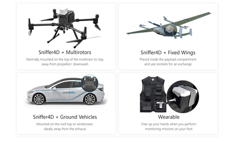
Sniffer4D V2 integration kits are available for commonly used drones (DJI Mavic 2 and 3, Matrice 200/210/300/600, Autel Evo II) and land vehicles (car, utility).
These help you easily integrate your Sniffer4D V2 with most air and ground platforms for accurate air quality measurements and analysis.
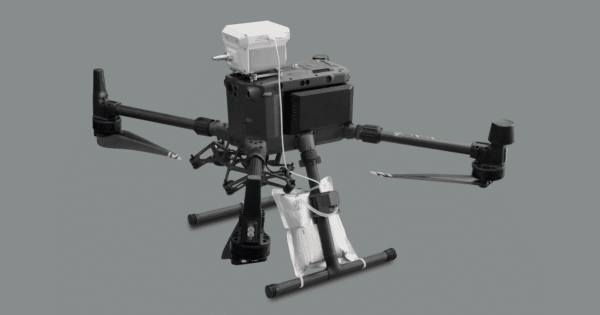
Start or stop gas sampling via the DJI Pilot or Sniffer4D Mapper application. Adaptable to gas sampling bags of different capacities.
Automatic shutdown when the bag is full. Easy integration with DJI M300RTK. Plug & play.
Generate 2D grids, 2D contours and 3D point clouds of gases and particles in real time.
Turn any ground vehicle into an air pollution detection and mapping platform.
No drilling or wiring is required. Mounting or dismounting can be done by one person in 15 seconds. Compatible with almost all land vehicles, including vans, buses and taxis.
The Sniffer4D V2 ground vehicle integration kit seamlessly integrates Sniffer4D, pump, battery system, and external GNSS module into a single device that can operate independently. Simple operations minimise the cost of training while avoiding operating errors.
Only one team is required for system installation and data collection, reducing the overall cost of obtaining hyperlocal information. Ultra-high spatial resolution. The Sniffer4D records data at 1Hz. Theoretical spatial resolution is up to 5 ~ 22 m at normal driving speed (20 ~ 80 km/h).
Sniffer4D V2 transmits data via a cellular network with unlimited range. You can view the data in real time from anywhere.
Only one team is required for system installation and data collection, reducing the overall cost of obtaining hyperlocal information. Ultra-high spatial resolution. The Sniffer4D records data at 1Hz. Theoretical spatial resolution is up to 5 ~ 22 m at normal driving speed (20 ~ 80 km/h).
Inquire price for Sniffer4D Drone Based Multi-Gas Detection System