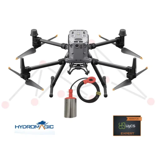
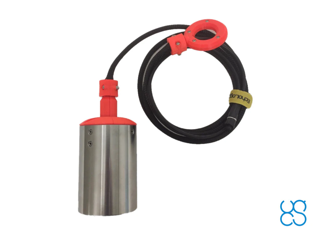
EchoLogger ECT D24S dual-frequency echo-sounder plus all required components and software for use with DJI M350/M300/M600 drones (drone not included).
For other types of drones, please ask for a quote.
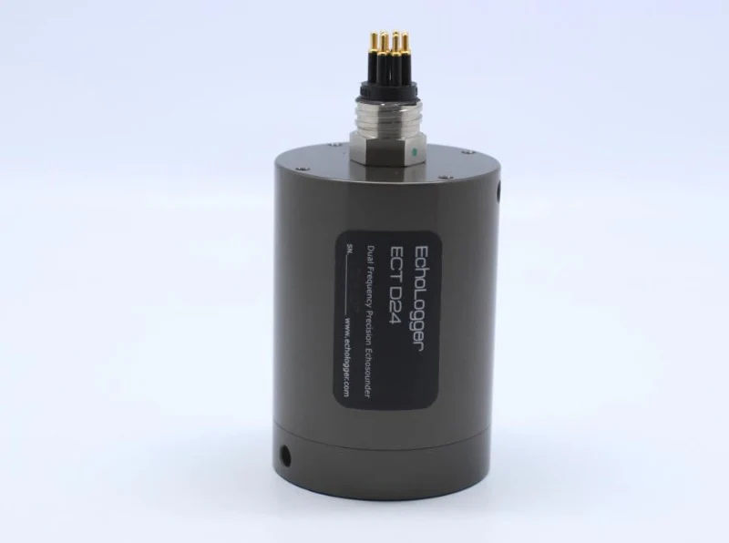
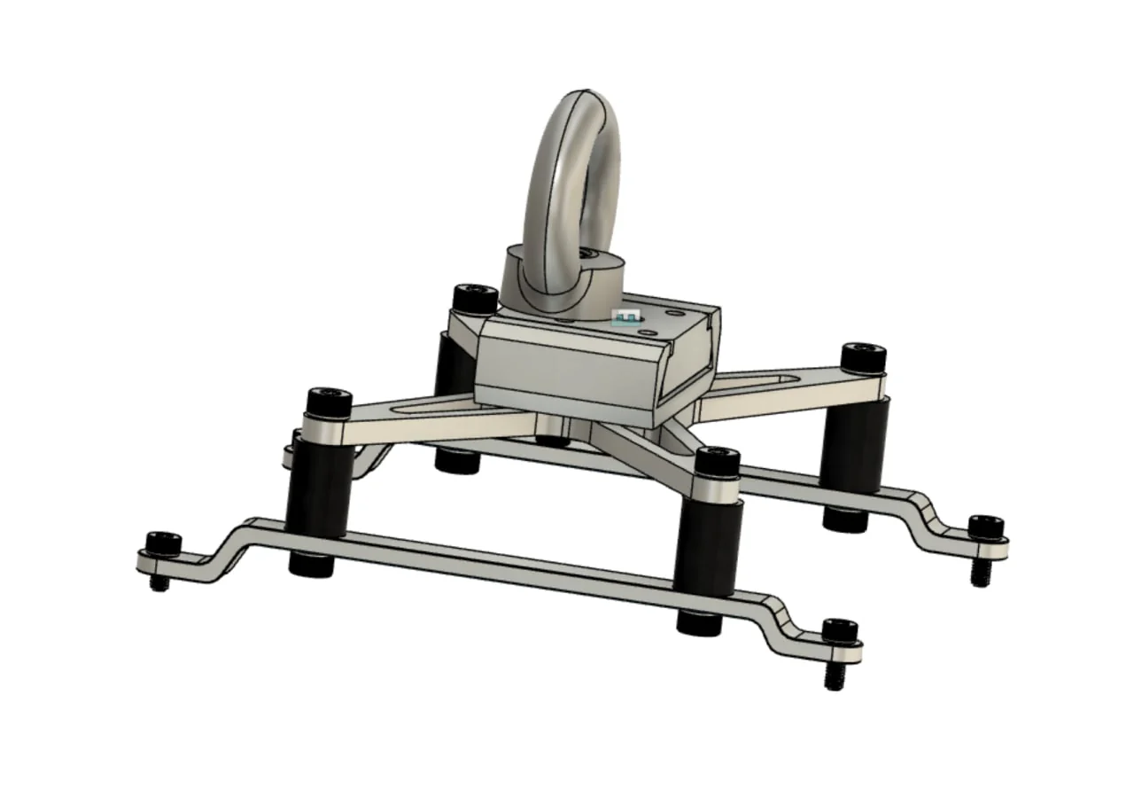
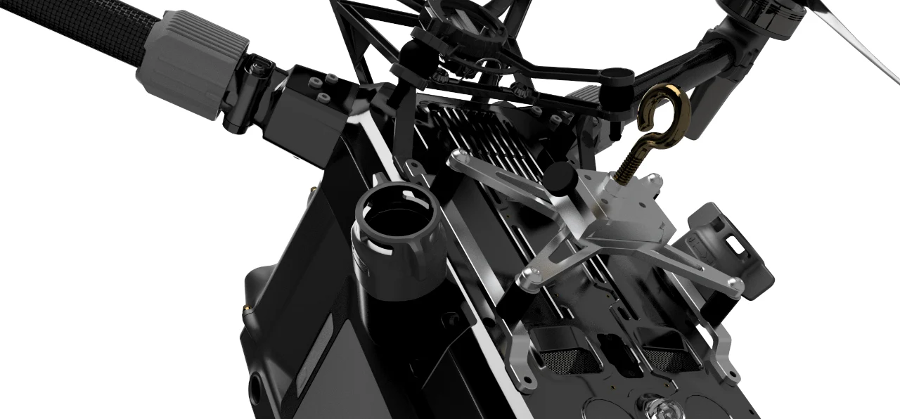
EchoLogger ECT D24S dual-frequency echo sounder with tilt and temperature sensor, harness, housing, and mountings for the drone.
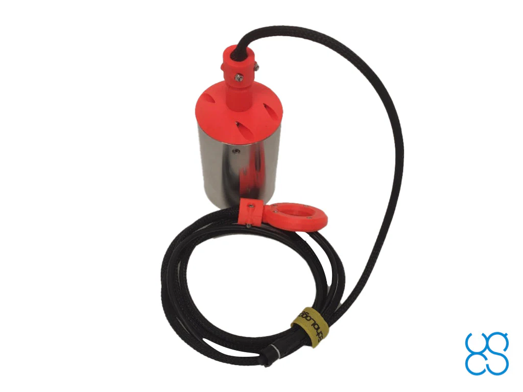
The echo sounder cable is protected by a plastic sleeve which also supports the echo sounder and housing weight.
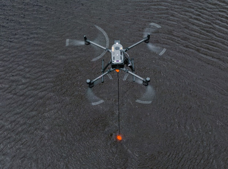
ECT D24S has optimal combination of frequencies for shallow ponds/lakes/rivers with a lot of seaweeds. For 200kHz it will report continuous reflection from the bottom, 450kHz allows to “cover” shallow areas where low frequency will be useless because of dead zone.
Comes with an RS232 interface and connector for SkyHub.
Cable length 2.5m.
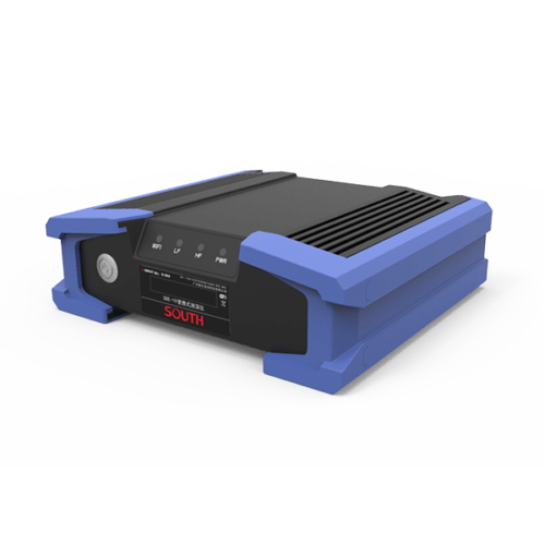
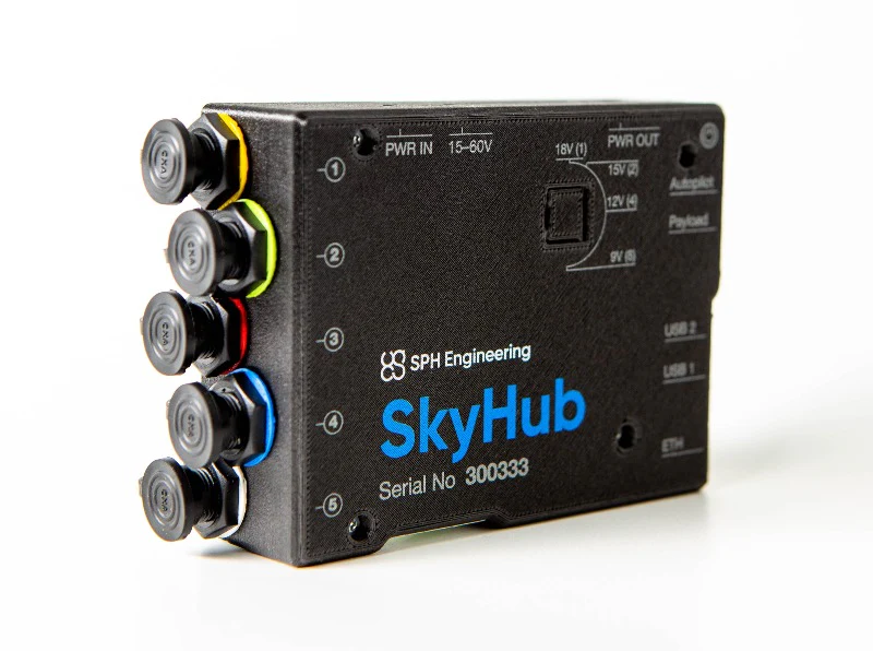
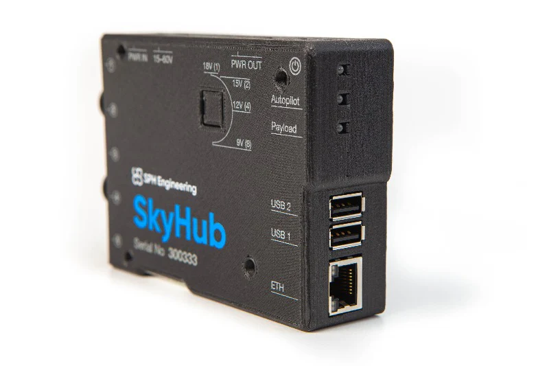
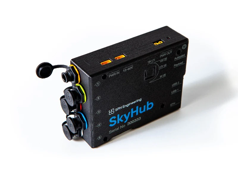
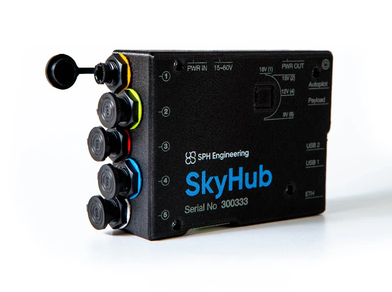
SkyHub is an onboard computer to log geotagged data from various sensors like GPR, altimeter, magnetometer, echo sounder, or methane detector.
HS Code: 90158020 (meteorological, hydrological, geophysical instrument)
Packaging information:
By default SkyHub comes with mountings and cables for the DJI M300/M350 RTK drone. Mounts and cables for other types of drones are available upon request.
The SkyHub should not be ordered separately, it is only useful when combined with various kits/sensors and software options. If you think you only need SkyHub, please request a quote and we’ll get back to you as soon as possible.
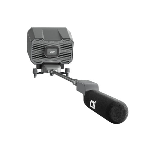
Radar altimeter for SkyHub onboard computer.
The main benefit of radar altimeter: it works in ANY conditions like bright sun, fog, snow, rain, and over any type of surface.
It is the customer’s responsibility to check the possibility to use a 24Ghz altimeter in a particular country.
For new customers, it is recommended to order a combo consisting of software, hardware, and training.
HS Code: 90151000 (rangefinders)
FCC ID: 2A6WU-NRA24
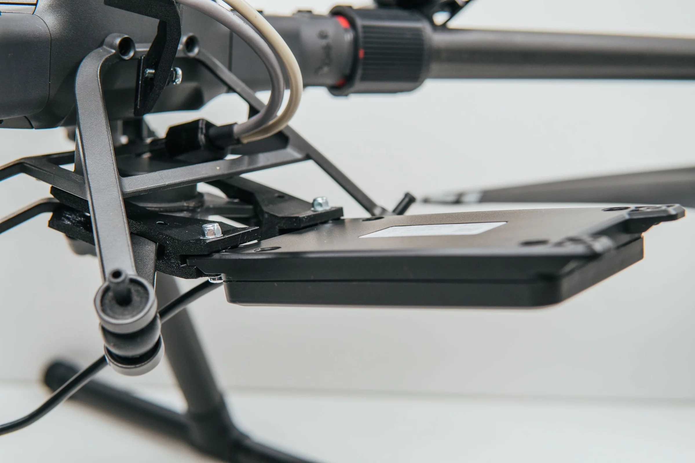
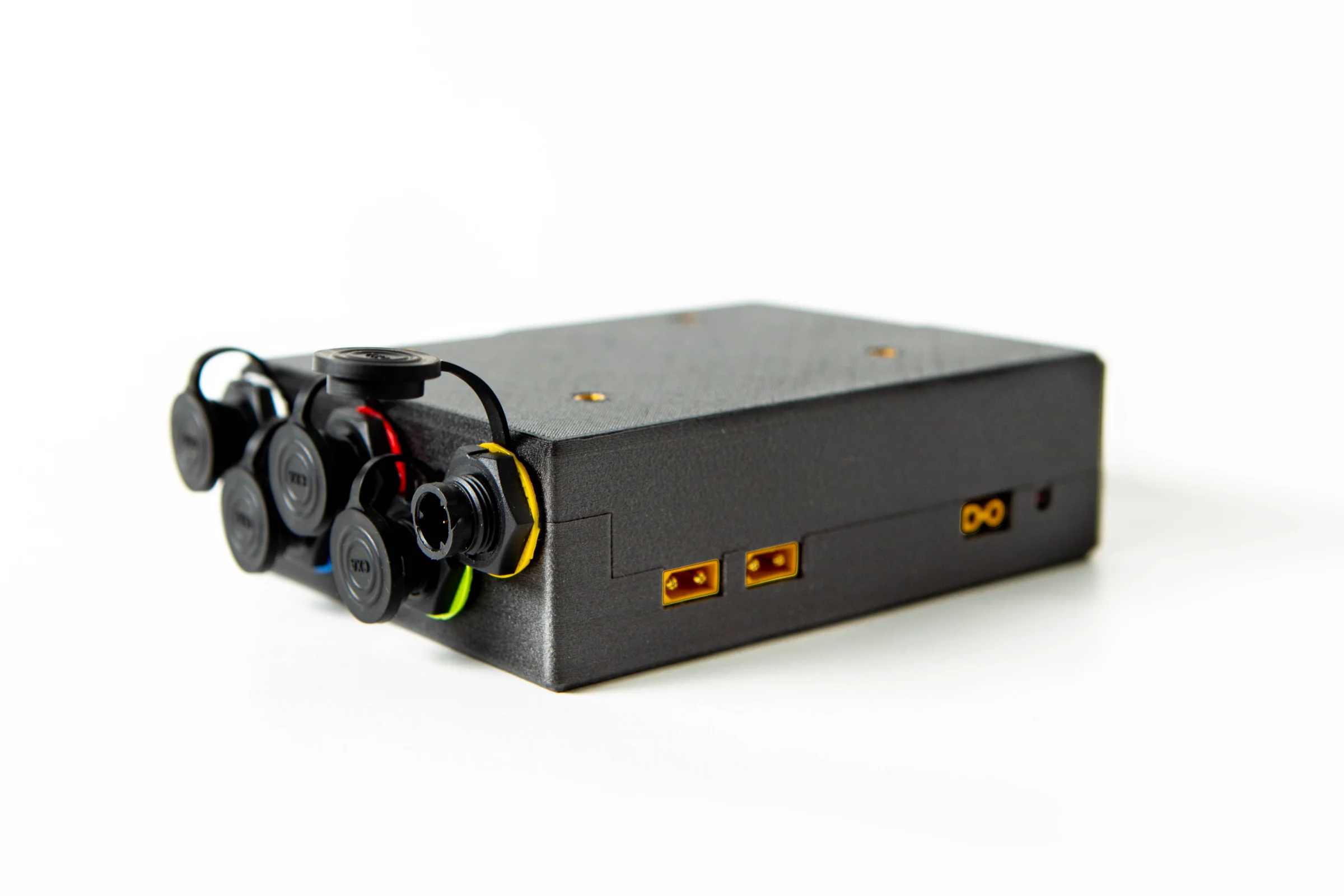
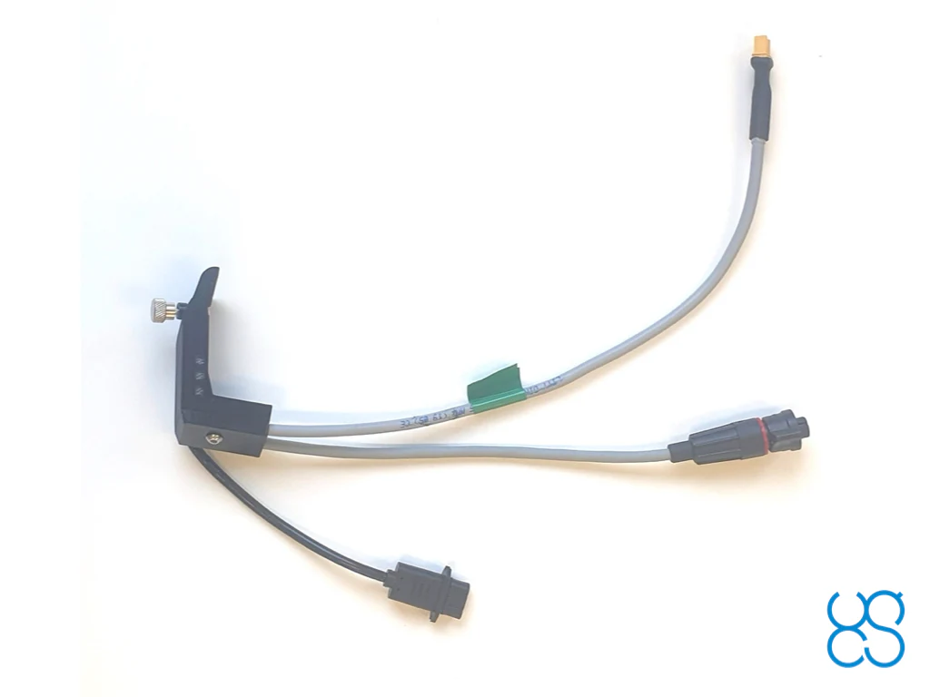
Smart cable assembly to connect SkyHub 3rd generation to DJI M300/M350 RTK drone.
The cable assembly has 2 connectors for the SkyHub:
For the drone side native DJI SDK Round Ribbon Cable is used.
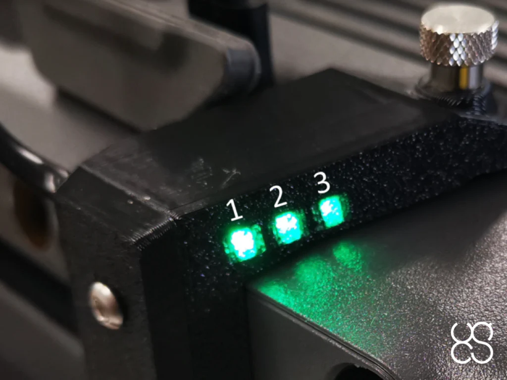
Mounting bracket has built-in LED indicators:
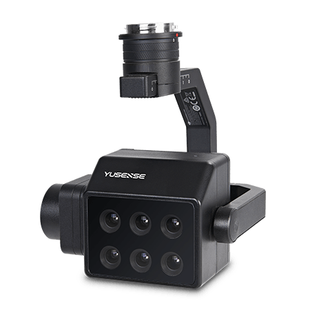
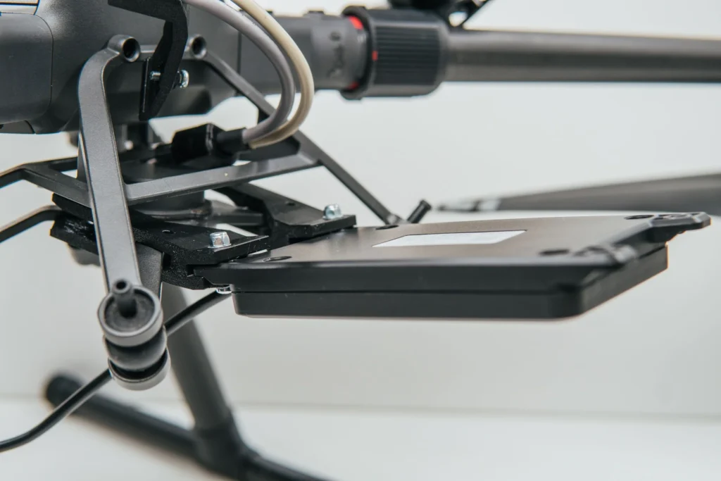
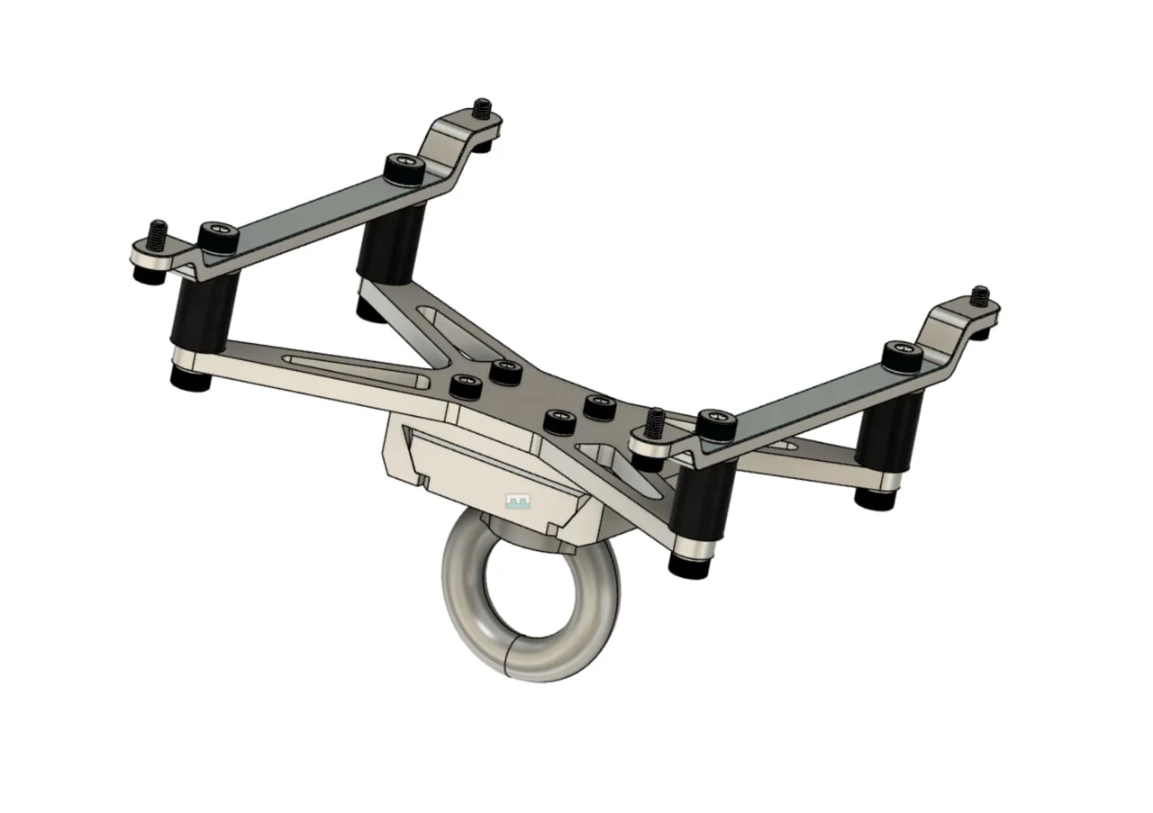
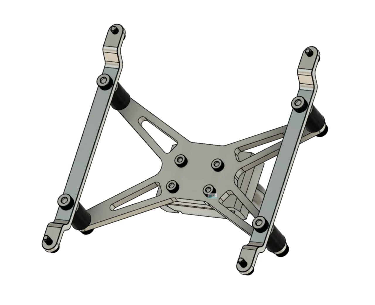
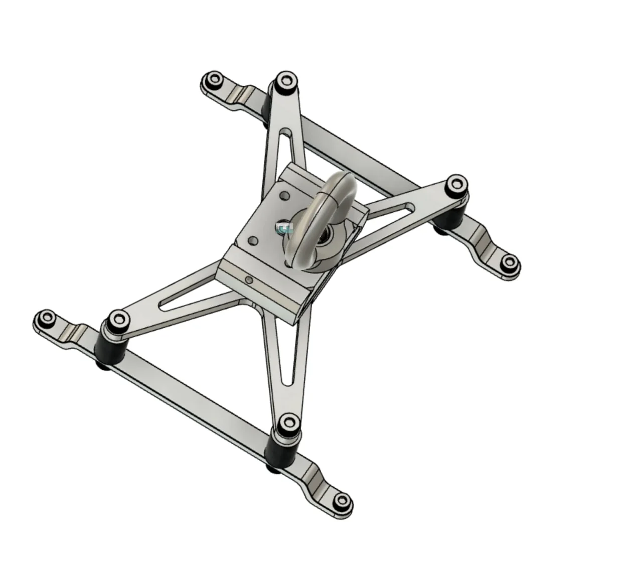
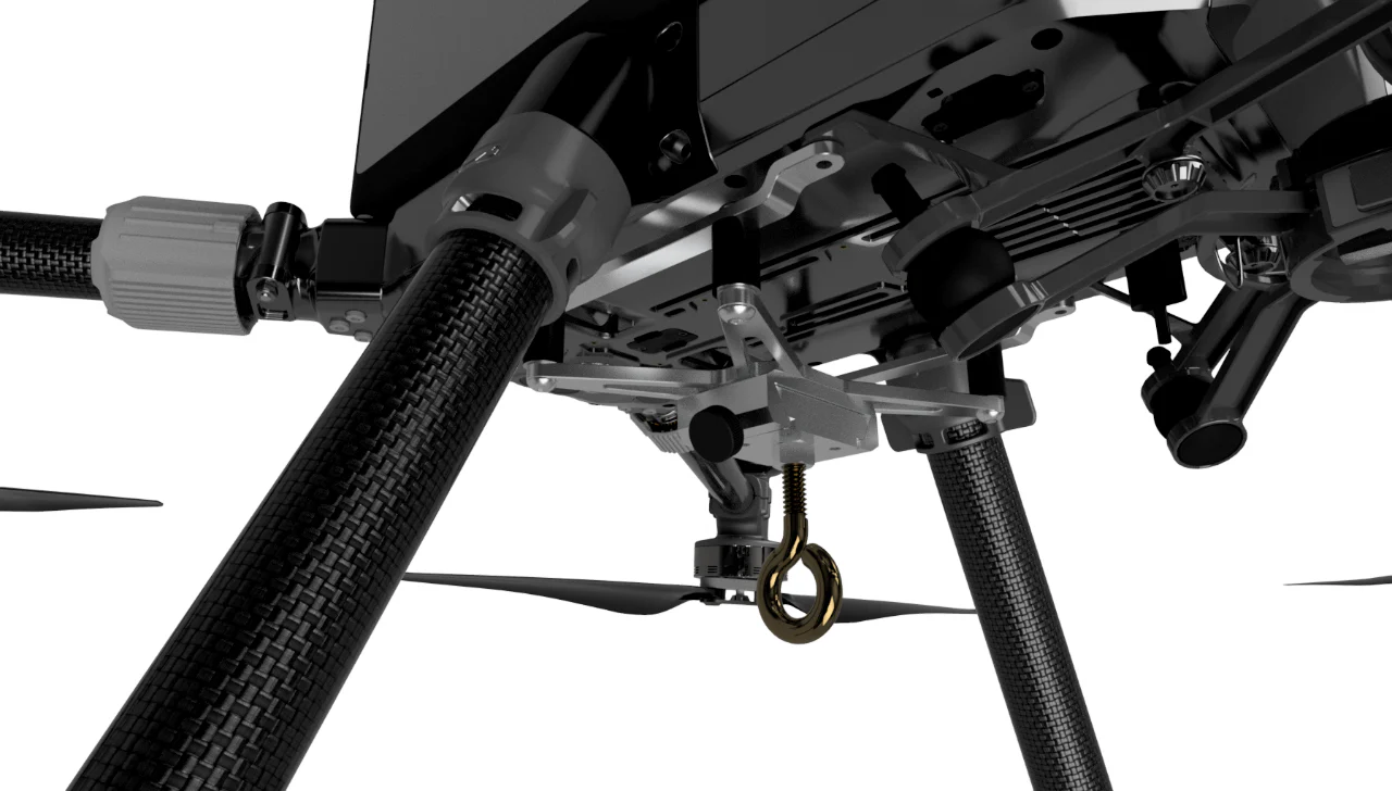
Universal mountings for payloads on ropes/cables: echo sounders, water samplers, etc.
Also compatible with some types of LIDAR payloads.
UgCS EXPERT is not restricted to any certain LiDAR sensors only. Most sensors can be used as long as they are carried by a supported drone.
However, we are officially supporting the following LiDAR sensors / manufacturers – DJI L1, L2, YellowScan, Phoenix LiDAR, RIEGL, LIDAR USA. GeoCue, Rock Robotics, GeoSun LIDAR, 3DT Scanfly, Topodrone, Balko Tech.
Software package for GPR integration.
Includes firmware for SkyHub on-board computer and companion application for UgCS.
Supports Radar Systems (Zond Aero and Zond-12e) and Radarteam (Cobra Plug-In and Cobra CBD) GPR systems.
Requires SkyHub and UgCS license.
Allows following terrain with very high precision on low altitude using an altimeter sensor.
For new customers, it is recommended to order a combo consisting of software, hardware, and training.
It is the customer’s responsibility to check the possibility to use a 24Ghz altimeter in a particular country.
Laser altimeter: can be used in any country, but works not so reliable in diverse environmental conditions and over high-reflective surfaces like water, ice, snow, and sand (under the bright sun).
This service is to help customers of Integrated Systems products to make their systems up and running.
Integrated System usually consists of a drone, UgCS software, SkyHub onboard computer, True Terrain Following system, and some sensor (GPR, magnetometer, echo sounder, methane detector, etc.). The first time setup of such a complex system using only manuals from manufacturers (drone, sensor, various software) may be rigorous and require a long time.
Service includes up to 8 hours of service delivered by a qualified SPH Engineering Expert. Initial setup usually takes up to 4 hours depending on the system complexity, and 4 hours are reserved for additional support during the first customer’s missions.
The combined course delivers knowledge necessary for efficient airborne GPR use – from mission planning to data interpretation.
The course is offered in two options:
Computer bound license (two computers maximum).
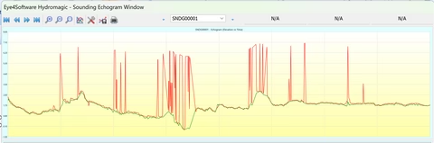
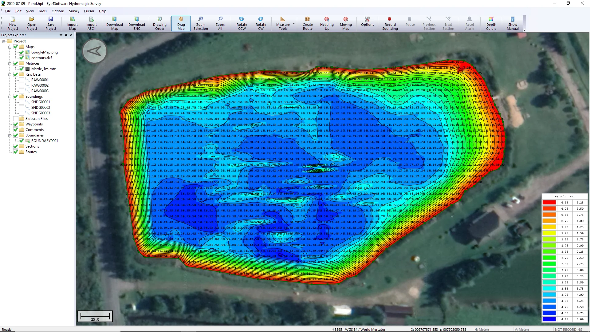
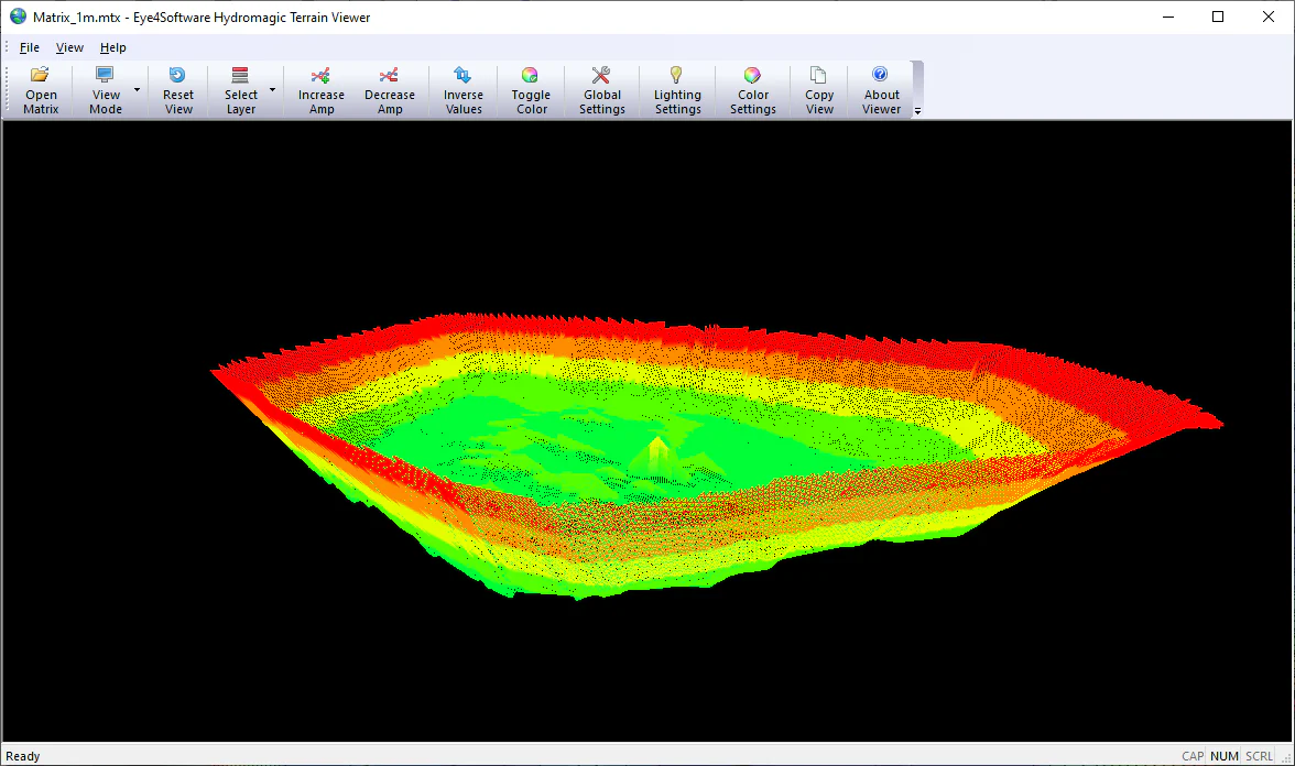
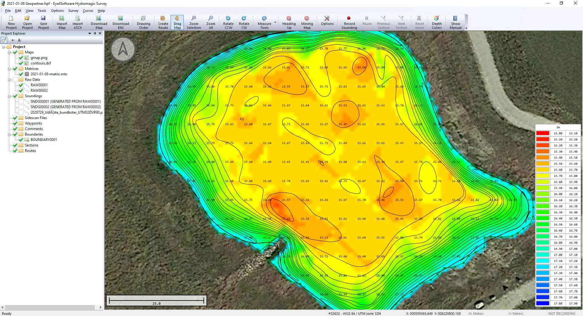
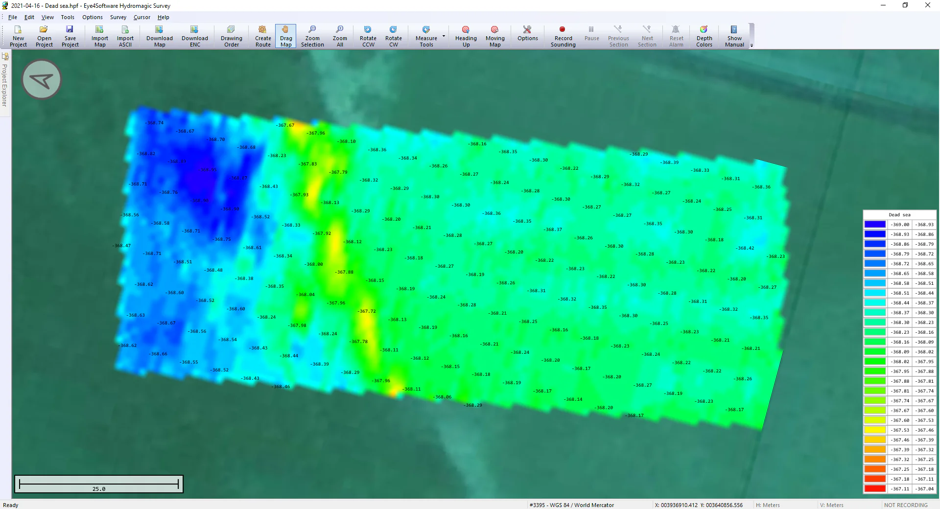
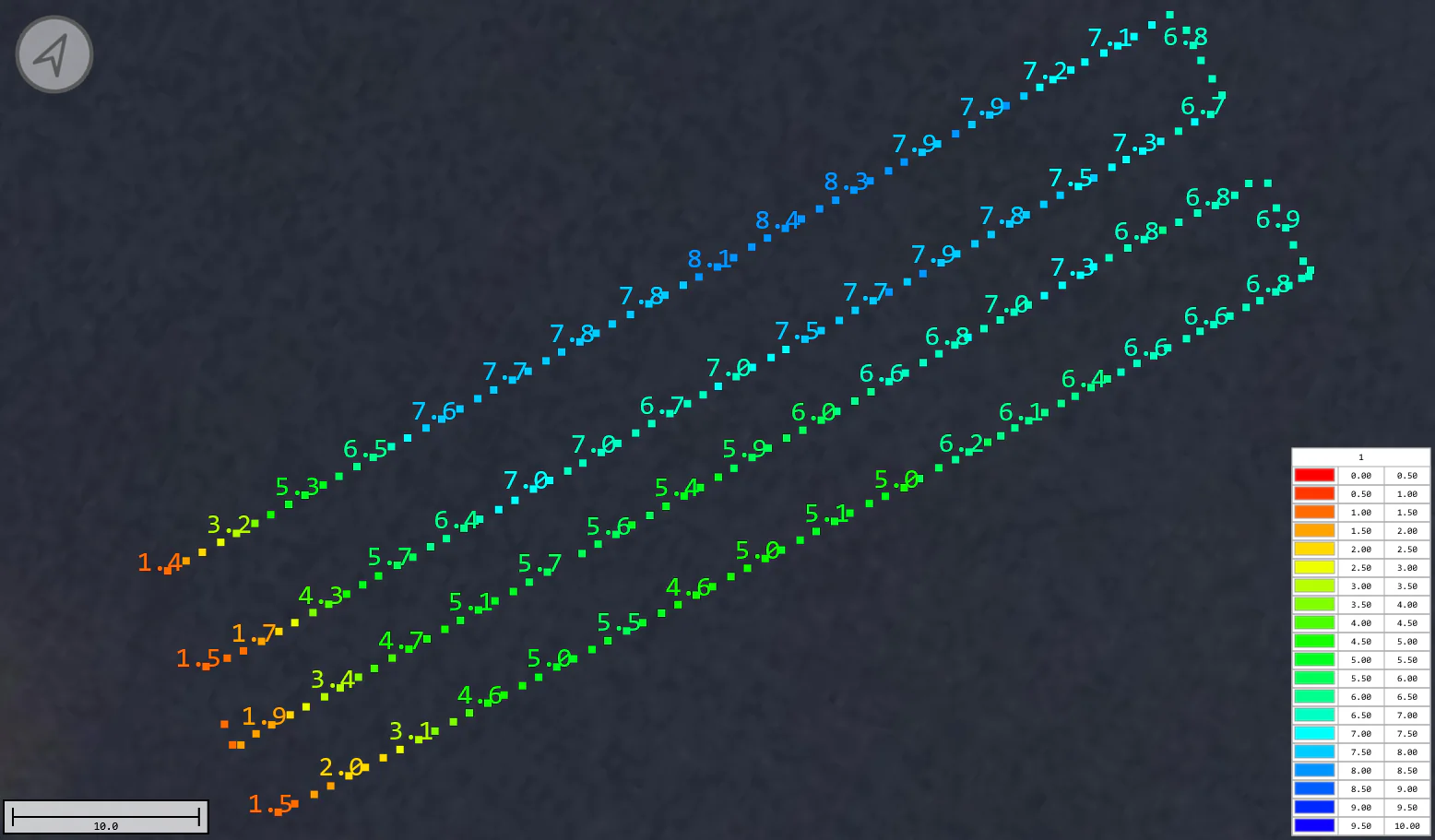
Hydromagic Survey is a professional hydrographic survey package, which can be used to map depth areas using an echo sounder.
The software is very affordable and the learning curve is very short. You can start creating your first sounding within a single day.
Recommended training: bathymetric data processing
| Sensor | ECT D24S |
| Type | Dual-frequency |
| Acoustic frequency, kHz | 200/450 |
| Measurement range | 0.5 … 200m (200 kHz) 0.15 … 100m (450 kHz) |
| Beam width Conical (-3dB) |
10°/5° (200/450 kHz) |
| Weight of the echo sounder (in the air), g | 280 |
| Weight of all components (in the air), kg (sensor,SkyHub, altimeter, housing, cables, mountings) |
2.4 |
| Suitable DJI drones
(or Pixhawk drones of comparable size) |
M350 RTK M300 RTK M600 Pro |
Inquire price for Echo sounder combo: ECT D24S dual-frequency