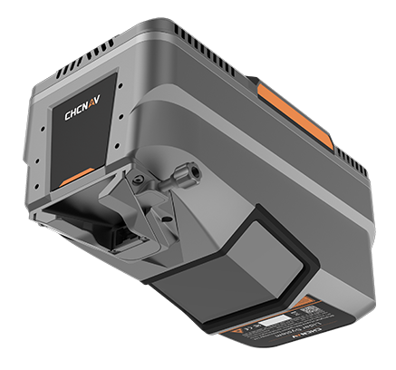
The AlphaAir 15 (AA15) is a lightweight LiDAR system with long-range scanning, high accuracy, and fast data acquisition. It excels in capturing high-density data, especially in challenging terrains and mountainous regions.
Utilizing CHCNAV’s patented tilted-prism technology, the AA15 delivers 15 mm linear accuracy on longrange scans up to 150 meters. This innovative technology supports echo digitization and online waveform processing. With a continuously rotating polygon mirror, the AA15 achieves scan speeds of up to 600 lines per second, combined with 2 million pulses per second, resulting in high-density point clouds that recreate the world with remarkable precision.
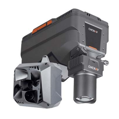
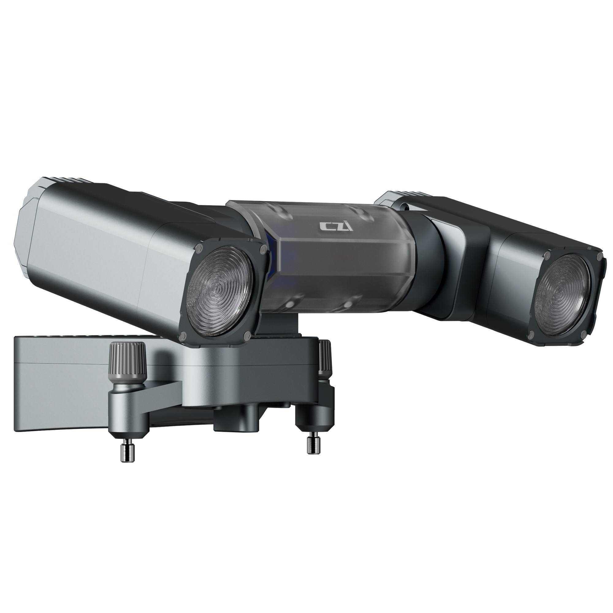
For high-resolution imaging needs, the AA15 supports several external camera accessories, including CHCNAV’s 45 or 61 MP full-frame calibrated cameras and a 130 MP half-fame oblique camera. Users can also integrate cameras from third-par ty oblique or or thho- camera manufacturers. The combination of high-density point clouds and high-resolution imagery facilitates rapid mesh model construction and provides detailed texture information.
The AA15 excels in vegetation penetration thanks to its advanced multi-target capability that supports up to 16 returns per laser pulse and 7 multi-period zone processing. With a high point frequency of 2 million pulses per second, the AA15 increases the probability of laser penetration through vegetation, making it easier to obtain more ground points.
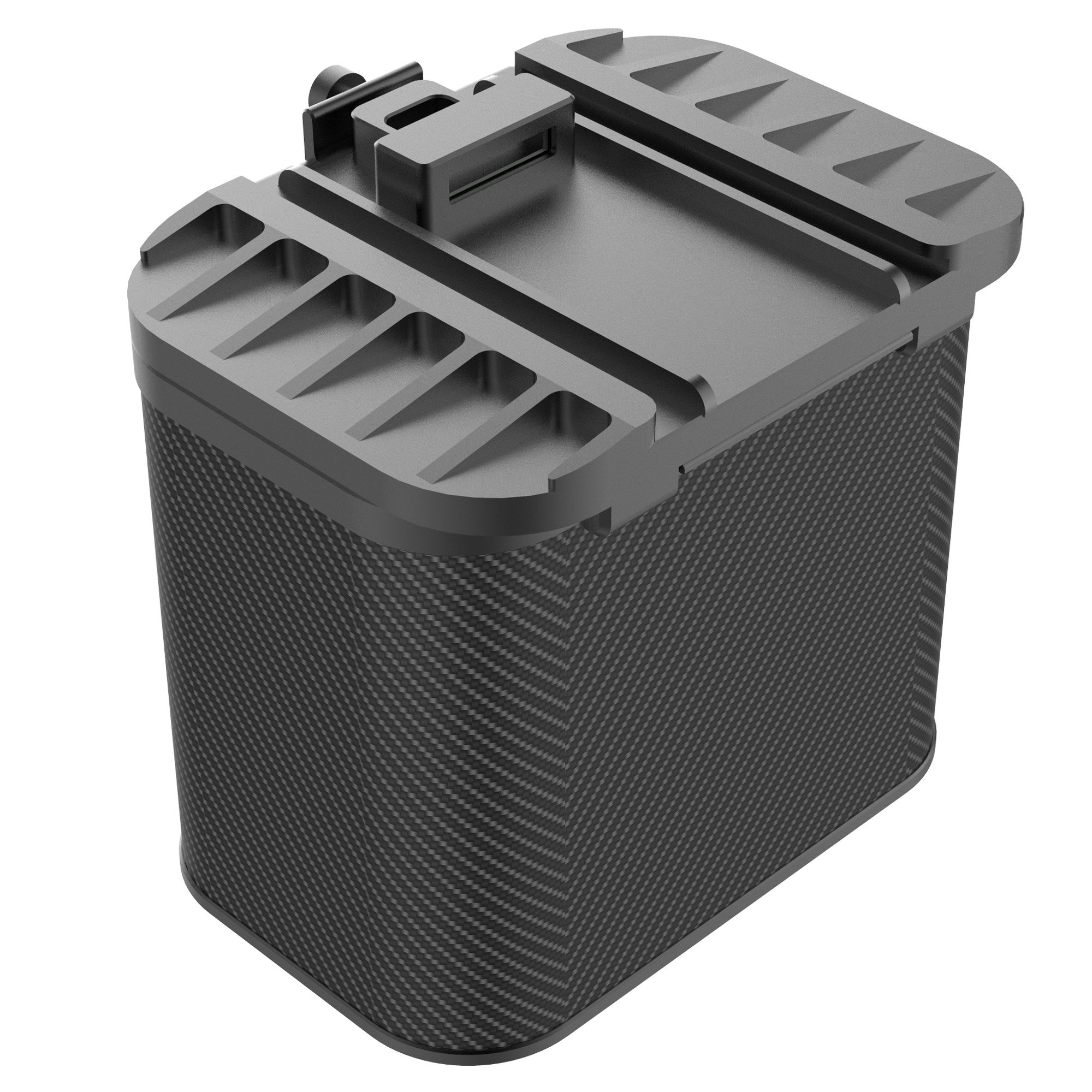
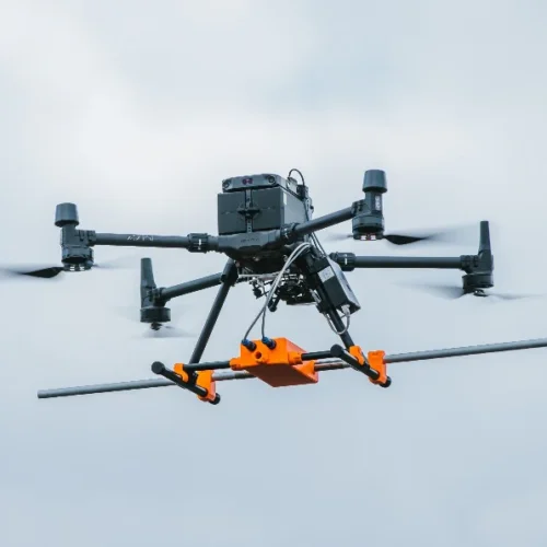
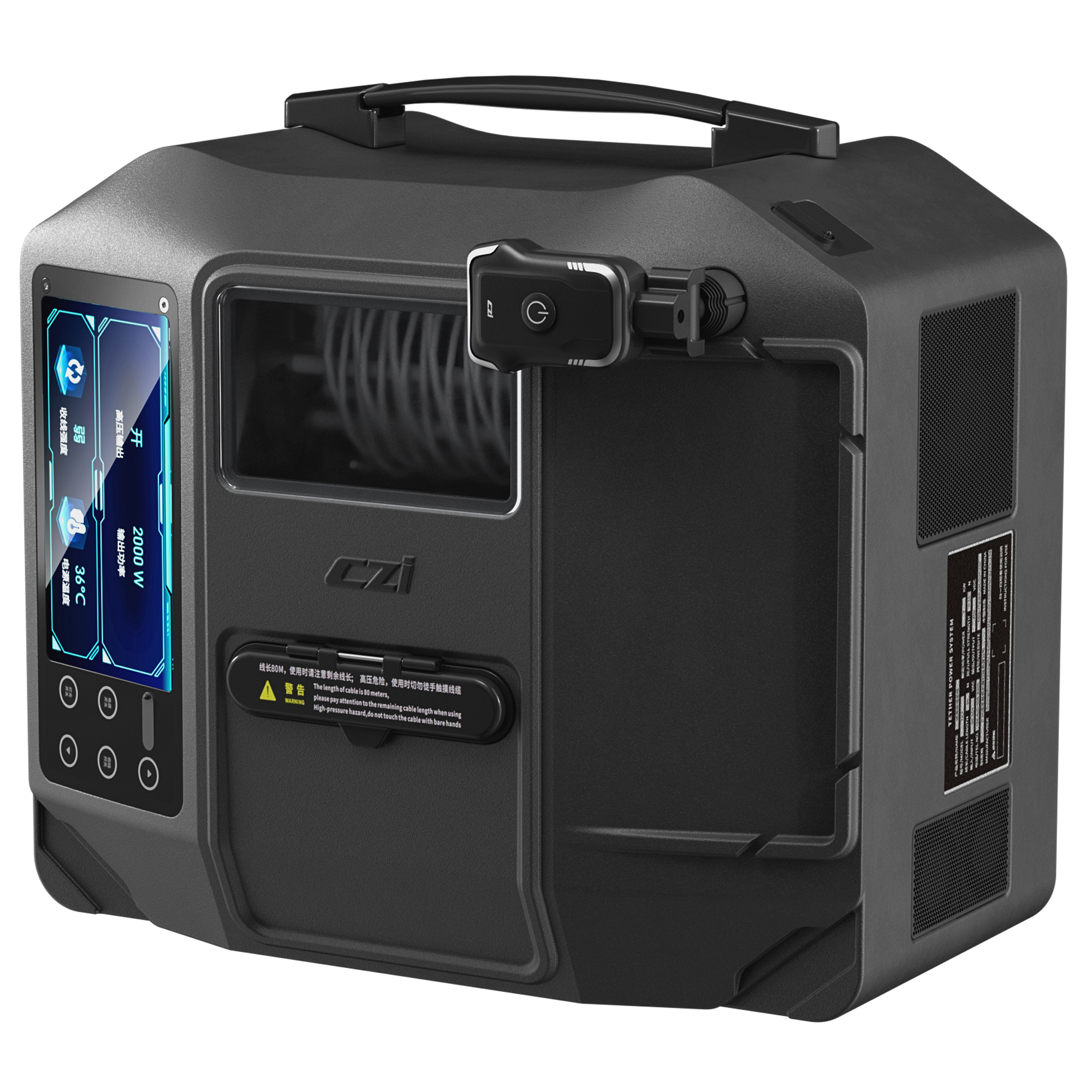
Featuring CHCNAV’s unified Alphaport interface, the AA15 allows quick and easy connection to power sources and cameras with a single click. Its compact design and light weight of only 2.5 kg ensures seamless integration into various UAS, UAV, RPAS, small manned aircraft and helicopters.
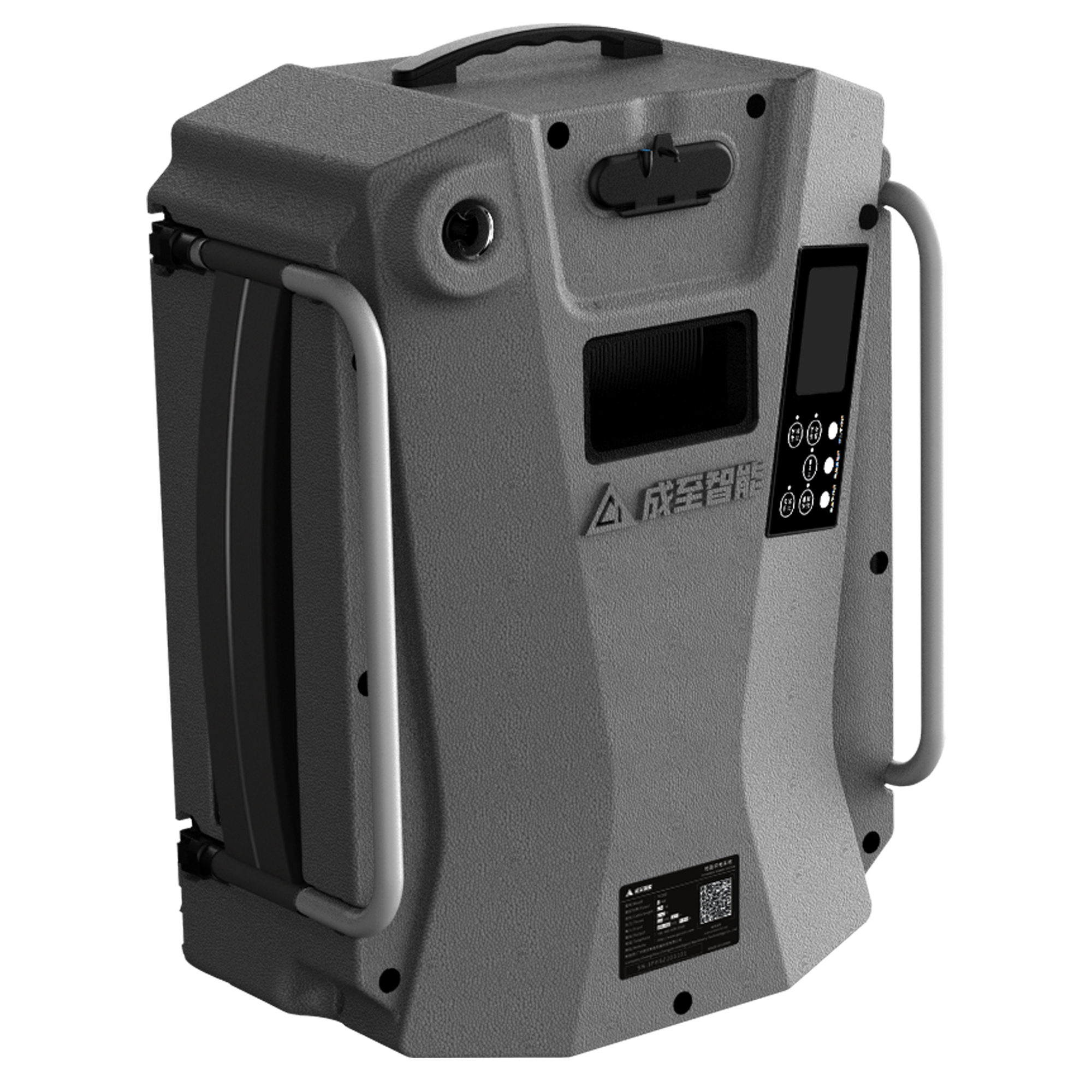
CHCNAV offers a comprehensive package for integrating LiDAR solutions into your geospatial services. The SmartGo App enables fully automated reality capture and real-time mission monitoring, while the CoPre and CoProcess software suite streamlines post-processing and feature extraction, providing an efficient and user-friendly data workflow.
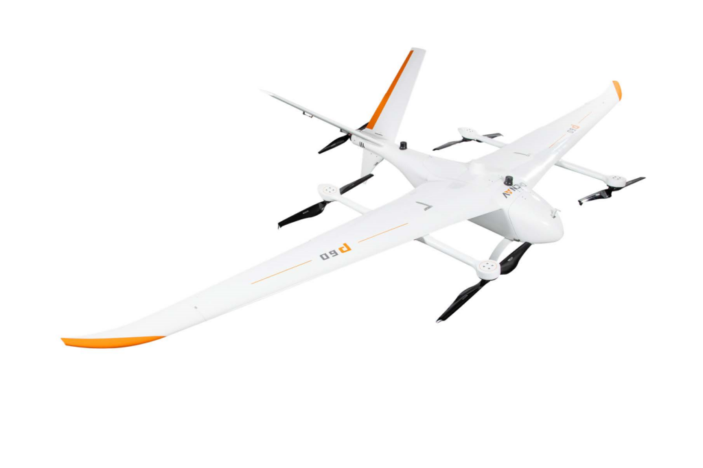
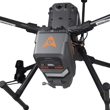
The AA15 weighs only 2.5 kg, making it the lightest LiDAR in its class and allowing it to be mounted on DJI drones.
Using various camera options, the AA15 can produce multiple results in a single flight, including RGB point clouds, DOM, DEM and 3D models.
The AA15's dense point cloud helps to quickly build mesh models, and with image mapping texture, it can achieve efficient reconstruction of realistic 3D models in CoPre.
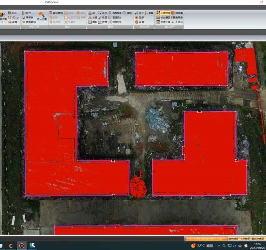
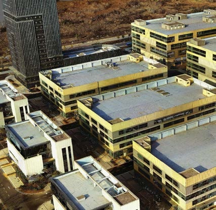
Using CHCNAV CoProcess software, users can automatically detect railroads, roads, and buildings based on high-density AA15 data.
The AlphaAir 15 (AA15) is a lightweight airborne LiDAR system developed by CHCNAV. It combines long-range scanning capability and high accuracy with an extremely fast data acquisition rate, all in a compact design. The AA15 is ideal for scenarios that require the collection of large amounts of high-density data in order to identify and extract building and road information from point clouds. For large-scale operations, especially in mountainous areas with significant elevation changes, the AA15 accurately detects ground features even at the bottom of valleys. Equipped with a variety of cameras to meet diverse needs, the system can be mounted on light aircraft, helicopters, or UAV platforms.
General system performance |
|
| Absolute Hz accuracy | 2 cm ~ 5 cm RMS (1) |
| Absolute V accuracy | 2 cm ~ 5 cm RMS (1) |
| Mounting | Quickly install & release design, easily switch between various UAV platforms, RPAS, small manned aircraft and helicopters |
| Weight of instrument | 2.5 kg |
| Dimensions of instrument | 247 mm × 126 mm × 156 mm |
| Data storage | 512 G (Optional for 1 T) |
| Coping speed | 80 Mb/s |
| Imaging system | External camera C5/C30 (Optional for third-party oblique or orthho cameras) |
Positioning and orientation system |
|
| GNSS system | Multiple GPS, GLONASS, Galileo BeiDou, SBAS and QZSS constellation, L-Band |
| IMU update rate | 600 Hz |
| Attitude accuracy after post-processing |
0.005° RMS pitch/roll 0.010° RMS heading |
| Position accuracy after post-processing |
0.010 m RMS horizontal 0.020 m RMS vertical |
Imaging system |
|
| Resolution | 45 MP |
| Focal length | 21 mm/35 mm |
| Sensor size | 36 mm x 24 mm (8184 x 5460) |
| Pixel size | 4.4 μm |
| Min photoing interval | 1 s |
| FOV | 81.2*59.5 / 53.4*37.8 |
Environmental |
|
| Operating temperature | -20°C to +50°C |
| Storage temperature | -20°C to +60°C |
| IP rating | IP64 |
| Humidity (operating) | 80%, non-condensing |
Electrical |
|
| Input voltage | DC 24 V (15 ~ 27 V) |
| Power consumption | 60 W |
Equipped software |
|
| CoPre intelligent processing Software |
Data copy, POS process, Adjust & Refine, Generate point cloud |
| CoPre intelligent processing Software | Terrain module, Road module, Volume module |
| General system performance | |||||||||
| Laser product classification | Class 3R Laser Product according to IEC 60825-1:2014 | ||||||||
| Laser pulse repetition rate PRR | 100 kHz | 200 kHz | 300 kHz | 400 kHz | 500 kHz | 800 kHz | 1M Hz | 1.5M Hz | 2M Hz |
| Max. range, @ρ >20% (2) | 900 m | 720 m | 700 m | 610 m | 545 m | 430 m | 385 m | 315 m | 272 m |
| Max. range, @ρ >80% (2) | 1800 m | 1440 m | 1400 m | 1220 m | 1090 m | 860 m | 770 m | 630 m | 500 m |
| Max.Operating Flight Altitude AGL, @ρ >20%(3) |
700 m | 570 m | 550 m | 480 m | 430 m | 340 m | 300 m | 250 m | 200 m |
| Laser divergence angle | 0.032° | ||||||||
| Laser divergence angle | 5 m | ||||||||
| Accuracy (4) | 15 mm (1σ,@ 150 m) | ||||||||
| Precision (5) | 5 mm (1σ,@ 150 m) | ||||||||
| Multi-Period capability | 75° | ||||||||
| Field of view | Rotating mirror | ||||||||
| Max. measurement rate | 2,000,000 meas./sec. | ||||||||
| Scan speed (selectable) | 50 ~ 600 scans/sec | ||||||||
*Specifications are subject to change without notice.
(1) According to CHCNAV test condition :150 m AGL with 8 m/s speed. (2) Typical values for average conditions. (3)
Flat terrain assumed. (4) Accuracy is the degree of conformity of a measured quantity to its actual (true) value. (5)
Precision is the degree to which further measurements show the same results.
Inquire price for CHCNAV AlphaAir 15