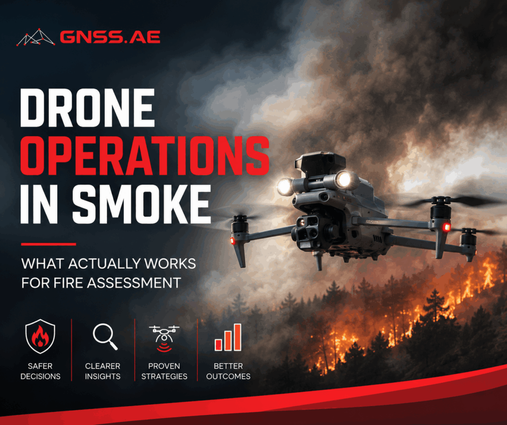
For the imaging system, smoke is an extremely demanding visual environment.
It reduces contrast, diffuses light, and removes visual reference points. As a result, standard RGB cameras—regardless of resolution—lose their ability to provide reliable situational awareness. What remains is a visible scene that is difficult to interpret with confidence.
This creates a gap between what the system captures and what operators can actually use in the field.
In this article, we look at how this limitation affects fire assessment in practice—and what technologies, from thermal sensing to integrated data workflows, allow teams to operate effectively despite it.
A common response to limited visibility is to rely on zoom and positioning. Fly higher. Get a better angle. Push the camera further.
But smoke doesn’t behave like a simple obstruction. It diffuses light unevenly, shifts with wind, and creates layers that flatten the scene. Zoom amplifies noise instead of revealing detail. At night, the problem compounds—there is less usable light to begin with, and artificial illumination reflects off particulates in the air.
The result is a familiar pattern in operations:
The limitation is not the platform. It’s the sensor.

backup tool to the main source of reliable information. Rather than depending on reflected light, thermal sensors capture heat signatures. Fire edges, residual hotspots, and heat concentration zones become detectable even when they are completely obscured in the visible spectrum.
For example, in Ventura County, California, drone crews use thermal imaging during the mop-up phase to locate residual heat sources that would otherwise go unnoticed. These hotspots aren’t always large and obvious; sometimes, they’re tiny, smoldering bits that could easily reignite if the conditions are right. Detecting them early changes the outcome of the entire operation.
Thermal data also supports perimeter control. Instead of visually estimating whether a containment line is holding, teams can verify it based on heat distribution.

Thermal capability alone does not solve the problem. Its value depends on how it is integrated into the workflow.
When visibility is compromised, defining the area of interest becomes less about what can be seen and more about what must be verified. Operators work from known fire perimeters, terrain data, and prior observations to outline zones where heat anomalies are likely.
Smoke, wind, and low visibility make manual piloting less reliable. Automated flight paths are used to ensure consistent coverage, especially over large or uneven terrain. This reduces the risk of missed areas and ensures that data collection is systematic rather than reactive.
Thermal data requires active interpretation. Operators monitor temperature contrasts, identify patterns, and distinguish between residual heat and active threats. For example, a uniform warm area may indicate residual heat, while concentrated hotspots or temperature spikes may signal ongoing combustion.
The final step translates data into action. Identified hotspots are geolocated and communicated to ground teams, allowing them to move directly to areas of concern. Instead of scanning wide areas manually, crews can focus on specific points, reducing both time and physical exposure.

Even when the right data is captured, another bottleneck often appears: access.
In many operations, the drone feed remains with the pilot, while decisions are made elsewhere—by incident commanders or coordination teams. This separation introduces delays and increases the risk of misinterpretation, as information has to be relayed rather than directly observed.
Modern workflows address this by extending access to drone data beyond the controller.
Platforms like DJI FlightHub 2 enable live video streams, including thermal feeds, to be shared across teams in near real time. In practice, this means that the same data viewed by the pilot can also be displayed in a command vehicle or operations center.
The impact is immediate:
Recent developments go a step further. AI-assisted features can identify anomalies—such as unusual heat patterns or potential smoke—and flag them for attention. These detections can then be linked to predefined workflows, such as notifications or follow-up inspections.
The system does not replace human decision-making, but it reduces the delay between observation and response by structuring how information is handled.
The transition from visual observation to data-driven assessment is also reflected in the equipment being used.
Parameter | Specification |
Dimensions | 170 × 145 × 165 mm |
Weight | ~920 g |
Thermal sensor | Uncooled VOx microbolometer |
Temperature measurement range | -20°C to 1600°C (depending on mode) |
Optical zoom | Up to 34× hybrid zoom |
Laser rangefinder | Up to 3000 m range |
Operating conditions | Day / night, low-visibility environments |
In practice, these parameters translate into one key capability: the ability to maintain usable situational awareness when RGB imagery fails.
The thermal range allows operators to detect both active fire zones and residual heat pockets that remain invisible in dense smoke. This is particularly relevant during mop-up operations, where small heat sources can easily be missed but still pose a risk of re-ignition.
High optical zoom combined with thermal overlay helps bridge the gap between detection and verification. Operators can confirm whether a heat signature corresponds to an actual ground-level event without repositioning the aircraft—an important factor when flying in unstable air or limited visibility conditions.
The integrated laser rangefinder adds another layer of operational precision. In fire response scenarios, it is not enough to detect a hotspot; it must also be localized. Distance data allows ground teams to be directed to exact points rather than approximate areas, reducing search time and exposure
A compact, mission-ready platform designed specifically for public safety and inspection scenarios.
Key advantages in smoke operations:

In practice, the Matrice 4T is often used in time-critical response scenarios, where the goal is to get thermal visibility in the air as quickly as possible and start guiding decisions immediately.

A heavier industrial platform designed for endurance, stability, and system-level deployments.
Key advantages in smoke operations:
In practice, the Matrice 400 is more often used in sustained operations, such as extended wildfire monitoring, perimeter tracking, or multi-drone coordination scenarios.
Rather than competing, the two platforms serve different operational layers:
Both are effective in smoke conditions, but they address different constraints: one focuses on speed of insight, the other on depth and endurance of operations.
The shift is gradual but fundamental.
Previously, aerial support meant providing a better view. Now, it means providing actionable insight.
Operations become less reactive and more structured. Risk is reduced not by working faster, but by working with clearer information.
In smoke, visibility is no longer purely a visual problem.
It depends on how effectively a system can detect, interpret, and distribute information under constrained conditions. Standard cameras reach their limits quickly. Thermal sensors extend those limits by revealing what cannot be seen. Integrated platforms and AI-assisted workflows ensure that this information is available where it is needed.
The advantage no longer comes from being higher in the air. It comes from seeing differently—and ensuring that insight translates into action.