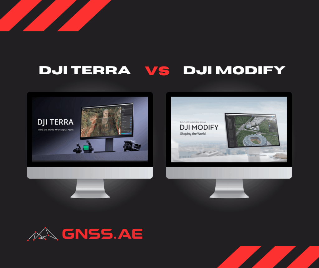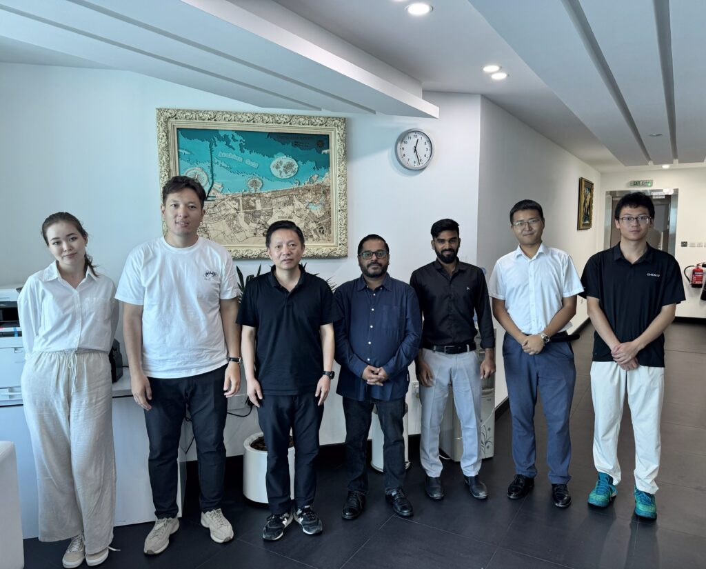
On July 1, the GNSS.AE team had the pleasure of welcoming our strategic partner, CHCNAV, for a live product demonstration and collaborative discussion at our Dubai headquarters. The visit marked a significant step in strengthening our ongoing partnership and discussing the next frontier of geospatial innovation.
The hands-on exchange allowed both teams to deep-dive into current industry challenges and identify opportunities to better serve geospatial professionals through integrated, data-driven solutions.
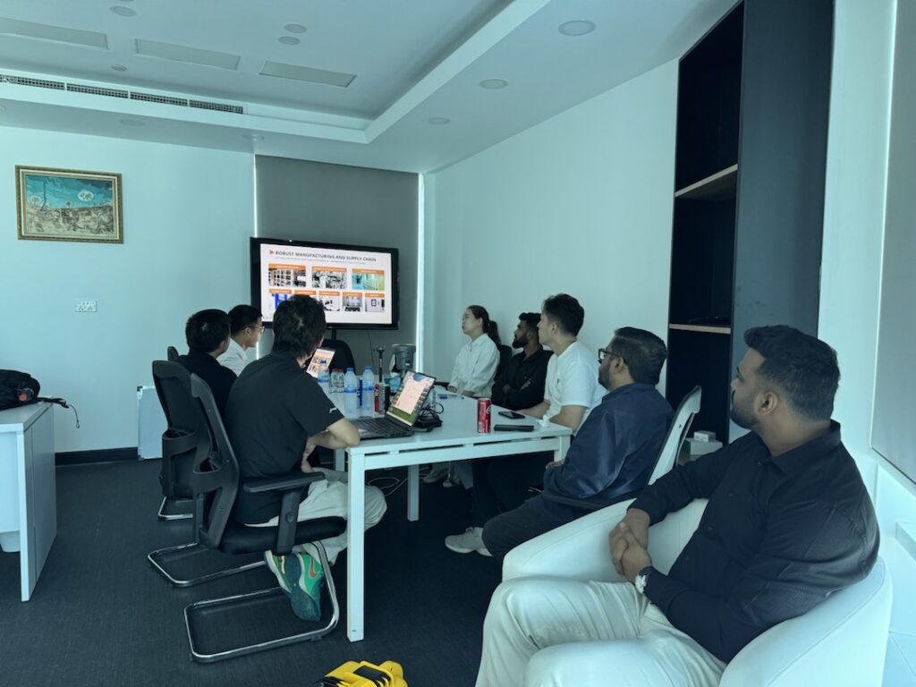
One of the key highlights of the visit was the live demonstration of the CHCNAV RS10 Handheld Scanner. This powerful device combines GNSS RTK, laser scanning, and visual SLAM technologies to offer a compact, versatile 3D scanning solution for complex environments.
During the session, the team showcased the RS10’s capabilities by scanning the GNSS.AE office space. The device captured and processed a high-resolution point cloud of the entire office environment, demonstrating the speed, accuracy, and ease of use that this handheld scanner brings to field operations.
The meeting was an opportunity to exchange insights on the future of geospatial technologies and how we can better serve professionals across the MENA region.
At GNSS.AE, we believe that true innovation and progress is built on strong partnerships. Our collaboration with CHCNAV exemplifies how shared expertise and a forward-looking mindset can lead to smarter, faster, and more accurate tools for professionals in the field.
By combining CHCNAV’s cutting-edge technology with our regional expertise and customer-centric approach, we continue to bring the advanced technologies to the MENA market—helping professionals across surveying, construction, mining, agriculture and public safety to work more efficiently and with greater precision.
We thank CHCNAV for their visit and look forward to many more collaborative milestones ahead.