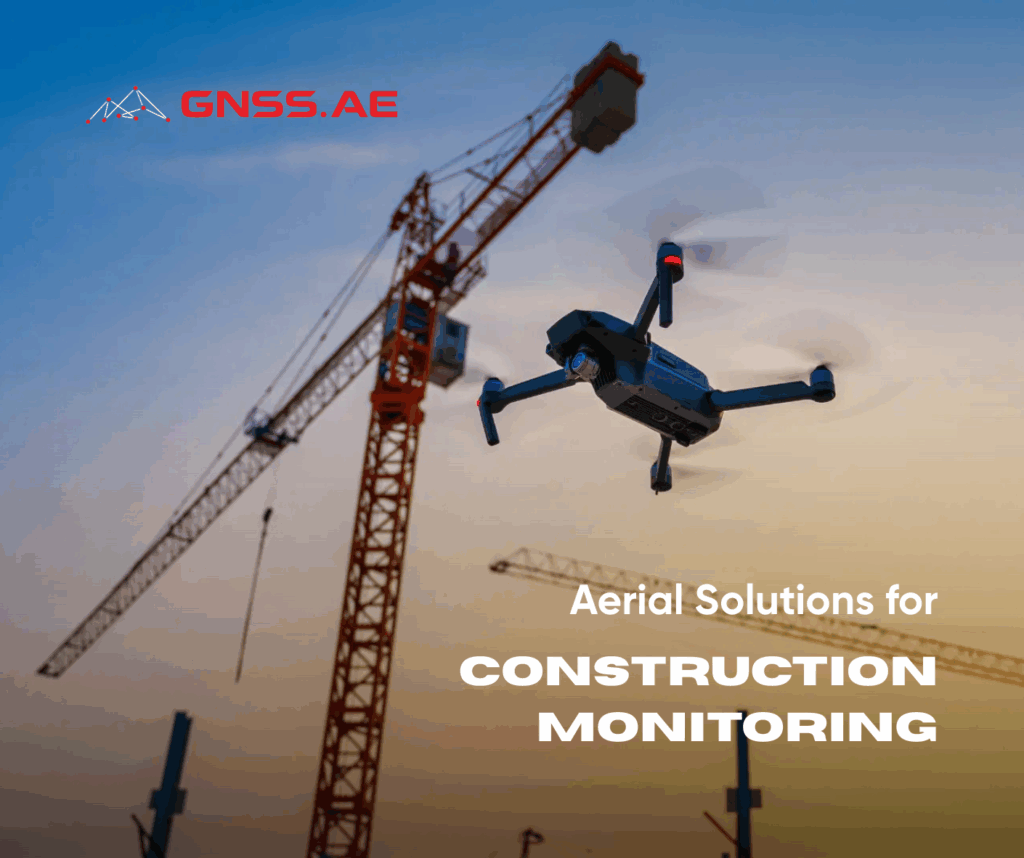
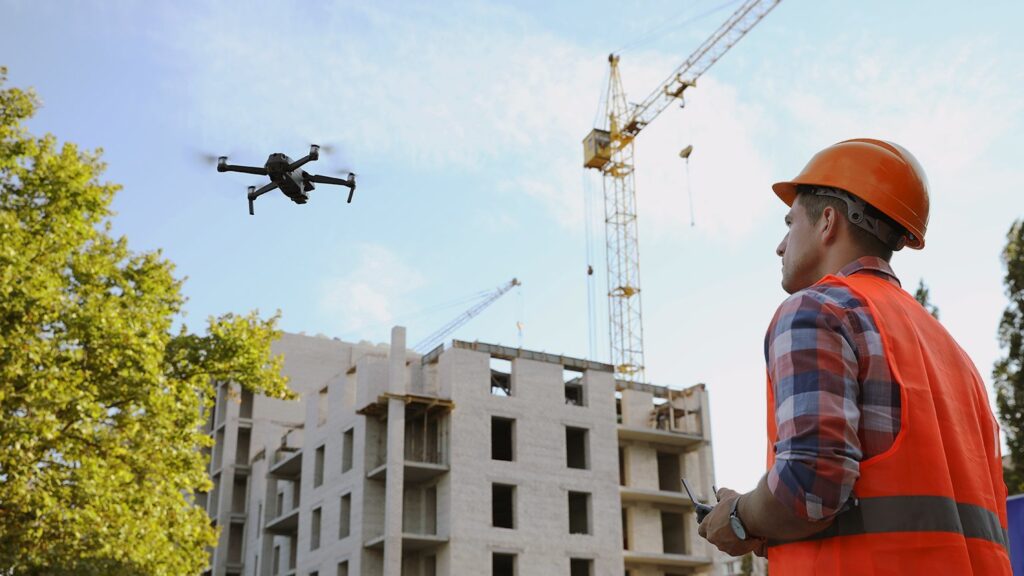
As the construction industry gradually embraces digital transformation, one technology stands out for its ability to deliver cost-effective, timely, and high-resolution data—unmanned aerial vehicles (UAVs), or drones. UAVs are now a central pillar in modern construction monitoring and asset management, enabling the creation of digital twins, integration into BIM workflows, and improved decision-making via cloud-based platforms.
In this article, GNSS.AE explains how aerial technologies are reshaping monitoring in construction and development.
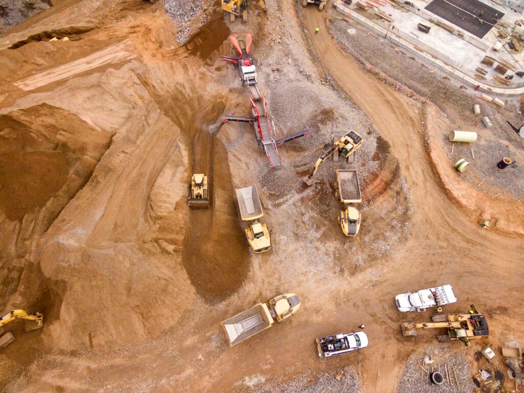
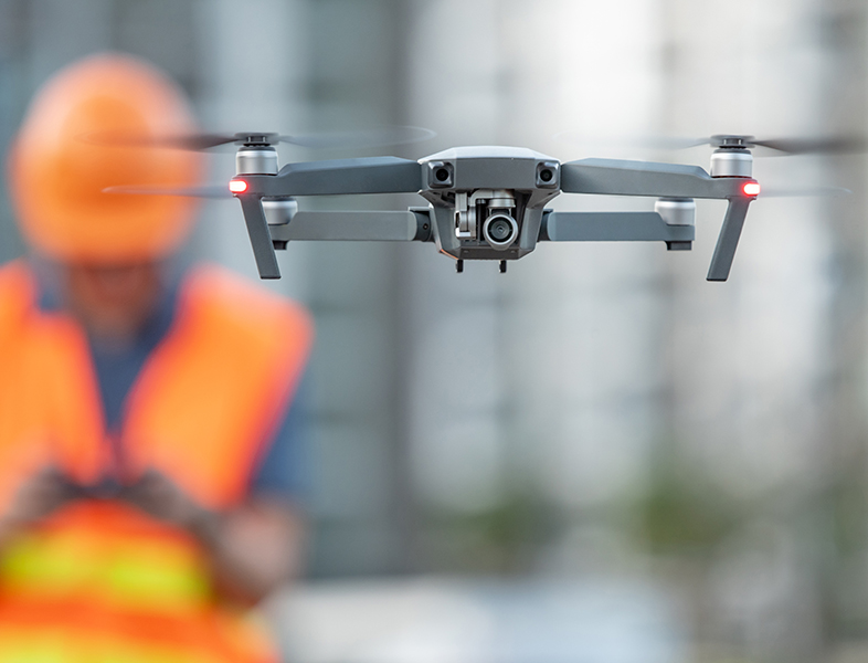
UAVs are revolutionizing how developers, contractors, and planners acquire spatial and construction data. Equipped with laser scanners or aerial imaging systems, drones collect geospatial and structural information faster and more accurately than traditional surveying methods. Two primary methods of aerial data acquisition dominate the field:
Each method has trade-offs: laser scanning excels in accuracy and autonomy but requires costly equipment, while digital photography is cheaper and faster but limited by environmental conditions (Gura et al., 2023).
A digital twin is a continuously updated, virtual replica of a physical asset or environment. It not only visualizes geometry but also integrates live data from multiple sources—IoT sensors, UAVs, and user input—enabling real-time monitoring, forecasting, and decision-making.
In construction, digital twins support:
Compared to Building Information Modelling (BIM), which focuses on the design and planning phases, digital twins offer real-time operational feedback. While BIM represents planned and historical data, digital twins mirror the current state of infrastructure, making them crucial during construction and post-construction maintenance. Digital twins more than static 3D models, they are dynamic systems, constantly updated with data captured via UAVs, processed in the cloud, and fed back into management platforms (Gura et al., 2023).
Drones extend BIM’s potential by automating data collection, reducing human error, and improving collaboration. UAV-collected data feeds into BIM platforms to:
However, UAV integration faces limitations, including flight restrictions, weather sensitivity, and the need for licensed pilots and data analysts. Despite these, UAV-BIM synergy is transforming site intelligence.
With drone data becoming essential, Software-as-a-Service (SaaS) and Drone-as-a-Service (DaaS) models have emerged. These platforms allow stakeholders to access processed data, analytics, and 3D visualizations without investing in hardware or in-house expertise.
Companies like Skyeer, TraceAir, and Sarex offer DaaS solutions tailored for infrastructure and housing projects. Here’s how it works:
This system streamlines everything from earthworks volume estimation to construction validation. Platforms like TraceAir even provide AI-driven tools to detect conflicts and schedule deviations.
According to PlanGrid Industry Report (2018), 35% of construction time is lost to searching for documentation, resolving errors, and rework. UAVs and aerial monitoring platforms directly address this inefficiency:
|
Traditional Surveying |
Drone-based Aerial Monitoring |
|---|---|
| Lack of precise positional data makes it difficult to align BIM models, vector maps, and satellite imagery | 3D models from drones contain accurate geospatial data, easily integrated into BIM workflows |
| 2D designs limit spatial understanding and visualization | 3D drone models provide full spatial context for clearer design validation |
| Reality on site often diverges from the BIM model, making verification difficult | UAV data enables ongoing comparison between design and built environment |
| Manual surveys take 2–3 weeks for large areas | Drones can scan a 100-acre site and upload data in under 24 hours |
| Data requires specialized software and CAD skills to access | Cloud platforms allow non-specialists (e.g. top management) to view and interact with live data |
| Construction progress is tracked manually | UAVs automate progress tracking through periodic aerial scans and image comparisons |
| Environmental constraints can delay surveys | UAVs access hard-to-reach or unsafe locations quickly and remotely |
| Inefficiencies increase project costs and delay delivery | Drones help detect deviations early, enabling proactive issue resolution |
Despite clear advantages, UAV adoption has its own limitations:
However, the efficiency and strategic oversight drones provide increasingly outweigh these constraints—especially for high-value or large-scale construction projects.
UAV-based aerial monitoring is no longer an experimental edge case—it’s a proven strategy that reduces risk, improves timelines, and drives data-backed decision-making. The convergence of drone technology, digital twin systems, and BIM workflows is laying the groundwork for a smarter, more responsive construction industry.
By leveraging UAVs, cloud platforms and digital twins, modern construction teams can monitor projects with unprecedented precision, creating not only buildings but intelligent environments that adapt, optimize, and evolve over time.