The UgCS LIDAR toolset unlocks the full potential of LIDARs enabling effective remote sensing without human error. Delivers everything that UgCS Pro delivers plus LIDAR capabilities.
Supports most popular LIDAR platforms: DJI, YellowScan, Riegl, PhoenixLIDAR, LIDAR USA, GeoCue, Rock Robotics, & GeoSun LIDAR
Inquire Now
Product by sph engineering
Flight planning
Save time on mission planning with flight patterns and turns designed specifically for LIDAR surveys
Flight
Acquire high-quality laser data with preset IMU initialization patterns and anti-shake LIDAR turns
Post-flight
High accuracy of laser data acquired during the flight ensures getting desired results with one trip to the field
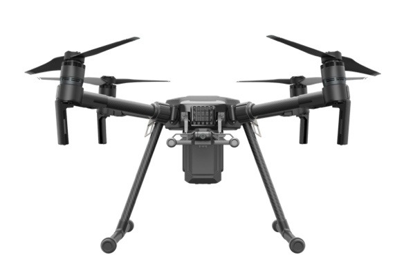
UgCS LIDAR toolset is currently supported for DJI drones
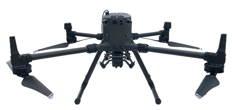
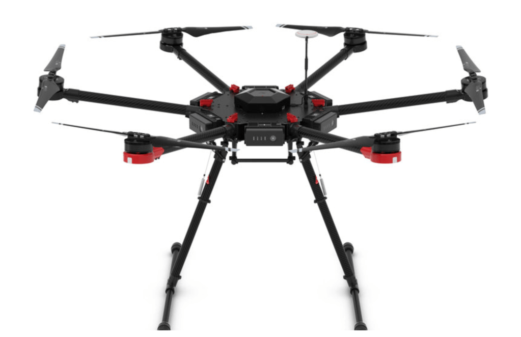
with integrated cameras
UgCS LIDAR toolset in action
How-To: Drone-based LIDAR missions planning
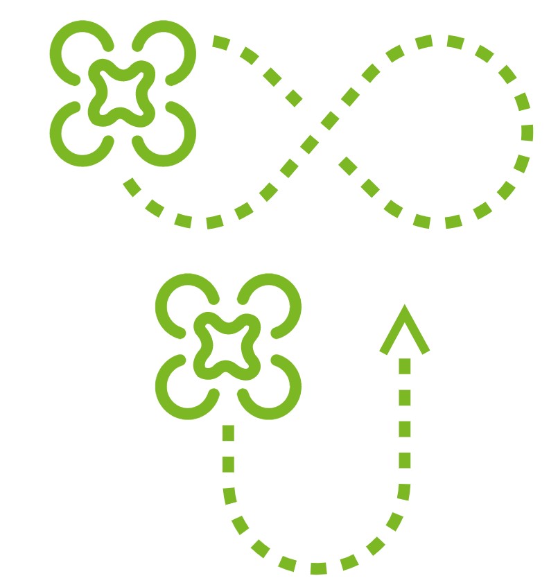
Precise calibration
Increase the accuracy of laser data with automated IMU calibration commands. UgCS supports the two most popular IMU calibration patterns: Eight-figure and U-figure
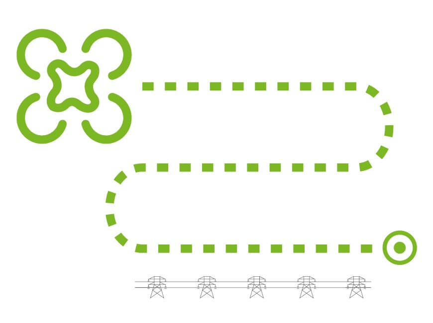
Flight patterns for route planning
Based on the area of your interest, set up LIDAR Area scanning for areas like construction sites, open-pit mines, and forests, or employ LIDAR Corridor scanning for linear objects like power lines or pipelines
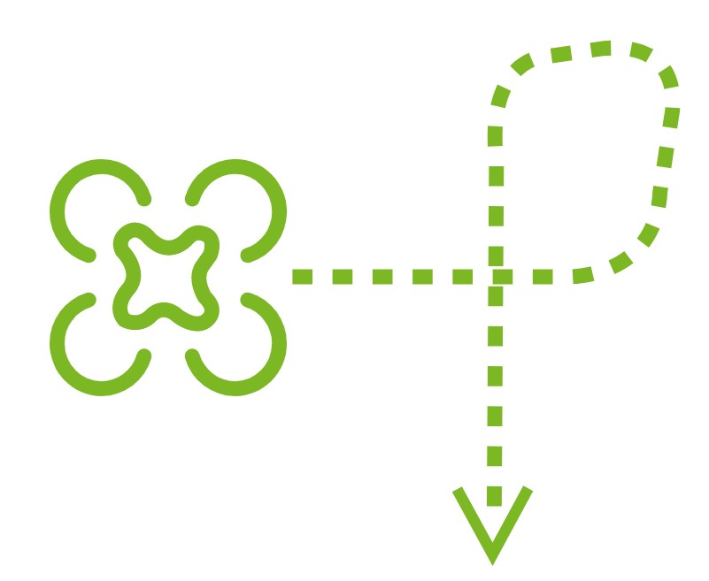
Anti-shake turns
Reduce shaking of the sensor, while accurately following the trajectory, with bank or loop turns applied automatically
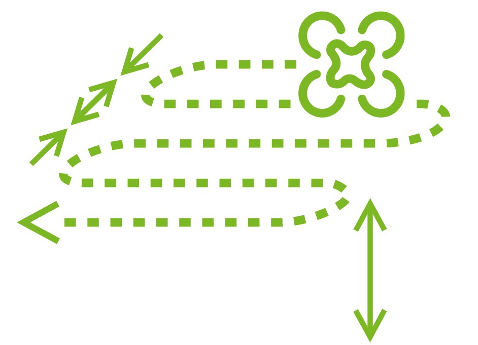
Constant line spacing and buffer
Automatically calculate required line spacing and overlap to ensure desired point cloud density and improve coverage on area borders
Customers in 150+ countries use SPH Engineering solutions daily for drone mission planning, flight control, and data management.
UgCS LIDAR toolset is currently supported for DJI drones:
Supported LIDARs. UgCS supports most popular UAV-based LIDARs:
Inquire price for UgCS Expert LIDAR Toolset