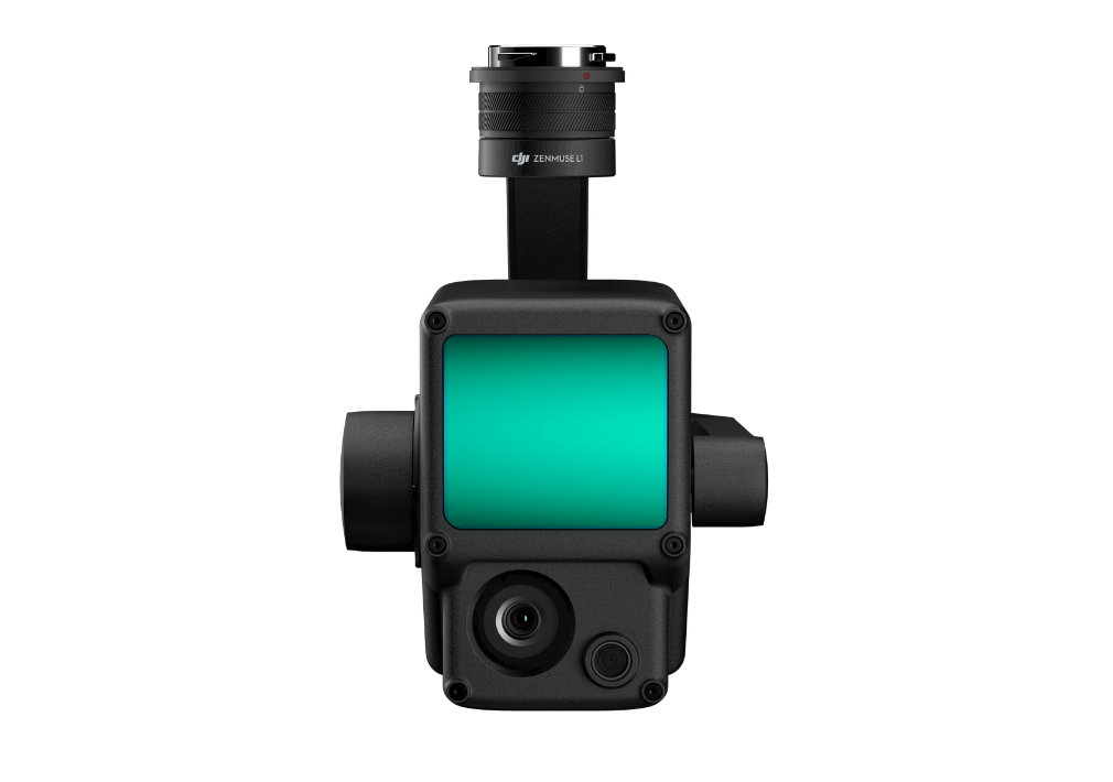
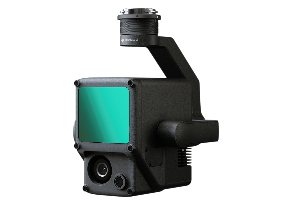
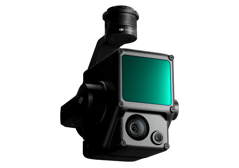
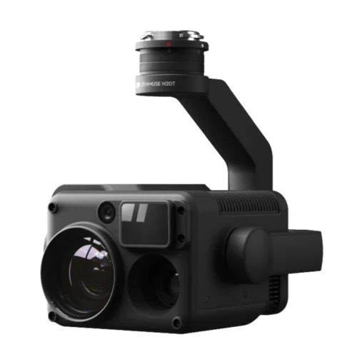
Specs
GENERAL
Dimensions: 152×110×169 mm
Weight Approx: 900 g
Power: 30 W
IP Rating: IP44
Supported Aircraft: Matrice 300 RTK
Operating Temperature Range: -20° to 50° C (-4° to 122° F)
Storage Temperature Range: -20° to 60° C (-4° to 140° F)
SYSTEM PERFORMANCE
Detection Range: 450 m @ 80% reflectivity, 0 klx
;190 m @ 10% reflectivity, 100 klx
Point Rate Single return: 240,000 pts/s
;Multiple return: 480,000 pts/s
System Accuracy Horizontal: 10 cm @ 50 m
;Vertical: 5 cm @ 50 m
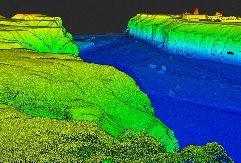
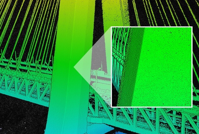
Real-time Point Cloud Coloring Modes: True color; coloring by reflectivity; coloring by elevation
LIDAR
Ranging Accuracy: 3 cm @ 100 m
Maximum Returns Supported: 3
Scan Modes: Repetitive line scan mode, non-repetitive petal scan mode
FOV: Repetitive line scan: 70.4°×4.5°
; Non-repetitive petal scan: 70.4°×77.2°
Laser Safety: Class 1
INERTIAL NAVIGATION SYSTEM
IMU Update Frequency: 200 Hz
Accelerometer Range: ±8 g
Angular Velocity Meter Range: ±2000 dps
Yaw Accuracy: Real-time: 0.18°, Post-processing: 0.08°
Pitch / Roll Accuracy: Real-time: 0.03°, Post-processing: 0.025°
AUXILIARY POSITIONING VISION SENSOR
Resolution: 1280×960
FOV: 95°
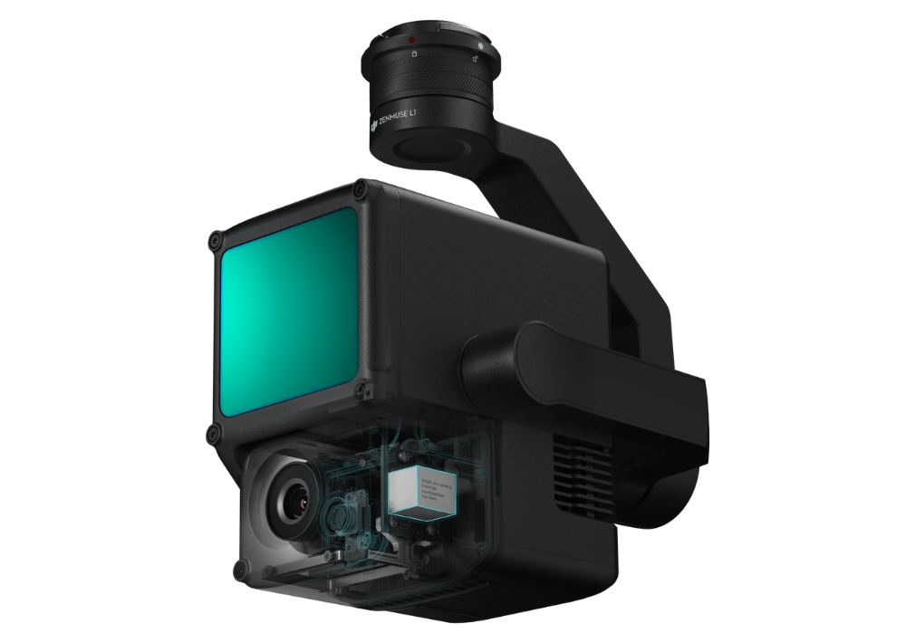
RGB MAPPING CAMERA
Sensor Size: 1 inch
Effective Pixels: 20 MP
Photo Size: 4864×3648 (4:3); 5472×3648 (3:2)
Focal Length: 8.8 mm / 24 mm (Equivalent)
Shutter Speed: Mechanical Shutter Speed: 1/2000 – 8 s / Electronic Shutter Speed: 1/8000 – 8 s
ISO: Video: 100 – 3200 (Auto), 100 – 6400 (Manual)
Photo: 100 – 3200 (Auto), 100 – 12800 (Manual)”
Aperture Range: f/2.8 – f/11
GIMBAL
Stabilized System: 3-axis (tilt, roll, pan)
Angular Vibration Range: 0.01°
Mount: Detachable DJI SKYPORT
Mechanical Range: Tilt: -120° to +30°; Pan: ±320°
Operation Modes: Follow/Free/Re-center
DATA STORAGE
Raw Data Storage: Photo/IMU/Point cloud data storage
Point Cloud Data Storage: Real-time modeling data storage
Supported microSD Cards: microSD: Class 10 or UHS-1 rating or above; Max capacity: 256 GB
POST-PROCESSING SOFTWARE
Supported Software: DJI Terra
Data Format: DJI Terra supports exporting standard format point cloud models:
Point cloud format: PNTS/LAS/PLY/PCD/S3MB format
Reconstruction model format: B3DM/OSGB/PLY/OBJ/S3MB format