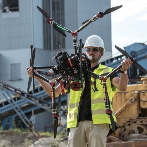
This training is aimed to providing you with the advanced level knowledge and competency needed to carry out the professional drone based surveying and mapping with a combination of classroom and hands on experience with the surveying drone, payloads, software.
This training is aimed to providing you with the advanced level knowledge and competency needed to carry out the professional drone based surveying and mapping with a combination of classroom and hands on experience with the surveying drone, payloads, software.
Recommended for engineers and specialists in Land Surveying and Mapping or ambitious professionals intending to commence drone based survey and mapping works.
Duration: 1 to 2 days (in person /virtual)
Training Rates: this can be provided upon request based on the number of attendees.
Certificate type: Drone Aerial Photogrammetric Survey Specialist
Inquire price for Drone Aerial Photogrammetric Survey Specialist