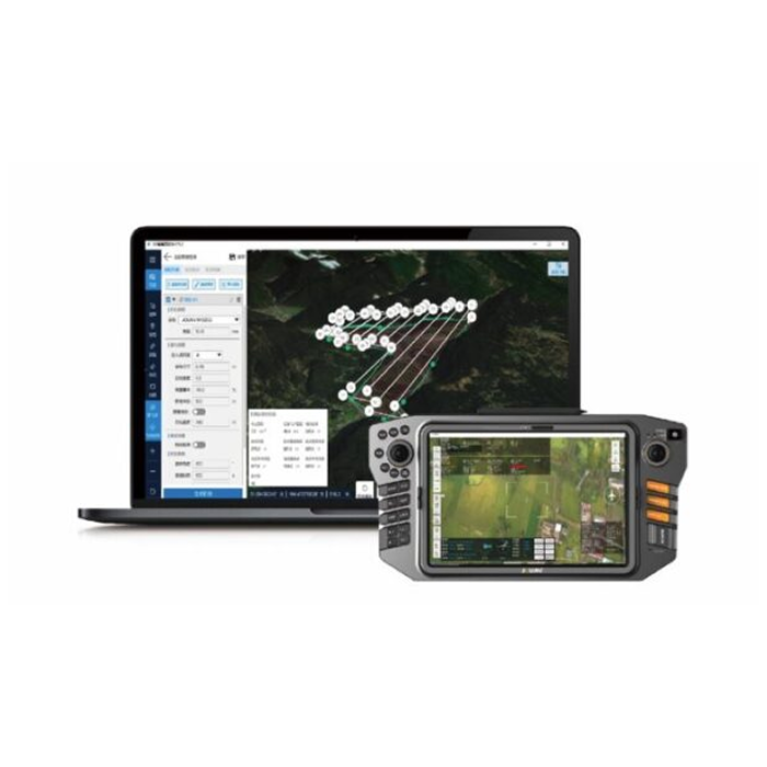
Automate drone flight missions, live video feed, AI-based detection, and data processing
Inquire Now

It helps you plan, simulate, and control your drone’s trajectory more accurately for safer flight

The software eliminates the manual workflows and it’s ideal for both beginners and advanced users

It can detect objects while flying and allows the analysis and recording of information on the ground.

This shows the environmental danger and location of the affected area, enhancing people’s situational awareness.

2D orthomosaic maps are created simultaneously with the real-time video, providing situational information for security teams.

Transmit 1080P HD live video footage to the ground station via a dedicated data link and allow more officers to see the video from their mobile devices.
Inquire price for JOUAV Eagle Map