DroneDeploy Aerial gives your teams the power to fly drones, capture and organize photos, generate maps and inspection reports, and share easily – all in one AI-powered platform.
Inquire Now
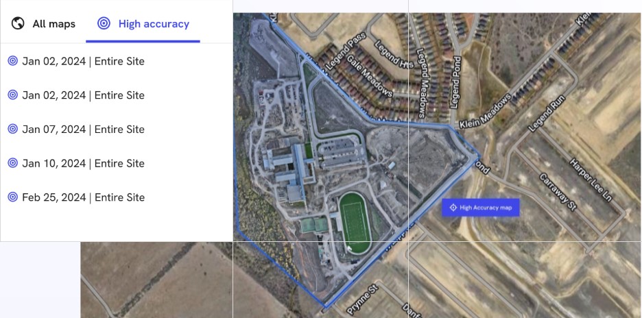
Data you can trust, with high-accuracy mapping features such as instant RTK, PPK and custom coordinate support.
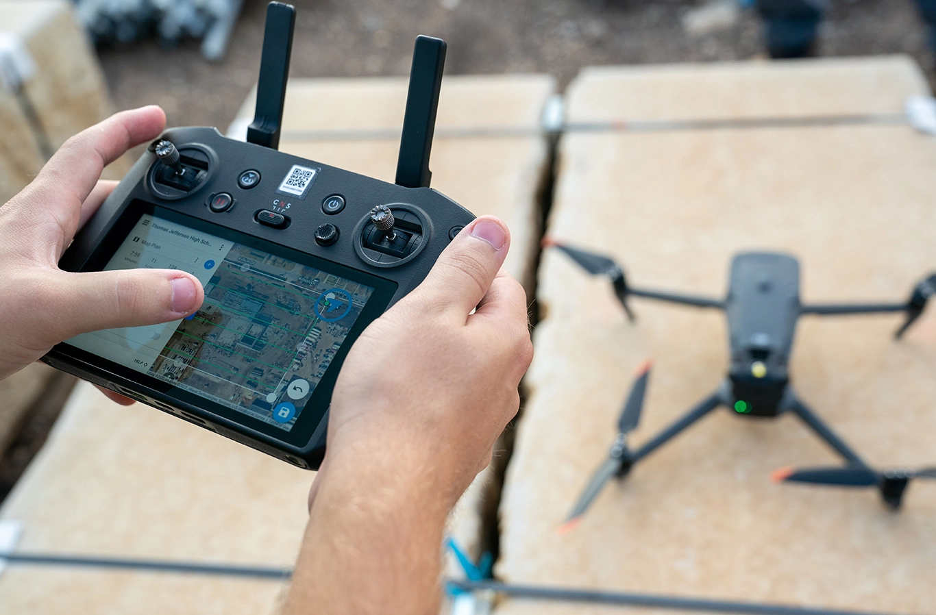
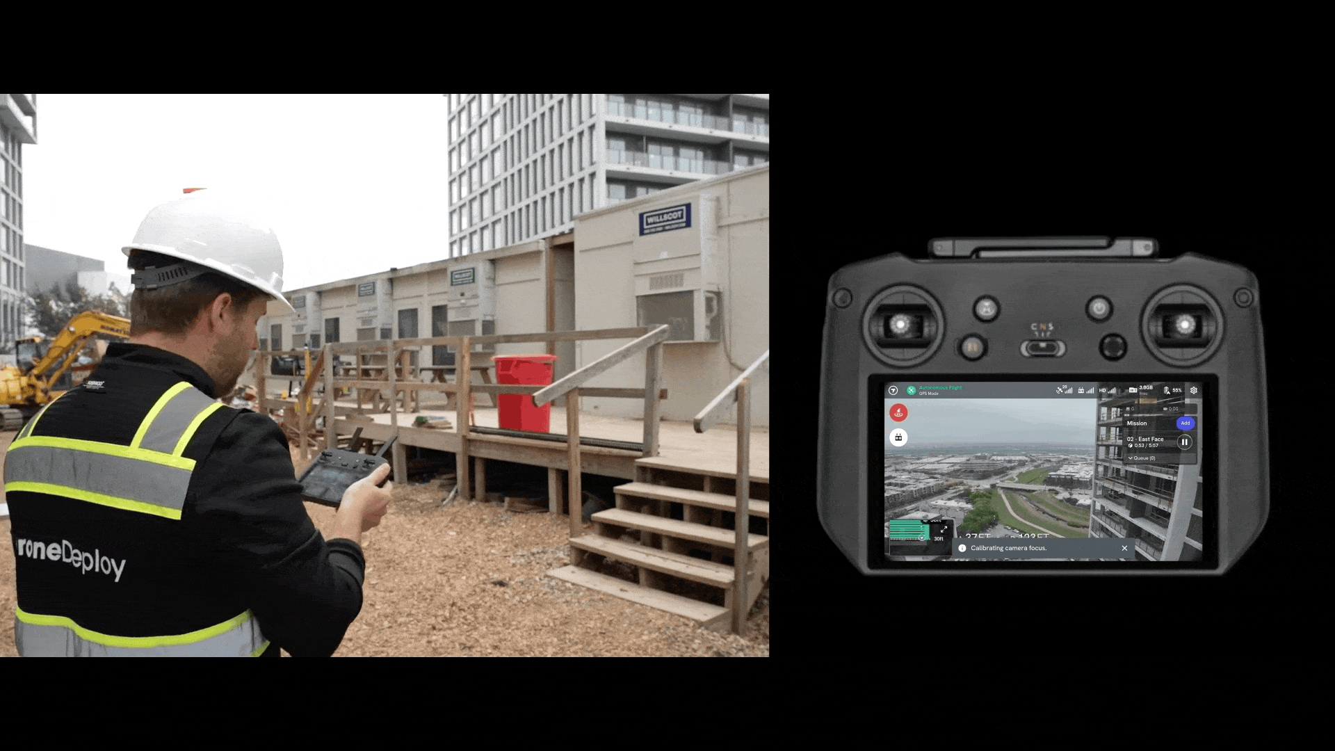
DroneDeploy supports the world’s leading commercial drones – including DJI, Skydio, Wingtra and more – with our native mobile Flight app and desktop flight planning.
All aerial data can be combined with DroneDeploy Ground imagery for a holistic view of your sites and assets – from every angle.
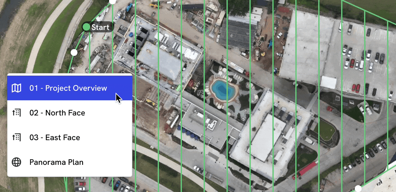
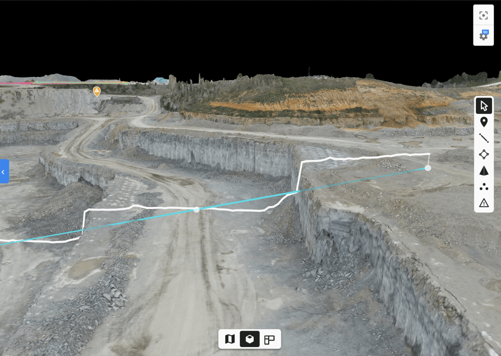
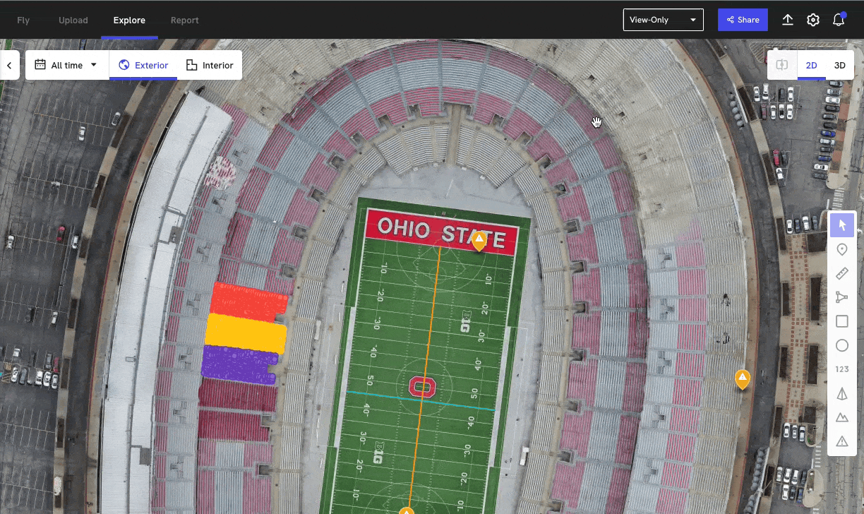
Streamline your processes to create 3D maps, vertical facade inspections and panos that support your site planning and analysis.
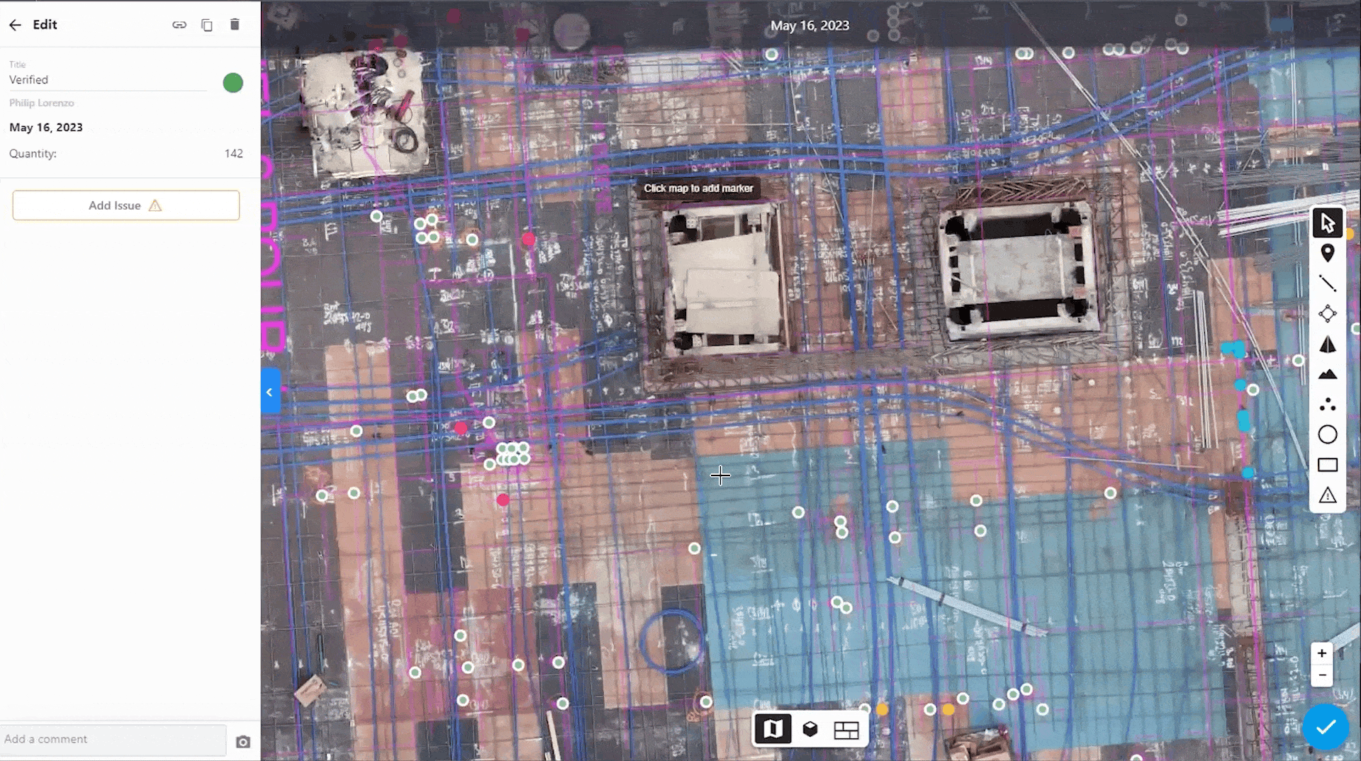
Delegate to your AI intern with our Magic AI tools and AI reports, which automatically perform tedious counting and identification tasks and streamline progress reporting.
Don’t worry about licenses, buying hardware or training pilots, our Professional Services team provides high accuracy without the hassle. Get RTK data on demand. (And if you do want to train your own UAV team, we offer a free Part 107 training course.)
Capture: Document your site in minutes with the DroneDeploy Flight app. Do photogrammetry properly with instant RTK and PPK for simplified sub-inch mapping.
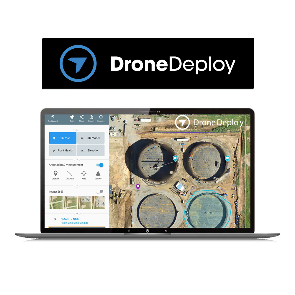
Process: Turn imagery of the projects, sites and assets you care about into high-resolution 360-degree panoramas, videos, photos, 2D orthomosaics and 3D models.
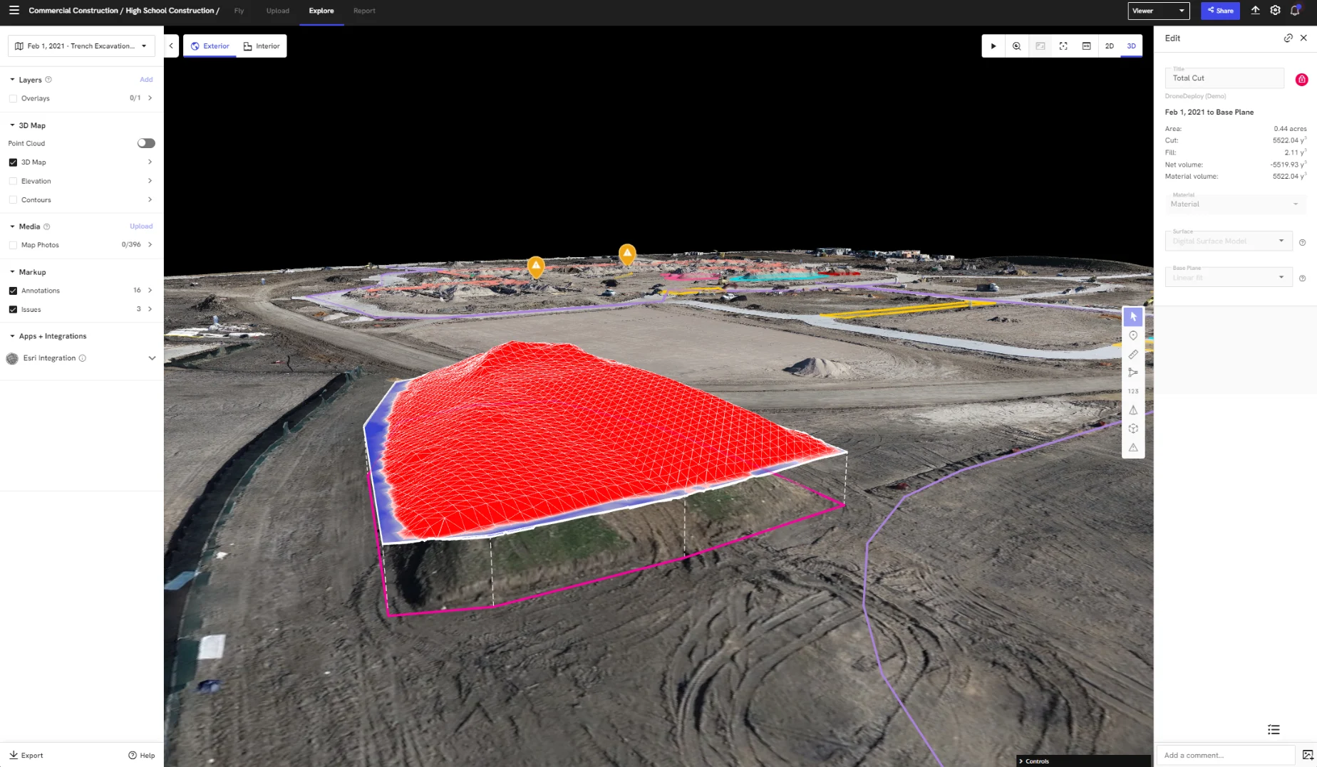
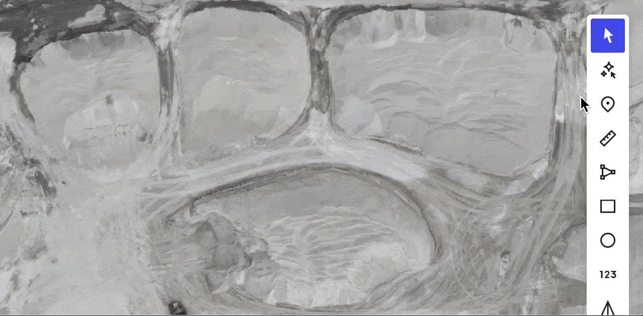
Measure: Compare what has been built to design, add design files as overlays, tag issues or create annotations and measurements.
Report: Generate detailed reports on your data – or create a new report using AI. (Ask us about our concrete sleeve AI reports and solar roof reports.)
Share: Collaborate with your team with instant export tools and integrate your tech stack with our open APIs.
Docked drones are the future – and DroneDeploy already supports the first wave.
These self-charging docks can be left on sites to perform scheduled flights and upload data automatically. No need to change batteries or SD cards – set them up once and you’re ready to start capturing.
Inquire price for DroneDeploy Aerial