AED 83,519.00
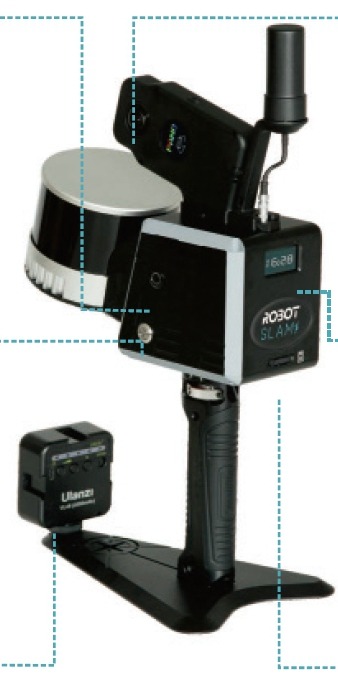
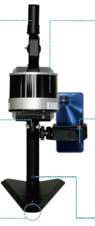
ready to work in indoor, outdoor and underground environments
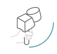
easy to carry and well fits long-time working indoors and outdoors
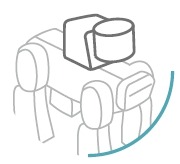
wireless remote scanning of potentially hazardous zones
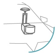
mounted onto a car for entry-level automobile mapping

easy to carry and well fits long-time working indoors and outdoors
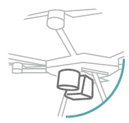
aerial perspective to scan building top which handheld mode cannot
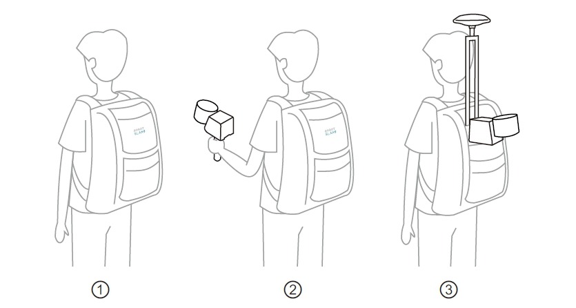
when 3 becomes 1
| Requirement | Minimum | Recommended |
| OS | Windows10/Windows11 64-bit | |
| Graphics Card | GTX-3060/RX6600M or above (NVIDIA series recommended) | |
| CPU | Intel i7-11800H/AMD R7-5800H or above | Intel i7-12700H/AMD R7-6800H or above |
| Internal Memory | 16GB or above | 32GB or above |
| SSD | 1TB or above | 2TB or above |
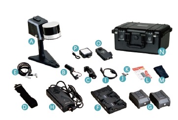


| Model | RobotSLAM basic | RobotSLAM standard | RobotSLAM professional |
| Handheld Components | √ | √ | √ |
| Control Point Record Button | √ | √ | √ |
| Built-in GNSS | – | √ | √ |
| GNSS Antenna | – | √ | √ |
| LED Screen | √ | √ | √ |
| Smartphone Holder | √ | √ | √ |
| Smartphone APP | √ | √ | √ |
| Pano Camera | option | option | option |
| Fill-in Light① | option | option | option |
| Backpack Kit | – | – | √② |
| AI Robot Dog | – | option | option |
| USV-based Mount Kit③ | – | option | option |
| SUV-based Mount Kit③ | – | option | option |
| UAV-based Mount Kit③ | – | option | option |
Notes:
① fill-in light and 360°pano camera are bundled as a visual module.
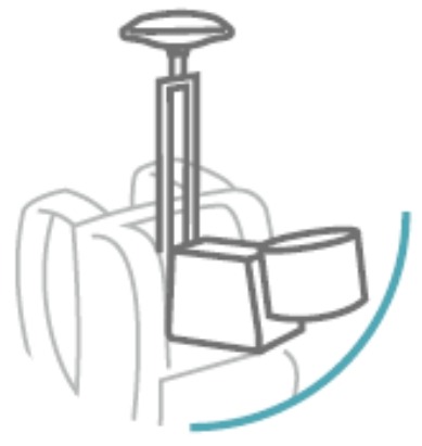
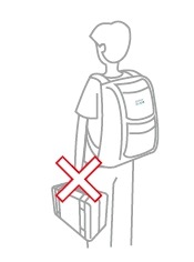
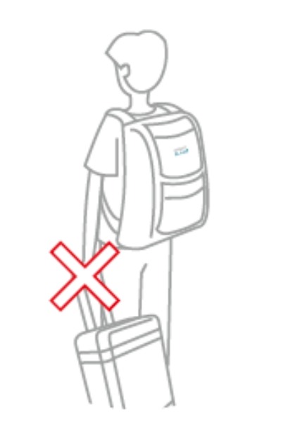
② the backpack kit includes a white plate antenna and a longer GNSS antenna cable; the backpack 3-in-1 magic tactically provides two working modes in one package: handheld and backpack, plus the storage function. No carrying case or trolley suitcase needed.
③ AI Robot Dog Mount kit, USV-based Mount kit, SUV-based Mount kit and UAV-based Mount kit are all optional accessories, available upon request.
Laser scanner + IMU + camera + master control + power supply all integrated into one device.

Measuring range up to 70m, scan rate 200,000 pts/sec max., FOV 360 ° x 59 °, anti-interference design.


Dual 1-inch CMOS sensor, 6K video resolution, 21MP image resolution.
Magazine feeding and lever knob mechanism to well tight between handgrip and device.
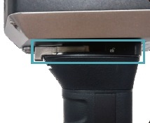
512GB SSD built in, with raw data transfer rate 125 MB/s max.

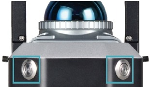
Physical buttons available as well as access via APP interface, convenient in use.
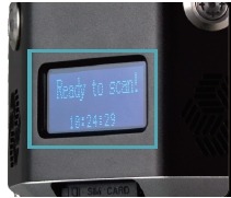
Device status and commands to display, real-time and interactive.
| RobotSLAM | Model | RobotSLAM basic, RobotSLAM standard, RobotSLAM professional |
| Laser Scanner | 16-channel① | |
| Measurement Rate | Max. 320,000 points/sec① | |
| Laser Safety Class | Class 1(IEC 60825-1:2014) eye-safe | |
| Laser Wavelength | 905 nm | |
| Echo Mode | 8-bit, dual return | |
| Measuring Range | 0.05-120 m | |
| Scanning Rate | 10 Hz | |
| Scanning FOV | 360°x 285° | |
| Horizontal Angle Resolution | 0.18° (10 Hz) | |
| Vertical Angle Resolution | 2° | |
| Relative Accuracy | best up to 1 cm | |
| GNSS Differential② | GPS+Glonass+Beidou+Galileo multi-constellation tracking | |
| Signal Tracking② | 555 channels | |
| RTK Positioning Accuracy② | RMS 1 cm+1 ppm | |
| CORS Access② | nano SIM card slot built in | |
| Positioning Data Refresh Rate② | max. 100 Hz | |
| Absolute Accuracy② | best up to 3-5 cm | |
| Scanning Principle | laser sensor 360°mechanical rotation | |
| Accumulated Mileage Error | 0.1%-0.2% (under the condition without loop closure) | |
| Housing Material | aviation-grade aluminum, with high protection level and anti-inference capability | |
| Weight | 1.9 kg (handheld only) | |
| Dimension | 262x230x146 mm | |
| System Consumption | 20 w | |
| Power Supply | dual external Li-ion battery, hot swappable | |
| Battery Unit | DC 14.4V, 6875mAh, 99Wh | |
| Endurance | single battery ≥2 hours, dual batteries ≥4 hours | |
| IP Protection | IP 54 | |
| Temperature | -20~65℃ (operating), -40~85℃ (storage) | |
| Device Connection | Wi-Fi or Ethernet cable | |
| Data Storage | built-in SSD, 512GB (extendable upon request); SD card (removable), 128GB | |
| Data Download | via Ethernet cable, WiFi or SD card | |
| Panoramic Camera | 2-lens, fisheye, 360°, image pixels 18 MP, video pixels 5.7k | |
| Software Package | RobotSLAM Palm (smartphone APP), RobotSLAM Engine (PC) | |
| Processing Method | post-processing on PC | |
| Process Time | approx. 1-2 times of data acquisition |
Note: ① to expect higher point rate like 640,000 points/sec max., 32-channel laser sensor is also available upon request, and that’s RobotSLAM Plus series. ② GNSS differential performance is only applicable to the standard and professional versions. In outdoor scenes with moderate satellite signals coverage, it is recommended to activate GNSS RTK for positioning, which may help much to eliminate control points record and measurement.
Inquire price for South RobotSLAM Handheld 3D Laser Scanner 16 Channels, 320,000 pts/sec