Pix4D is an established developer of photogrammetry and drone mapping software widely adopted in sectors such as surveying, construction, agriculture, mining, and infrastructure inspection. The company focuses on converting aerial and ground imagery into accurate geospatial datasets, including orthomosaics, point clouds, digital surface models, and 3D maps.
The Pix4D ecosystem covers the full workflow of drone-based mapping — from data capture and processing to analysis and integration with CAD and GIS environments. These tools enable organizations to extract actionable information from aerial imagery with survey-grade accuracy and optimized processing workflows.
At GNSS.AE, we offer a range of Pix4D solutions designed to support professional mapping, surveying, and engineering tasks. Below, you’ll find a summary of the key Pix4D software available through our platform.
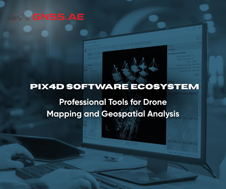
Pix4Dmapper is one of the most widely used photogrammetry software solutions for converting aerial or terrestrial images into accurate georeferenced maps and 3D models. Whether using drones, handheld cameras, or aircraft, it converts images into industry-standard geospatial outputs like orthomosaics, point clouds, and digital surface models.
Top Features
Easily captures RGB, thermal, or multispectral images with any camera or drone, and import them directly into PIX4Dmapper.
Generates precise georeferenced maps and 3D models suitable for engineering and surveying projects.
Advanced processing settings allow users to fine-tune reconstruction parameters for different project types.
The software provides tools for measuring distances, areas, and volumes directly within the generated models and maps.
Processed datasets can be exported in multiple industry-standard formats and shared with project teams, clients, or stakeholders.

Main Applications
Pix4Dmapper is widely used in:
PIX4Dmatic is a powerful desktop solution designed for processing large drone mapping datasets with speed and accuracy. The software is optimized for large-scale mapping projects and corridor mapping without requiring dataset segmentation.
Key Features
Easily manages projects with over 10,000 images without the need to split datasets.
The software is designed to streamline the photogrammetry workflow. Users can import imagery, process datasets, and evaluate project quality in only a few steps.
Produces reliable geospatial outputs such as:

o Orthomosaics

o Digital surface models

o 3D meshes

PIX4Dmatic supports workflows that combine drone imagery and LiDAR data. It can process outputs from tools such as PIX4Dcatch to generate detailed models combining both aerial and ground-based data.
Allows seamless export to PIX4Dsurvey for further analysis and conversion into CAD-ready engineering information.
PIX4Dmatic is particularly valuable for organizations handling large survey projects where both performance and scalability are essential.
PIX4Dsurvey is designed specifically for surveyors and engineers who need to convert point cloud data into CAD-ready vector outputs.
Key Features
PIX4Dsurvey supports point clouds generated by Pix4D software as well as external datasets in formats such as LAS or LAZ. Multiple point clouds can be combined within a single project, allowing users to work with photogrammetry and LiDAR data simultaneously
Extracts critical features such as curbs, building footprints, walls, and terrain elements directly from point clouds.
PIX4Dsurvey provides terrain modeling capabilities using TIN surfaces and Smart Grid technology.
Extracted features can be exported with customizable layers and attributes for use in CAD or GIS software.

Main Applications
PIX4Dsurvey is widely used for:
The Pix4D ecosystem provides a powerful set of tools for converting aerial imagery and point cloud data into actionable geospatial information.
Each solution available at GNSS.AE addresses a specific stage of the drone mapping process:
Pix4Dmapper — professional photogrammetry and mapping workflows
PIX4Dmatic — high-performance processing for large datasets
PIX4Dsurvey — vectorization and CAD integration for engineering projects
Together, these solutions create a comprehensive pipeline that allows organizations to capture aerial data, process it into high-precision models, and integrate the results into engineering and geospatial analysis systems.
To learn more about Pix4D software solutions and find the right tool for your aerial mapping workflow, explore the Pix4D products available at GNSS.AE.