Industry Applications
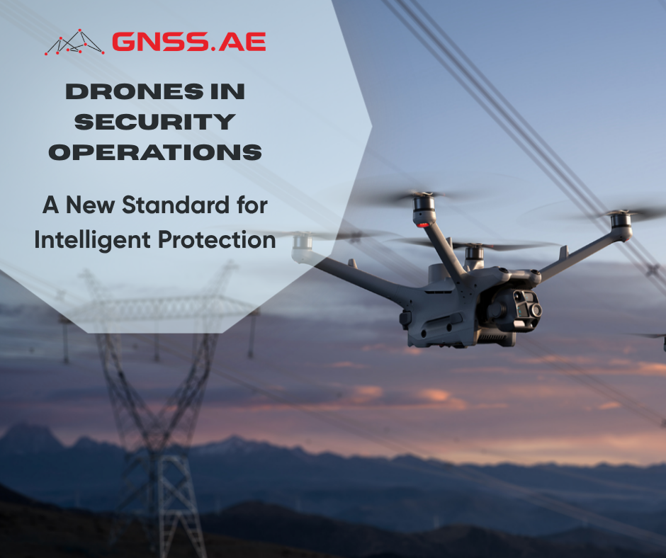
Drones in Security Operations: A New Standard for Intelligent Protection
Introduction The rapid advancement of unmanned aerial systems has reshaped how organizations handle physical security. What once belonged mostly to
Introduction The rapid advancement of unmanned aerial systems has reshaped how organizations handle physical security. What once belonged mostly to
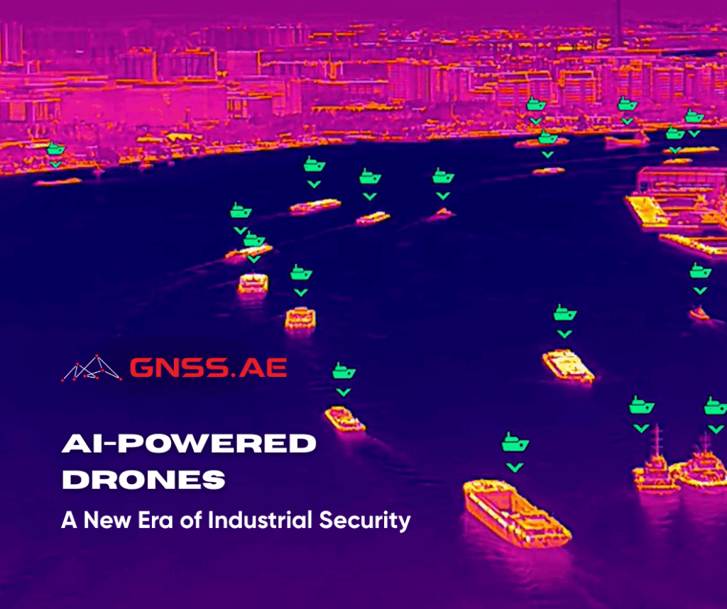
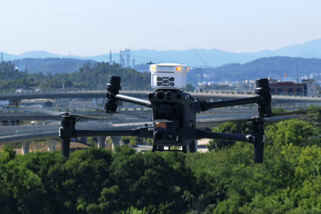
AI-powered drones are redefining the standards of industrial security and operational safety. From mining areas and oil & gas facilities
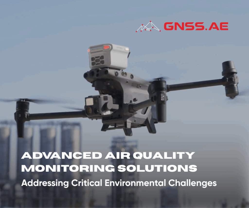
Air quality degradation in the United Arab Emirates represents a significant environmental and public health concern. Recent data from IQAir
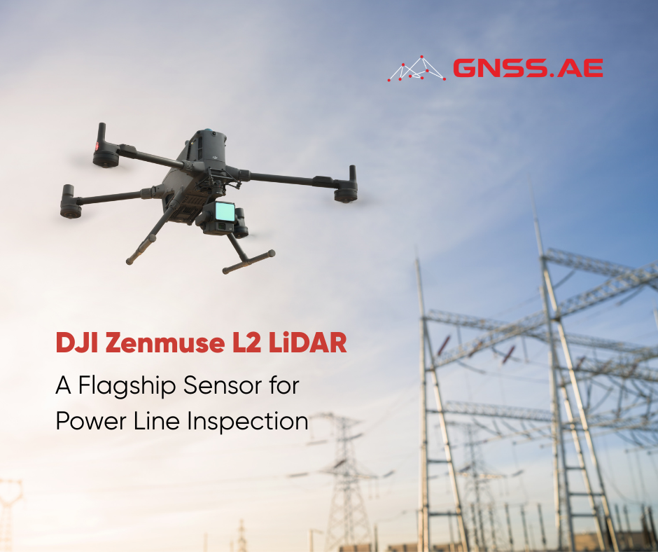
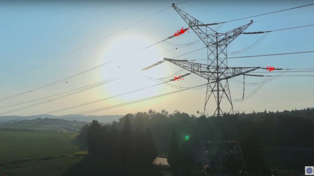
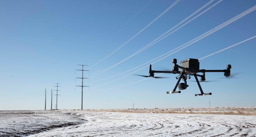
LiDAR technology has become indispensable in the modern electrical industry. During power line inspections, field teams frequently encounter significant challenges
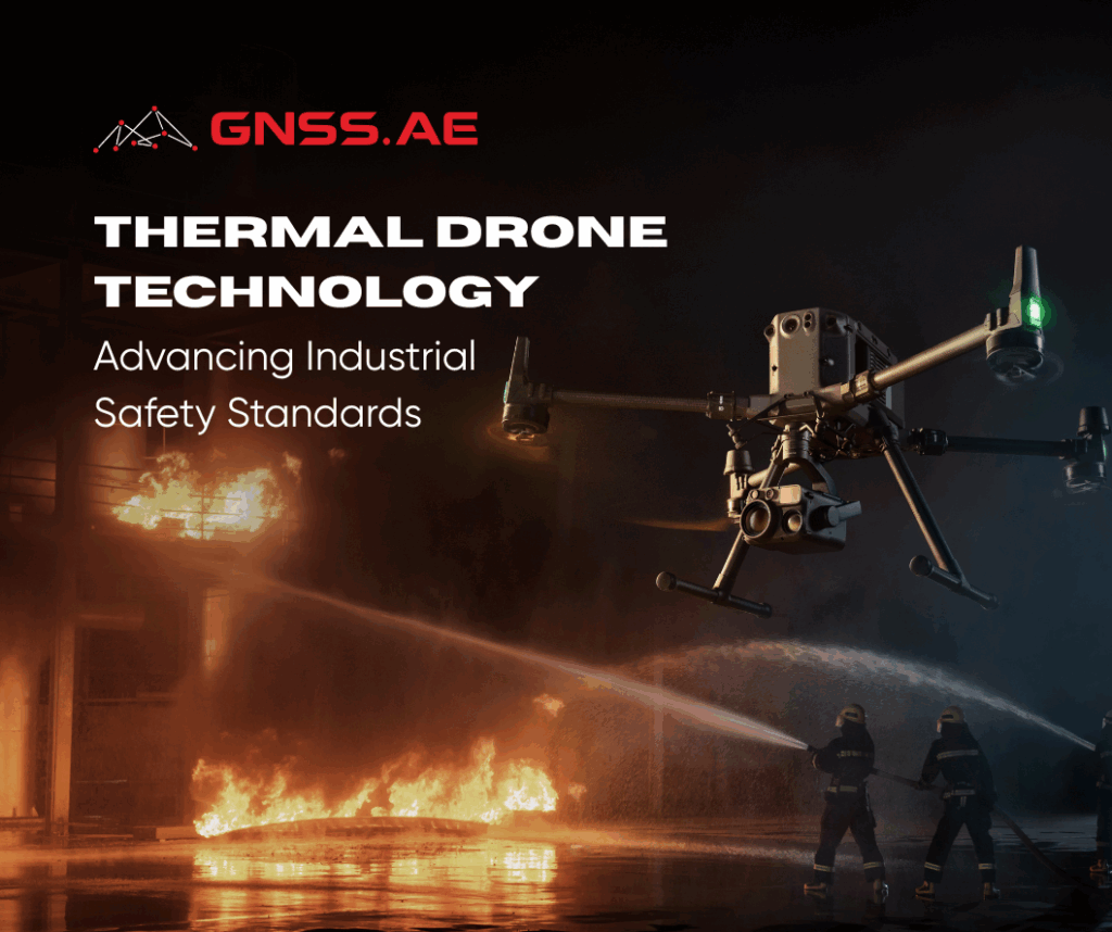
Industrial facilities face constant threats from equipment failures, gas leaks, and structural deterioration. A single undetected anomaly can trigger catastrophic
The mining industry, one of the world’s most critical sectors, is undergoing a dramatic transformation through the integration of drone
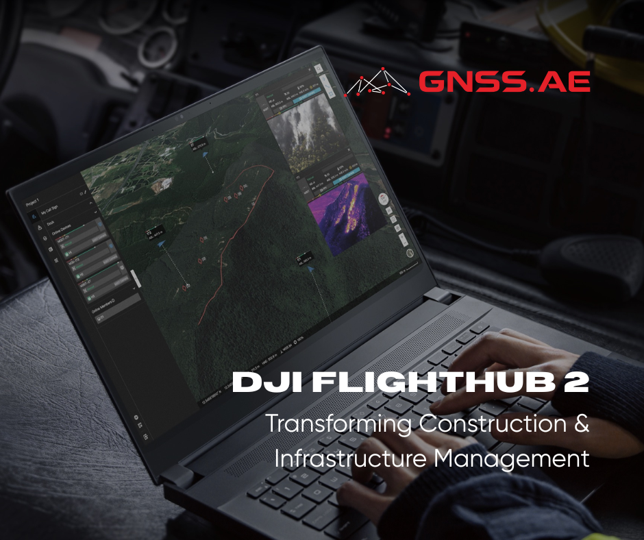
The architecture, engineering, and construction (AEC) industry is experiencing a digital revolution, and DJI is leading the charge with significant
لطالما كان القياس المغناطيسي، أي قياس التغيرات في المجال المغناطيسي للأرض، ركنًا أساسيًا في الاستكشاف الجيوفيزيائي. وقد كانت المسوحات المغناطيسية،
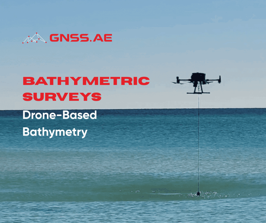
Bathymetry is the science of measuring water depths and mapping underwater landforms. Bathymetric surveys, also known as fathometric surveys, are
Magnetometry, i.e. the measurement of variations in the Earth’s magnetic field, has long been a cornerstone of geophysical exploration. Traditionally
By: Dr. Amin Abd Elraheem (Ph.D., Training Manager) في السنوات الأخيرة، أحدث انتشار الطائرات بدون طيار تحولاً جذرياً في مجموعة
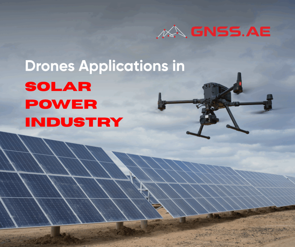
بقلم: د. أمين عبد الرحيم (دكتور مهندس، مدير التدريب) طائرة مع تسارع التحول العالمي نحو الطاقة المتجددة، يواجه قطاع الطاقة
في عصرنا الحالي، تعتمد جميع القطاعات الصناعية تقريبًا (مثل قطاع الطاقة ومرافقها، والتعدين، والنفط والغاز، والتصنيع، والنقل، والاتصالات) على مصادر
By: Dr. Amin Kamal Abd Elraheem (Ph.D., Training Manager) آفاق جديدة لفحص البنية التحتية لشبكات الكهرباء تُستخدم الطائرات بدون طيار