
Cloud Server Online Processing, Balancing Performance and Efficiency


Surveyors can import the data outcomes from INNO8 into SOUTH UAV and other third- party modeling software for 3D modeling.
SGO (PC version) and SurvStar (Android App) will also support 3D modeling functions in the future. Users can choose the software that best suits the current scenario and task requirements to achieve the highest work efficiency.
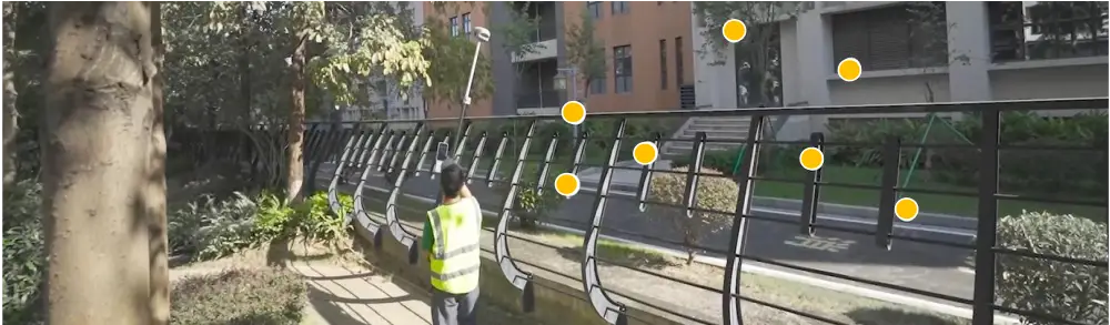
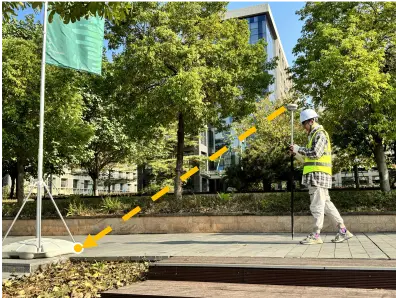
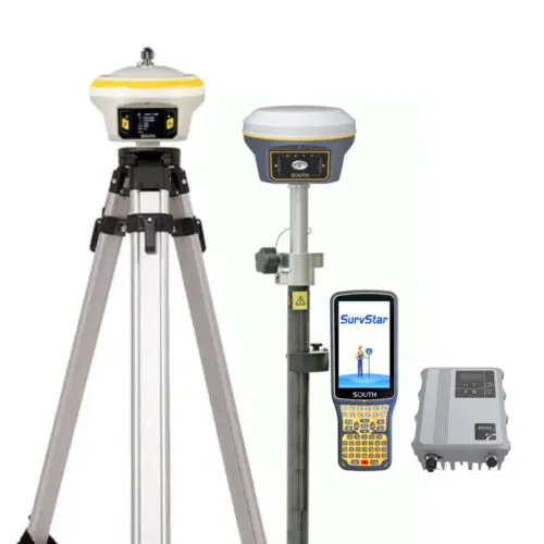
Experience INNO8 AR stakeout by following the real-time, real-scene guidance on the data controller display without continuously watching on the compass or leveling the pole.
In addition to points, INNO8 can handle staking out lines and curves with AR, which broaden its applications and is suitable for more complex work demands. With AR stakeout, you can now achieve quick and precise stakeouts with ease.


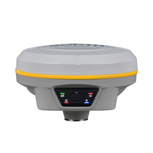
| Product Name | south INNO8 |
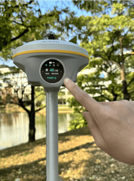
| Channels | 1598 |
| GPS: | L1, L1C, L2C, L2P, L5 |
| GLONASS: | L1C/A,L1P,L2C/A,L2P,L3 |
| BDS: | BDS-2: B1I, B2I, B3I, BDS-3: B1I, B3I, B1C, B2a, B2b* |
| GALILEO: | E1, E5A, E5B, E6C, AltBOC* |
| SBAS(WAAS/MSAS/EGNOS/GAGAN): | (WAAS/MSAS/EGNOS/GAGAN): L1* |
| IRNSS: | L5* |
| QZSS: | L1, L2C, L5* |
| MSS L-Band: | BDS-PPP, Galileo HAS |
| Other Features | Positioning output rate: 1Hz~20Hz |
| Code differential GNSS positioning | H: 0.25m+1 ppm RMS V: 0.50m+1 ppm RMS |
| Static(long observations) | H: 2.5mm+0.1 ppm RMS V: 3mm+0.4 ppm RMS |
| Rapid static | H: 2.5 mm + 0.5 ppm RMS V: 5 mm + 0.5 ppm RMS |
| PPK | H: 3 mm + 1 ppm RMS V: 5 mm + 1 ppm RMS |
| RTK(NTRIP) | H: 8 mm + 0.5 ppm RMS V: 15 mm + 0.5 ppm RMS |
| RTK initialization time | 2 ~ 8s |
| BDSPPP | H:10cm V: 20cm |
| Galileo HAS | H: 20cm V: 40cm |
| Operating system | Linux |
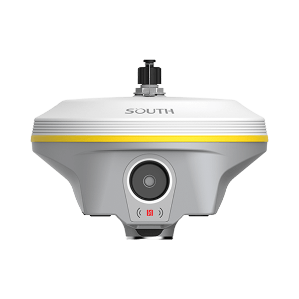
| Dimension | 155mm(Φ) *98.5mm(H) |
| Weight | 1.2kg |
| Material | Magnesium aluminum alloy shell |
| Temperature | Working: -45ºC to +75ºC Storage: -55ºC to +85 ºC |
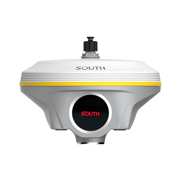
| AR Stakeout Camera | Pixel:2M |
| Visual Angle:75° | |
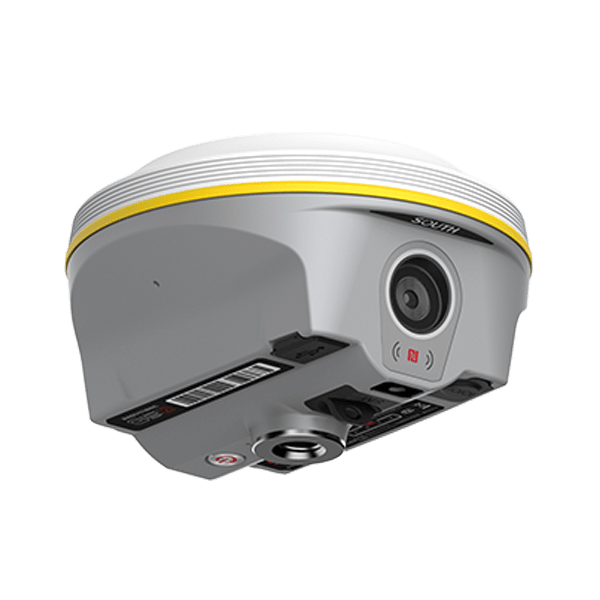
| I/O Ports | 5-PIN LEMO (external power port + RS232) Type-C(charge+USB+OTG+Ethernet) UHF antenna interface |
| Cellular Network | 4G LTE, 3G WCDMA, 2G GPRS, GSM |
Inquire price for South INNO8