DJI M400 L3 LiDAR P1 Camera Bundle
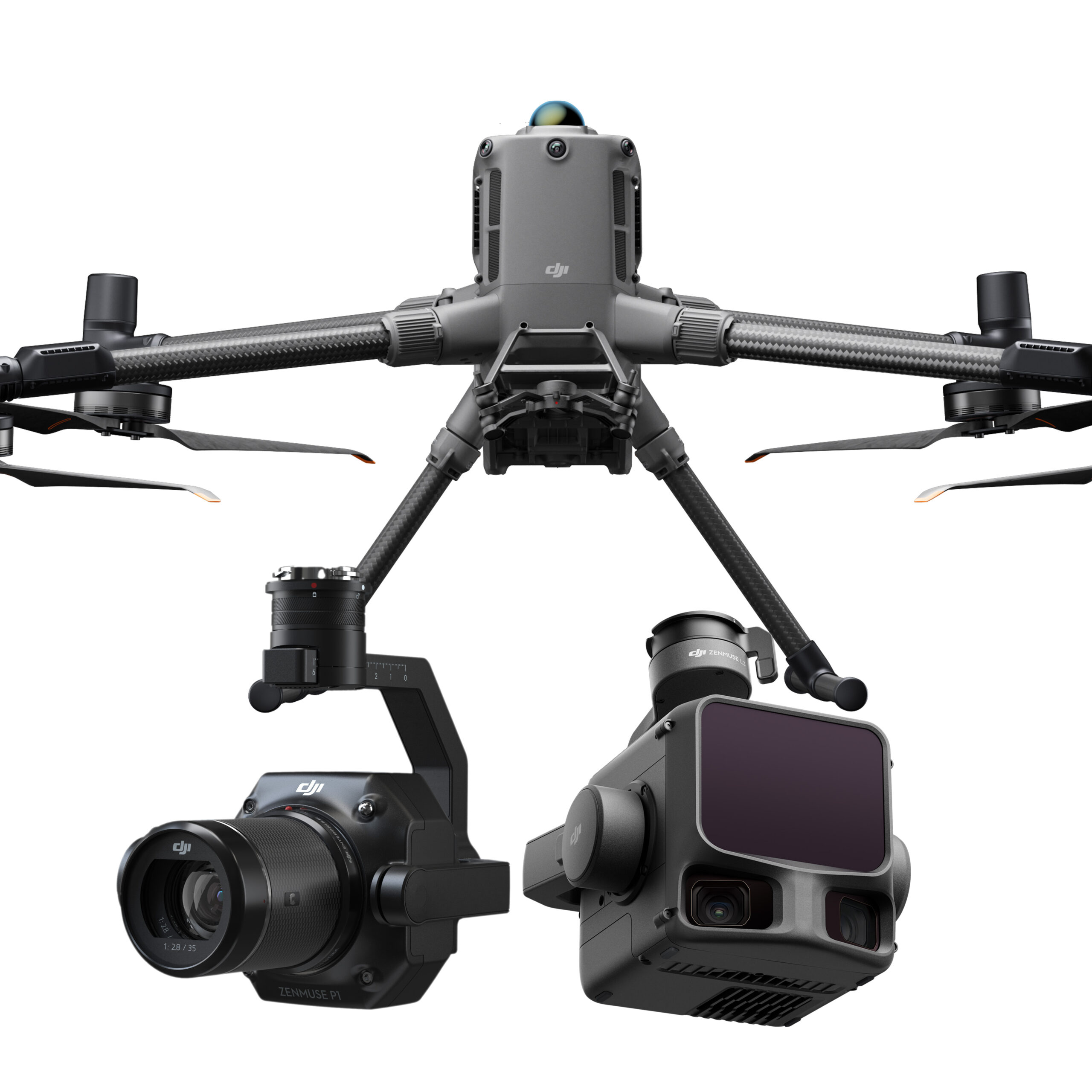
The DJI M400 is engineered for demanding enterprise missions. It supports multiple payload configurations and performs reliably in harsh industrial conditions. With its strong airframe and long flight endurance, it delivers consistent results for professional aerial operations.
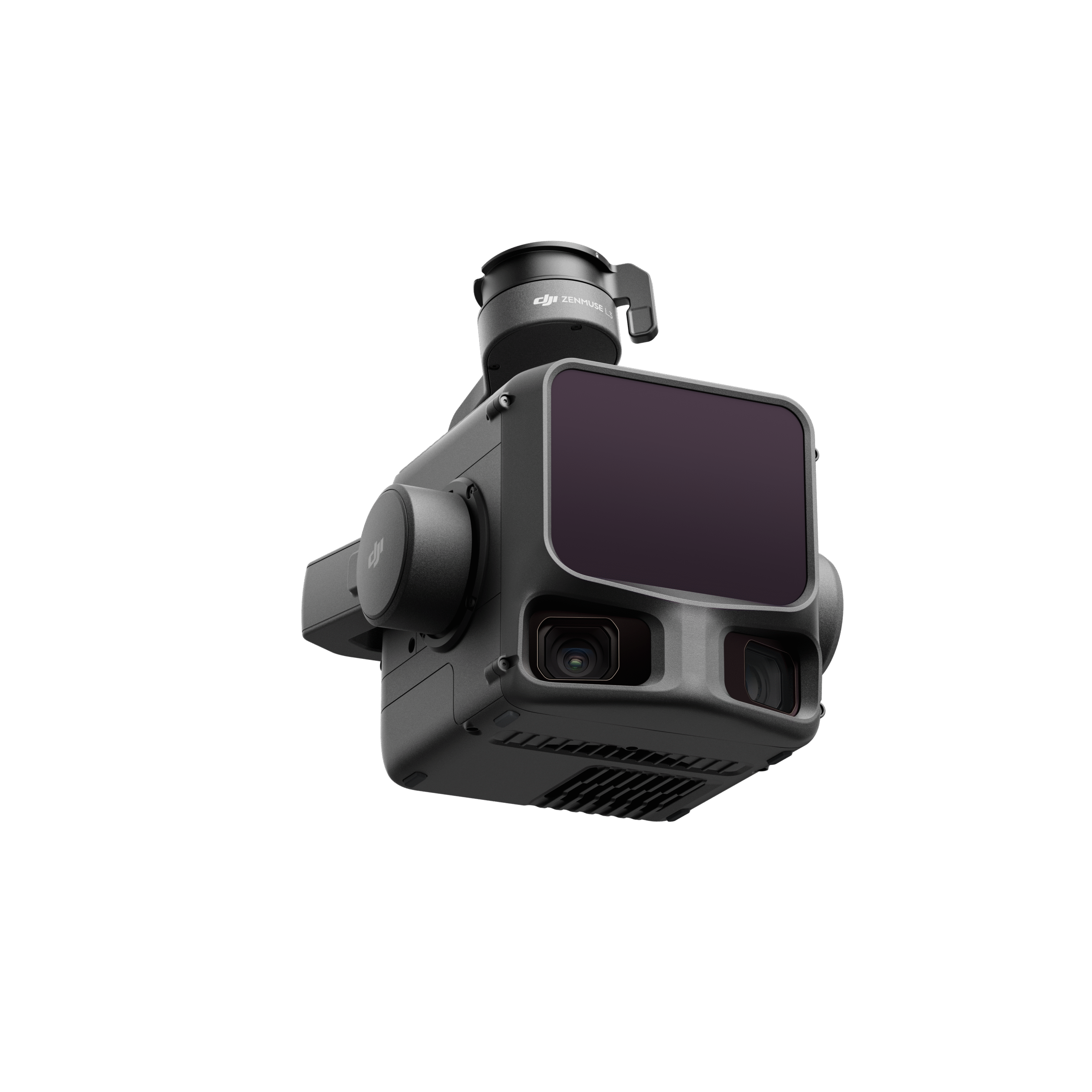
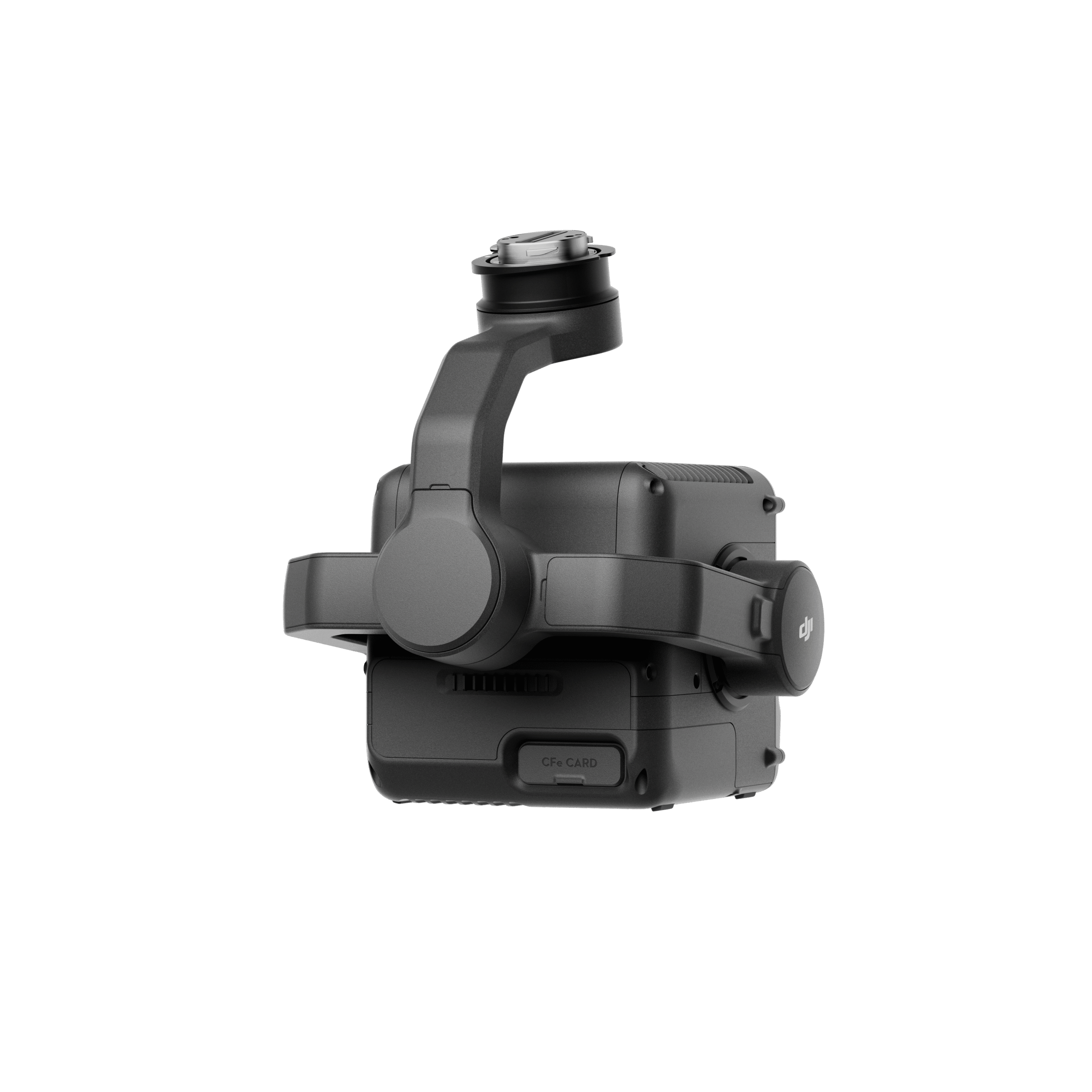
Paired with the Zenmuse L3 LiDAR sensor, this bundle provides high-accuracy laser scanning and a detection range of up to 950 metres at 10% reflectivity. It achieves a vertical accuracy of about 3 cm at 120 metres altitude, offering reliable precision for detailed mapping tasks. The LiDAR system includes dual 100 MP RGB mapping cameras, producing richly colourised point clouds and enhancing visual context.
The package also includes the Zenmuse P1 camera, featuring a 45 MP full-frame sensor and mechanical shutter. It delivers mapping accuracy of around 3 cm horizontally and 5 cm vertically under optimal conditions.
Together, the M400, L3, and P1 create a complete aerial mapping solution. Professionals can capture both LiDAR point-cloud data and high-resolution orthophotos in one flight. This unified workflow saves time, reduces the need for multiple platforms, and increases field efficiency.
Ideal for topographic surveys, construction monitoring, forestry analysis, infrastructure inspections, and 3D modelling, this bundle offers survey-grade deliverables from every mission. With rugged construction and seamless payload integration, the DJI M400 bundle ensures accuracy, speed, and reliability in any professional environment.
The DJI M400 + L3 LiDAR + DJI Zenmuse P1 Camera Bundle combines three powerful components: the DJI M400 enterprise drone platform, the Zenmuse L3 LiDAR sensor system, and the Zenmuse P1 full-frame photogrammetry camera. Together, this bundle offers a complete aerial surveying solution delivering both LiDAR scanning for 3D terrain/structure data and high-resolution photogrammetry for imagery, all from the same flight platform.
Inquire price for DJI M400 + L3 LiDAR + P1 Camera Bundle