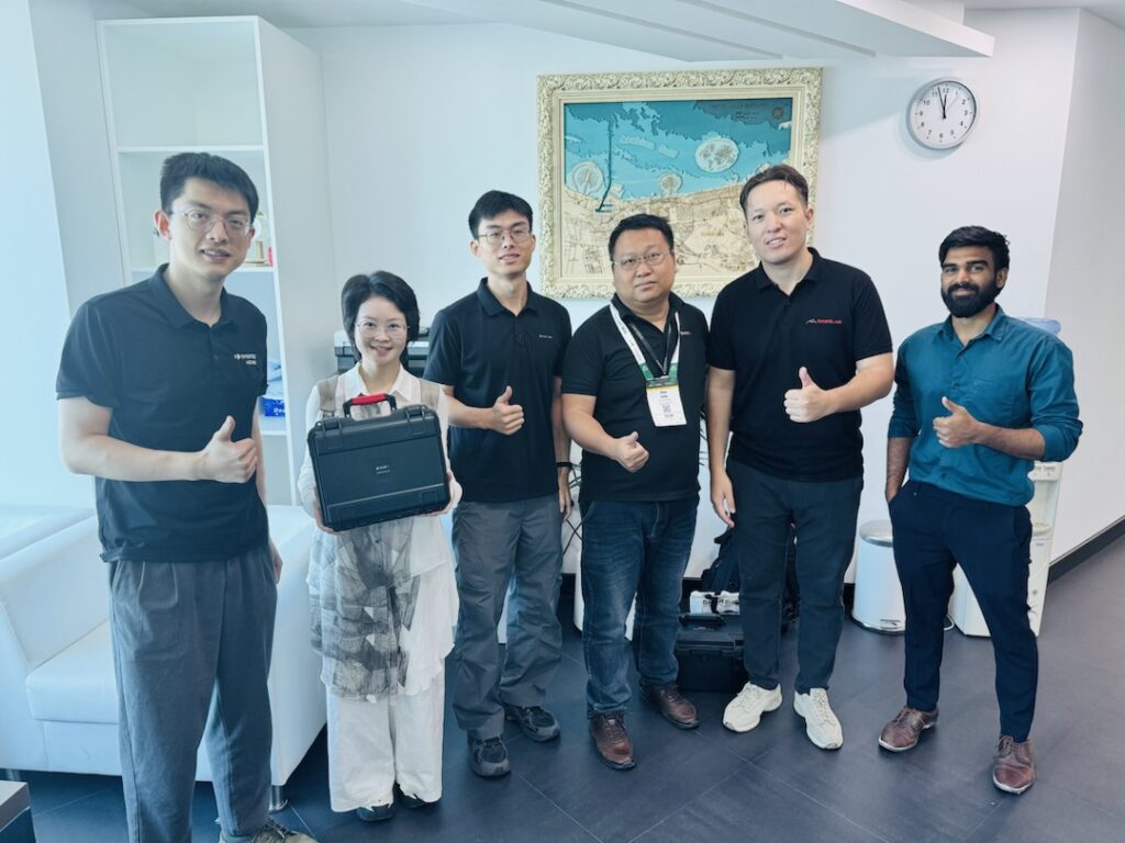
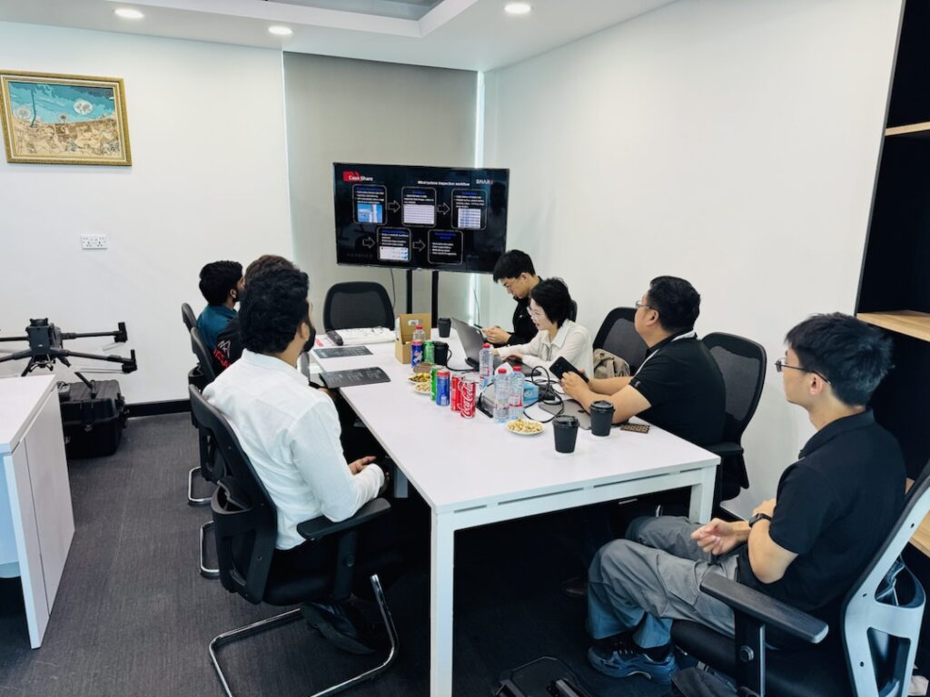
On November 26, GNSS.AE had the pleasure of welcoming our partner SHAREUAV to our Dubai office for an exclusive technology showcase. The session brought together specialists from both teams for an in-depth presentation of SHAREUAV’s latest aerial surveying, inspection and LiDAR solutions—each designed to elevate data accuracy, operational efficiency and field productivity.
The meeting was filled with engaging discussions, hands-on demonstrations, and valuable insights into how these cutting-edge systems are reshaping the geospatial and UAV workflows across the region.
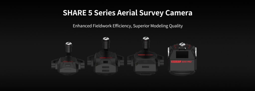
One of the highlights of the session was the introduction of the SHARE 5 Series Aerial Survey Camera, fully adapted to the new DJI Matrice 400 platform.
The system integrates seamlessly through full compatibility with the M400’s:
Hardware interface
Supporting firmware
Software communication protocols
This enables true plug-and-fly integration, ensuring rapid deployment and smooth operation for field teams.
The SHARE 5 Series supports the DJI M400’s 25 m/s high-speed aerial survey capability, delivering remarkable efficiency improvements. Under a 3 cm GSD requirement, users can now cover significantly larger areas in a single day compared to previous-generation payload solutions.
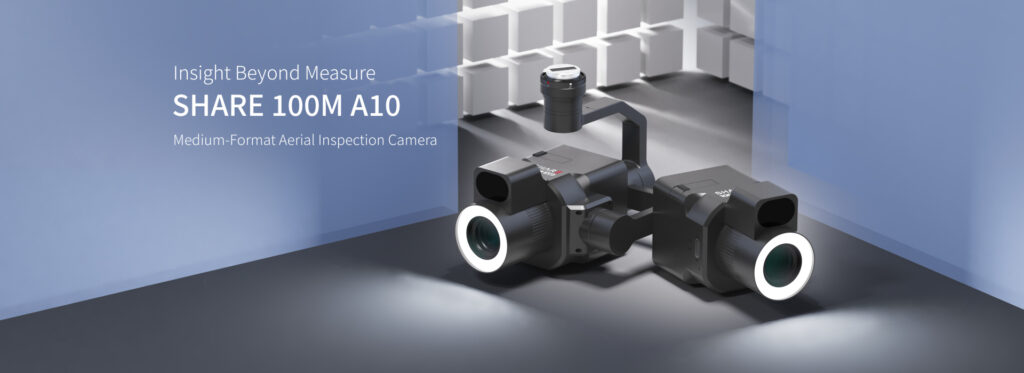
The SHAREUAV team also showcased the powerful SHARE 100M A10, a next-generation payload engineered for inspection professionals.
Key features include:
102 MP resolution using the IMX461 medium-format sensor
Autofocus lens powered by integrated LiDAR
Ring fill lighting to enhance clarity in challenging environments
These capabilities make the SHARE 100M A10 well-suited for detail-intensive applications such as structural inspections, powerline monitoring, asset management and industrial documentation.
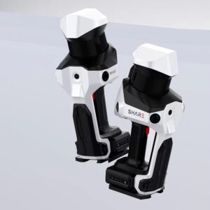
Attendees also explored the SHARE SLAM S20, a versatile 3D LiDAR scanning solution built to deliver high-fidelity datasets.
Key specifications:
Dual one-inch large-format CMOS sensors
2.4 μm pixel size
16 effective megapixels per lens
This unique dual-sensor setup provides enhanced image clarity and significantly more accurate point cloud colorization, enabling more realistic, actionable 3D models for surveying, construction, and digital-twin workflows.
Rounding out the presentations was the SHARE SLAM S100, a high-end LiDAR scanning system designed for demanding professional applications.
Equipped with either a 16-channel or 32-channel mechanical rotating LiDAR, the S100 offers:
Powered by SHARE’s advanced SLAM algorithms, SHARE SLAM S100 provides dense, highly accurate point-clouds ideal for mobile mapping, infrastructure documentation, and precision surveying tasks.
The visit highlighted the shared commitment of GNSS.AE and SHAREUAV to advancing geospatial technology across the Middle East and Africa. Together, we continue to support professionals in surveying, inspection and mapping with solutions that push the boundaries of reliability and performance.
We look forward to future collaborations and to bringing even more innovative tools to our clients and partners.